Uphill
1130m
Length
17km
Duration
8h
Elev gain
1130m
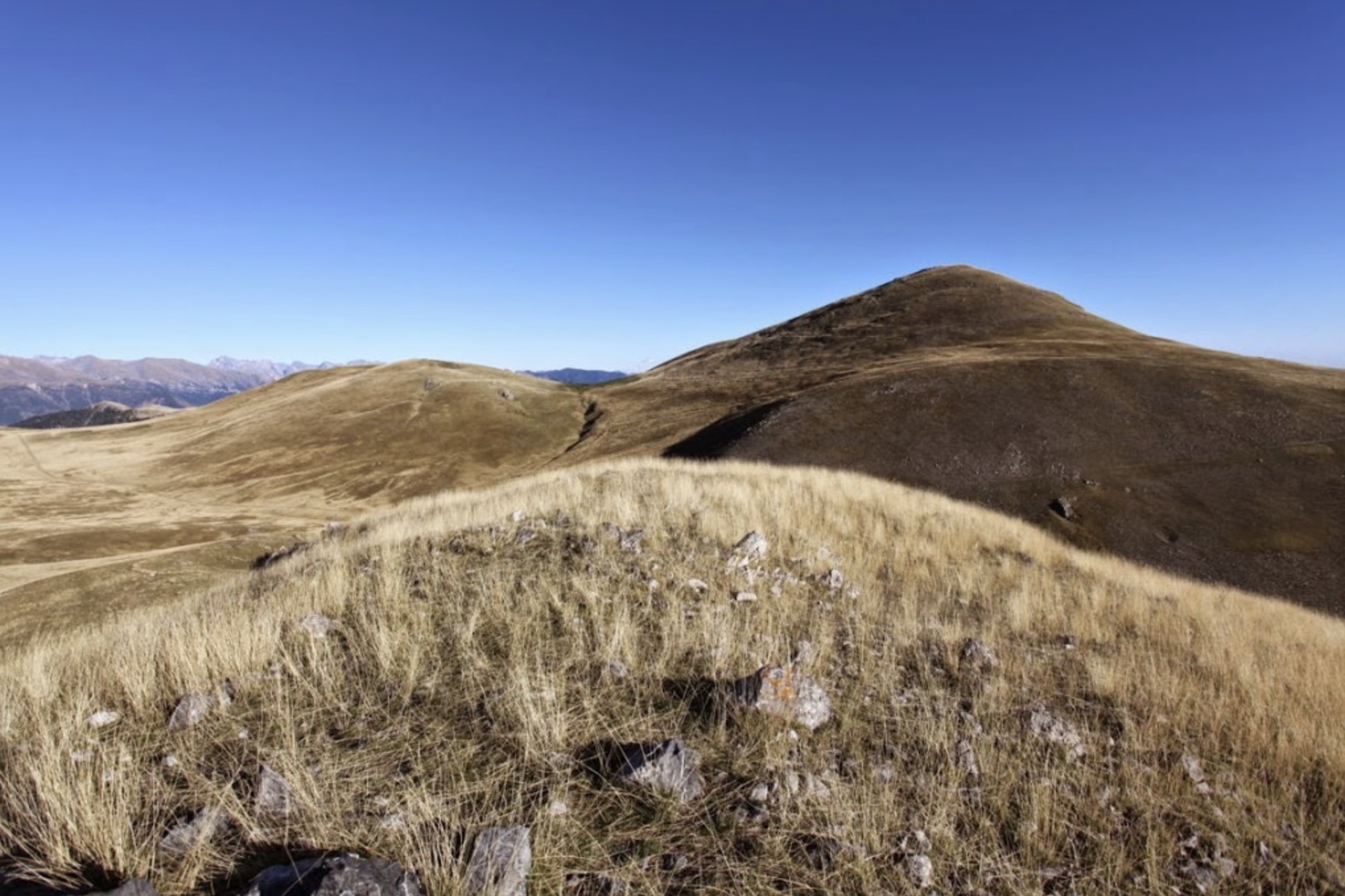
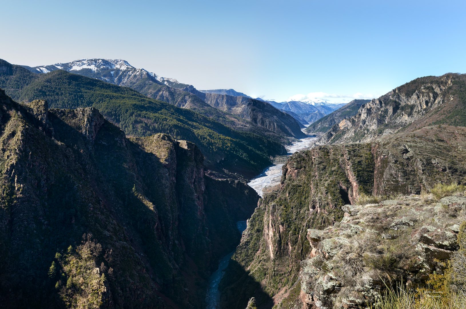
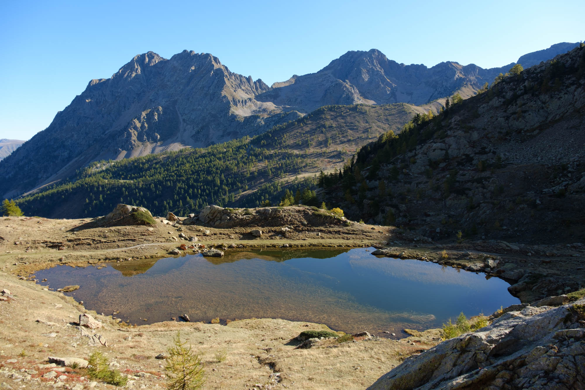
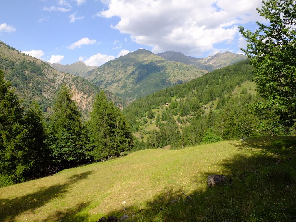
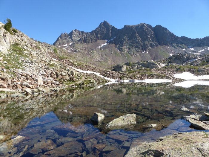
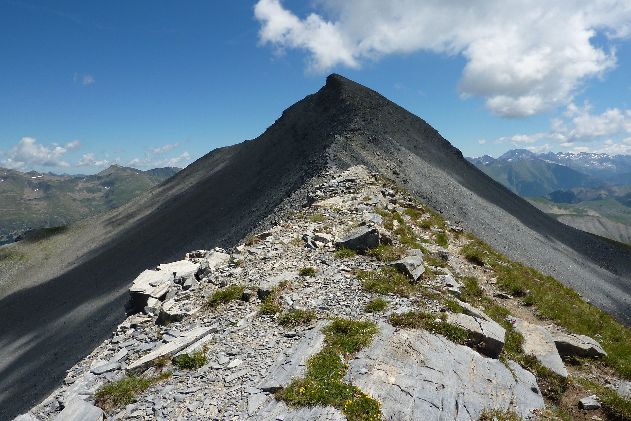
Ascent of Mont Mounier (2817 m), which allows you to enjoy a beautiful panorama of the Mercantour. Little vegetation and lots of rock.

Already more than 200,000 users!
Uphill
1130m
Highest point
2812m
Downhill
1130m
Lowest point
1747m
Route type
There and back
Download the map on your smartphone to save battery and rest assured to always keep access to the route, even without signal.
Includes IGN France and Swisstopo.
I indicate whether dogs are allowed or prohibited on this trail
From June to September
0 ratings
Also enjoy:

Already more than 200,000 users!