Uphill
940m
France > Provence-Alpes-Côte d'Azur > Hautes-Alpes > Queyras Regional Natural Park
Length
12km
Duration
6h30min
Elev gain
940m
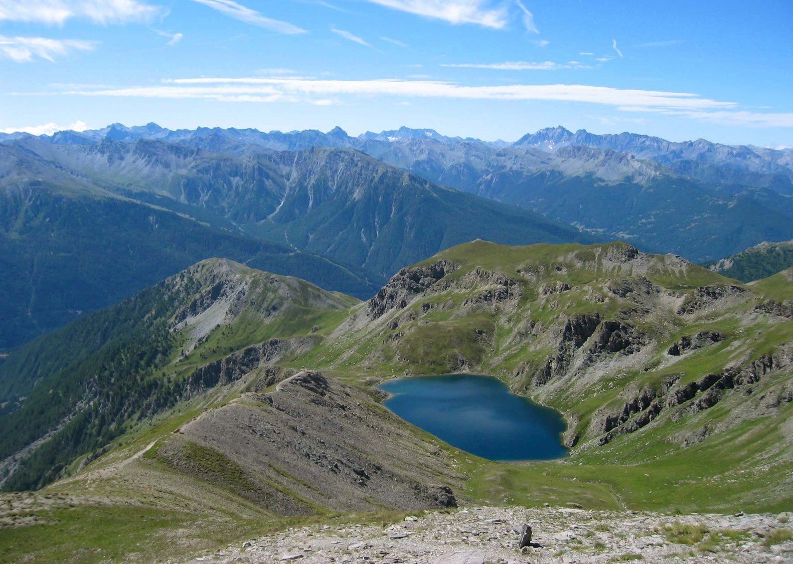
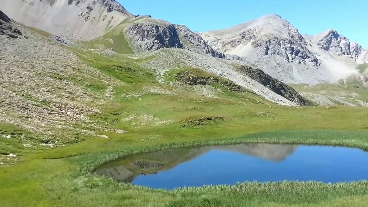
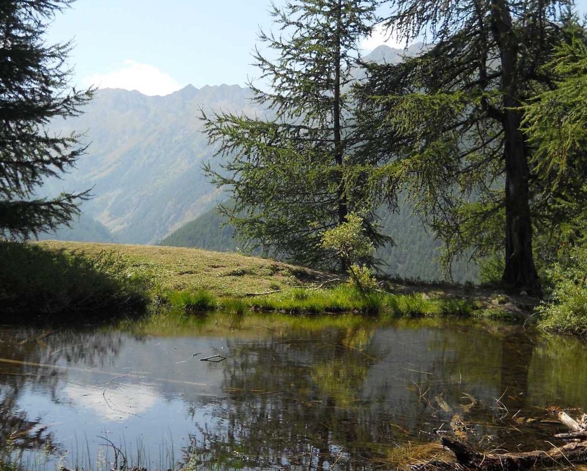
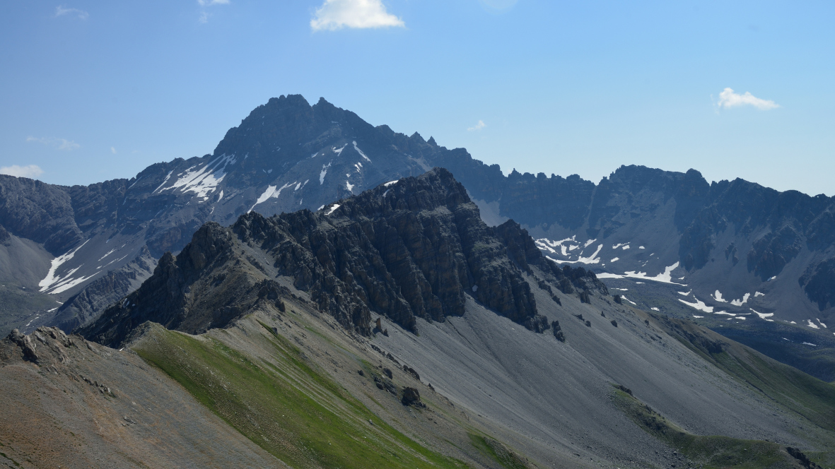
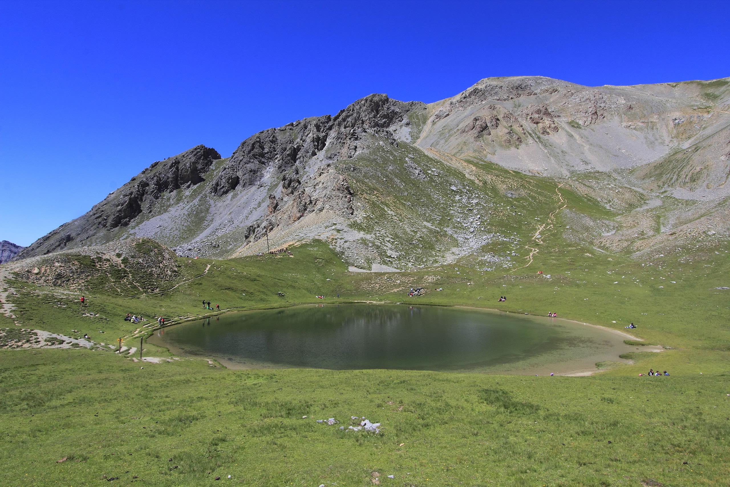
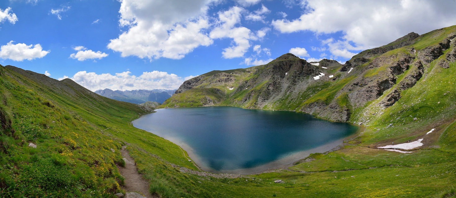
Loop around the Malrif lakes: Grand Laus, Petit Laus and Mezan lakes. Physical hike with more than 900m of elevation gain. Landscapes are magnificent.

Already more than 200,000 users!
Uphill
940m
Highest point
2908m
Downhill
940m
Lowest point
1964m
Route type
There and back
Download the map on your smartphone to save battery and rest assured to always keep access to the route, even without signal.
Includes IGN France and Swisstopo.
I indicate whether dogs are allowed or prohibited on this trail
From June to September
1 rating
Also enjoy:

Already more than 200,000 users!