Uphill
314m
France > Provence-Alpes-Côte d'Azur > Hautes-Alpes > Queyras Regional Natural Park
Length
3km
Duration
2h
Elev gain
314m
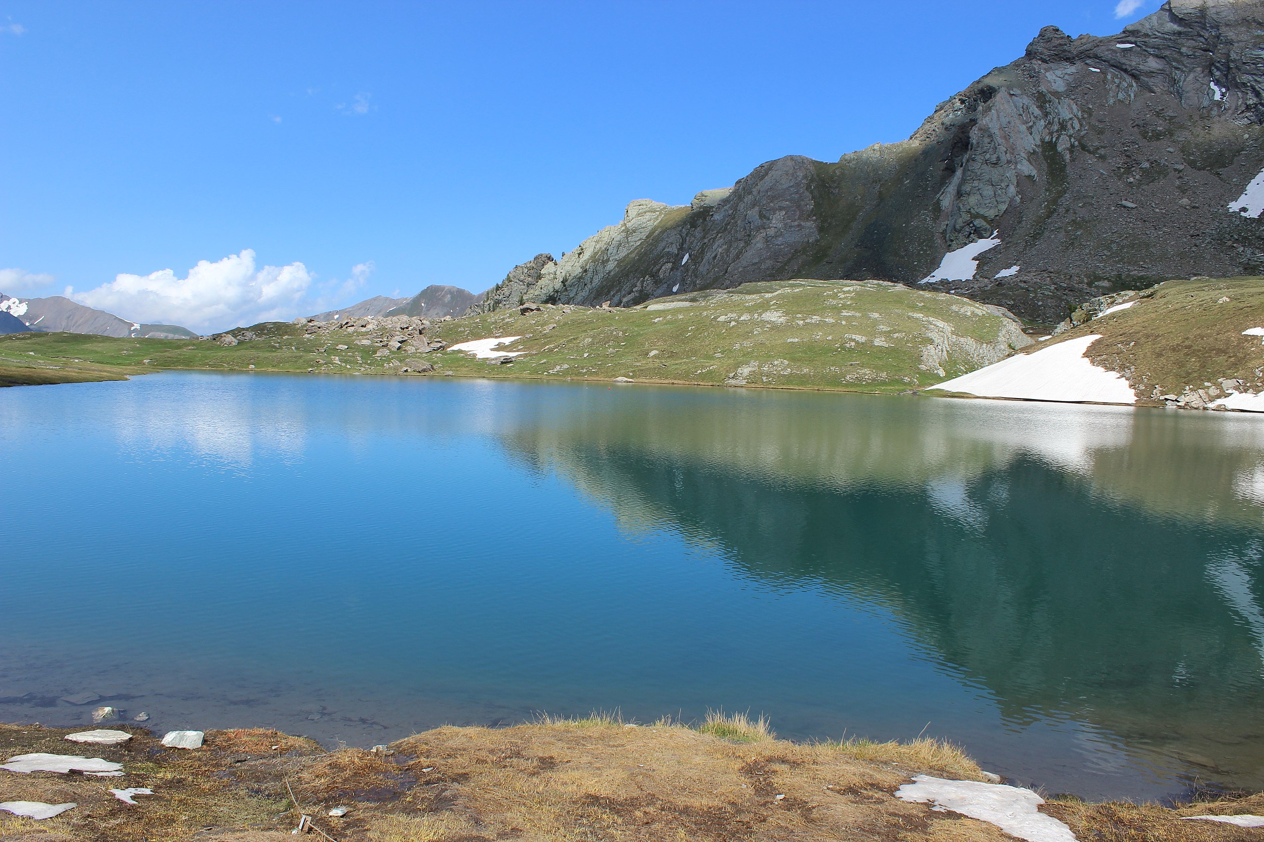
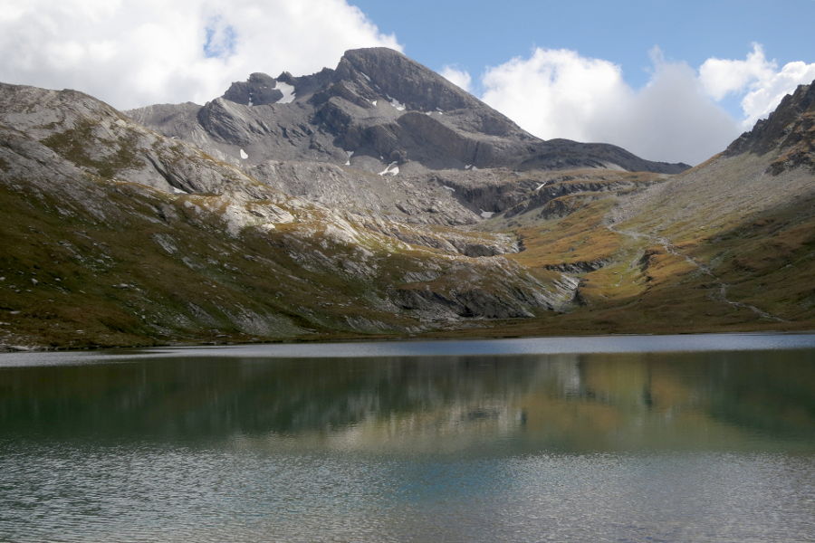
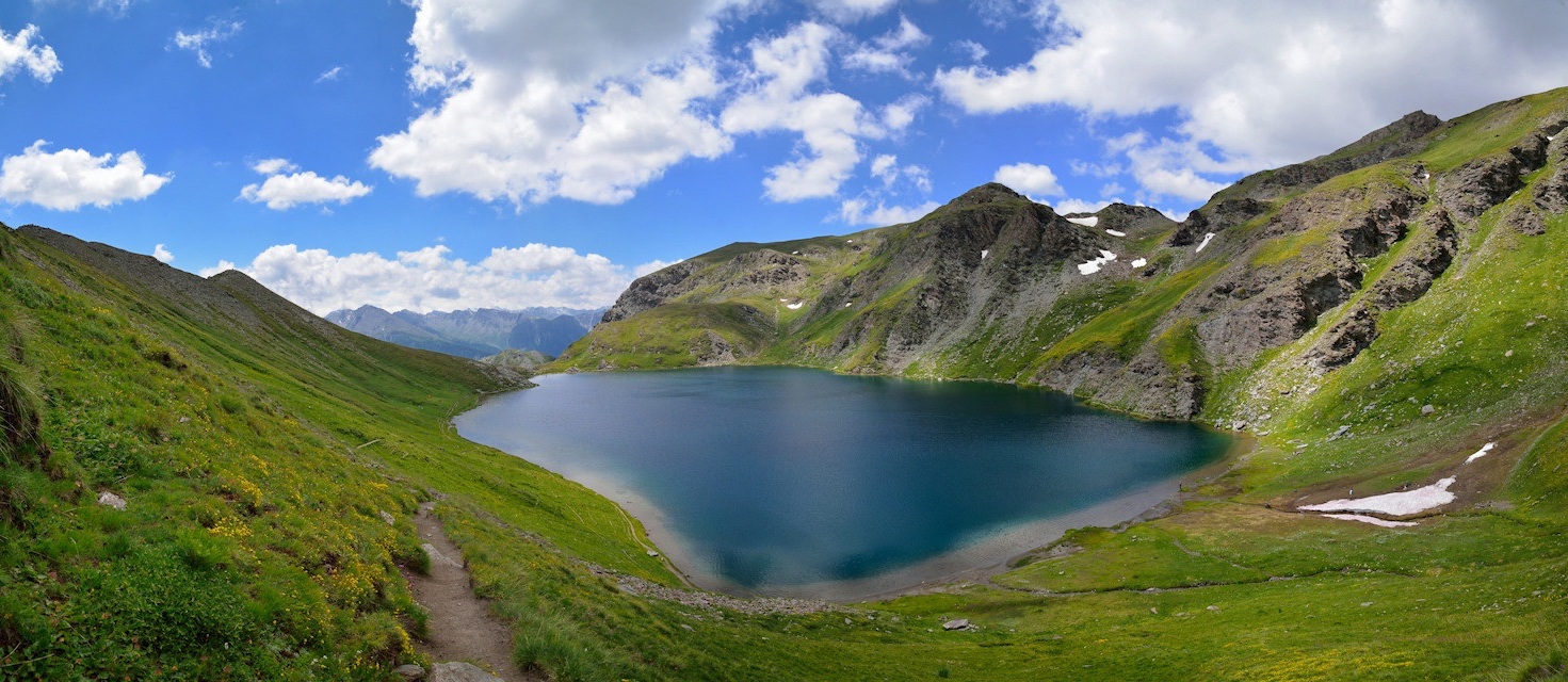
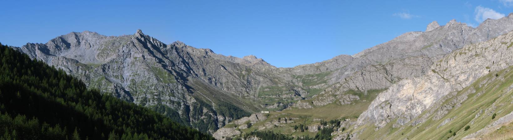
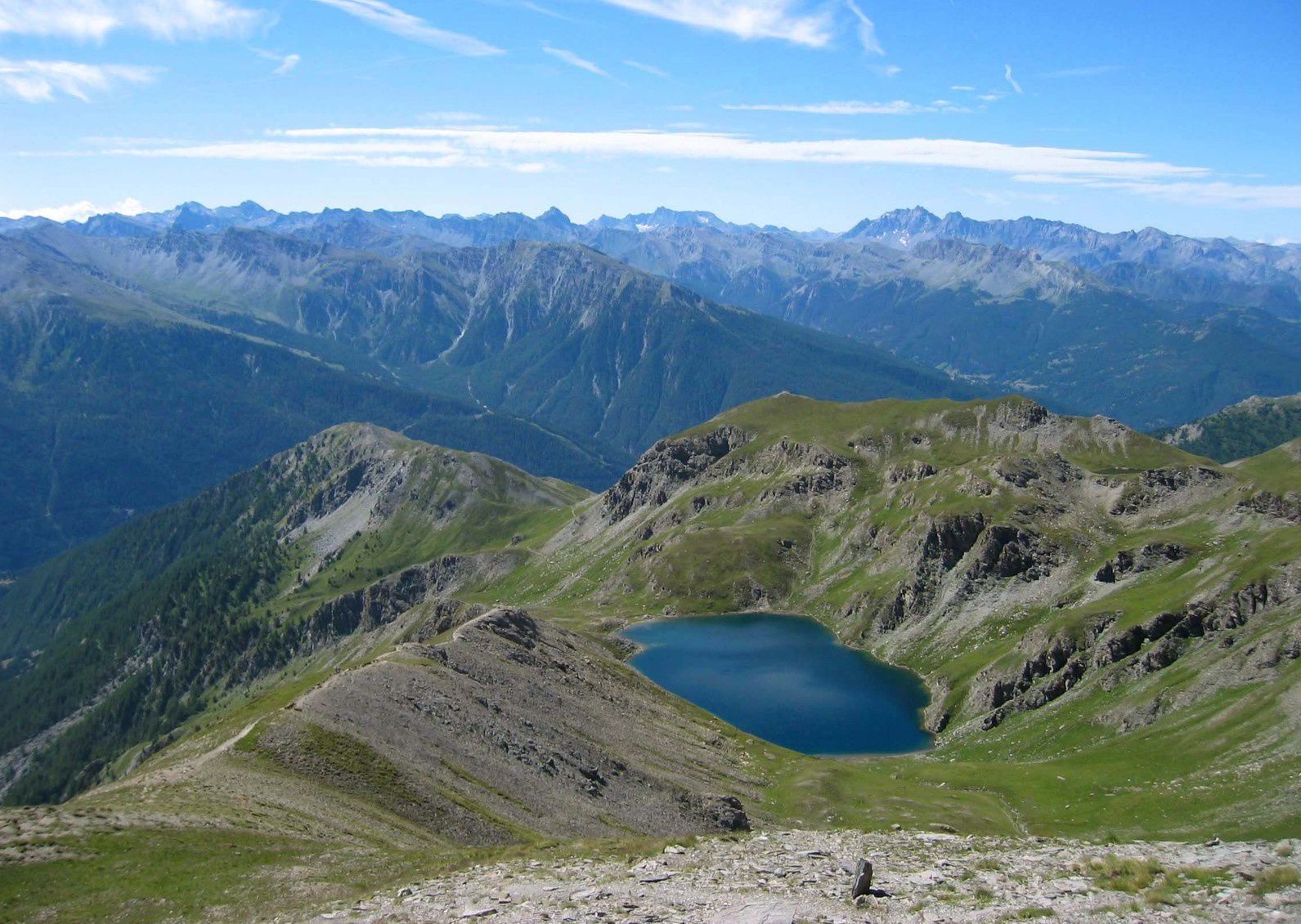
Departing from Ristolas, round trip to the beautiful Étang du Moussou. The climb offers a view of Ristolas and its valley as well as the Col Lacroix and the Pic de Maloquestre. The path crosses pretty mountain pastures.

Already more than 200,000 users!
Uphill
314m
Highest point
1920m
Downhill
314m
Lowest point
1602m
Route type
There and back
Download the map on your smartphone to save battery and rest assured to always keep access to the route, even without signal.
Includes IGN France and Swisstopo.
I indicate whether dogs are allowed or prohibited on this trail
From May to October
0 ratings
Also enjoy:

Already more than 200,000 users!