Uphill
853m
Length
10km
Duration
6h
Elev gain
853m
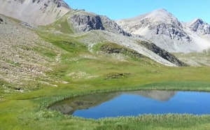
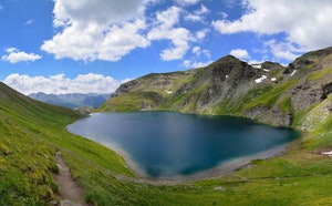
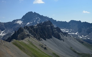
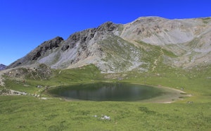
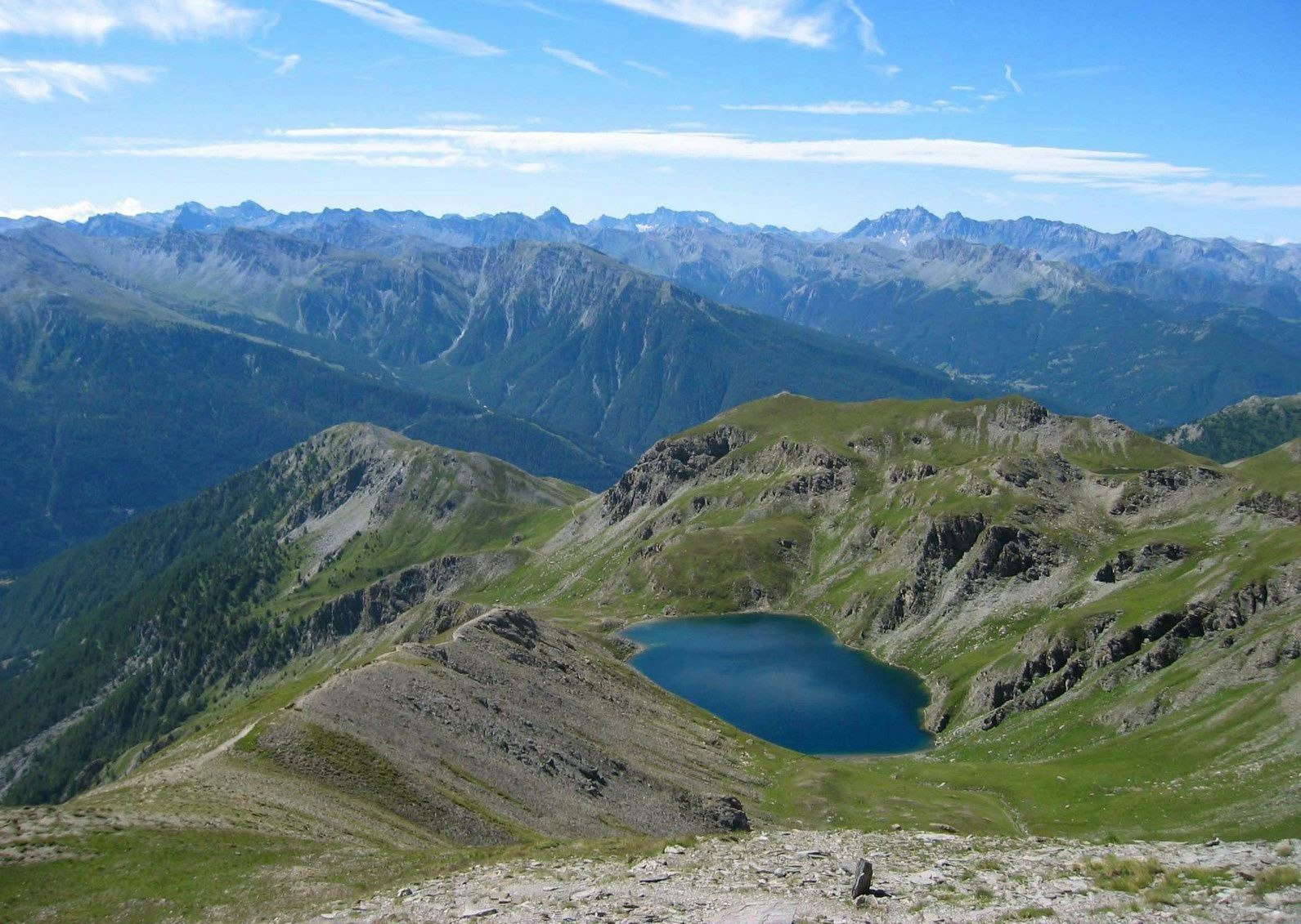
Starting from the small hamlet of Les Fonds, this hike follows the GR58 Tour du Queyras trail and runs along the Pierre Rouge torrent. At 2,830m, a first pass is reached where one can observe one of the Malrif lakes. The Pic du Malrif culminates at 2,906m.

Already more than 200,000 users!
Uphill
853m
Highest point
2912m
Downhill
853m
Lowest point
2054m
Route type
There and back
Download the map on your smartphone to save battery and rest assured to always keep access to the route, even without signal.
Includes IGN France and Swisstopo.
I indicate whether dogs are allowed or prohibited on this trail
From June to September
1 rating
L’une des sections du GR58 les plus impressionnantes avec les lacs à différents niveau d’altitude.
Also enjoy:

Already more than 200,000 users!