Uphill
1185m
France > Provence-Alpes-Côte d'Azur > Hautes-Alpes > Queyras Regional Natural Park
Length
15km
Duration
8h
Elev gain
1185m
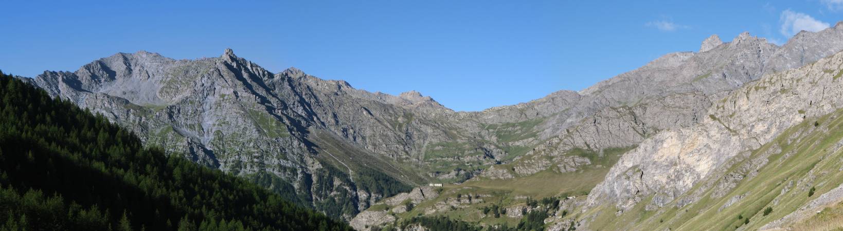
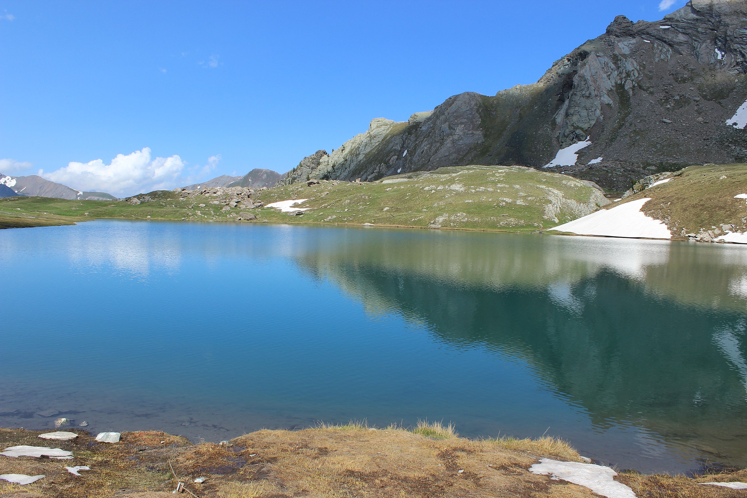
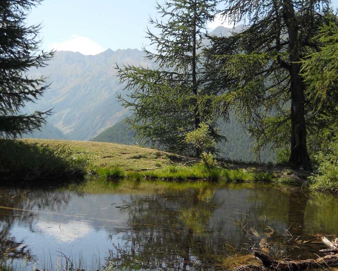
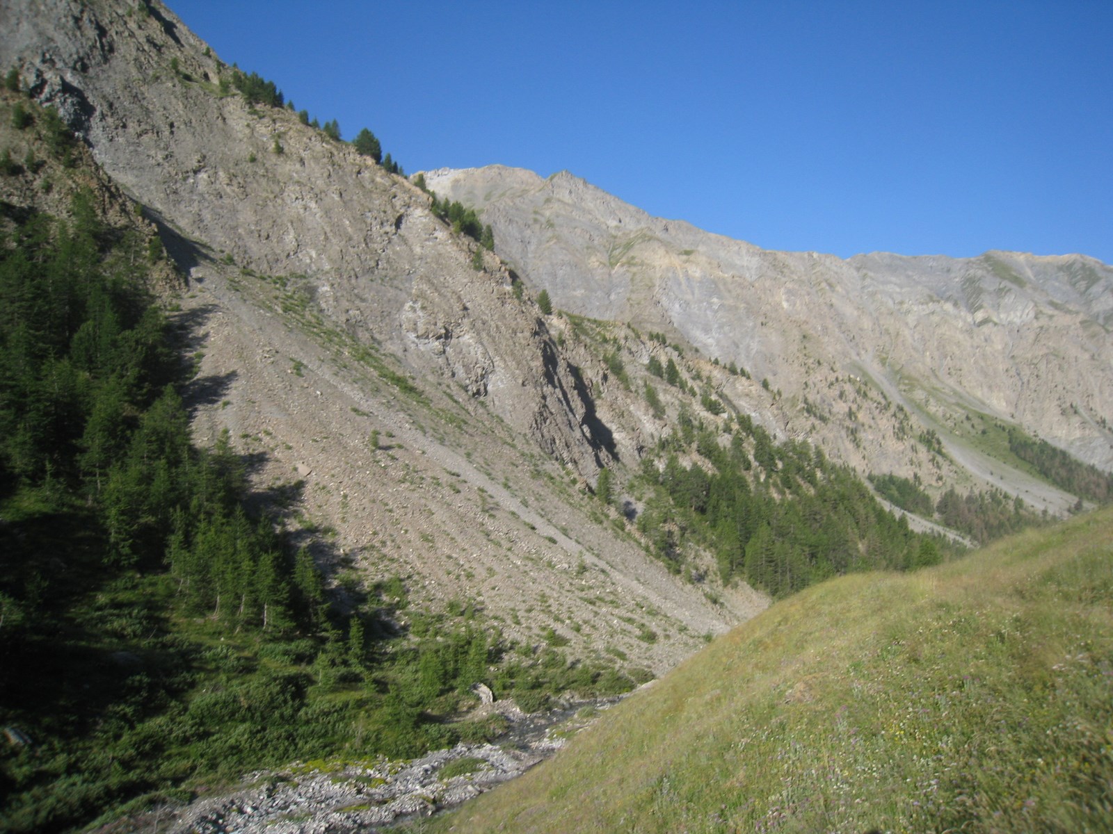
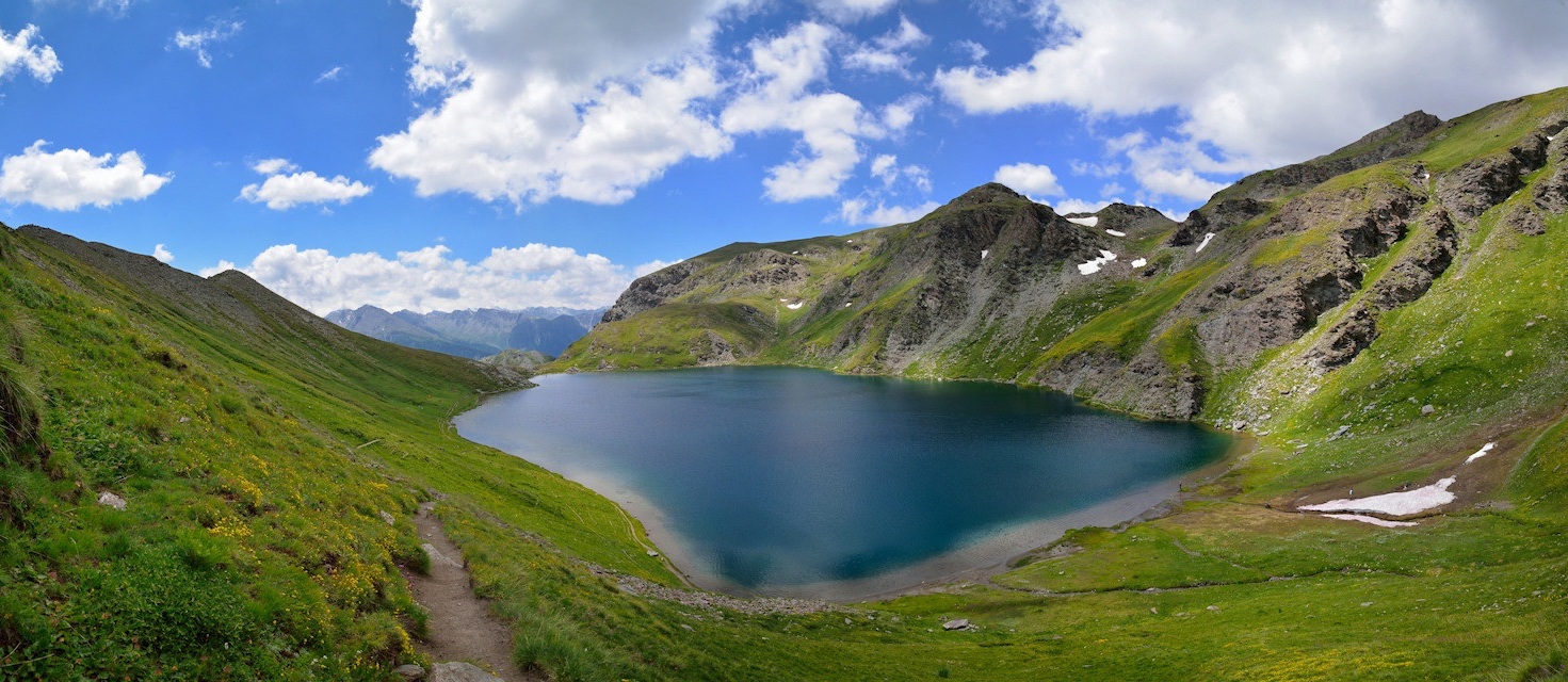
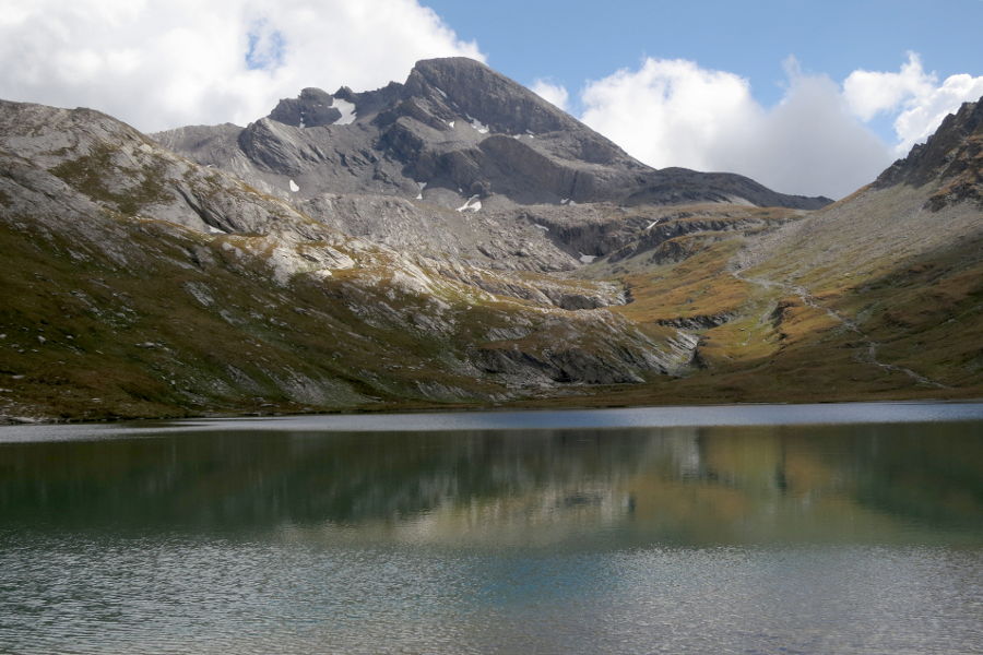
Large loop bringing together the Pic de Foréant, the lake of Égorgeou and the Pain de Suce. From the latter, superb view of Queyras and Mont Viso.

Already more than 200,000 users!
Uphill
1185m
Highest point
3120m
Downhill
1185m
Lowest point
2388m
Route type
Loop
Download the map on your smartphone to save battery and rest assured to always keep access to the route, even without signal.
Includes IGN France and Swisstopo.
I indicate whether dogs are allowed or prohibited on this trail
From June to September
0 ratings
Also enjoy:

Already more than 200,000 users!