Uphill
1189m
France > Provence-Alpes-Côte d'Azur > Hautes-Alpes > Queyras Regional Natural Park
Length
15km
Duration
8h
Elev gain
1189m
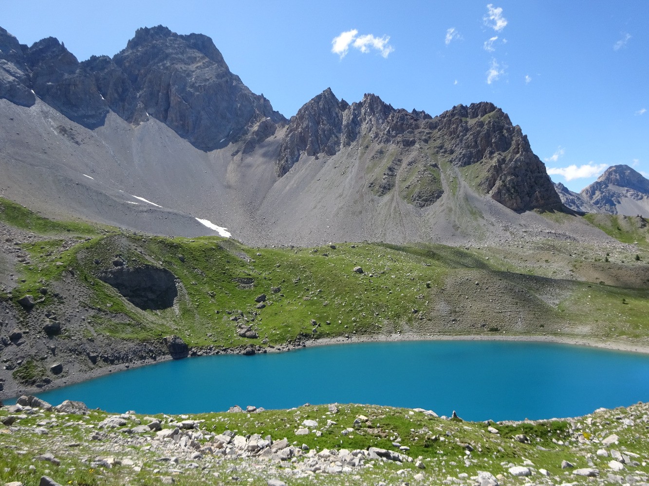
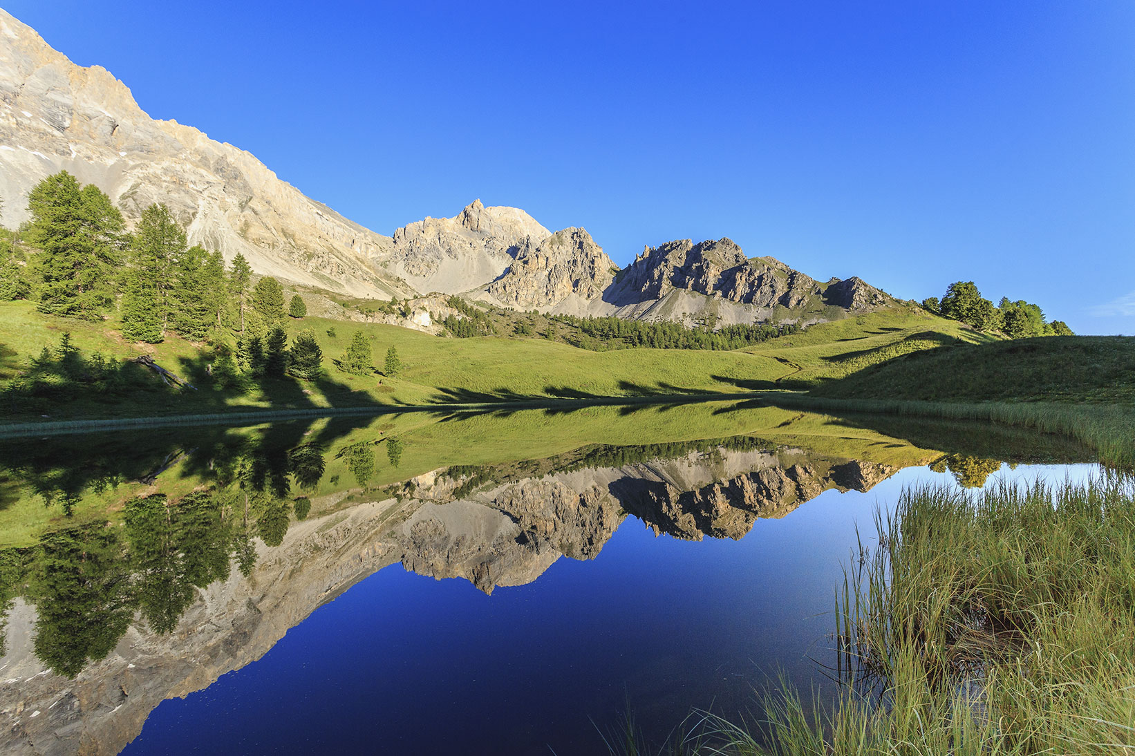
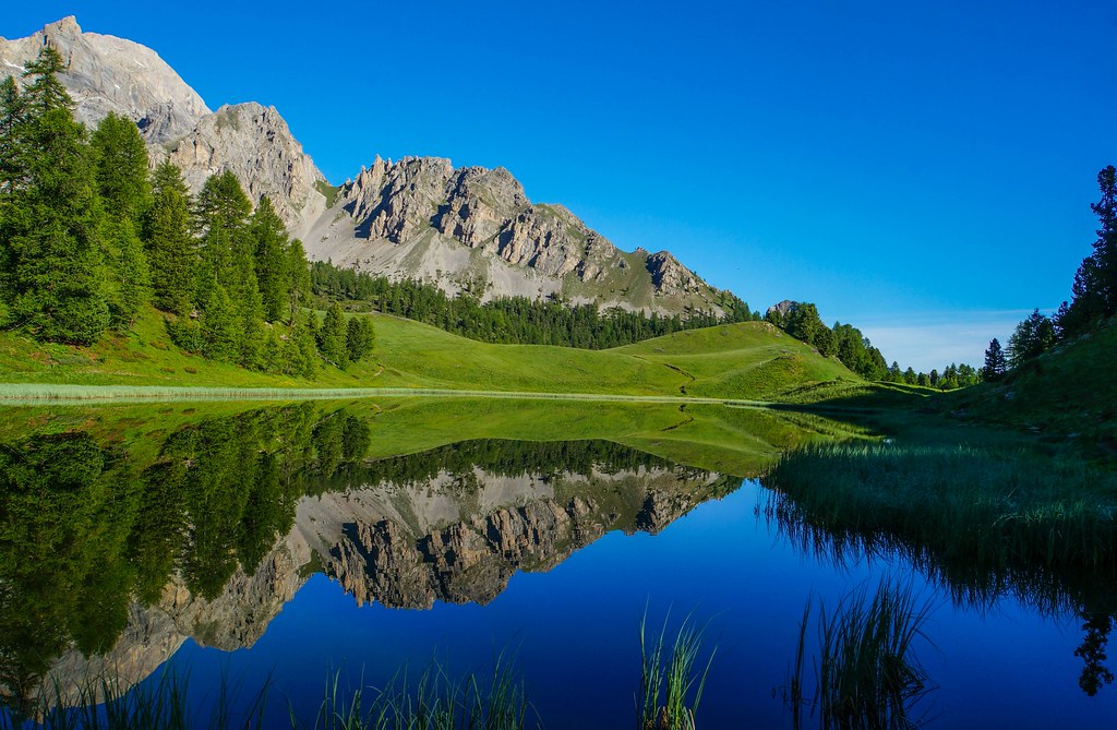
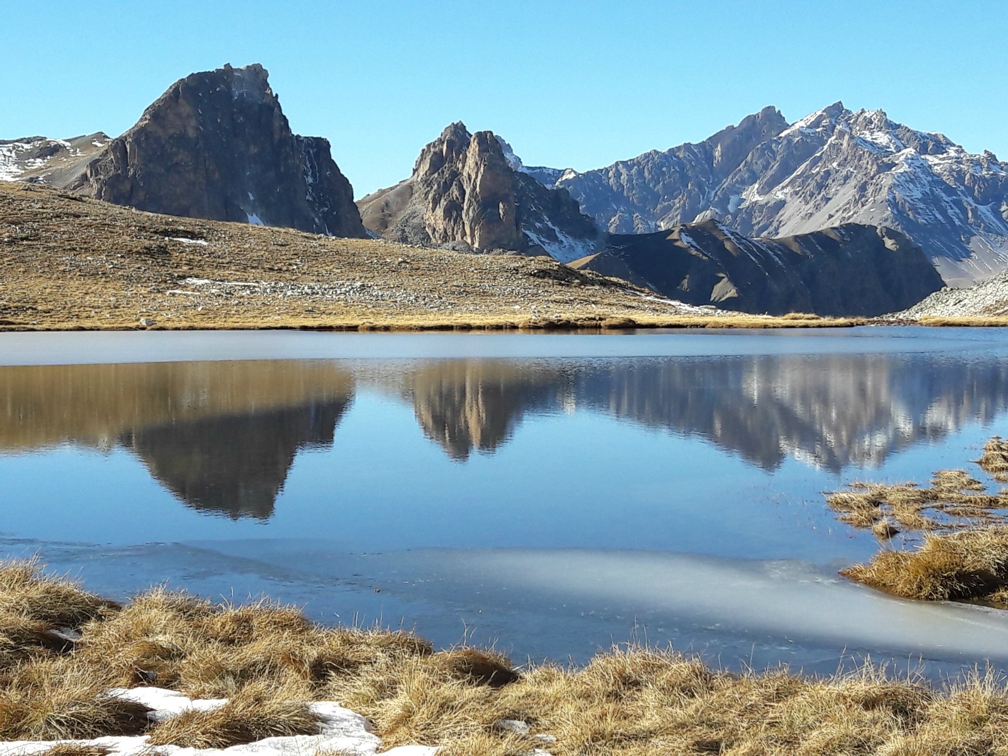
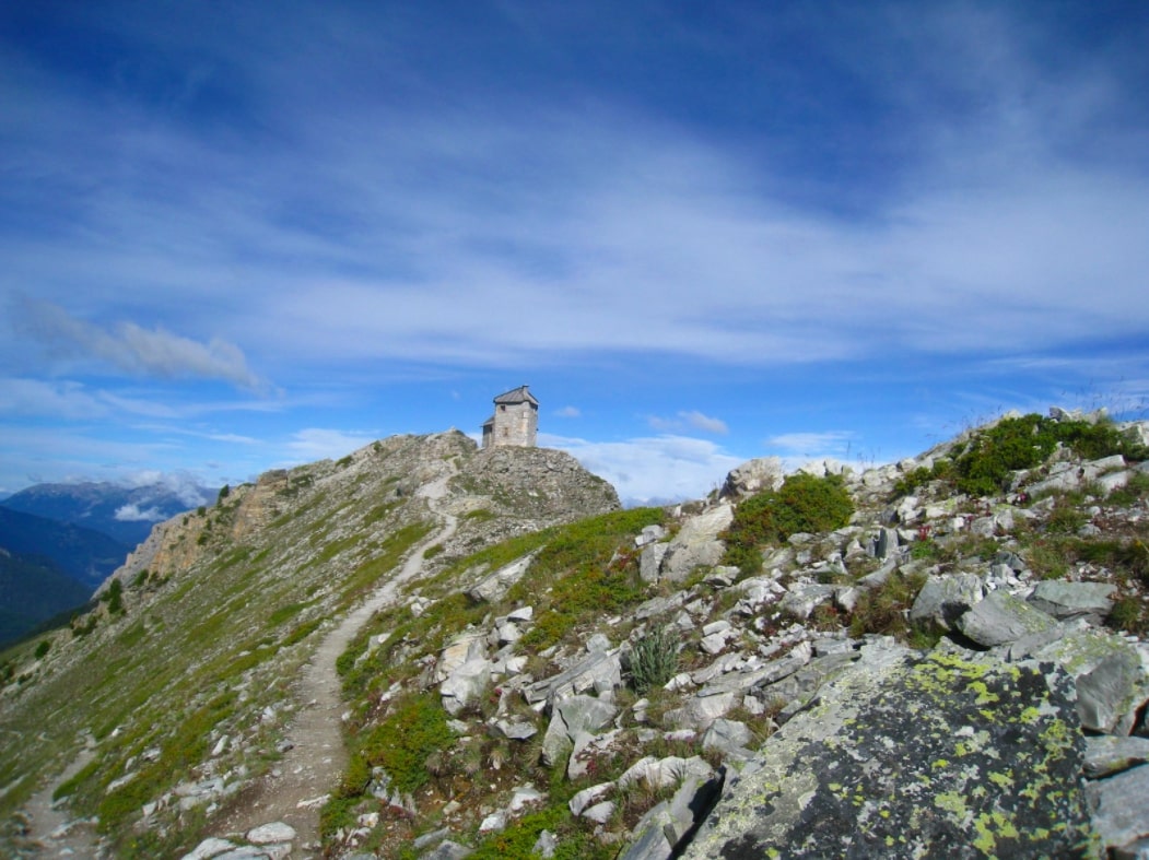
Round trip to the summit of 3121 m, via the Cristillan valley.

Already more than 200,000 users!
Uphill
1189m
Highest point
3100m
Downhill
1189m
Lowest point
2040m
Route type
Loop
Download the map on your smartphone to save battery and rest assured to always keep access to the route, even without signal.
Includes IGN France and Swisstopo.
I indicate whether dogs are allowed or prohibited on this trail
From June to September
0 ratings
Also enjoy:

Already more than 200,000 users!