Uphill
918m
France > Provence-Alpes-Côte d'Azur > Hautes-Alpes > Queyras Regional Natural Park
Length
12km
Duration
6h30min
Elev gain
918m
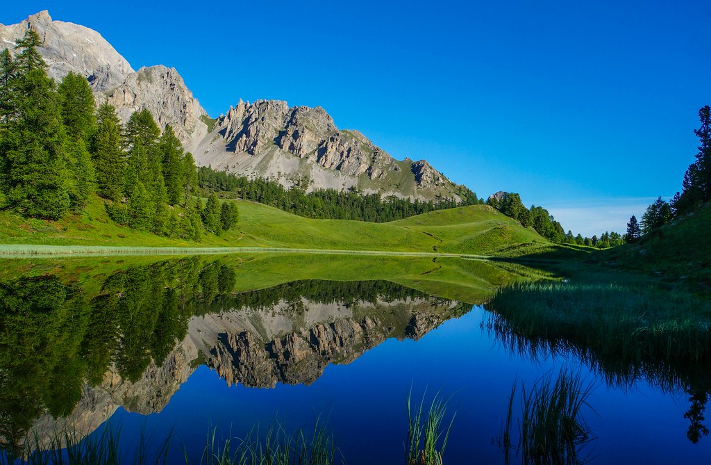
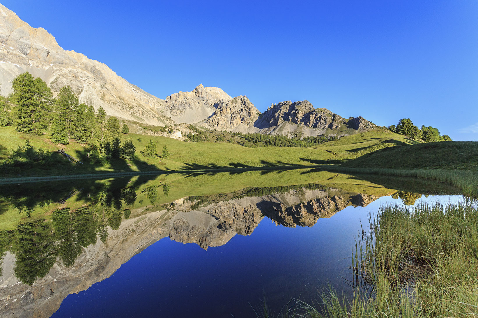
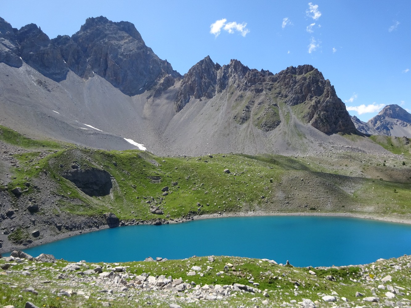
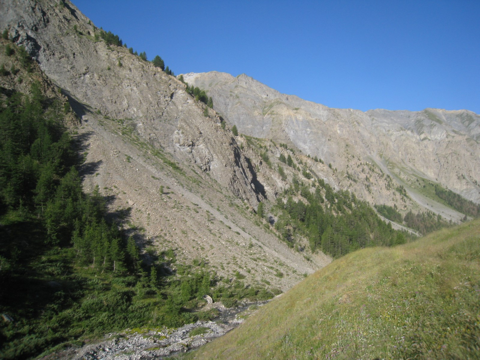
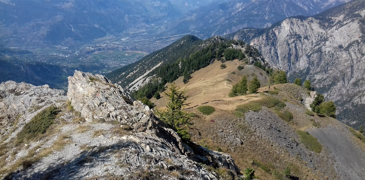
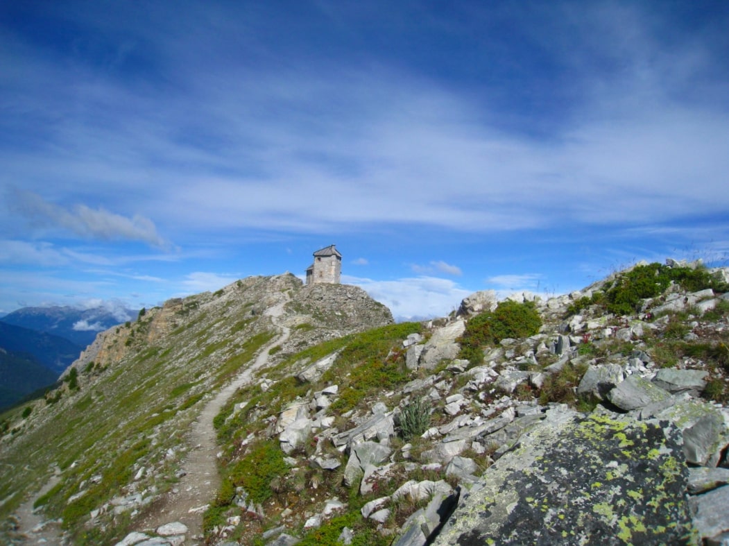
Loop hike from Ceillac. The route passes through the Col de Bramousse located at an altitude of 2,251 metres and the old optical post. This post was built in 1900 by the army and made it possible to transmit optical messages at high speed.

Already more than 200,000 users!
Uphill
918m
Highest point
2555m
Downhill
918m
Lowest point
1665m
Route type
Loop
Download the map on your smartphone to save battery and rest assured to always keep access to the route, even without signal.
Includes IGN France and Swisstopo.
I indicate whether dogs are allowed or prohibited on this trail
From June to September
0 ratings
Also enjoy:

Already more than 200,000 users!