Uphill
665m
France > Provence-Alpes-Côte d'Azur > Hautes-Alpes > Queyras Regional Natural Park
Length
7km
Duration
4h30min
Elev gain
665m
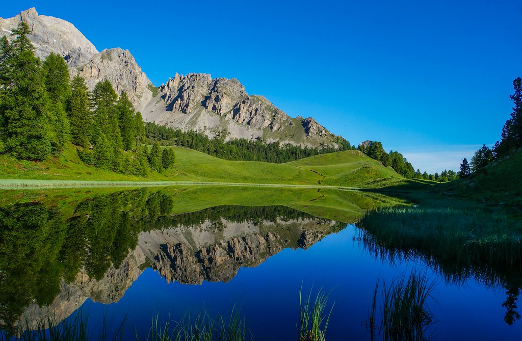
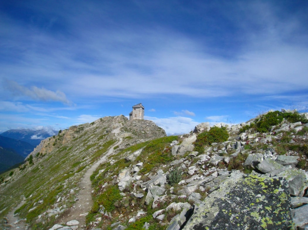
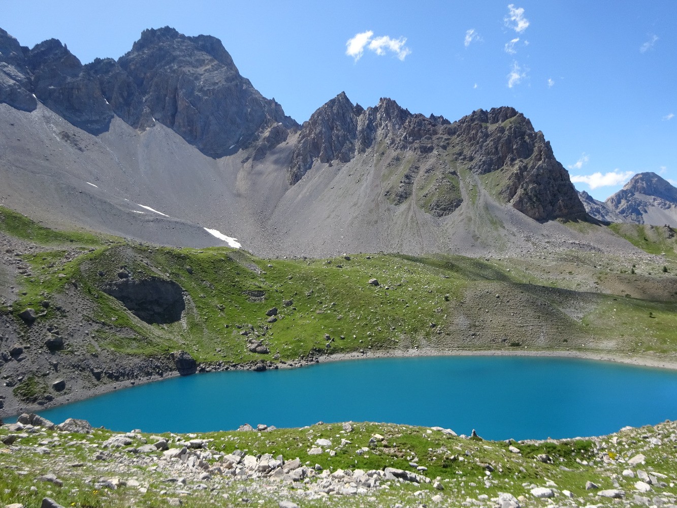
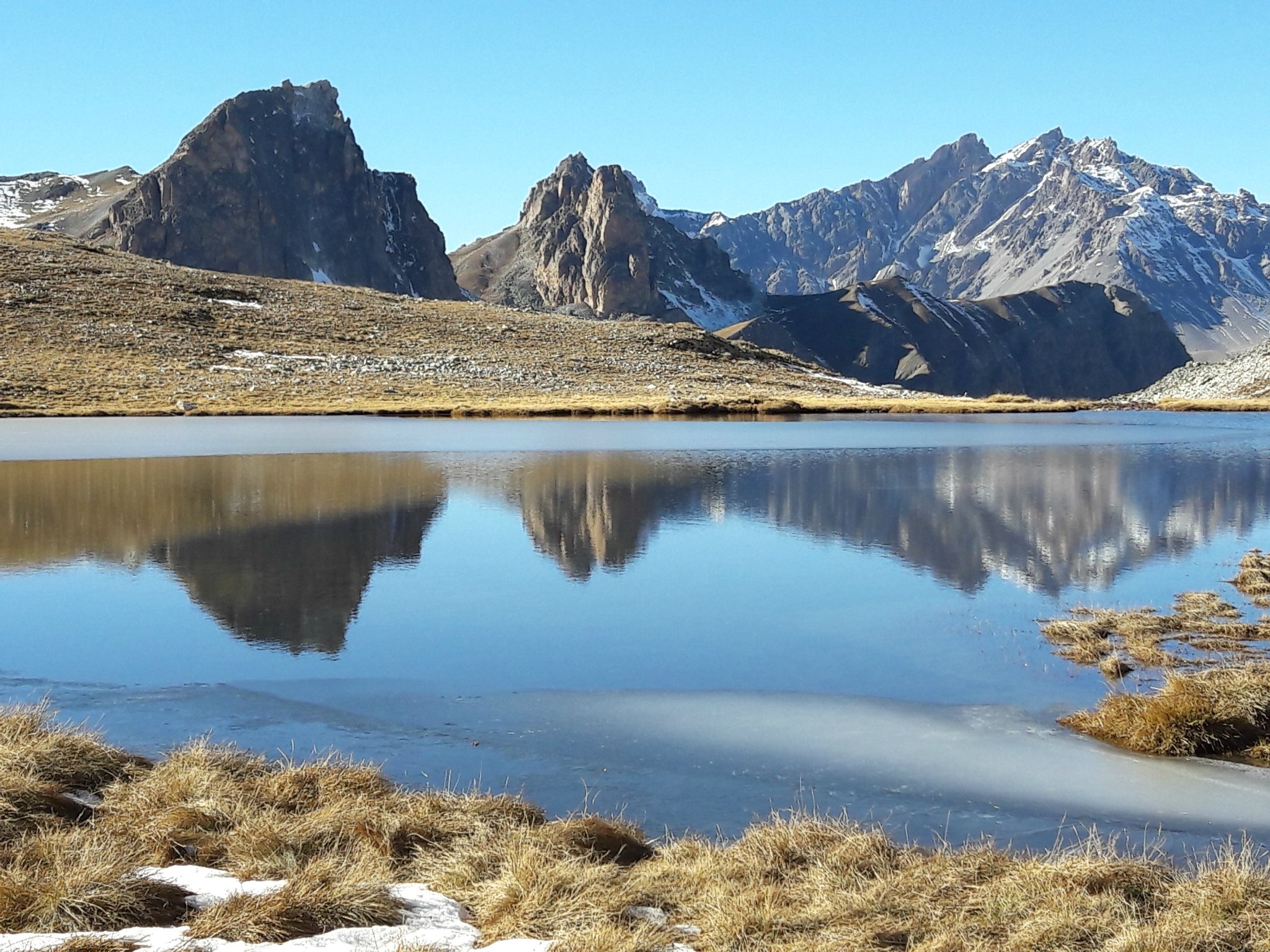
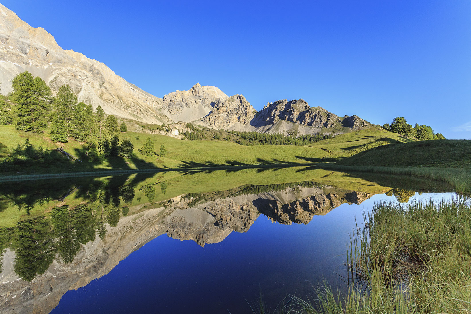
Pleasant hike with a view of the Cascade de la Pisse. The ascent ends up on the magnificent Lac du Miroir where it is possible to bivouac on sunny days. Please note, this hike is very busy in high season.

Already more than 200,000 users!
Uphill
665m
Highest point
2225m
Downhill
665m
Lowest point
1672m
Route type
Loop
Download the map on your smartphone to save battery and rest assured to always keep access to the route, even without signal.
Includes IGN France and Swisstopo.
2 ratings
Also enjoy:

Already more than 200,000 users!