Uphill
468m
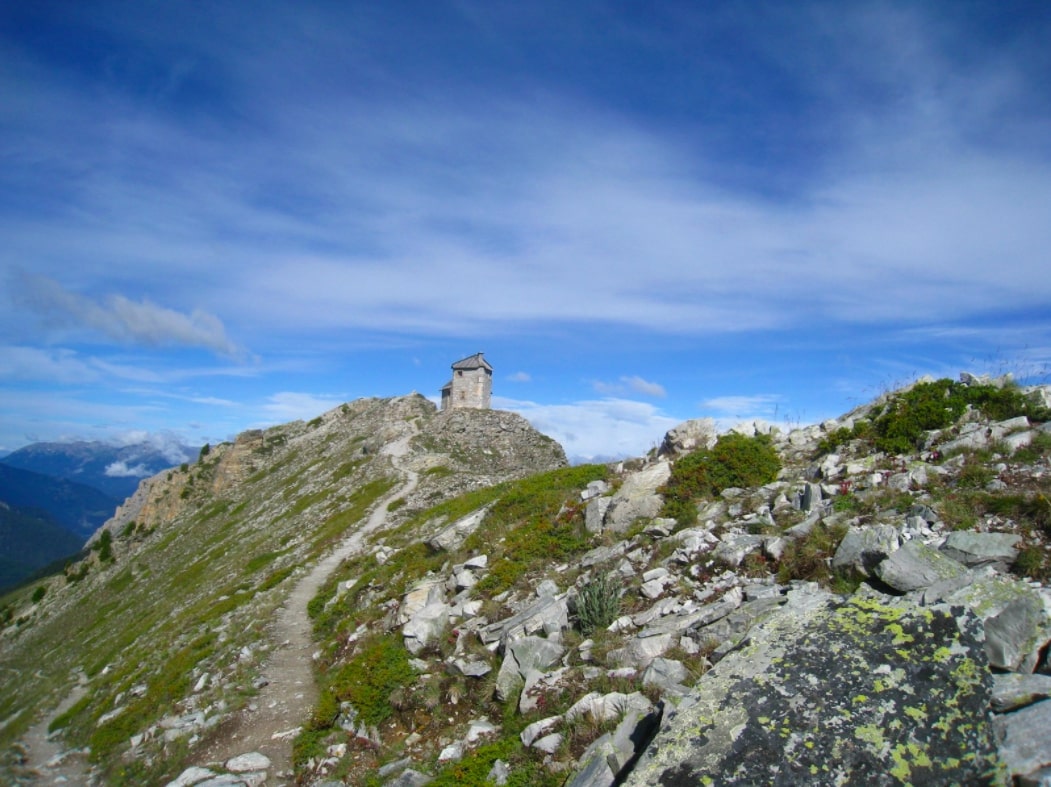
France > Provence-Alpes-Côte d'Azur > Hautes-Alpes > Queyras Regional Natural Park
Length
6km
Duration
3h30min
Elev gain
468m
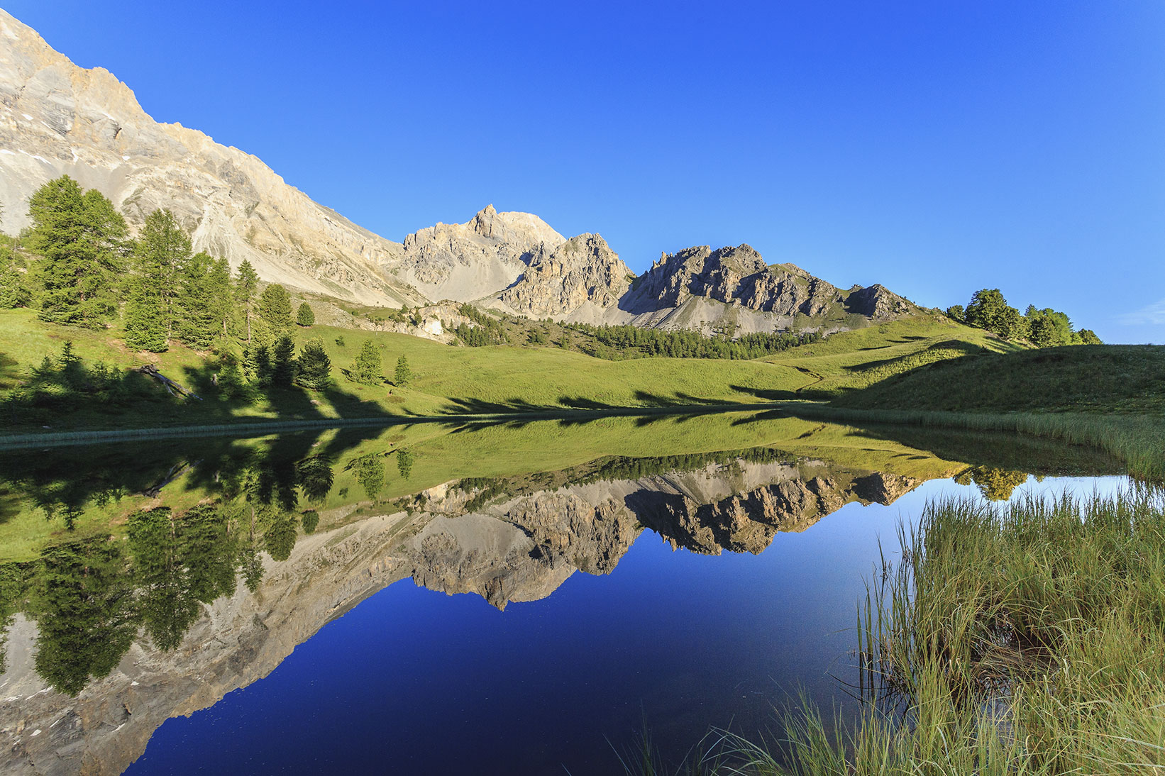
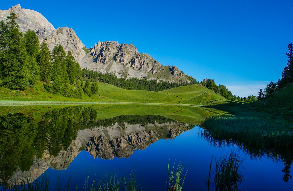
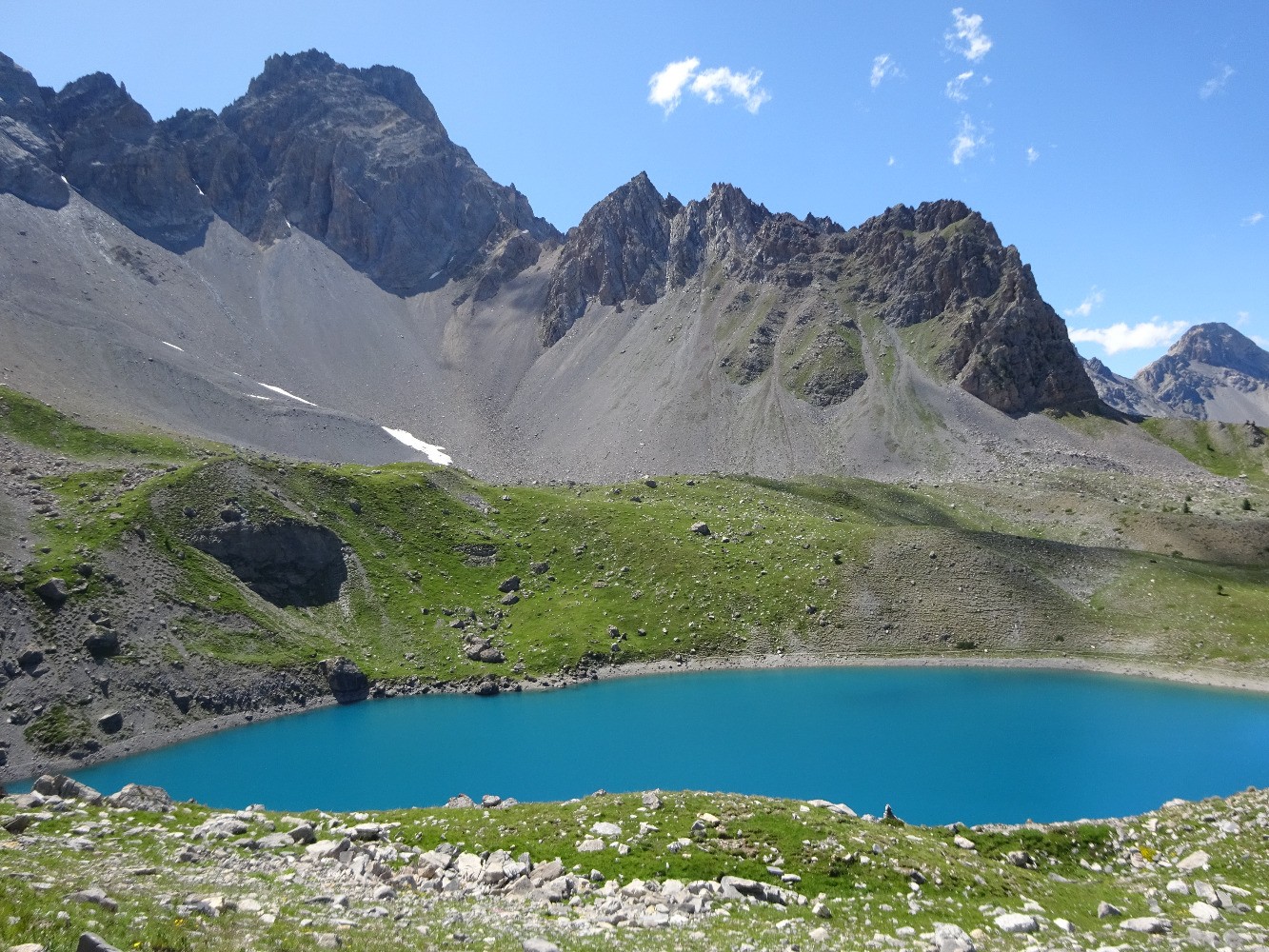
Round trip hike to beautiful Lac Sainte-Anne, at the foot of Col Girardin.

Already more than 200,000 users!
Uphill
468m
Highest point
2407m
Downhill
468m
Lowest point
1965m
Route type
There and back
Download the map on your smartphone to save battery and rest assured to always keep access to the route, even without signal.
Includes IGN France and Swisstopo.
I indicate whether dogs are allowed or prohibited on this trail
From June to September
3 ratings
Also enjoy:

Already more than 200,000 users!