Uphill
404m

Length
7km
Duration
3h
Elev gain
404m
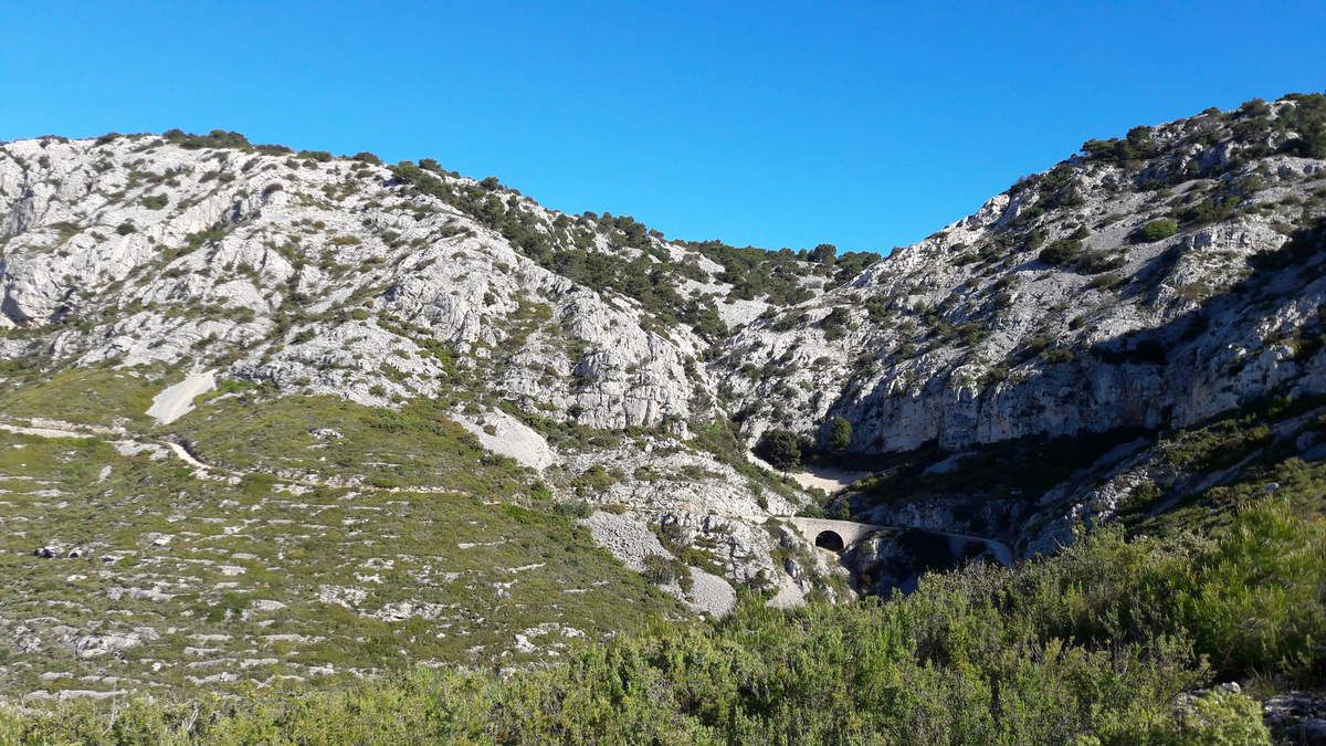
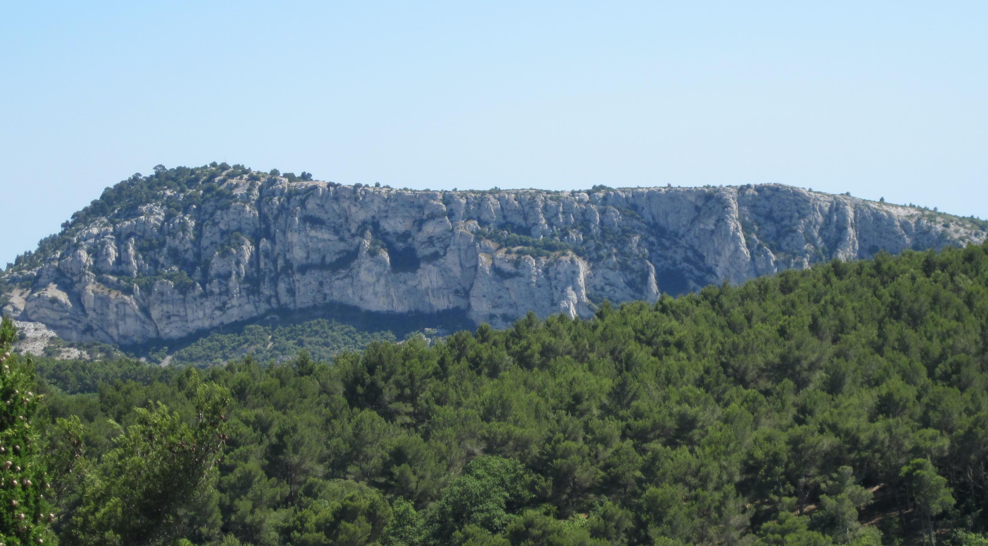
Departing from Revest-les-Eaux, this walk crosses the Tourravelle area before reaching the summit of Mont Combe. Nice panorama over the Toulon hinterland.
The return is via Lake Dardennes.

Already more than 200,000 users!
Uphill
404m
Highest point
411m
Downhill
404m
Lowest point
92m
Route type
Loop
Download the map on your smartphone to save battery and rest assured to always keep access to the route, even without signal.
Includes IGN France and Swisstopo.
I indicate whether dogs are allowed or prohibited on this trail
All year
1 rating
Also enjoy:

Already more than 200,000 users!