Uphill
307m

Length
6km
Duration
2h30min
Elev gain
307m
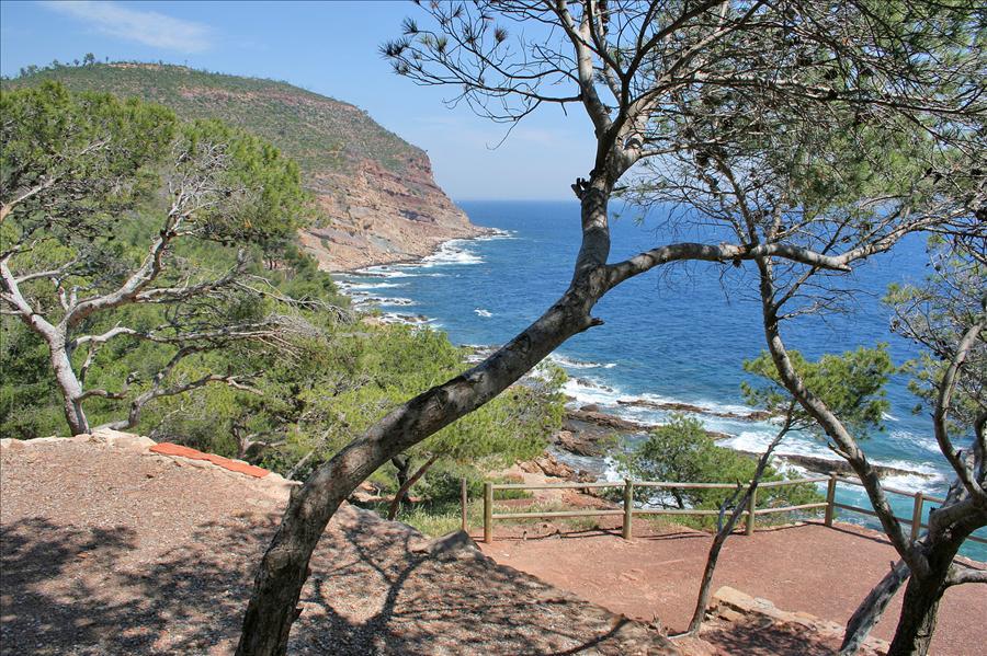
This hike allows you to reach Mont Coudon via the Col des Selves. The path winds through pretty undergrowth, before offering a magnificent panorama over the harbor of Toulon and Porquerolles.
Note that the summit itself is militarized and inaccessible to the public.

Already more than 200,000 users!
Uphill
307m
Highest point
640m
Downhill
307m
Lowest point
350m
Route type
Loop
Download the map on your smartphone to save battery and rest assured to always keep access to the route, even without signal.
Includes IGN France and Swisstopo.
0 ratings
Also enjoy:

Already more than 200,000 users!