Uphill
82m
France > Provence-Alpes-Côte d'Azur > Var
Length
1km
Duration
30min
Elev gain
82m
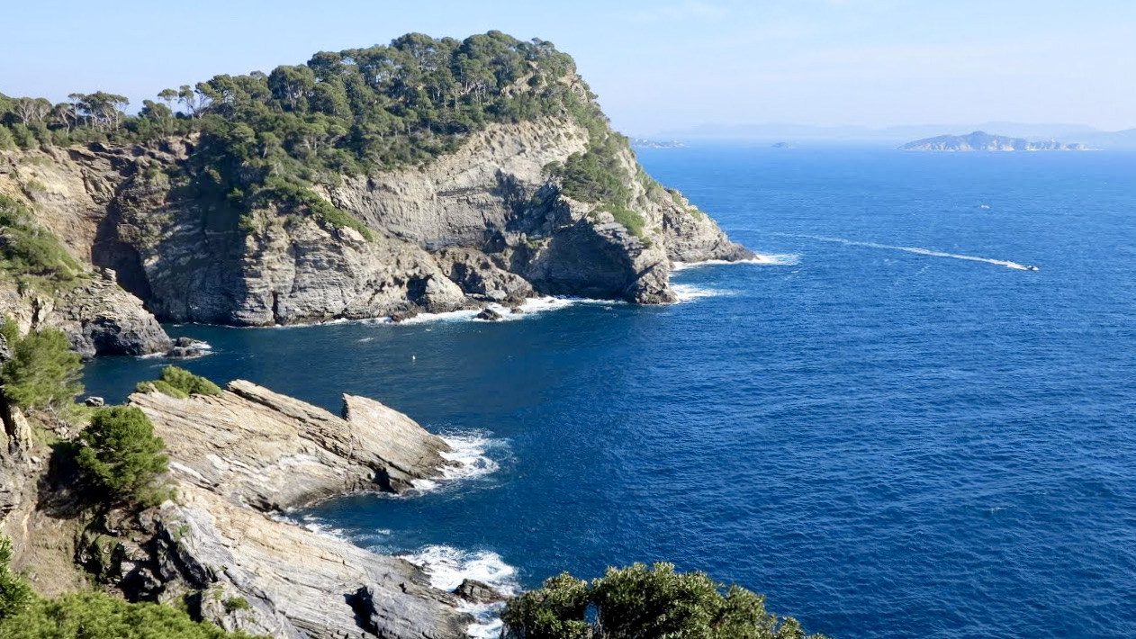
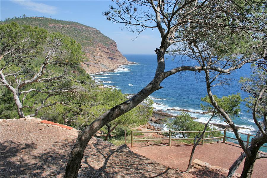
This path, decorated with information panels and orientation tables, allows you to discover the natural and heritage richness of this promontory on the Mediterranean.

Already more than 200,000 users!
Uphill
82m
Highest point
113m
Downhill
82m
Lowest point
74m
Route type
Loop
Download the map on your smartphone to save battery and rest assured to always keep access to the route, even without signal.
Includes IGN France and Swisstopo.
I indicate whether dogs are allowed or prohibited on this trail
All year
1 rating
Also enjoy:

Already more than 200,000 users!