Uphill
539m

Length
13km
Duration
4h30min
Elev gain
539m
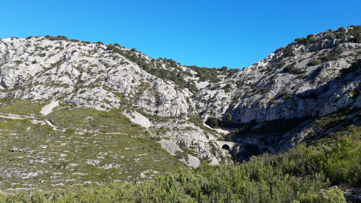
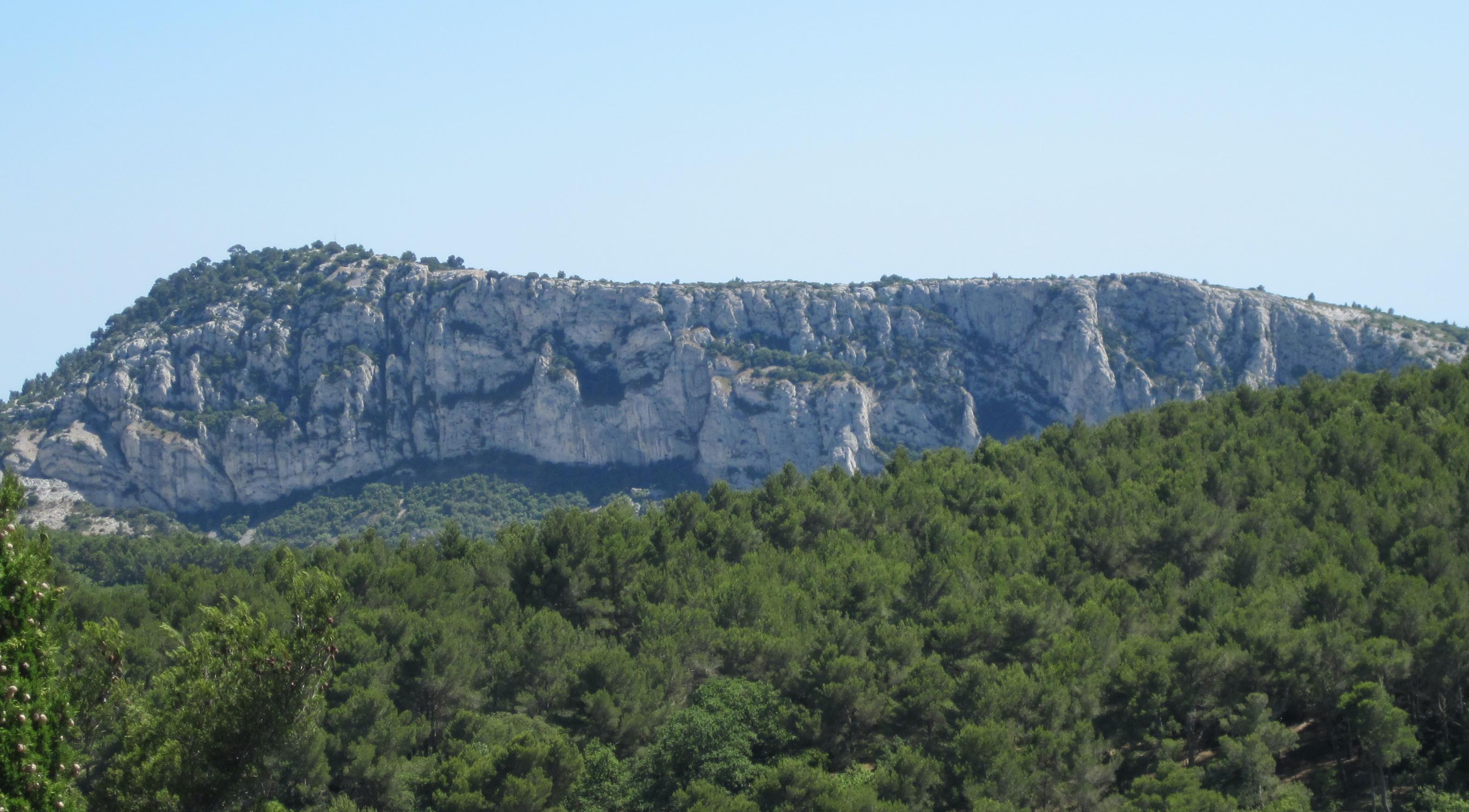
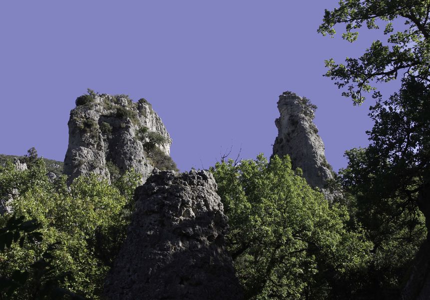
Loop offering pretty views of Toulon and its harbor. Some passages on asphalt road.

Already more than 200,000 users!
Uphill
539m
Highest point
573m
Downhill
539m
Lowest point
170m
Route type
Loop
Download the map on your smartphone to save battery and rest assured to always keep access to the route, even without signal.
Includes IGN France and Swisstopo.
Parking de Faron Citerne.
Gare de Toulon is less than 3 kilometres away.
I indicate whether dogs are allowed or prohibited on this trail
All year
0 ratings
Also enjoy:

Already more than 200,000 users!