Uphill
759m
Length
13km
Duration
5h30min
Elev gain
759m
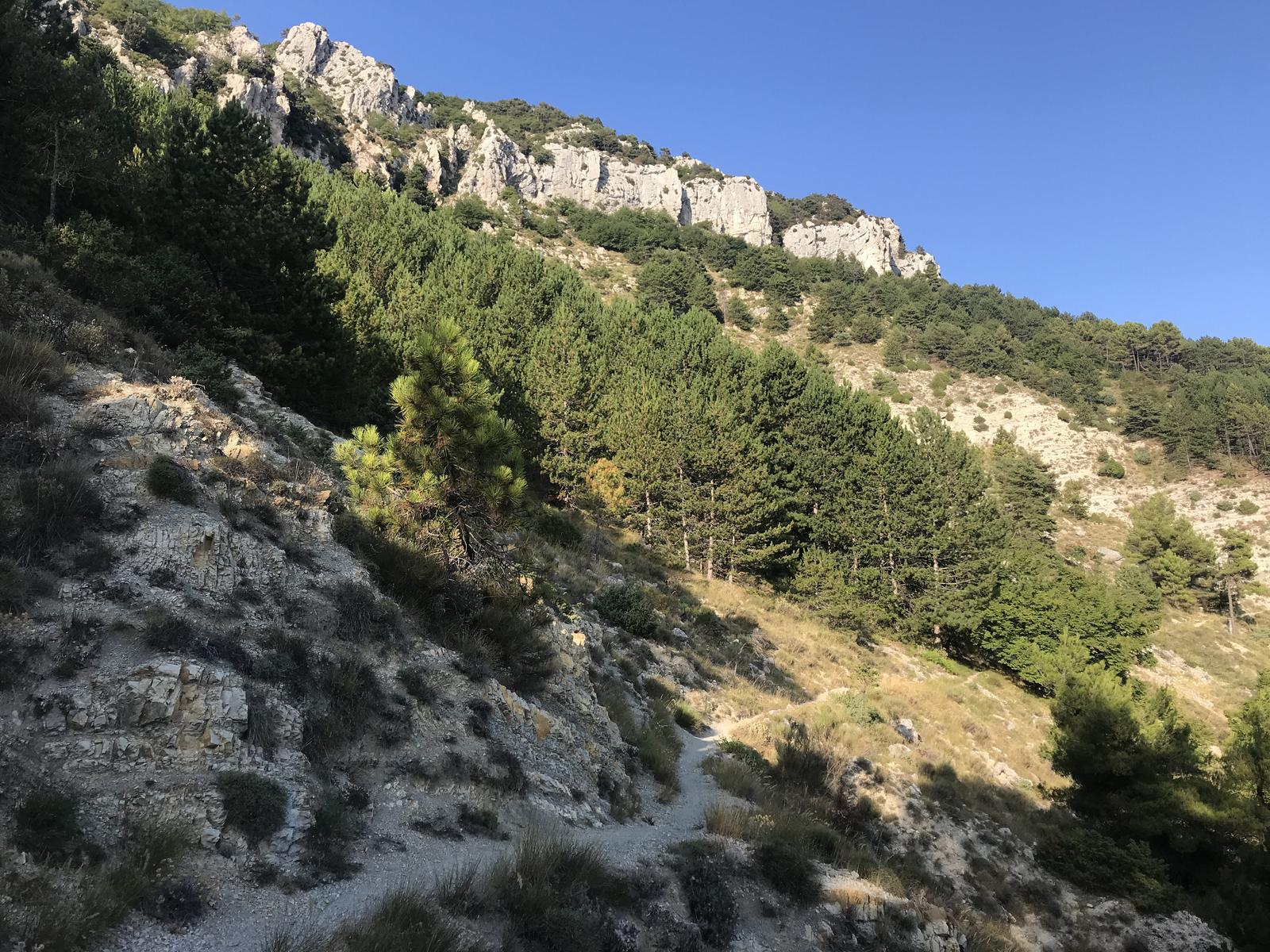
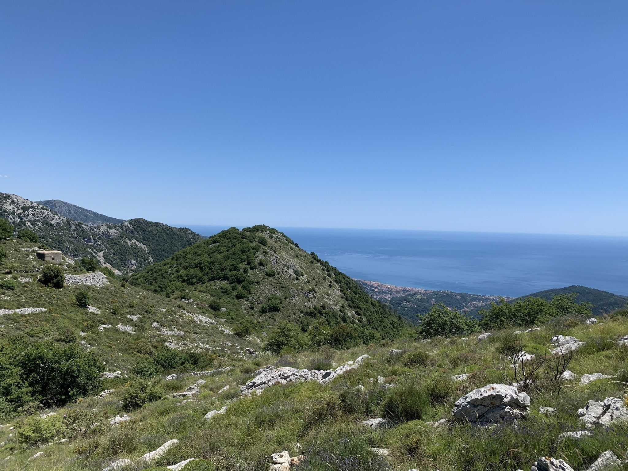
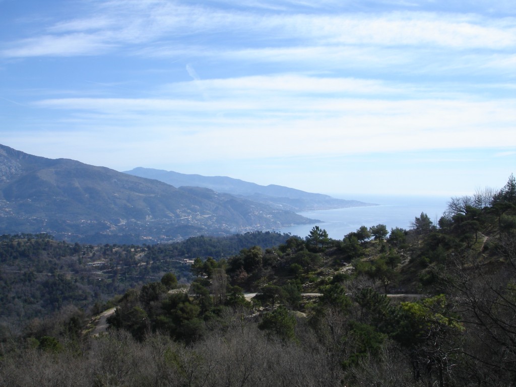
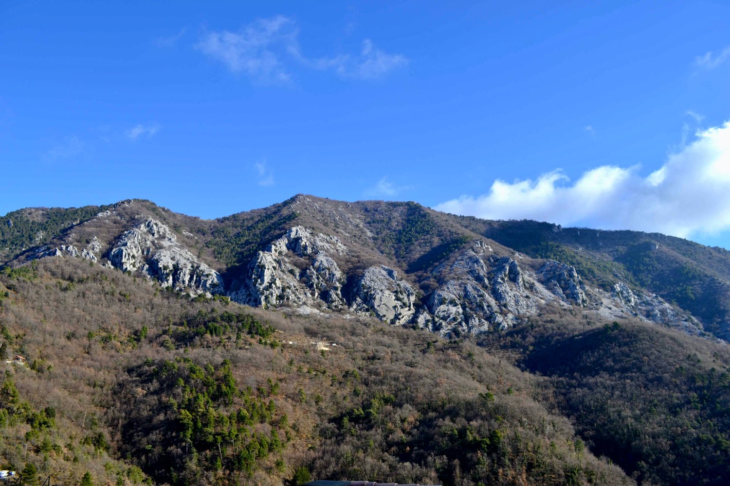
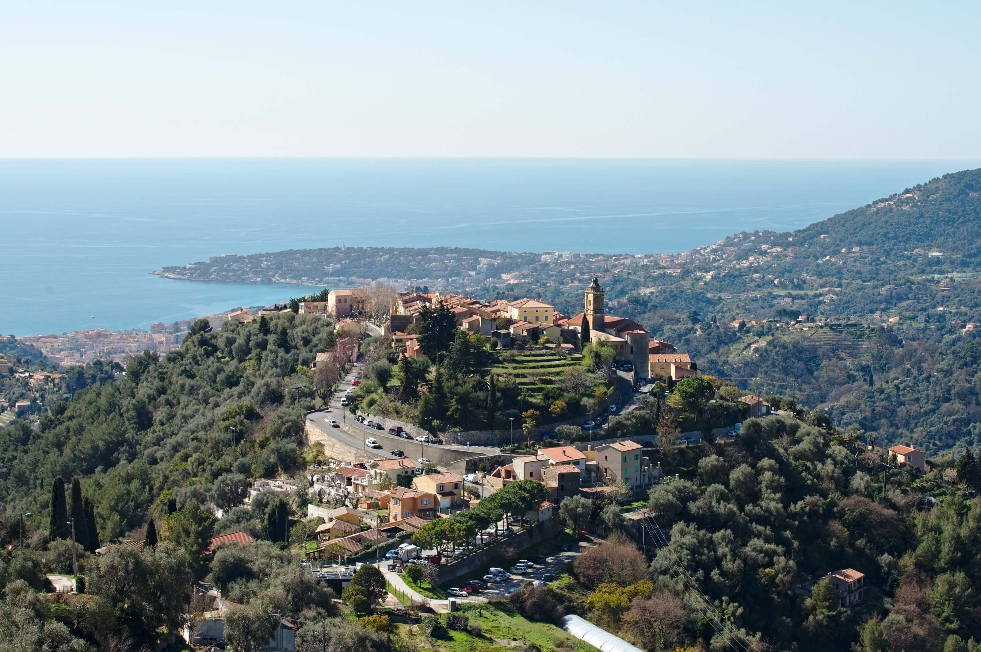
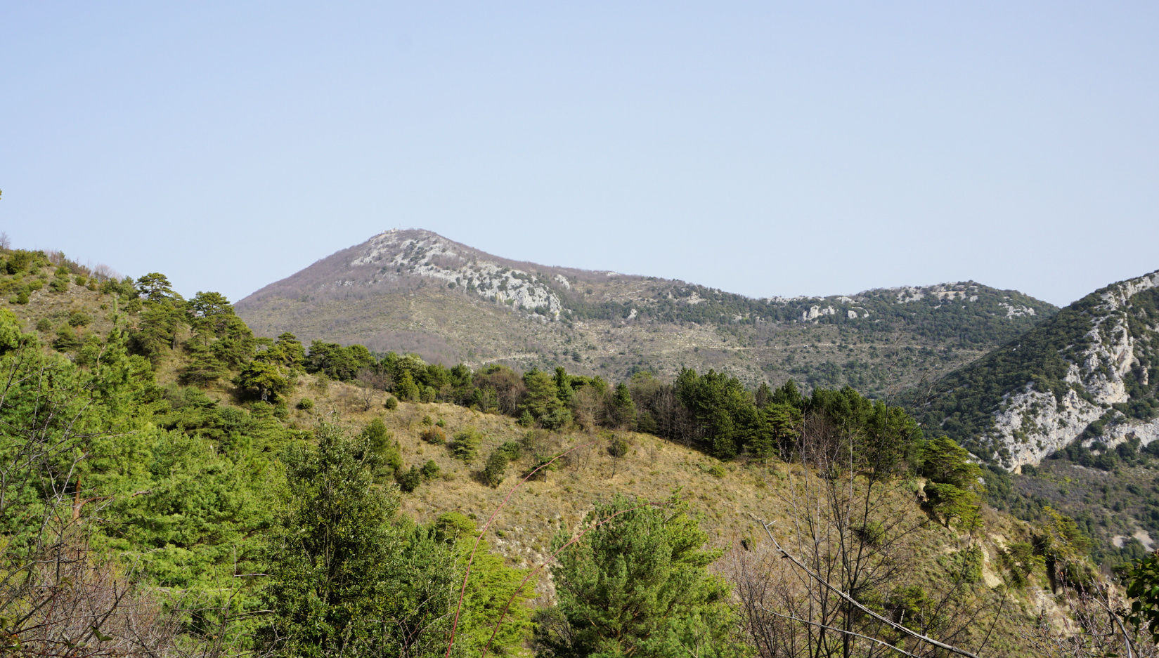
Departing from Sainte-Agnès, this trail leads to Garuche peak then to Mont Ours (1239 m), passing through the Verroux and Banquettes passes.
Pretty views stretching to the sea.

Already more than 200,000 users!
Uphill
759m
Highest point
1223m
Downhill
759m
Lowest point
588m
Route type
Loop
Download the map on your smartphone to save battery and rest assured to always keep access to the route, even without signal.
Includes IGN France and Swisstopo.
I indicate whether dogs are allowed or prohibited on this trail
All year
1 rating
Also enjoy:

Already more than 200,000 users!