Uphill
925m
France > Provence-Alpes-Côte d'Azur > Alpes-Maritimes
Length
9km
Duration
6h
Elev gain
925m
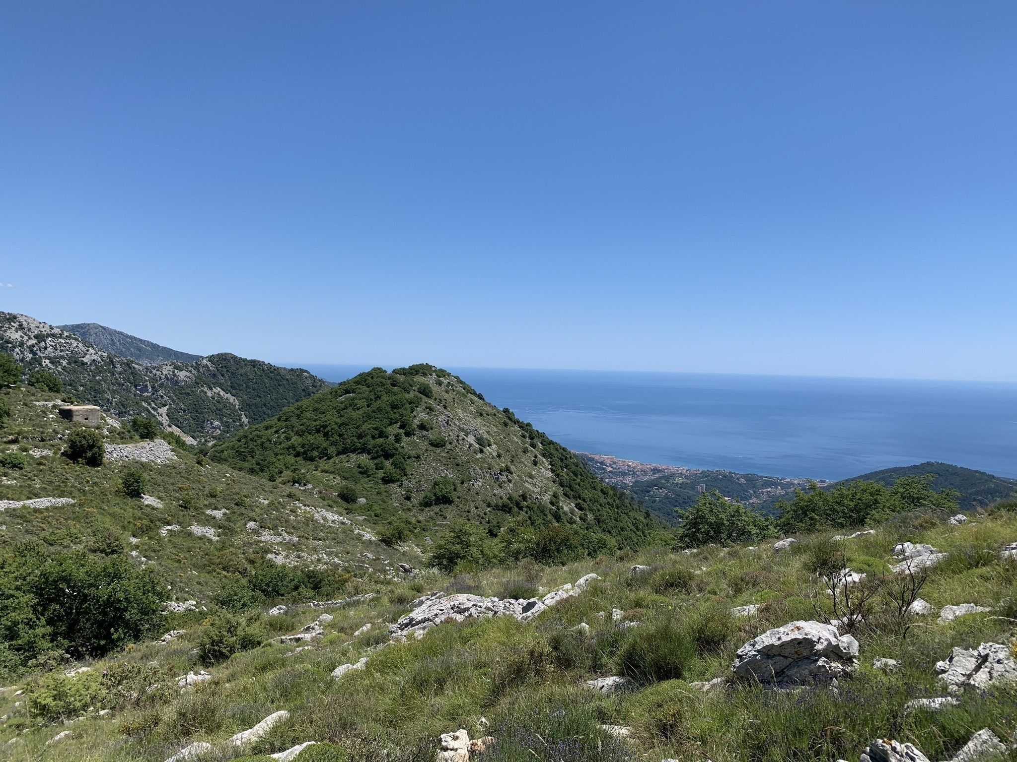
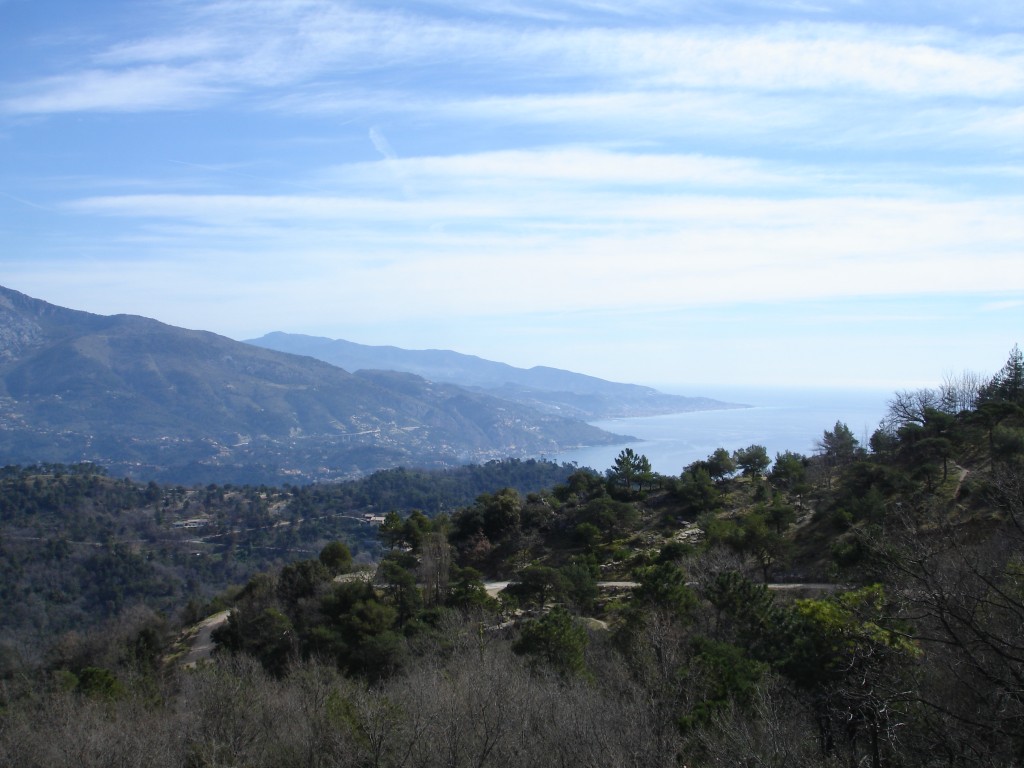
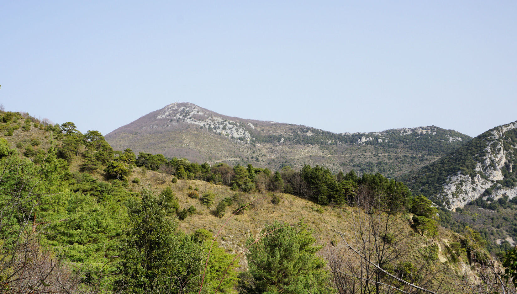
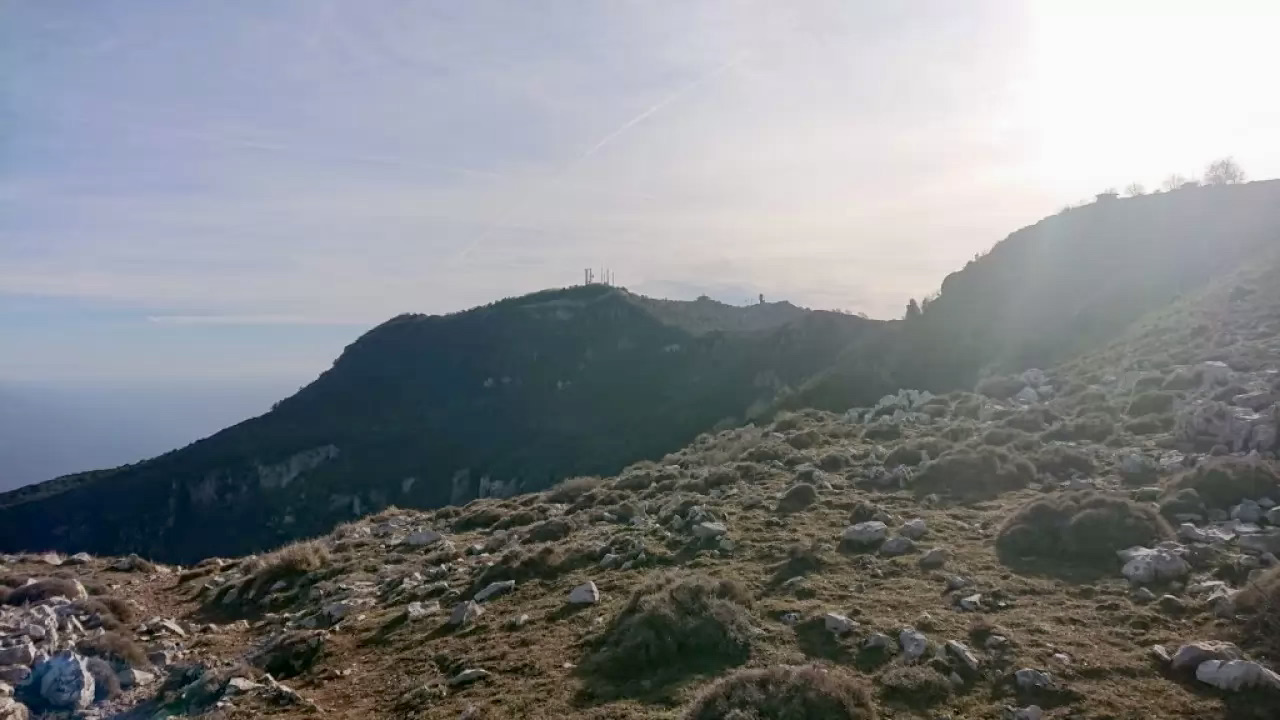
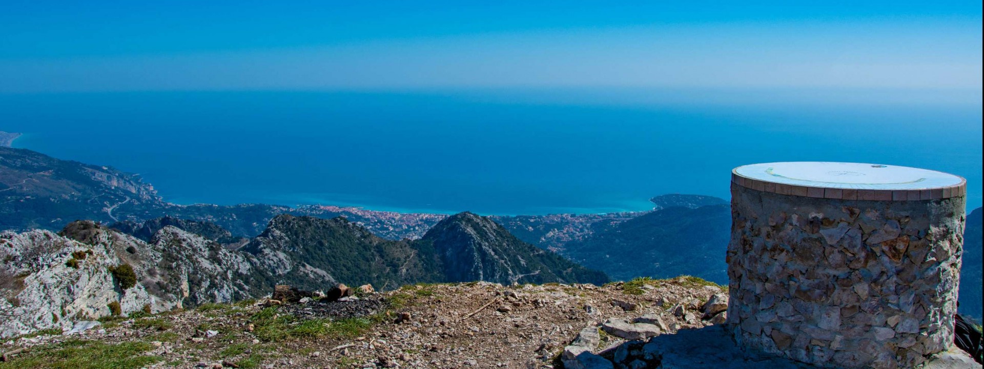
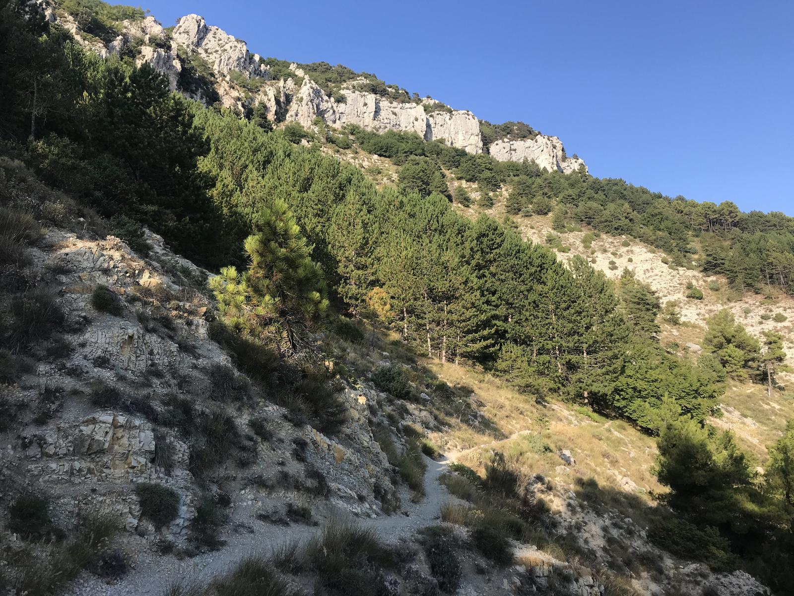
Departing from Gorbio, a fairly uneven route to the top of Baudon (1265m). Magnificent 360° panorama over Nice and Italy.

Already more than 200,000 users!
Uphill
925m
Highest point
1250m
Downhill
925m
Lowest point
349m
Route type
There and back
Download the map on your smartphone to save battery and rest assured to always keep access to the route, even without signal.
Includes IGN France and Swisstopo.
I indicate whether dogs are allowed or prohibited on this trail
All year
0 ratings
Also enjoy:

Already more than 200,000 users!