Uphill
372m
Length
9km
Duration
3h
Elev gain
372m
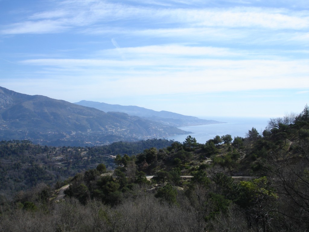
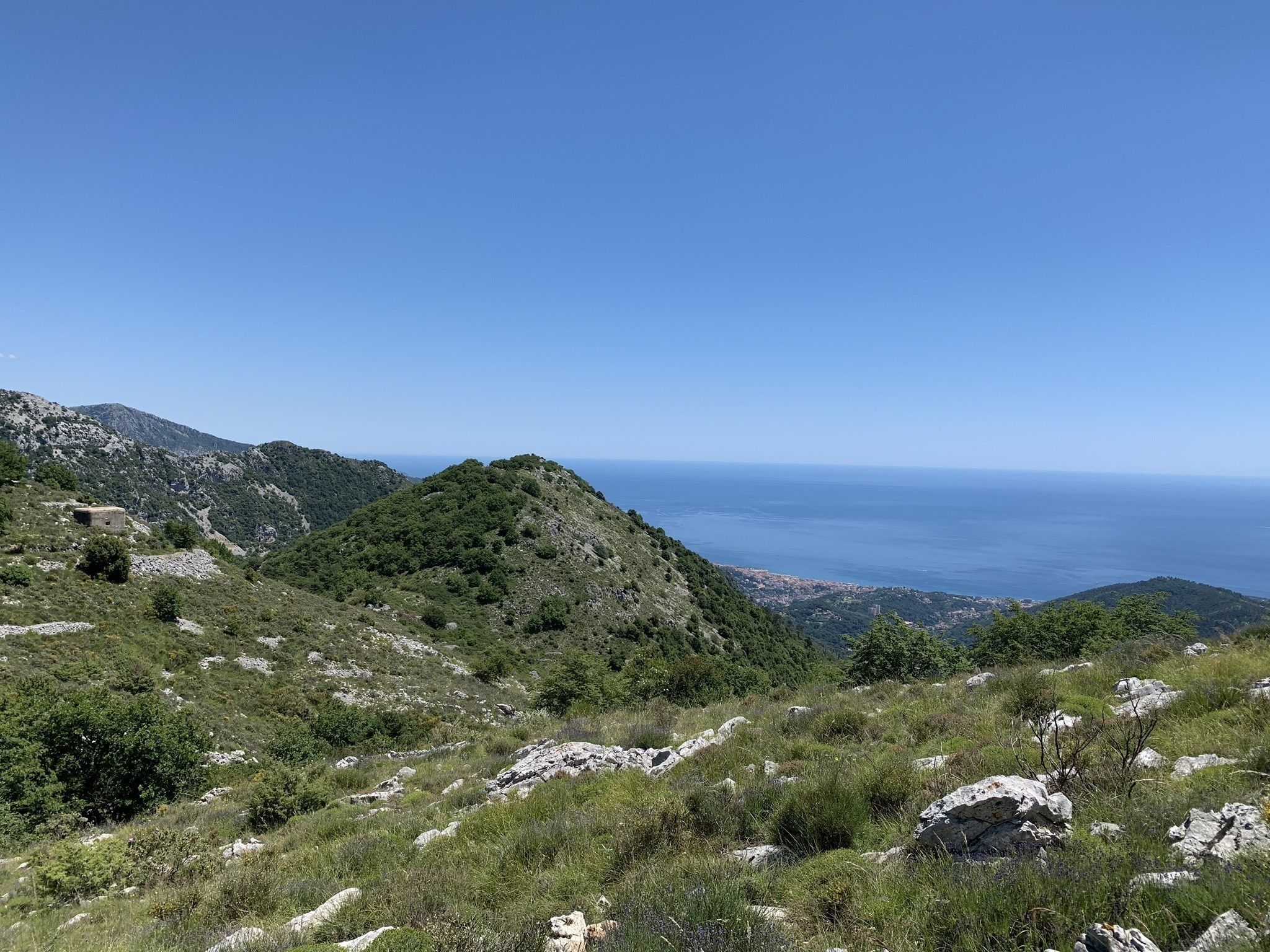
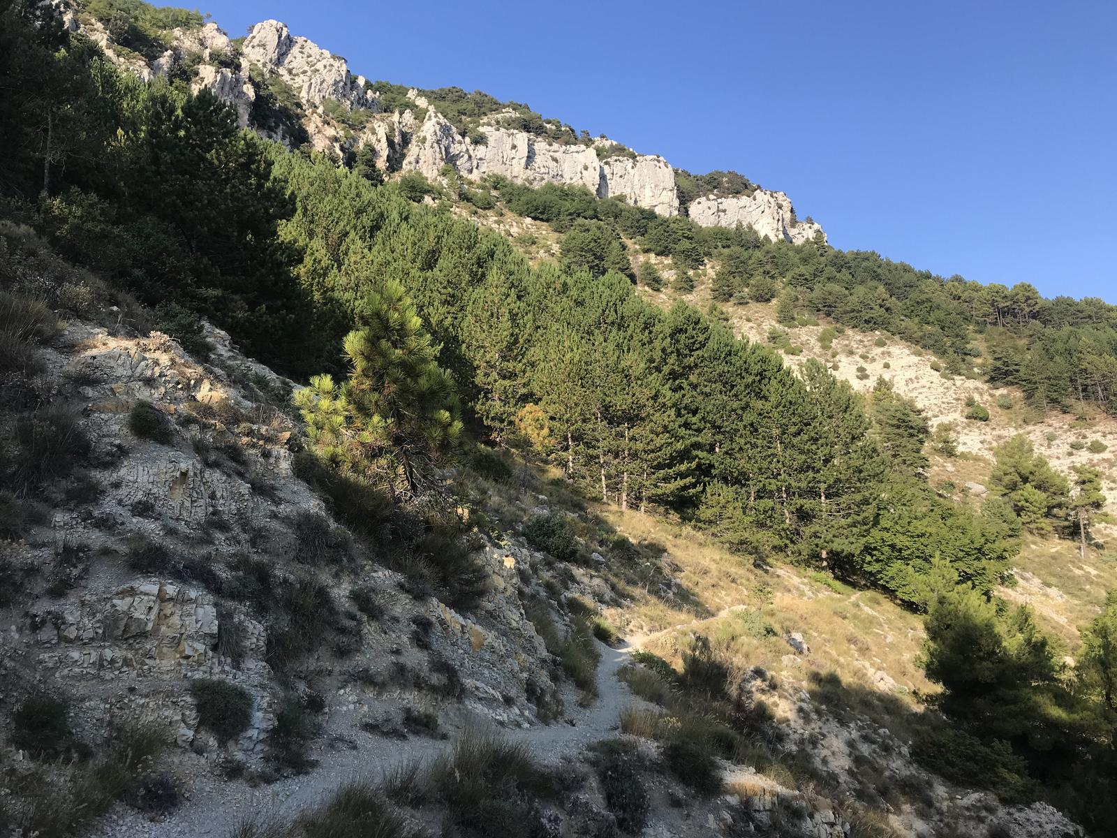
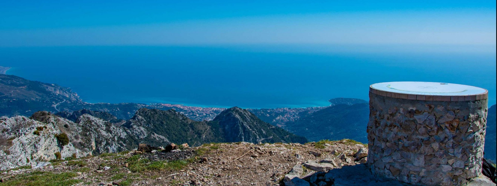
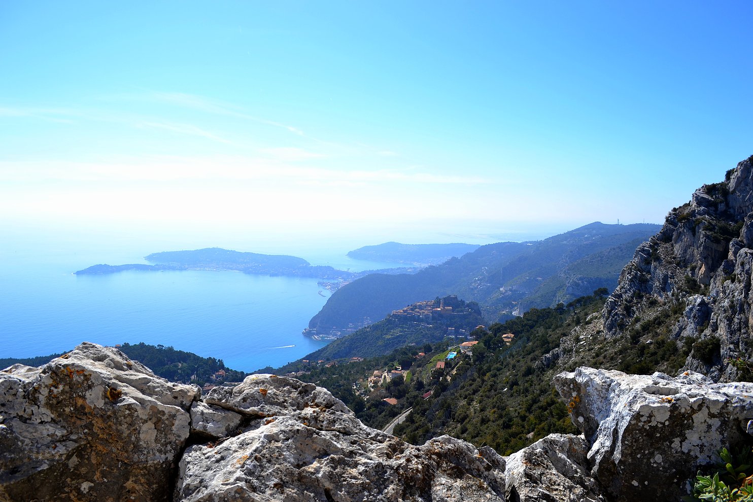
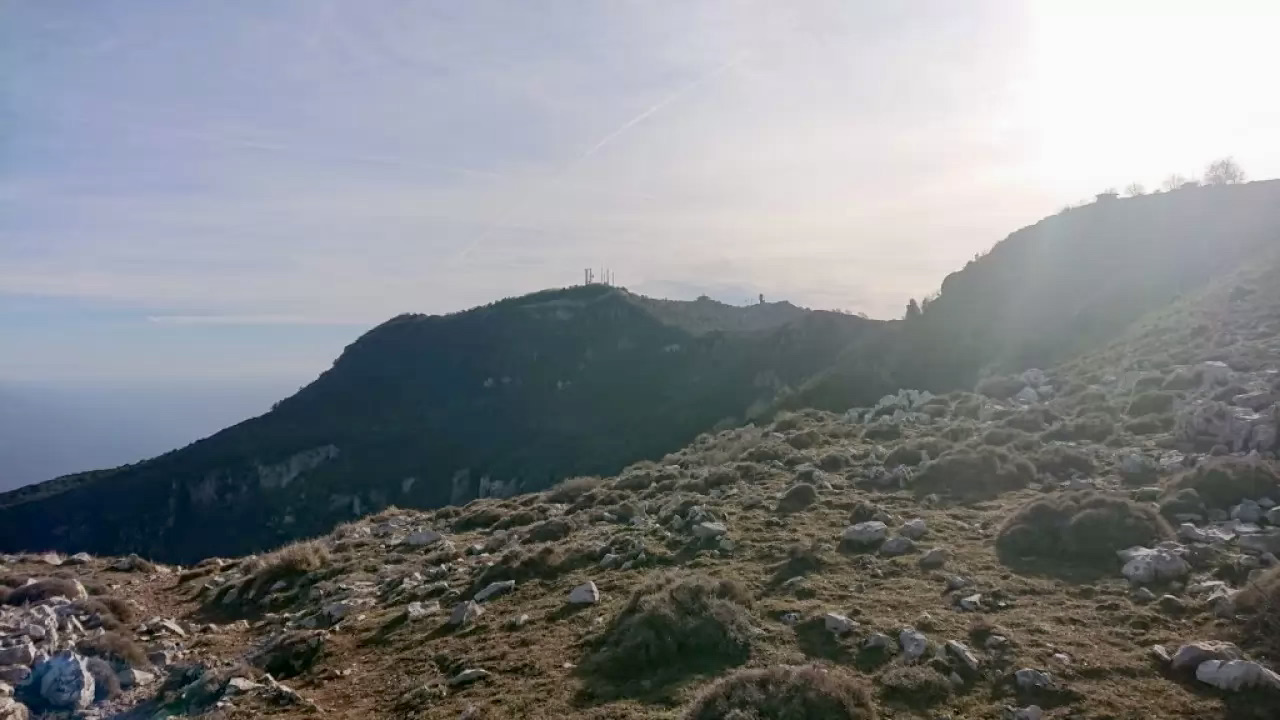
This tour of Mont Agel presents varied landscapes, between forests and mountains. Nice view of the Mediterranean Sea.

Already more than 200,000 users!
Uphill
372m
Highest point
1080m
Downhill
372m
Lowest point
816m
Route type
Loop
Download the map on your smartphone to save battery and rest assured to always keep access to the route, even without signal.
Includes IGN France and Swisstopo.
I indicate whether dogs are allowed or prohibited on this trail
All year
2 ratings
Magnifique balade
Also enjoy:

Already more than 200,000 users!