Uphill
197m
Length
6km
Duration
2h
Elev gain
197m
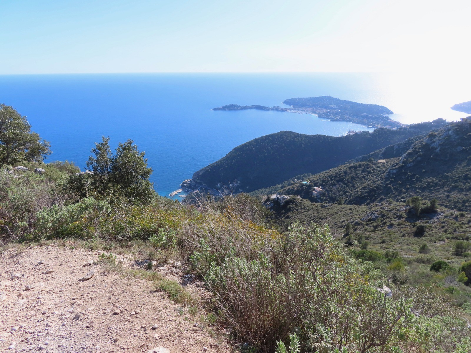
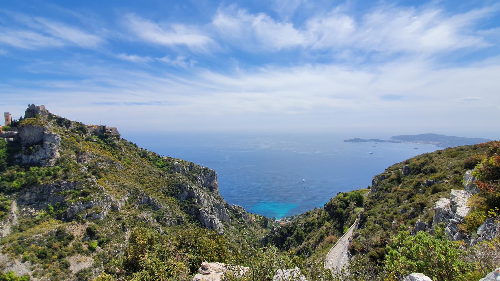
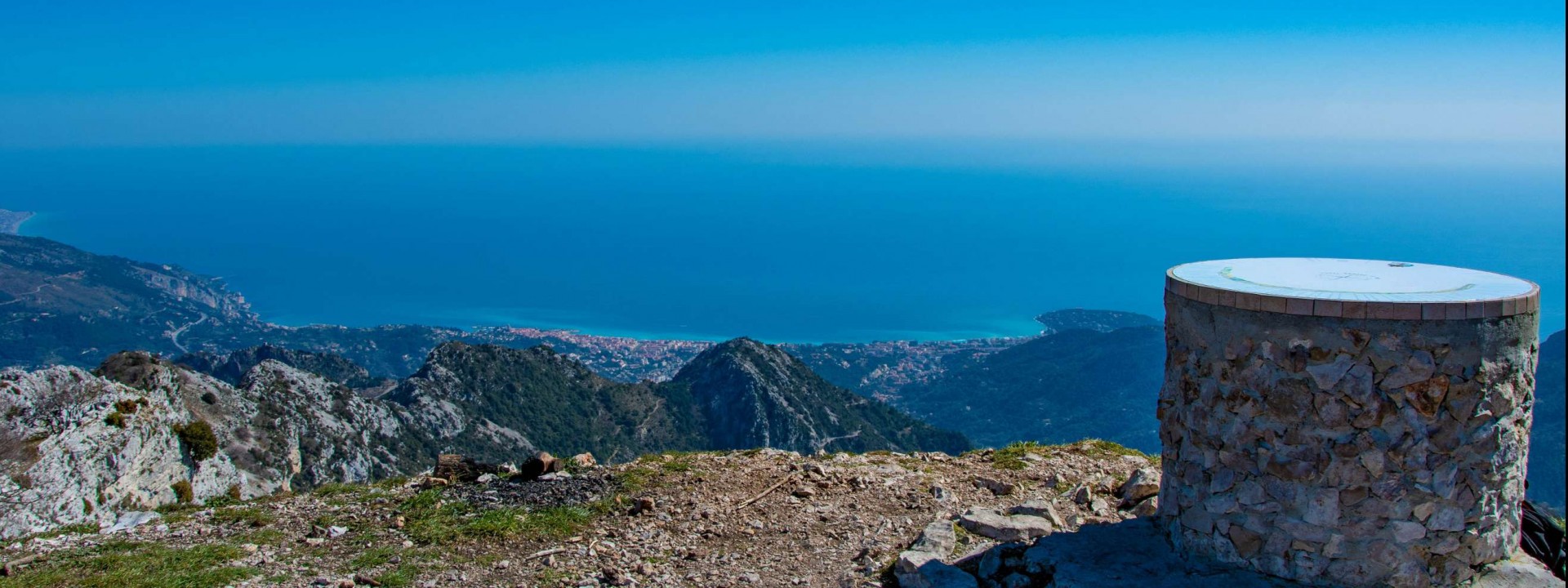
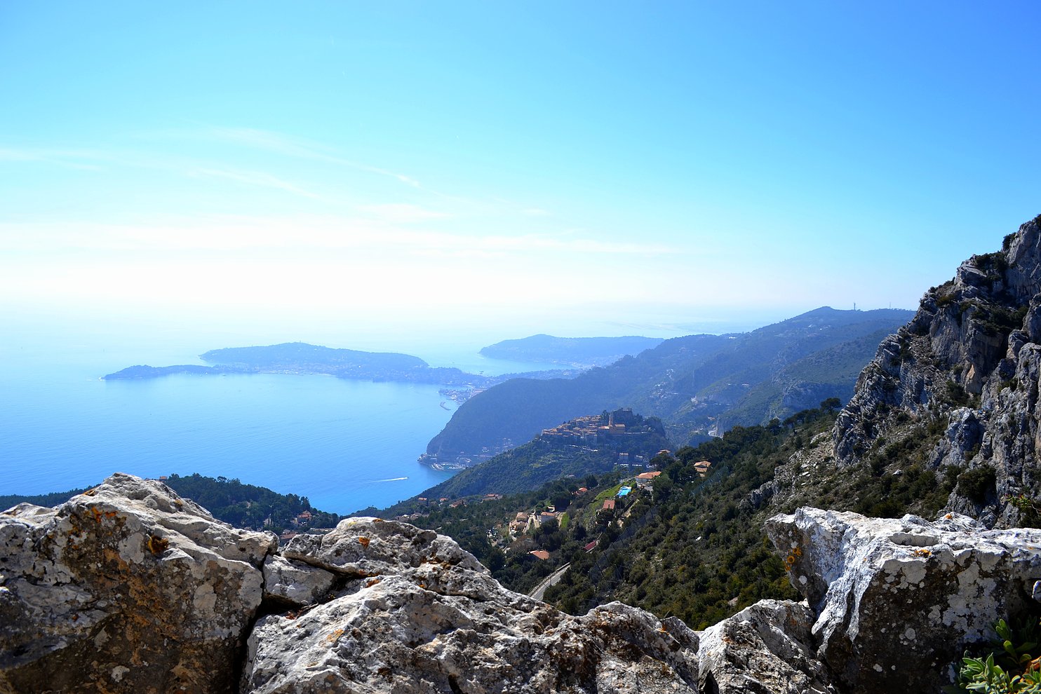
This hike goes around Fort de la Revère, and offers a nice panorama of the coast.

Already more than 200,000 users!
Uphill
197m
Highest point
707m
Downhill
197m
Lowest point
526m
Route type
Loop
Download the map on your smartphone to save battery and rest assured to always keep access to the route, even without signal.
Includes IGN France and Swisstopo.
I indicate whether dogs are allowed or prohibited on this trail
All year
4 ratings
Parking juste au début de la rando, facile d’accès.
Also enjoy:

Already more than 200,000 users!