Uphill
635m
France > Provence-Alpes-Côte d'Azur > Alpes-Maritimes
Length
7km
Duration
4h
Elev gain
635m
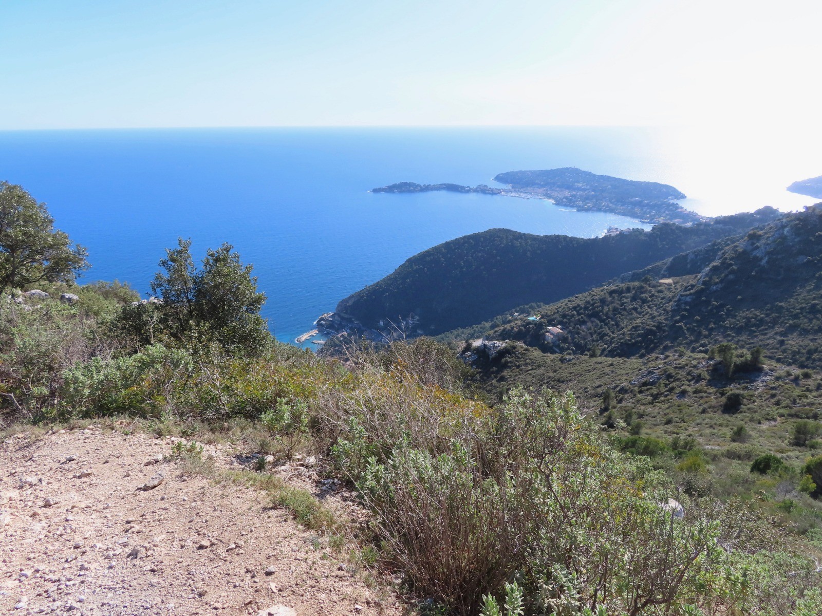
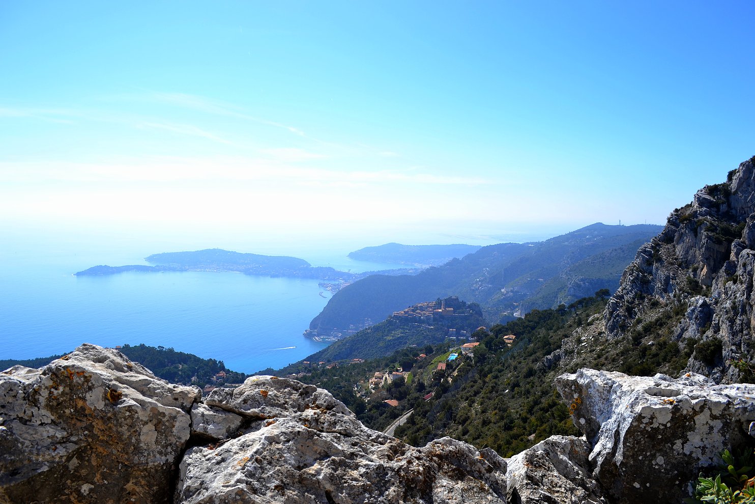
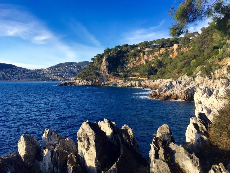
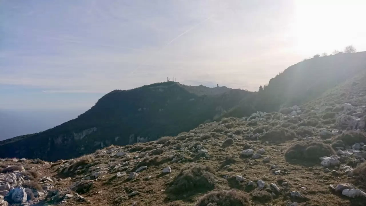
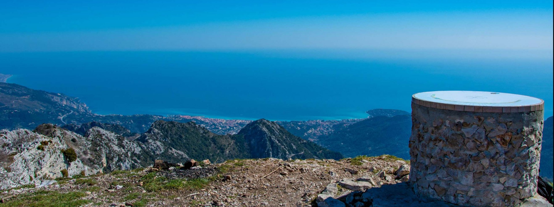
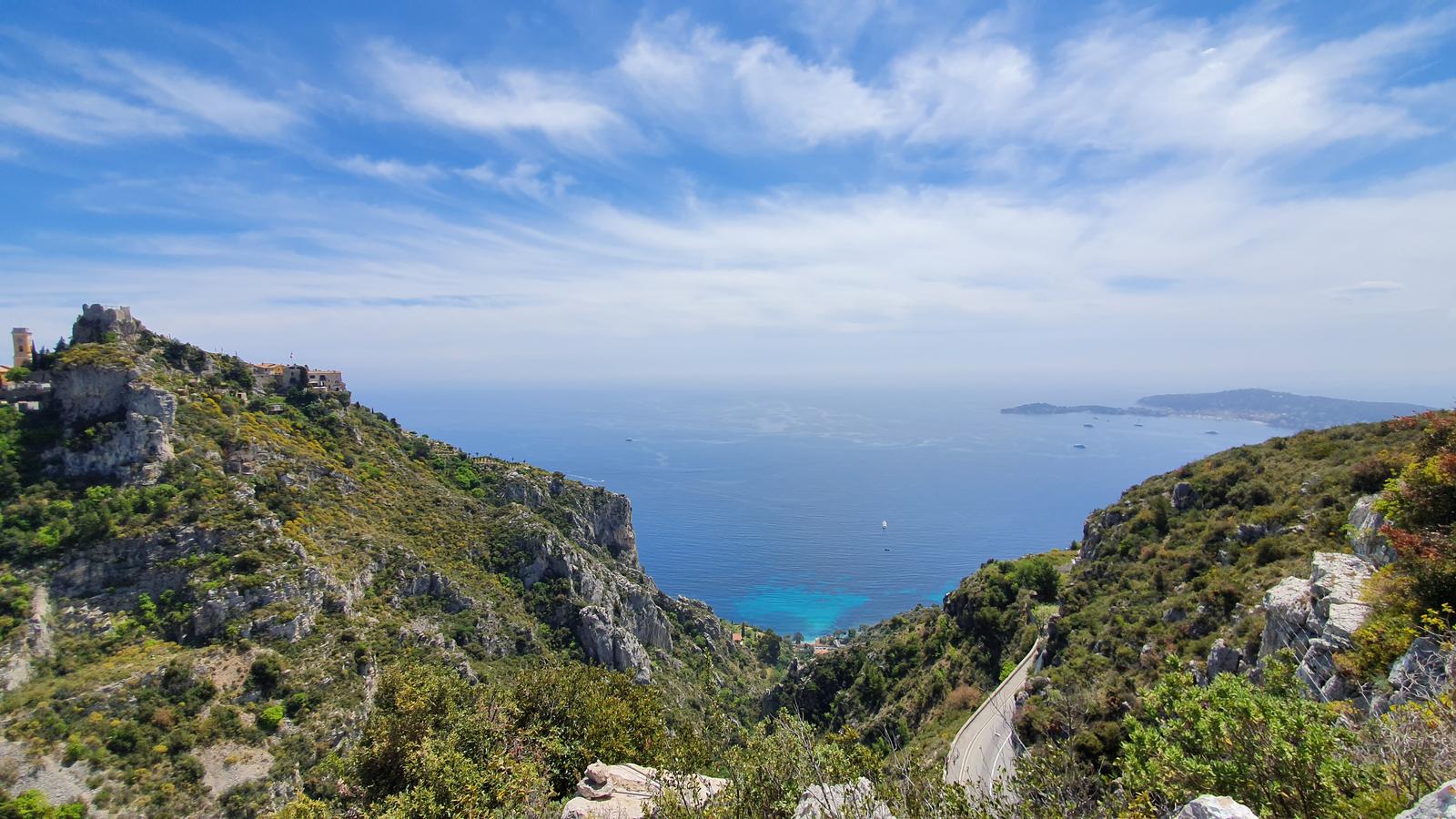
Magnificent steep path winding between rocks and beautiful vegetation. It passes near the village of Eze and its botanical garden, before offering a magnificent view from Mont Bastide.
The philosopher Nietzsche liked to walk there, giving his name to the path.

Already more than 200,000 users!
Uphill
635m
Highest point
569m
Downhill
635m
Lowest point
13m
Route type
Loop
Download the map on your smartphone to save battery and rest assured to always keep access to the route, even without signal.
Includes IGN France and Swisstopo.
Parking by the side of the road at the start of the hike.
Near Eze train station (TER).
4 ratings
Jolie balade qui a l’avantage d’être accessible en train. Dès la sortie de la gare, le sentier grimpe dur jusqu’à Eze. Le village mérite un petit détour qui n’est pas inclut dans l’itinéraire - le plaisir de se perdre dans ses ruelles médiévales, de profiter des nombreux restos, ou de découvrir le célèbre jardin botanique.
Après le village, le sentier continue de grimper jusqu’au mont Bastide, ce qui offre probablement les plus jolies vues sur Eze, mais aussi sur Saint-Jean-Cap-Ferrat d’un côté, et sur le Mercantour de l’autre.
Also enjoy:

Already more than 200,000 users!