Uphill
534m
France > Provence-Alpes-Côte d'Azur > Alpes-Maritimes
Length
6km
Duration
3h30min
Elev gain
534m
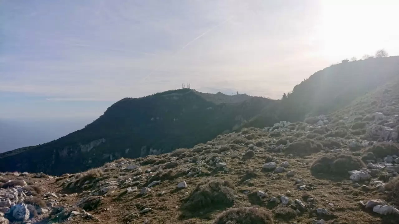
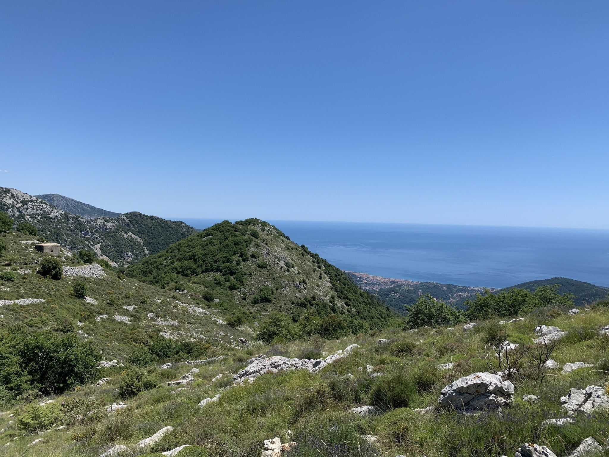
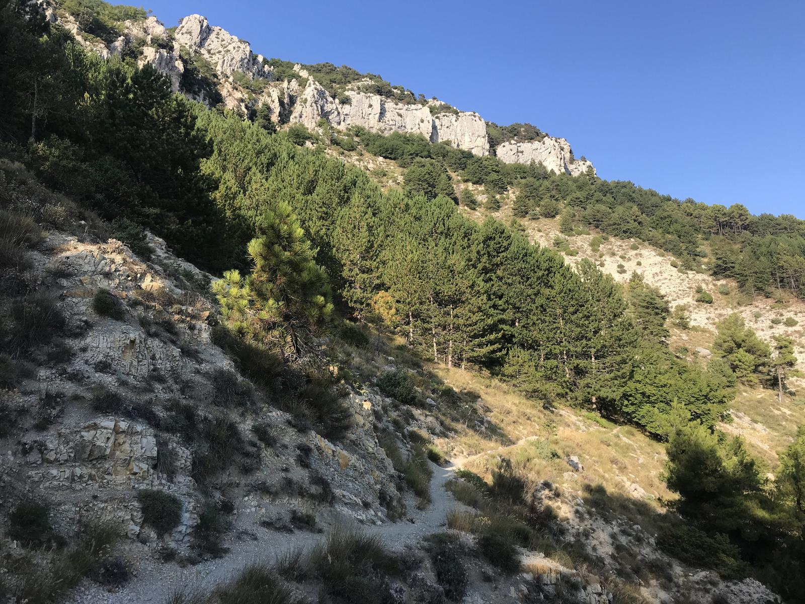
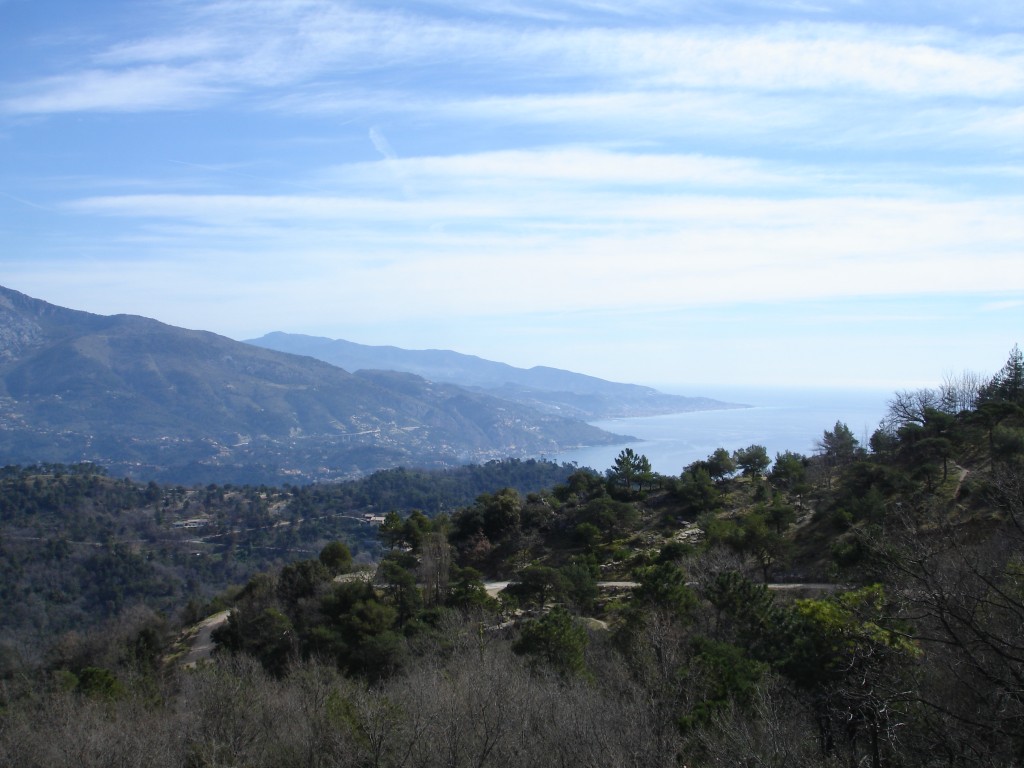
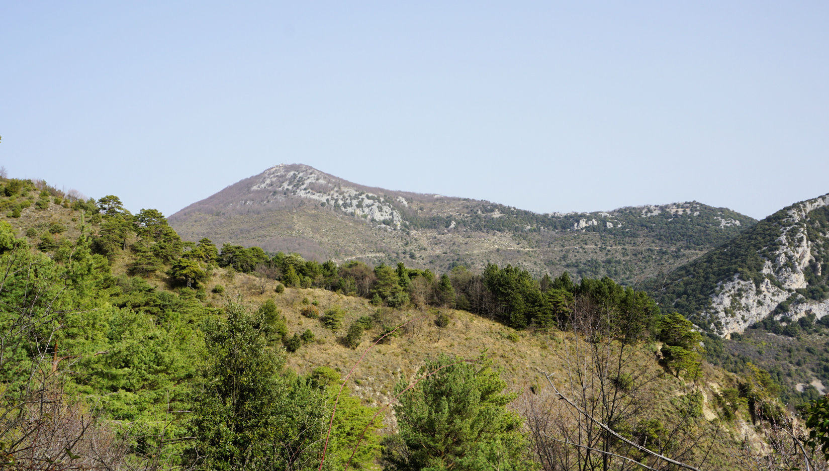
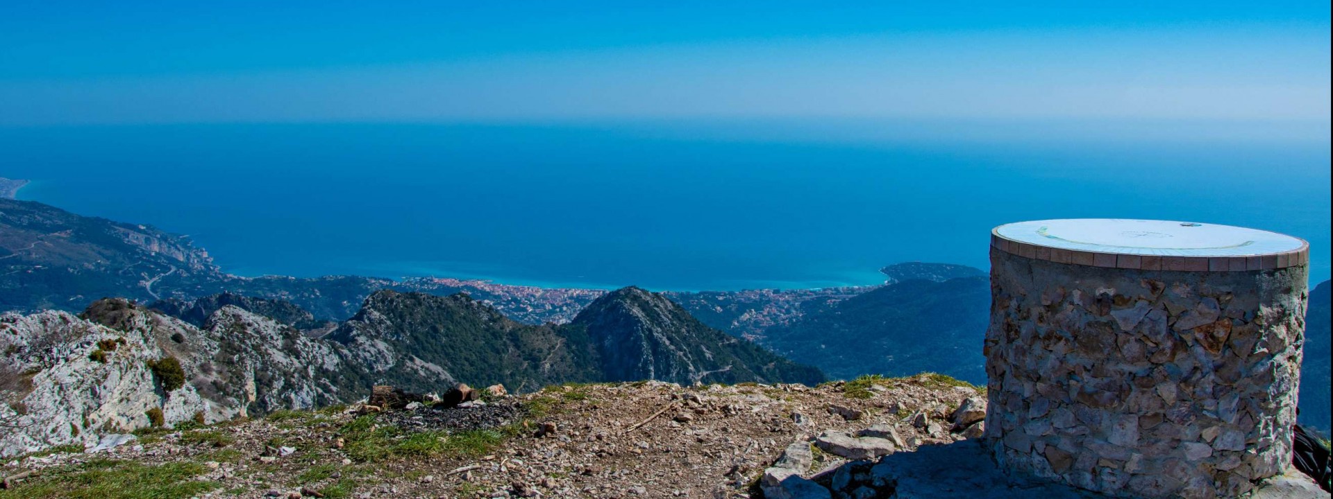
Ascent of the Cime de Baudon from the Col du Saint-Bernard. The views over the valley are magnificent. Be careful: take some good shoes because the path is a bit rough and rocky.

Already more than 200,000 users!
Uphill
534m
Highest point
1250m
Downhill
534m
Lowest point
728m
Route type
Loop
Download the map on your smartphone to save battery and rest assured to always keep access to the route, even without signal.
Includes IGN France and Swisstopo.
I indicate whether dogs are allowed or prohibited on this trail
All year
2 ratings
Also enjoy:

Already more than 200,000 users!