Uphill
60m
Length
7km
Duration
2h
Elev gain
60m
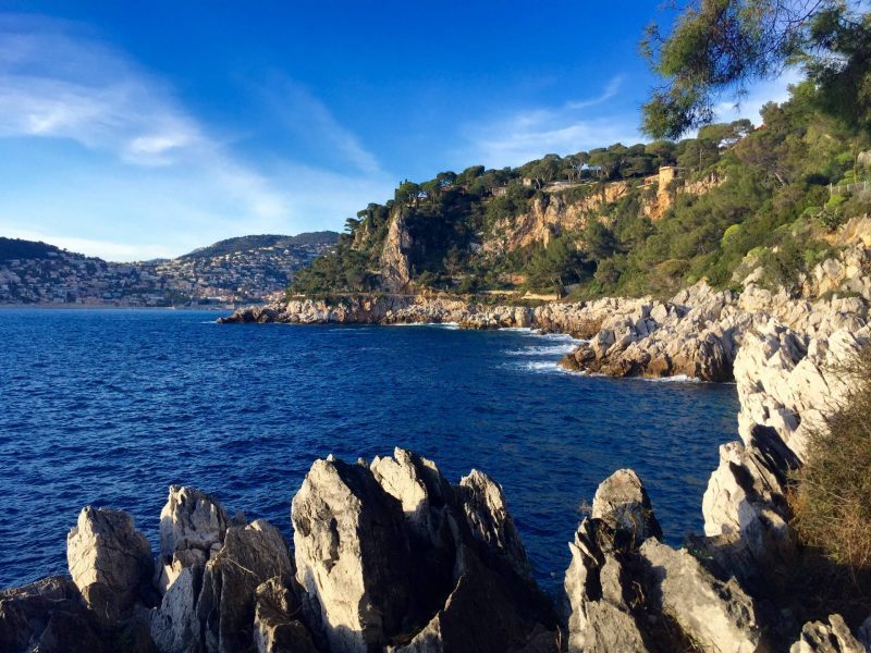
Departing from the port of Saint-Jean-Cap-Ferrat, this trail runs along Cap Ferrat via the Chemin de la Carrière. The ground is paved which makes the walk easy.
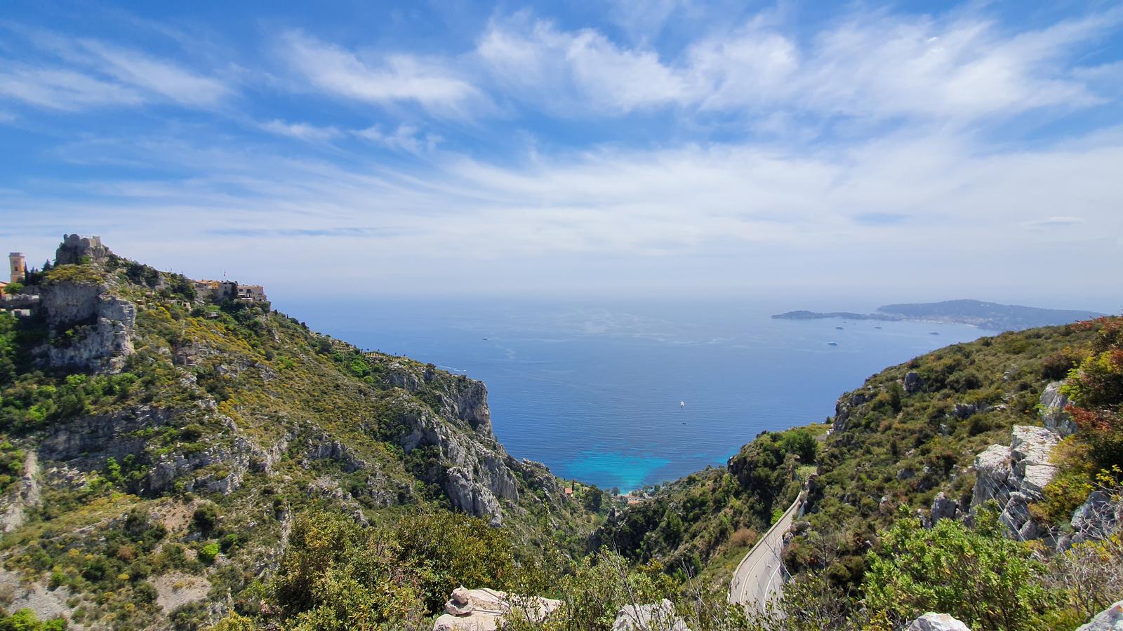
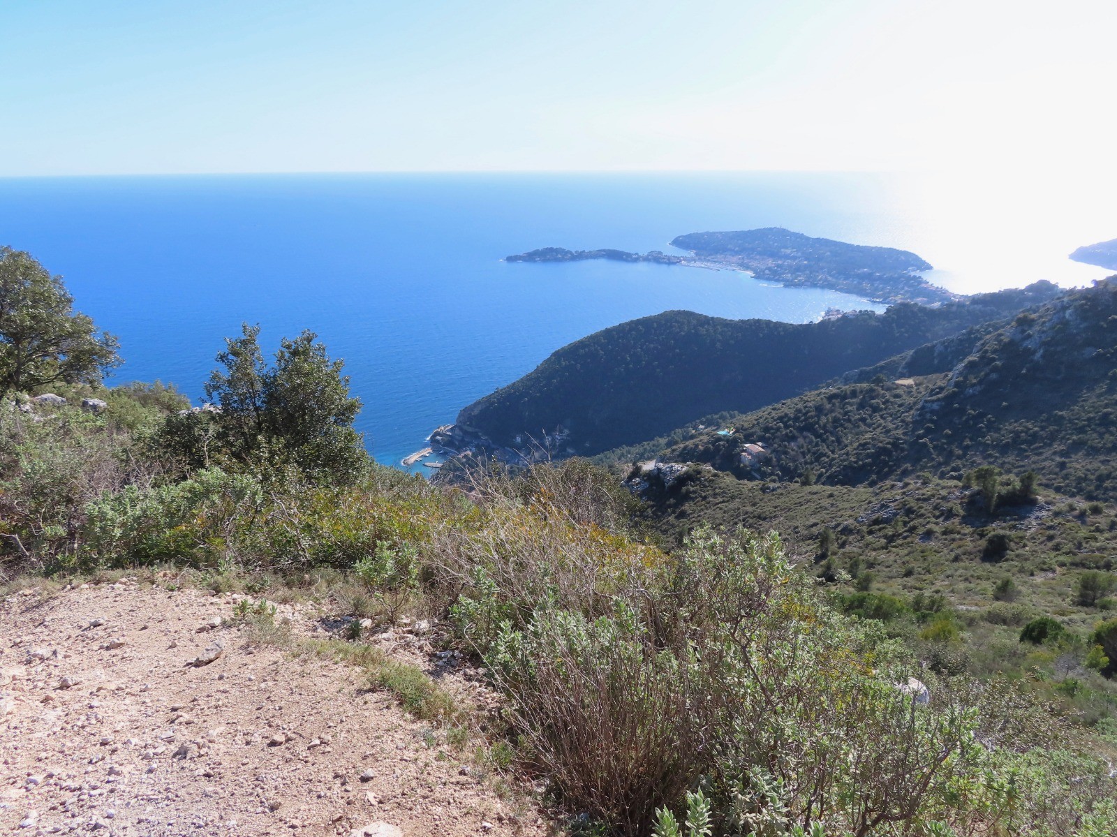
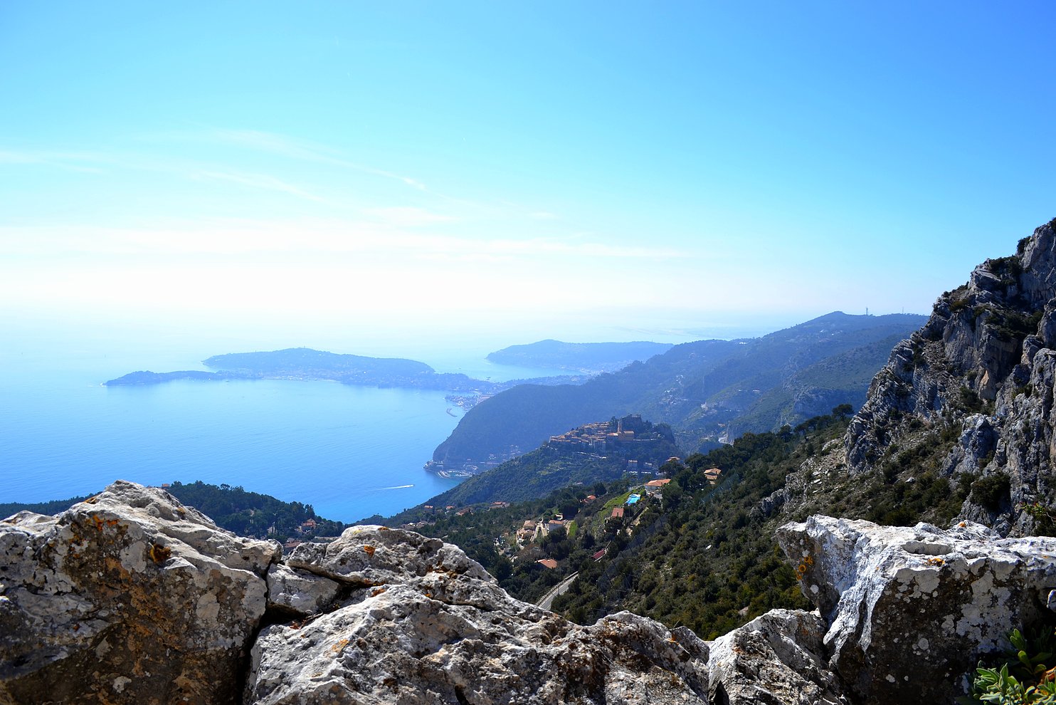
Magnificent views of the villas and the sea.

Already more than 200,000 users!
Uphill
60m
Highest point
49m
Downhill
60m
Lowest point
0m
Route type
Loop
Download the map on your smartphone to save battery and rest assured to always keep access to the route, even without signal.
Includes IGN France and Swisstopo.
I indicate whether dogs are allowed or prohibited on this trail
All year
7 ratings
Balade sympa. Le sentier longe la mer tout du long, en contrebas des domaines et des villas de Saint-Jean-Cap-Ferrat. La première moitié se fait au plus près de l’eau, alors que la seconde se déroule en haut de falaises.
Jolis points de vue. On peut apercevoir l’extrémité est de Monaco, et on profite bien de la baie des Anges. Et en ce mois de novembre j’ai pu deviner les montagnes corses au loin.
Also enjoy:

Already more than 200,000 users!