Uphill
331m
Length
6km
Duration
2h30min
Elev gain
331m
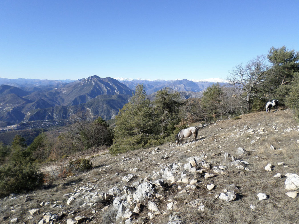
From Aspremont, this trail leads to Mont Cima (878 m) which offers a nice view of the Mercantour and Italy. The return is via the Croix du Cuor (744 m).

Already more than 200,000 users!
Uphill
331m
Highest point
855m
Downhill
331m
Lowest point
562m
Route type
Loop
Download the map on your smartphone to save battery and rest assured to always keep access to the route, even without signal.
Includes IGN France and Swisstopo.
I indicate whether dogs are allowed or prohibited on this trail
All year
4 ratings
Also enjoy:

Already more than 200,000 users!