Uphill
749m
Length
10km
Duration
5h30min
Elev gain
749m
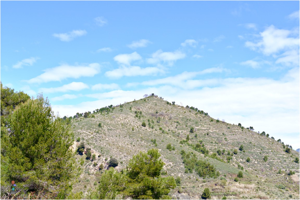
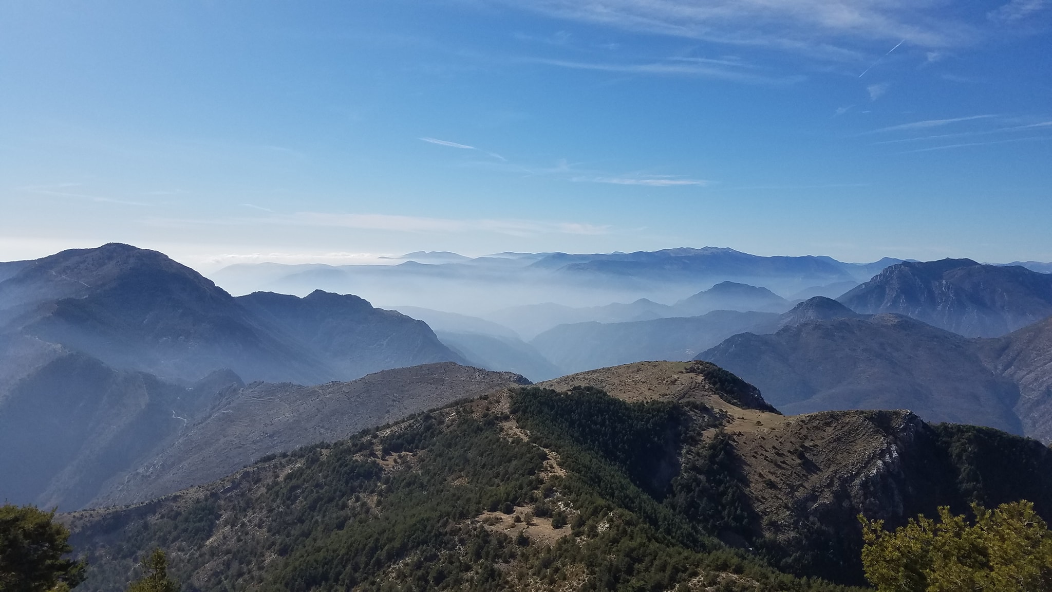
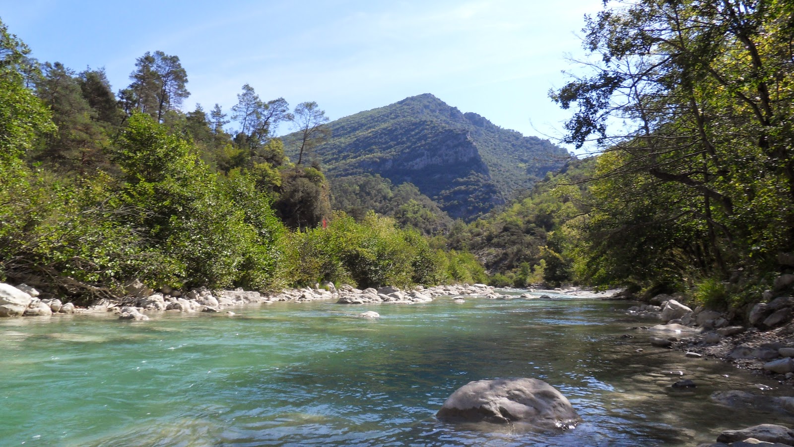
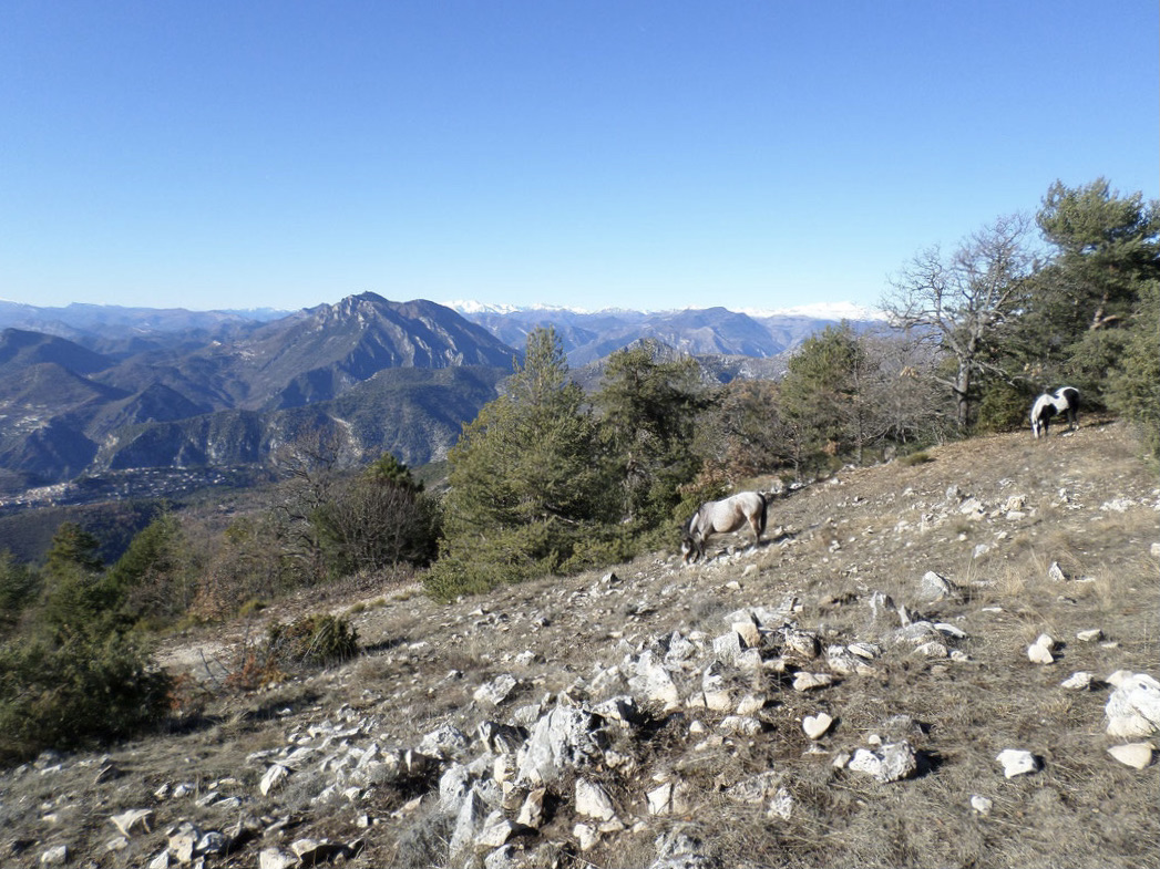
Departing from Levens, this route takes you to a crest offering a magnificent panorama of the coast and the summits of Estéron.
Most of the walk takes place in the forest, with many conifers in particular.

Already more than 200,000 users!
Uphill
749m
Highest point
1399m
Downhill
749m
Lowest point
658m
Route type
There and back
Download the map on your smartphone to save battery and rest assured to always keep access to the route, even without signal.
Includes IGN France and Swisstopo.
I indicate whether dogs are allowed or prohibited on this trail
Can be difficult in Winter
0 ratings
Also enjoy:

Already more than 200,000 users!