Uphill
514m
Length
11km
Duration
4h
Elev gain
514m
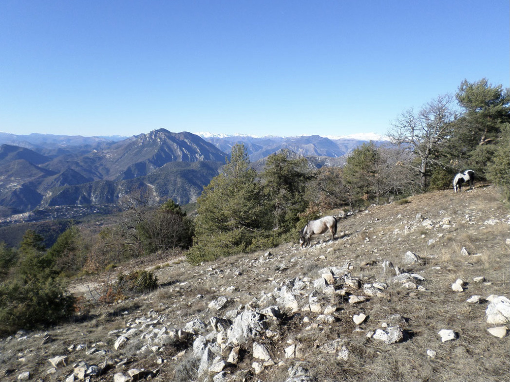
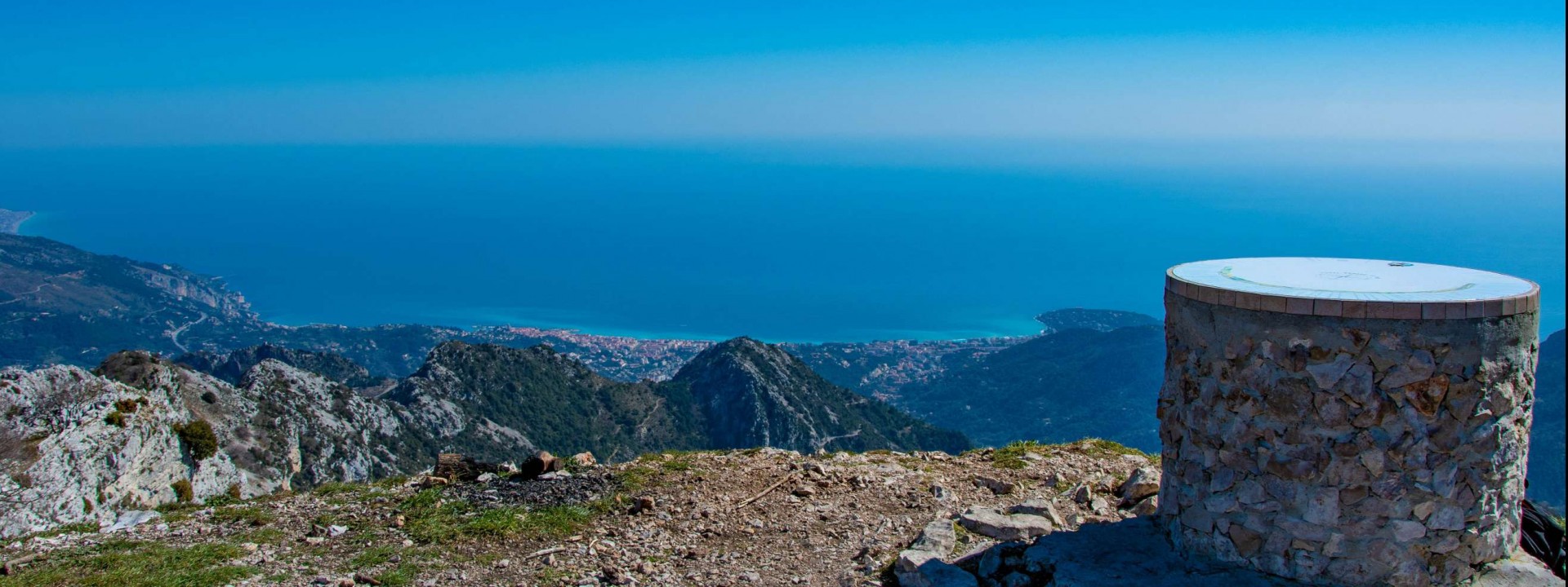
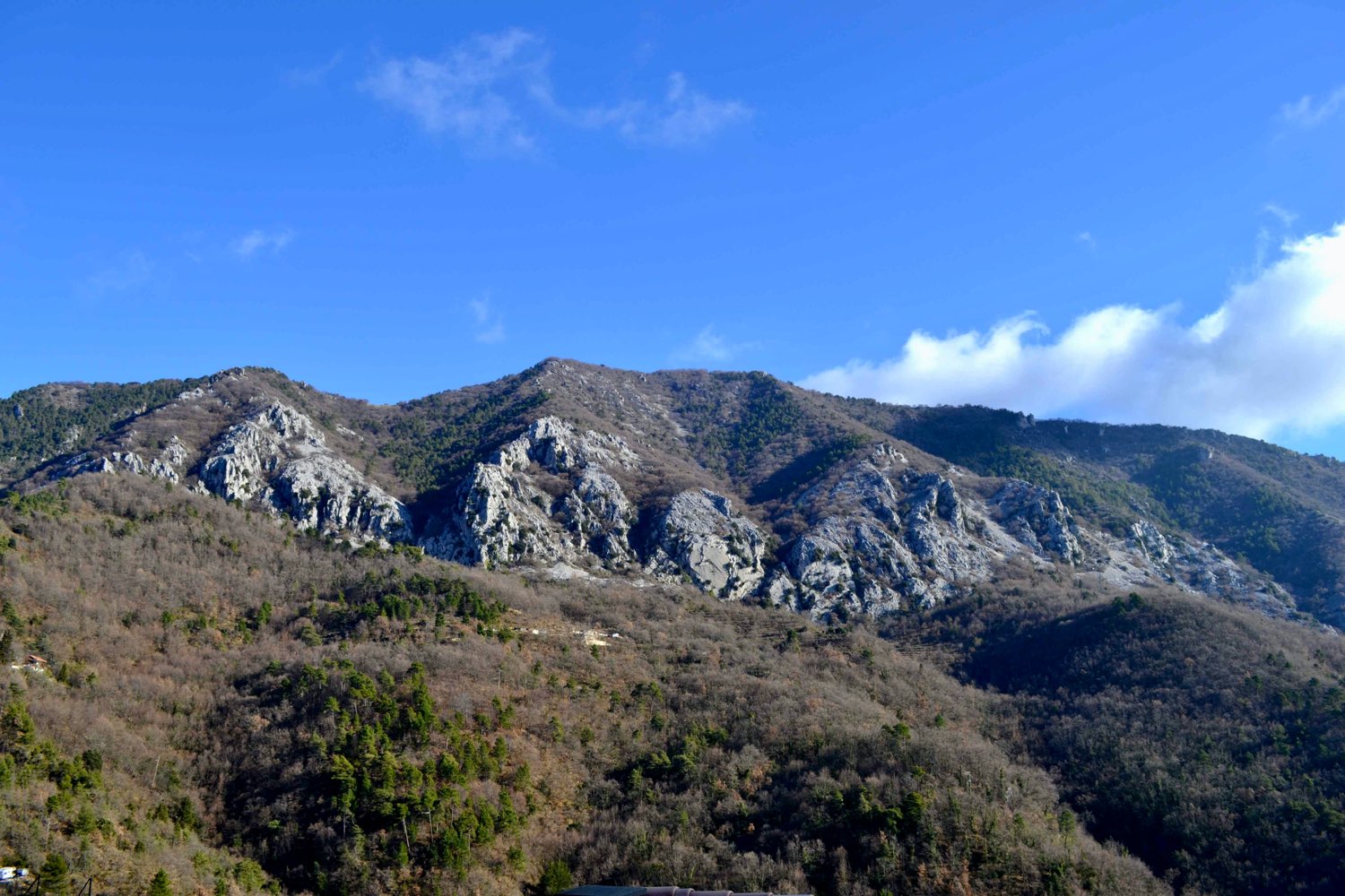
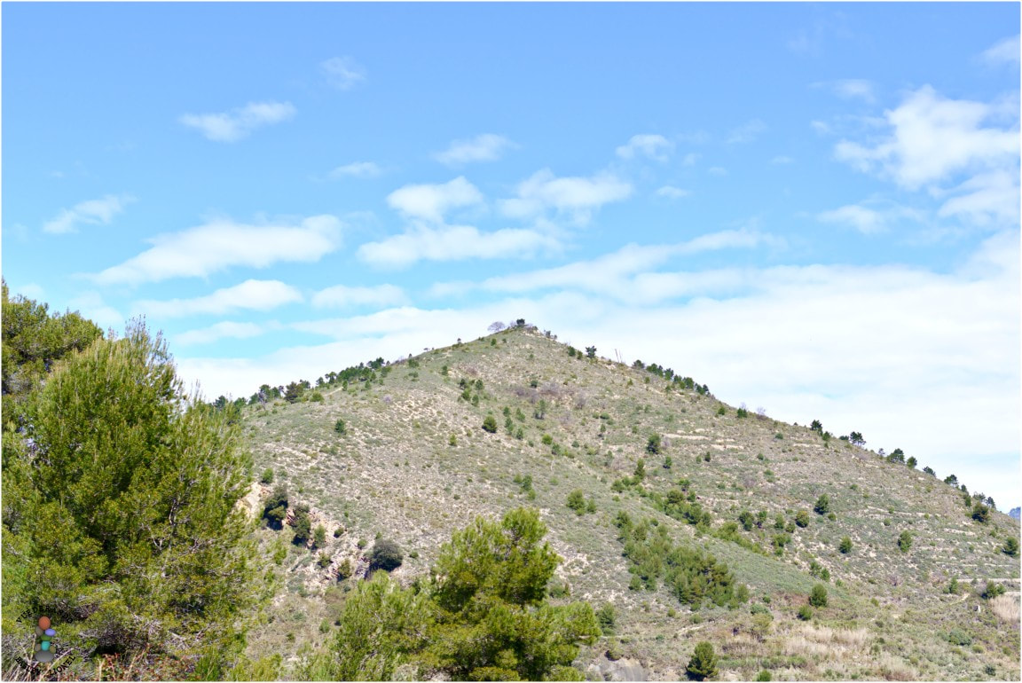
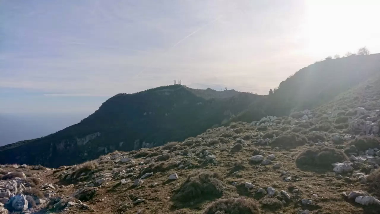
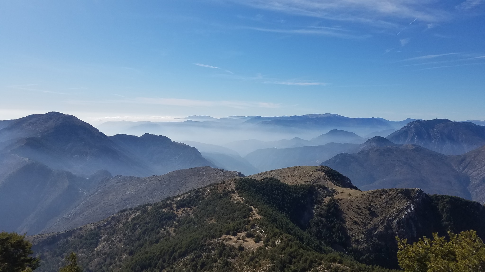
Starting from the Col de Porte, this trail leads to the summit of Roccassièra, between the Vésubie valley and that of the Paillons. Magnificent 360-degree view of the Mercantour.

Already more than 200,000 users!
Uphill
514m
Highest point
1475m
Downhill
514m
Lowest point
1057m
Route type
There and back
Download the map on your smartphone to save battery and rest assured to always keep access to the route, even without signal.
Includes IGN France and Swisstopo.
I indicate whether dogs are allowed or prohibited on this trail
Can be difficult in Winter
0 ratings
Also enjoy:

Already more than 200,000 users!