Uphill
621m
Length
9km
Duration
4h30min
Elev gain
621m
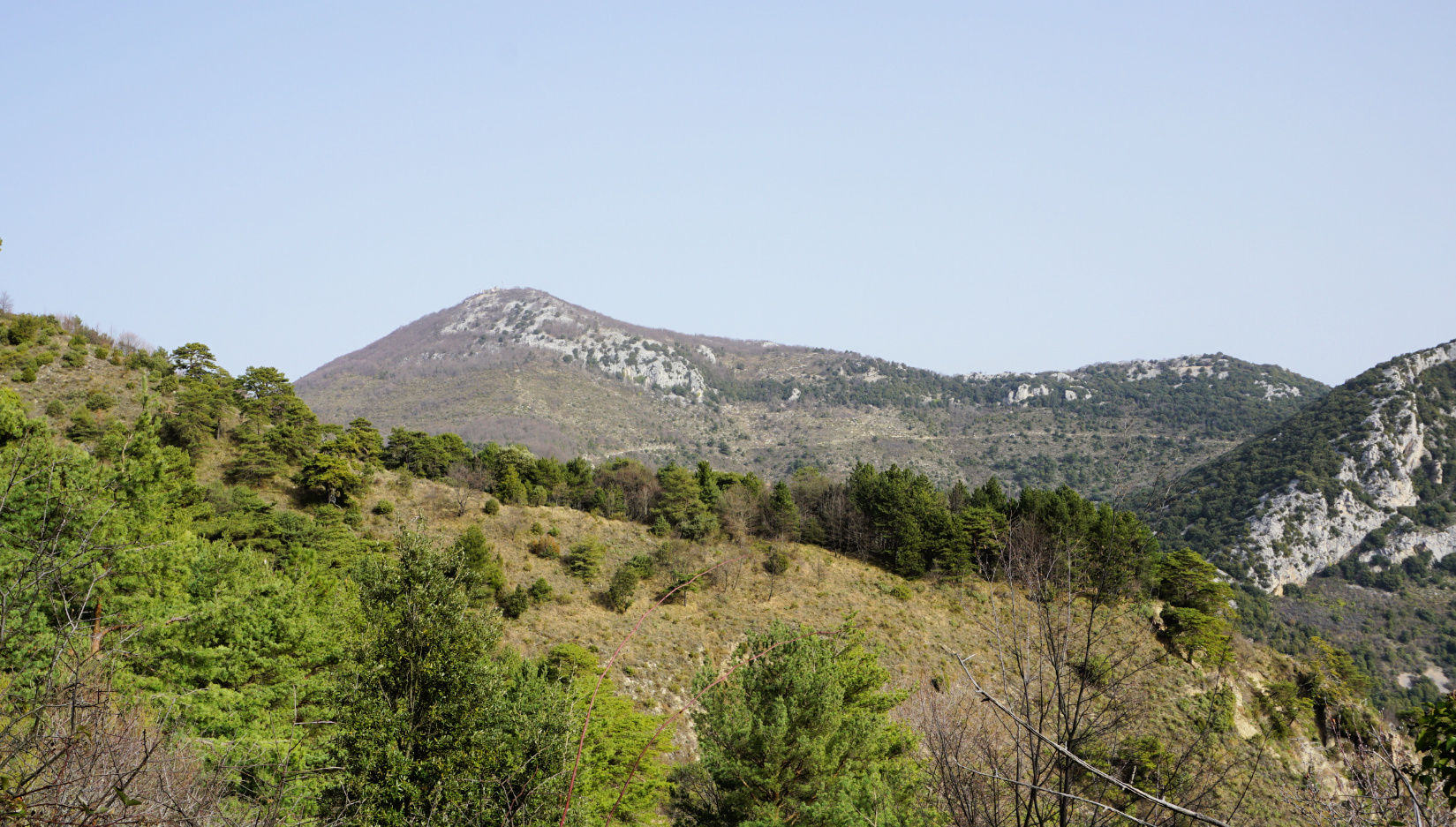
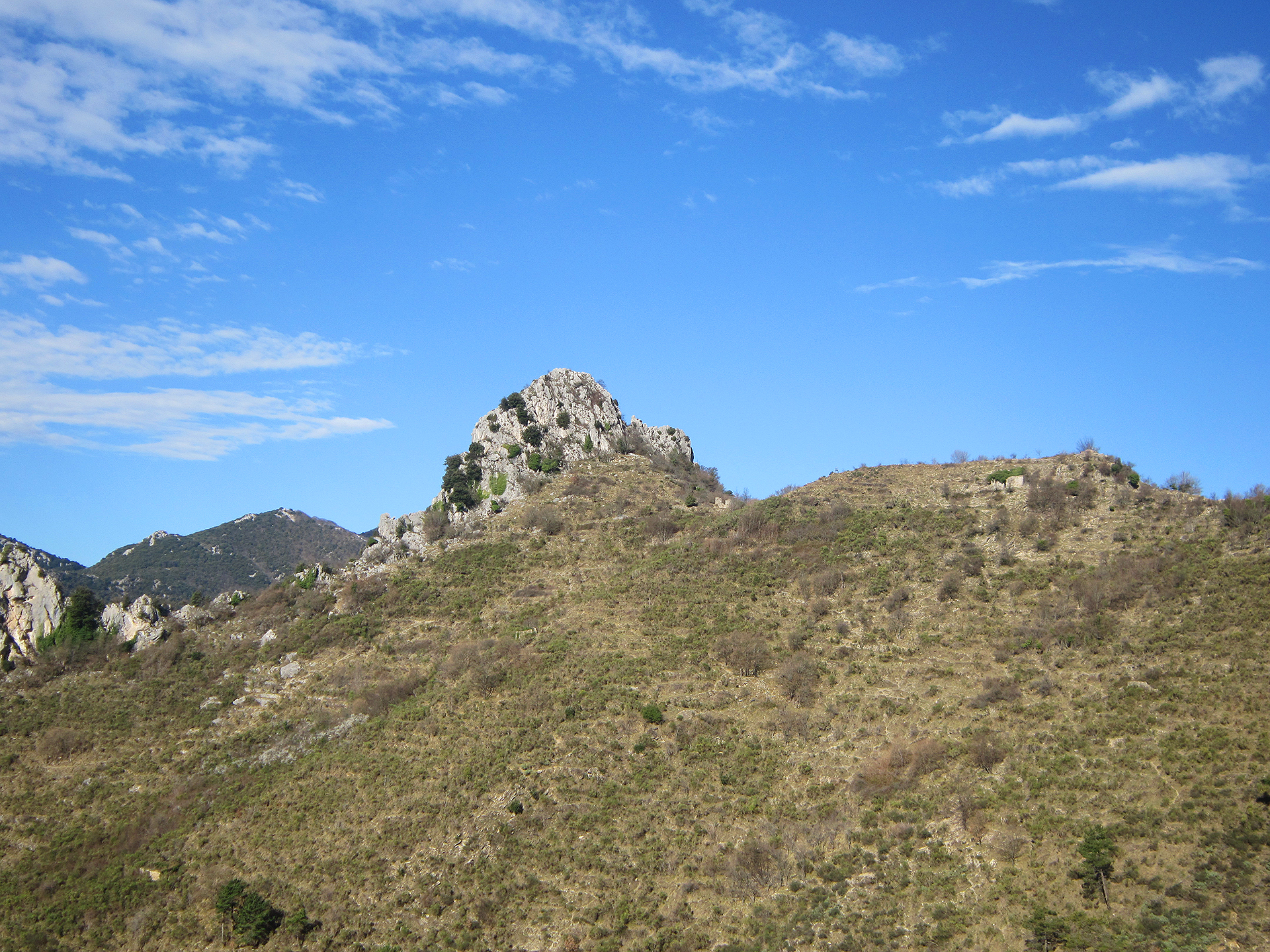
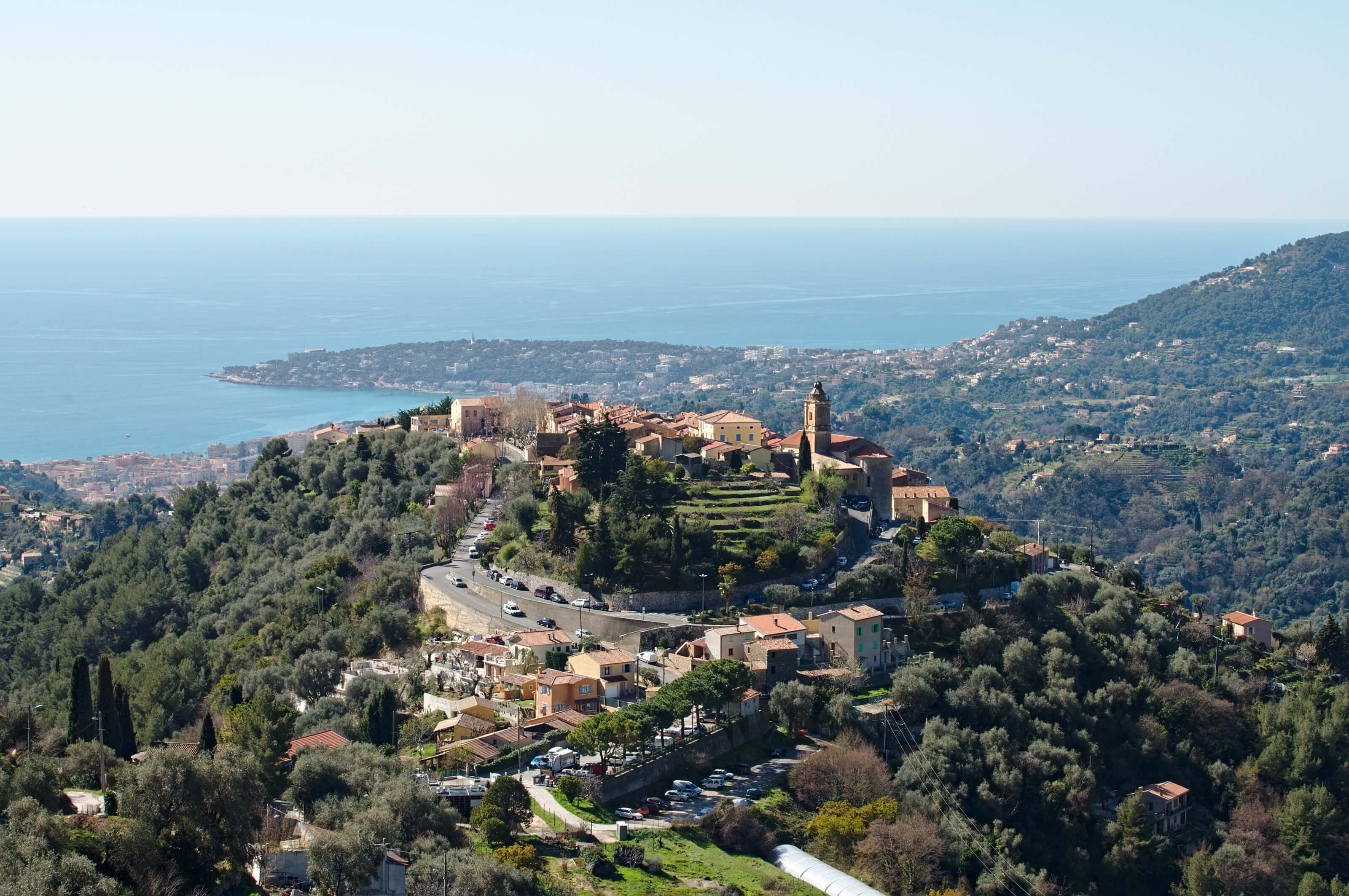
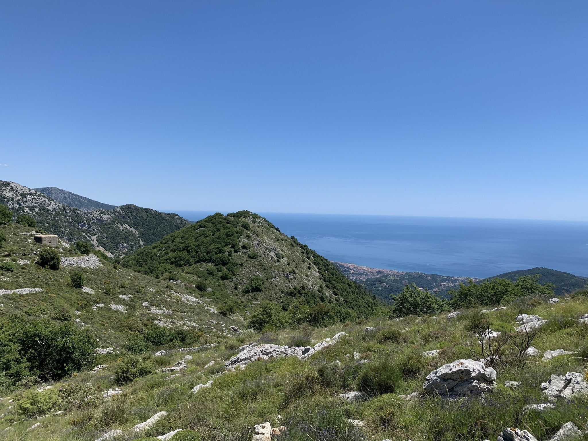
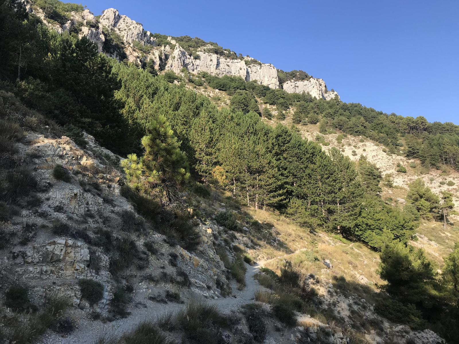
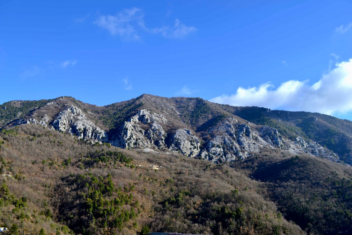
Starting from the Col de Castillon, in the Menton hinterland, this varied hike offers lovely views of the coast and the Mercantour.

Already more than 200,000 users!
Uphill
621m
Highest point
1278m
Downhill
621m
Lowest point
715m
Route type
Loop
Download the map on your smartphone to save battery and rest assured to always keep access to the route, even without signal.
Includes IGN France and Swisstopo.
I indicate whether dogs are allowed or prohibited on this trail
Can be difficult in Winter
0 ratings
Also enjoy:

Already more than 200,000 users!