Uphill
1017m
Length
13km
Duration
7h
Elev gain
1017m
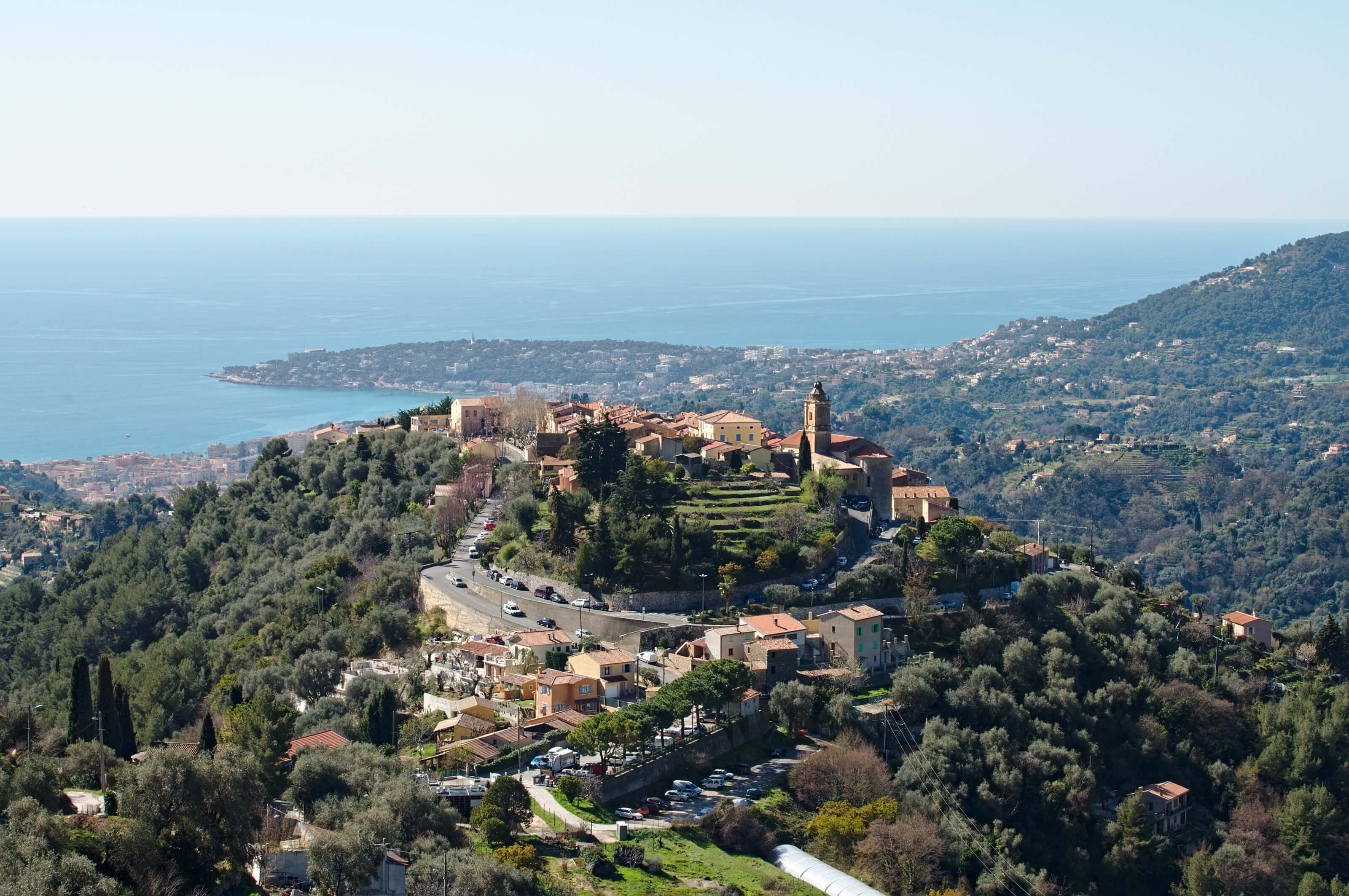
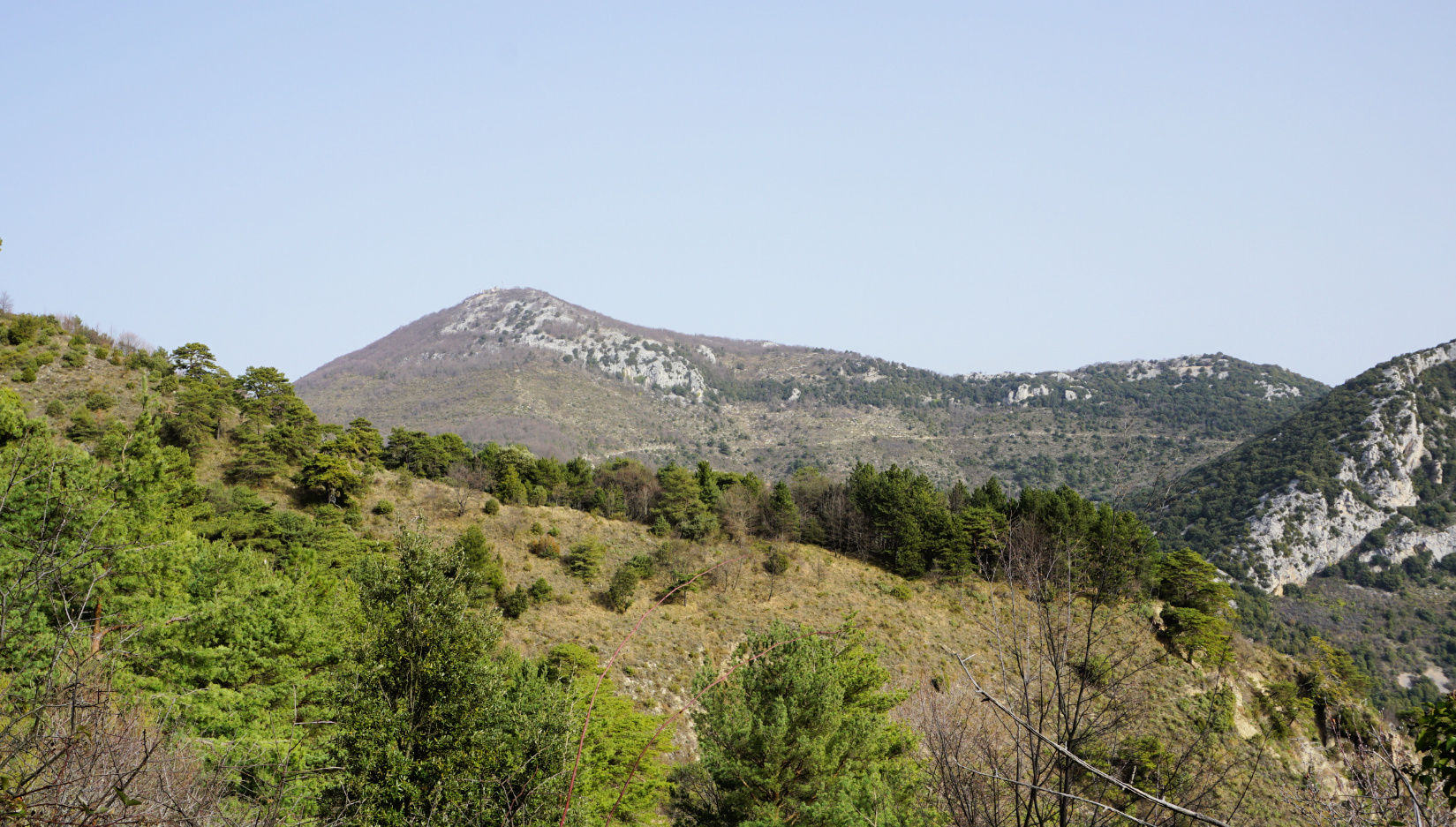
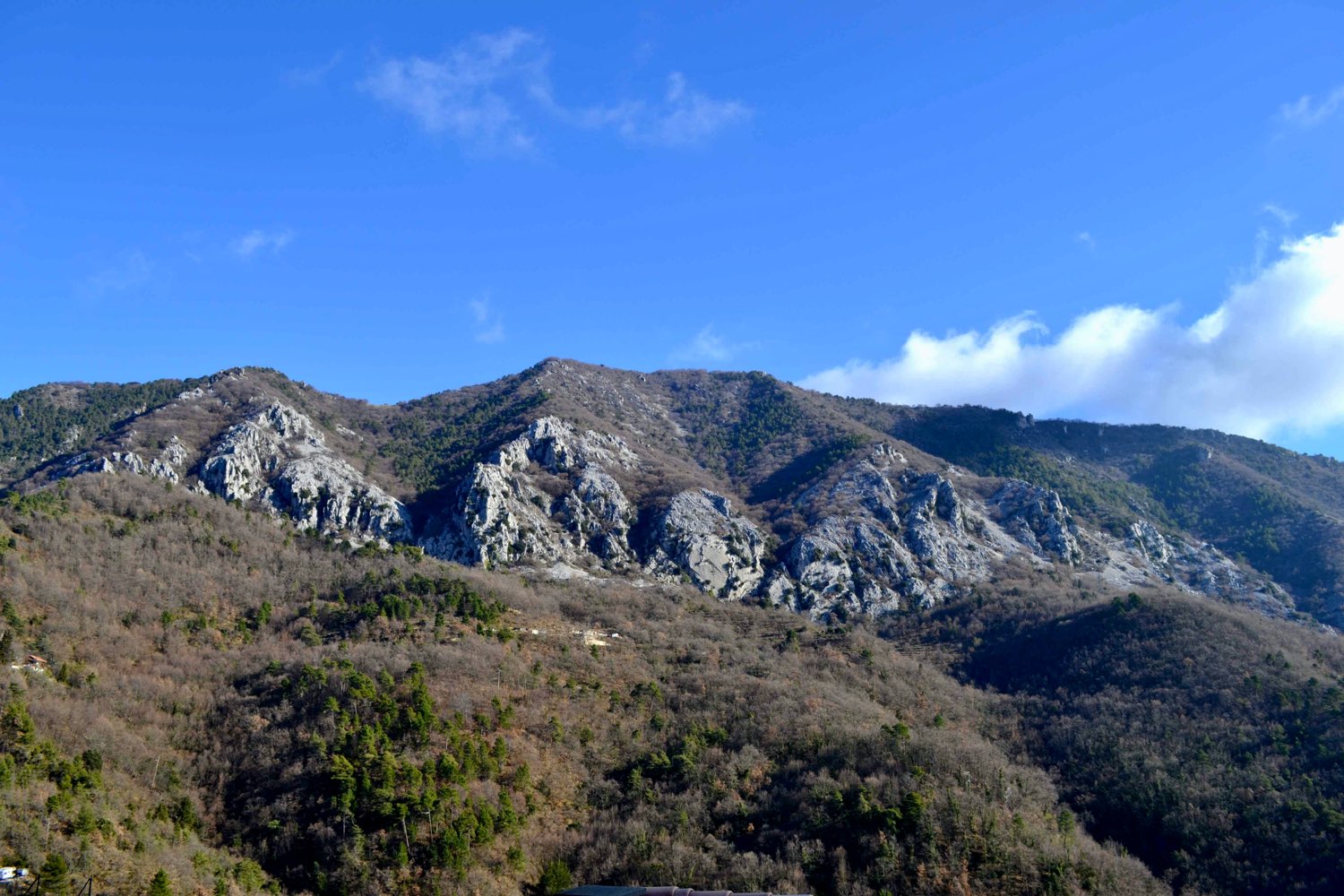
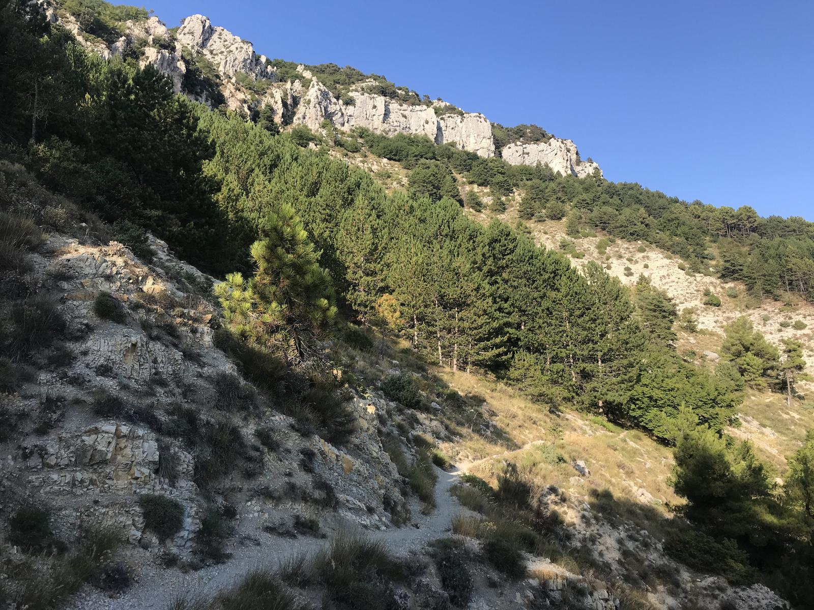
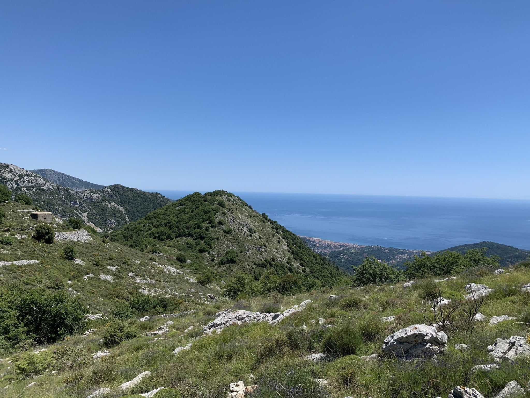
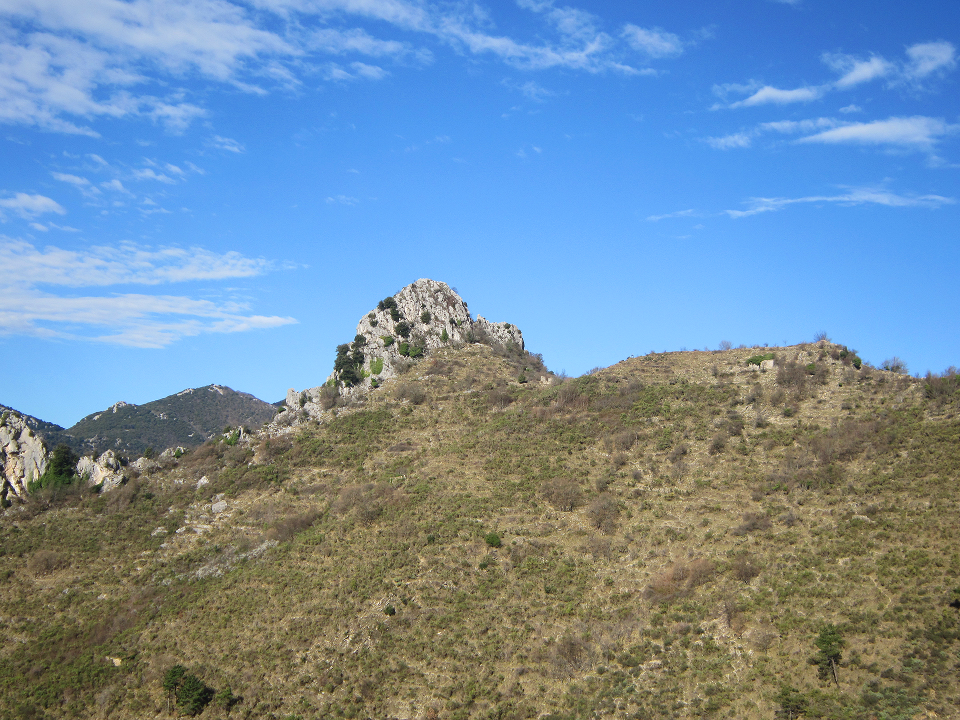
Round trip to the Grammondo summit which culminates at 1,379 meters above sea level. The trail passes through the Baisse de Faïche Fonda and the Colla Bassa which are part of the GR52. The panorama over Menton is spectacular.
Be careful, the ground is very rocky.

Already more than 200,000 users!
Uphill
1017m
Highest point
1377m
Downhill
1017m
Lowest point
354m
Route type
There and back
Download the map on your smartphone to save battery and rest assured to always keep access to the route, even without signal.
Includes IGN France and Swisstopo.
I indicate whether dogs are allowed or prohibited on this trail
All year
1 rating
Pas mal de montée en bitume au début, possibilité de monter un peu petit peu plus en voiture dans la direction du chemin avec des renforts pour se garer.
Also enjoy:

Already more than 200,000 users!