Uphill
196m
France > Provence-Alpes-Côte d'Azur > Alpes-Maritimes > Préalpes d'Azur Regional Natural Park
Length
5km
Duration
1h30min
Elev gain
196m
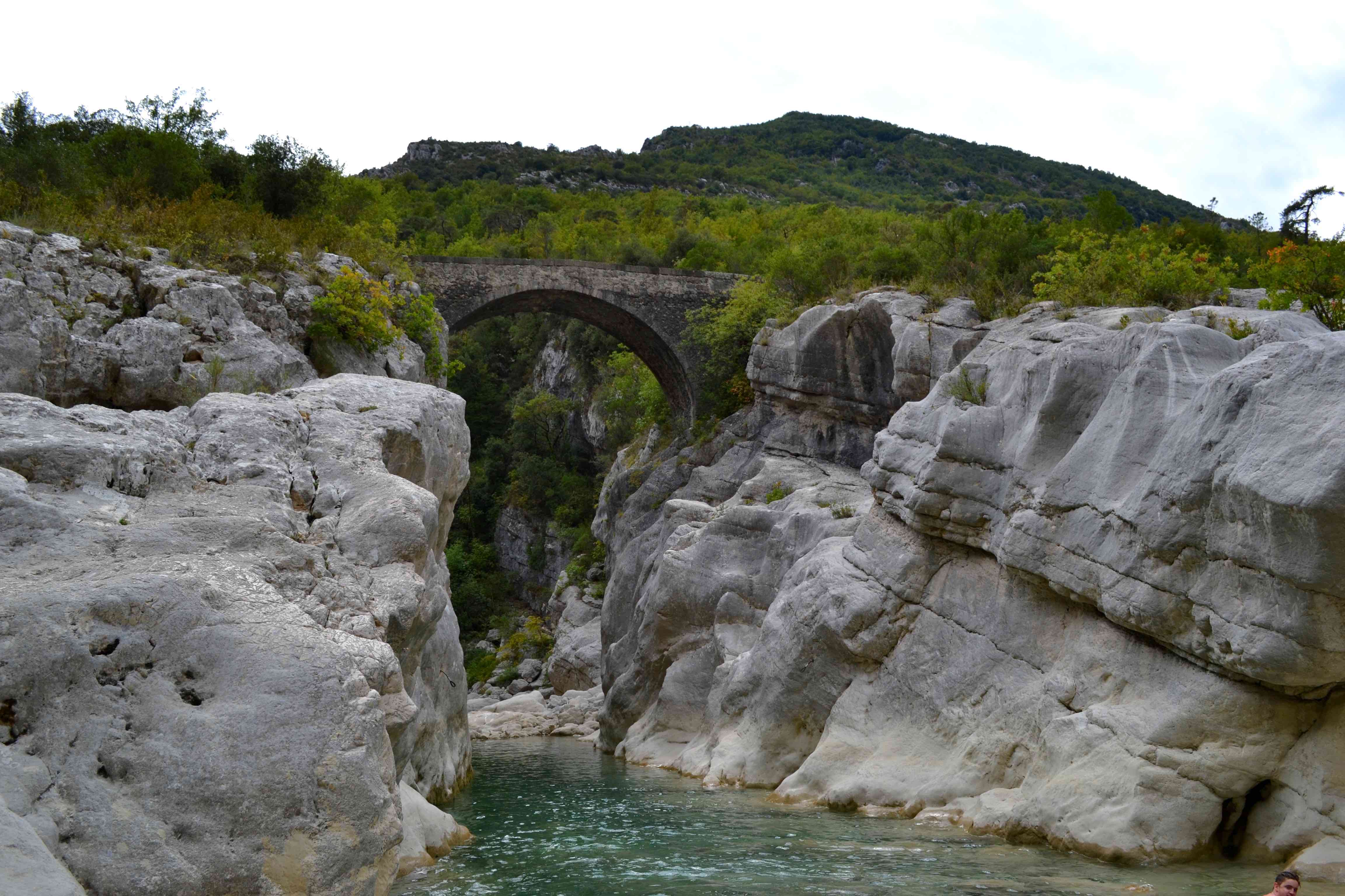
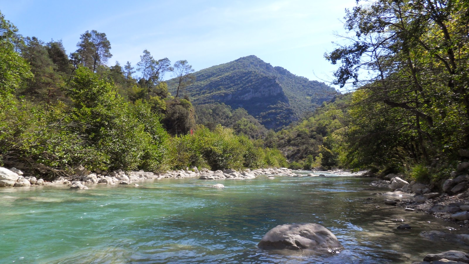
Close to Saint-Martin-du-Var, this hike is accessible to all. From the Pont de la Cerise, the view of the Estéron is spectacular.

Already more than 200,000 users!
Uphill
196m
Highest point
394m
Downhill
196m
Lowest point
192m
Route type
There and back
Download the map on your smartphone to save battery and rest assured to always keep access to the route, even without signal.
Includes IGN France and Swisstopo.
I indicate whether dogs are allowed or prohibited on this trail
All year
2 ratings
Also enjoy:

Already more than 200,000 users!