Uphill
815m
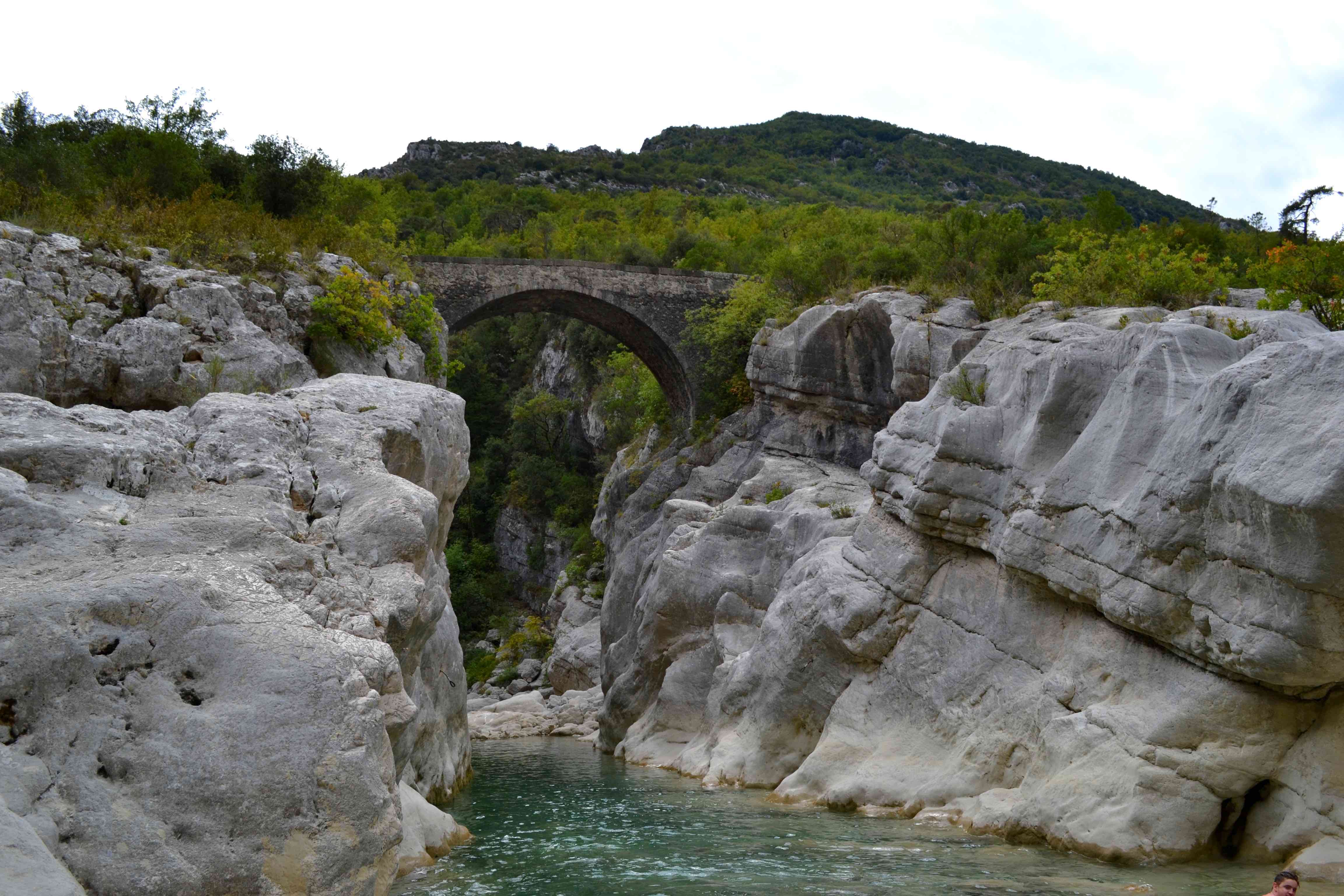
France > Provence-Alpes-Côte d'Azur > Alpes-Maritimes > Préalpes d'Azur Regional Natural Park
Length
15km
Duration
6h
Elev gain
815m
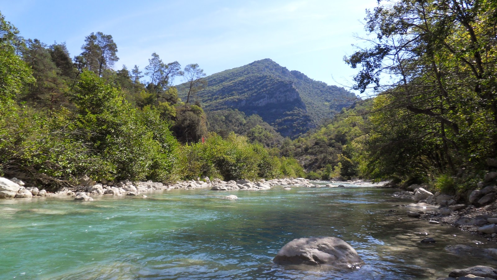
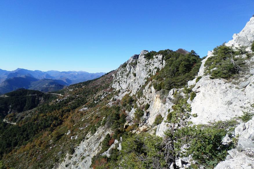
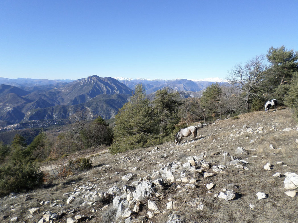
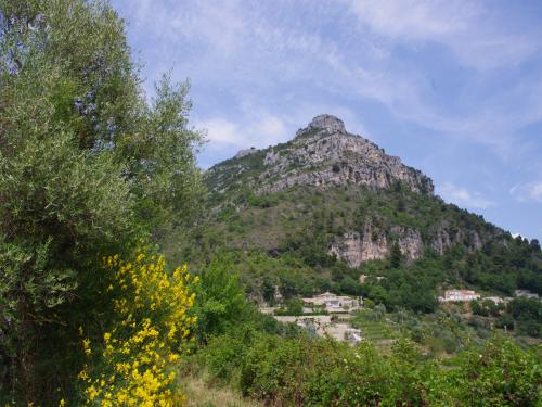
Departing from Gilette, this loop allows you to discover lovely views of the Estéron gorges, the medieval Cerise bridge, and the Oratory of Notre-Dame-du-Brec.

Already more than 200,000 users!
Uphill
815m
Highest point
465m
Downhill
815m
Lowest point
137m
Route type
Loop
Download the map on your smartphone to save battery and rest assured to always keep access to the route, even without signal.
Includes IGN France and Swisstopo.
I indicate whether dogs are allowed or prohibited on this trail
All year
0 ratings
Also enjoy:

Already more than 200,000 users!