Uphill
833m
Length
12km
Duration
6h
Elev gain
833m
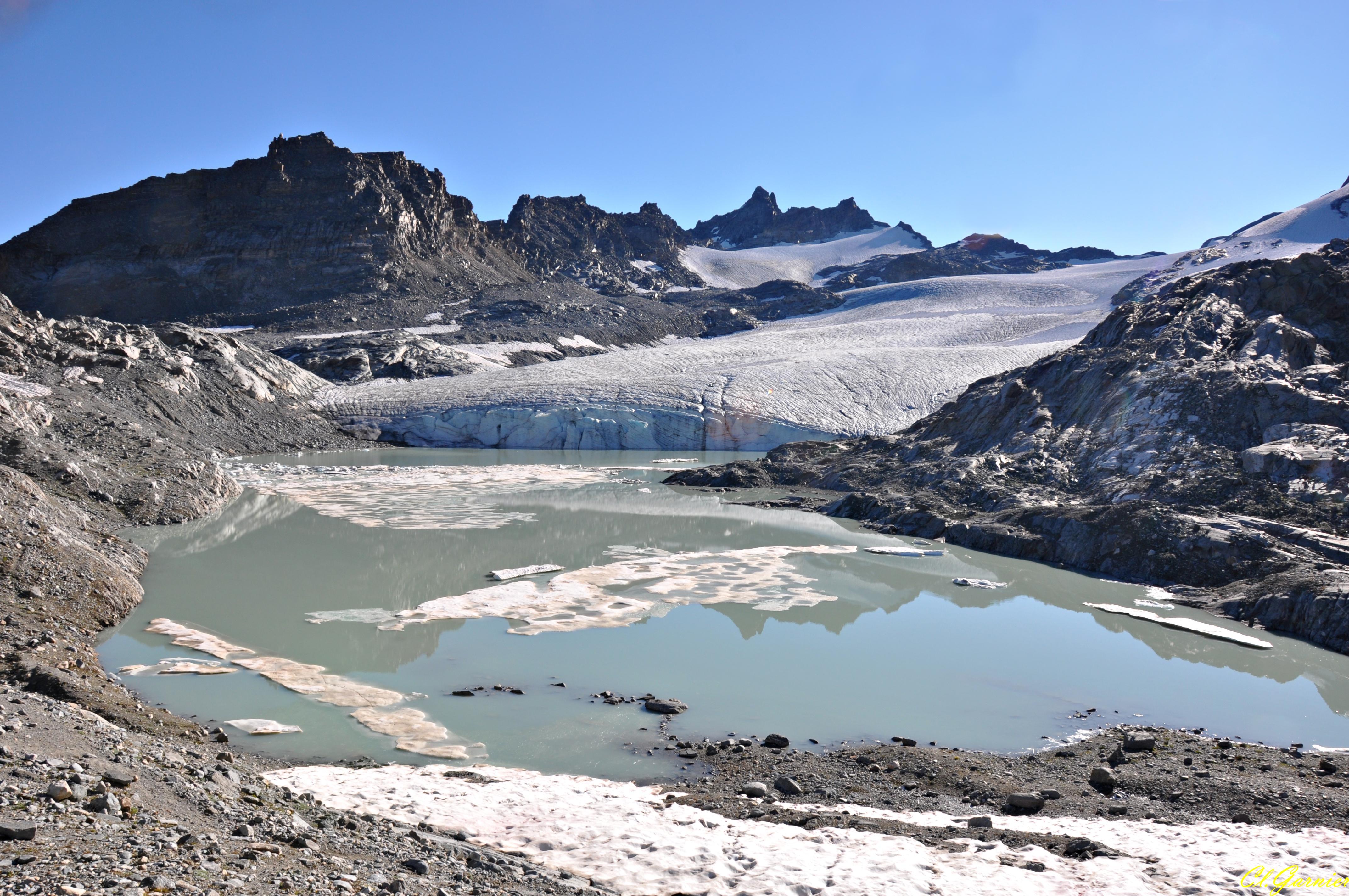
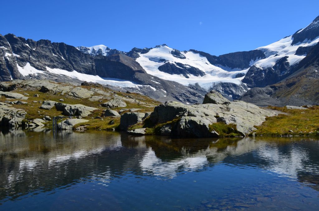
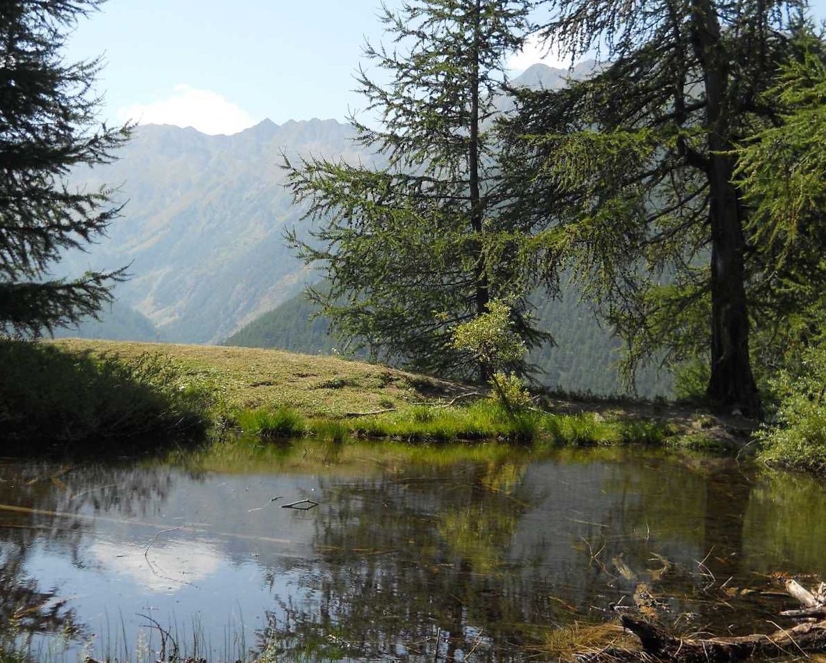
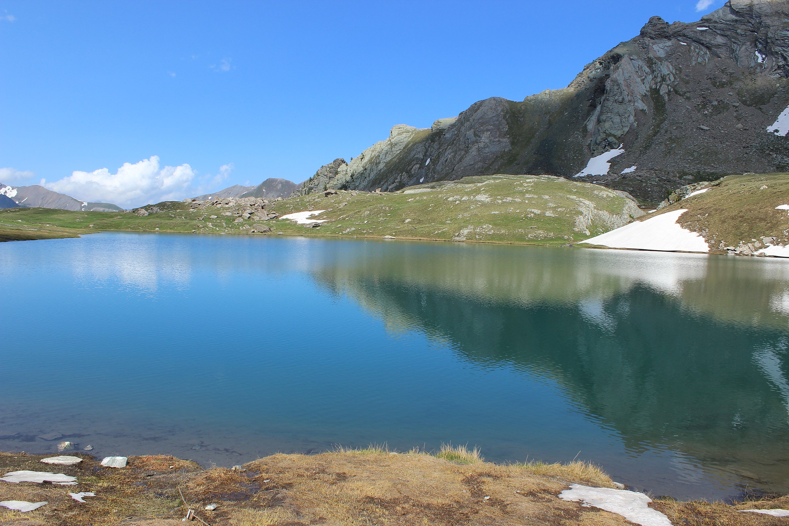
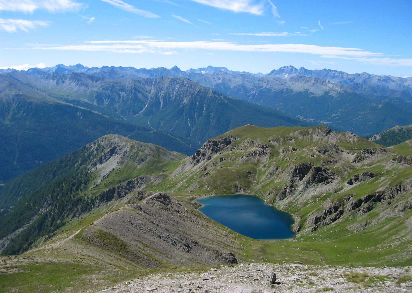
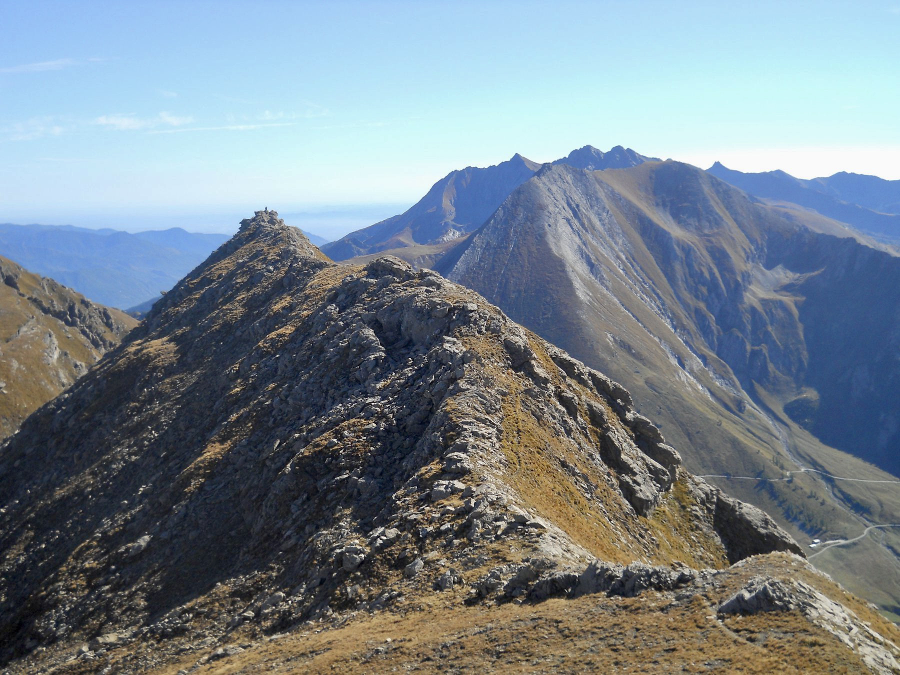
Departing from Colle delle Finestre, this trail leads to the Cima Ciantiplagna summit (2849 m). Nice view of the Susa valley and the Mont-Cenis lake.

Already more than 200,000 users!
Uphill
833m
Highest point
2839m
Downhill
833m
Lowest point
2168m
Route type
There and back
Download the map on your smartphone to save battery and rest assured to always keep access to the route, even without signal.
Includes IGN France and Swisstopo.
I indicate whether dogs are allowed or prohibited on this trail
From June to September
0 ratings
Also enjoy:

Already more than 200,000 users!