Uphill
1073m
Length
8km
Duration
6h30min
Elev gain
1073m
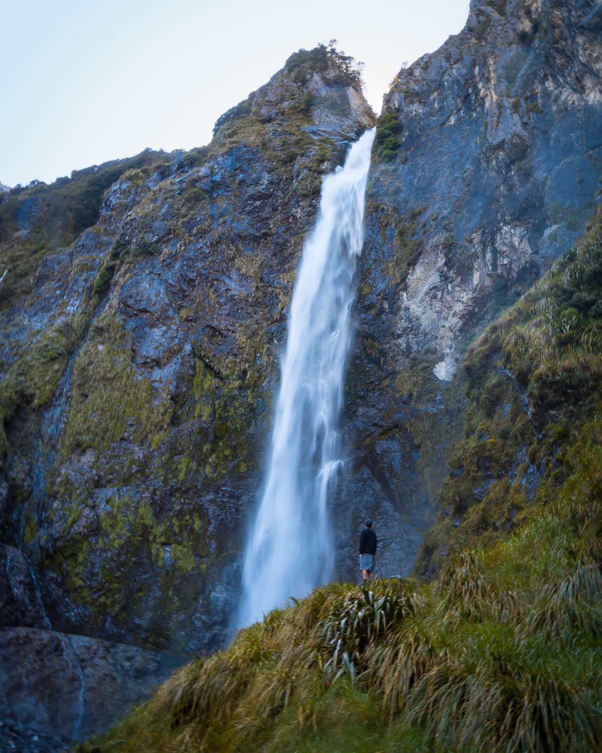
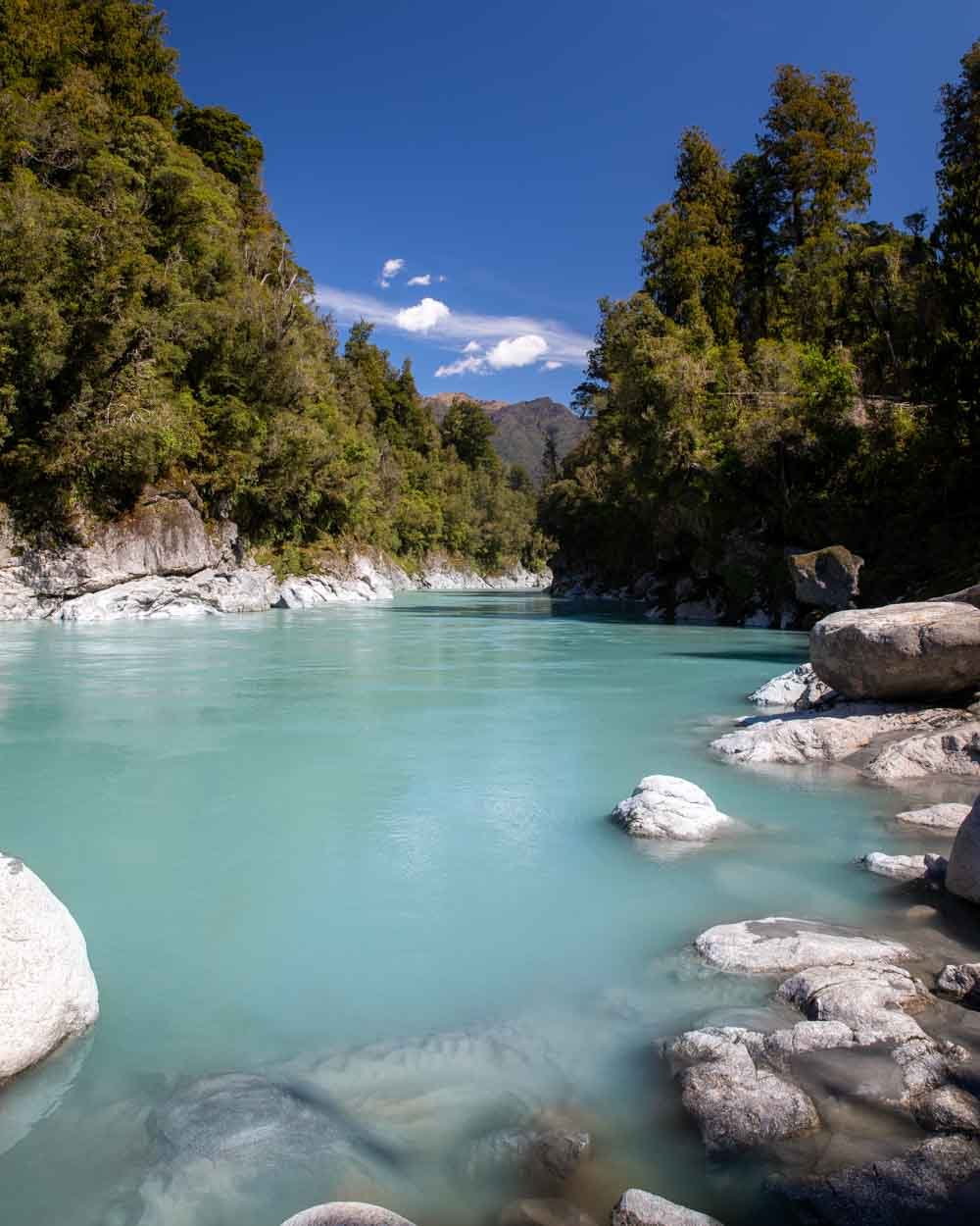
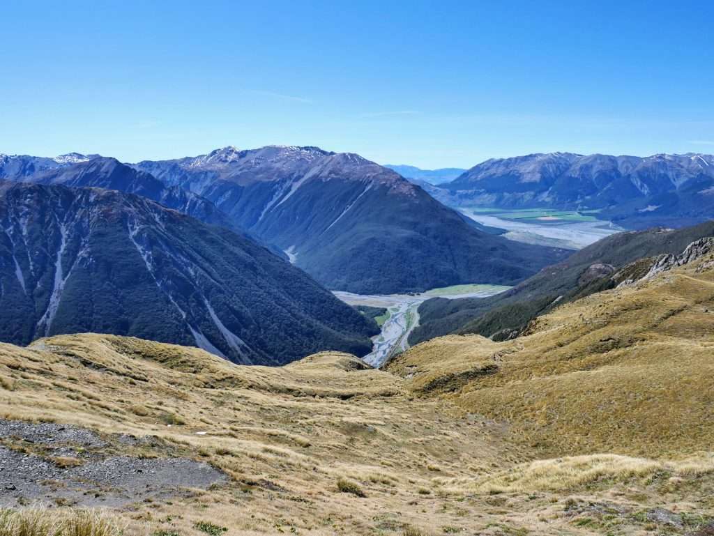
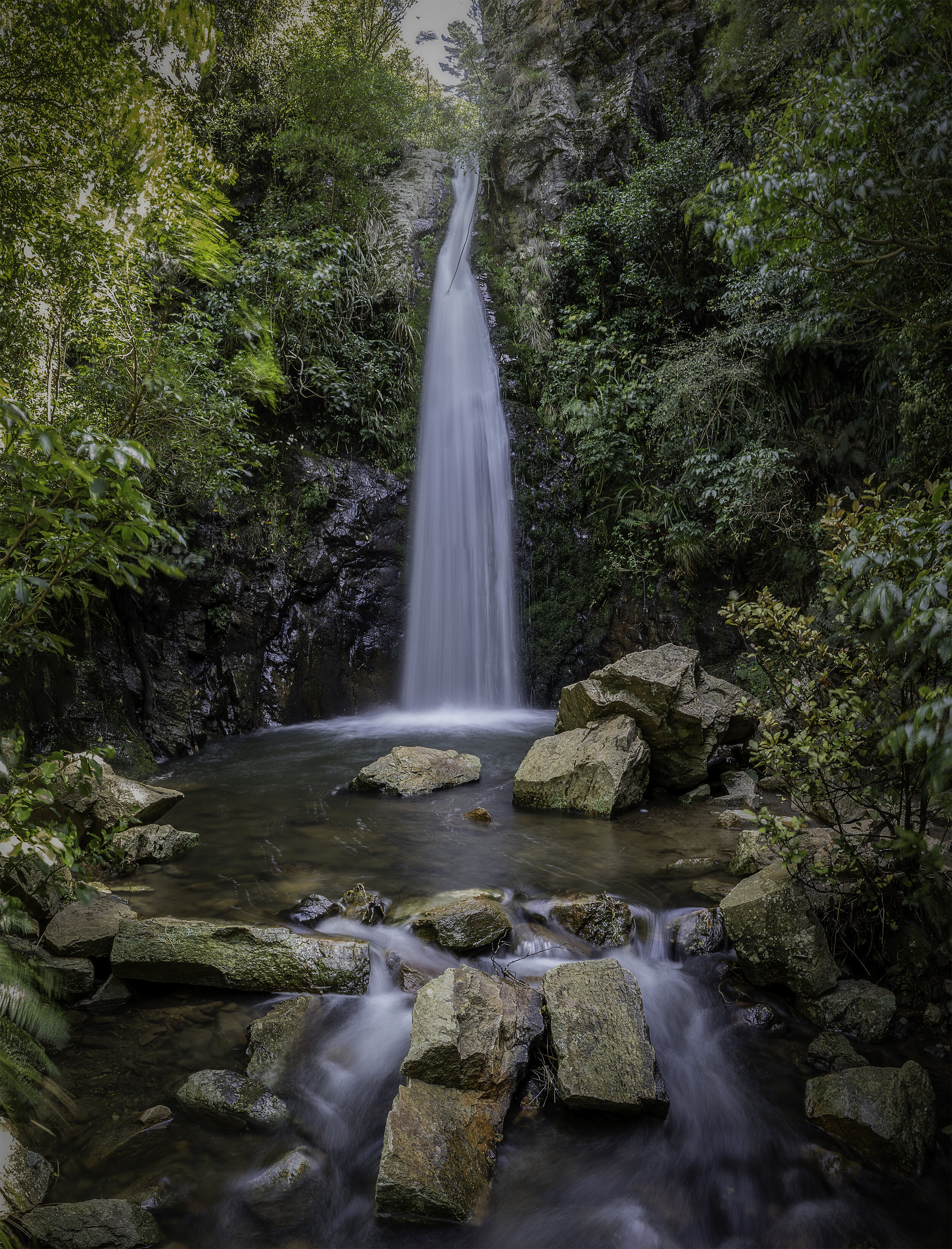
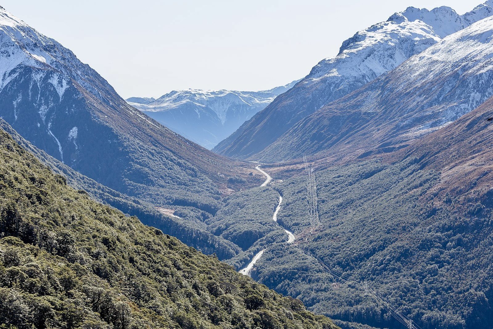
This is a magnificent loop hike in Arthur's Pass National Park, Northwest of Christchurch. The trail is a steep rocky climb, with passages that might require walkers to use their hands to climb. The mountainous landscapes are spectacular throughout the hike and the summit offers breathtaking vistas. The top is exposed and surrounded by abrupt cliffs.
This hike is in an avalanche prone zone and needs to be attempted only in the best meteorological conditions.

Already more than 200,000 users!
Uphill
1073m
Highest point
1803m
Downhill
1073m
Lowest point
731m
Route type
Loop
Download the map on your smartphone to save battery and rest assured to always keep access to the route, even without signal.
Includes IGN France and Swisstopo.
I indicate whether dogs are allowed or prohibited on this trail
All year
0 ratings
Also enjoy:

Already more than 200,000 users!