Uphill
242m
Length
5km
Duration
2h
Elev gain
242m
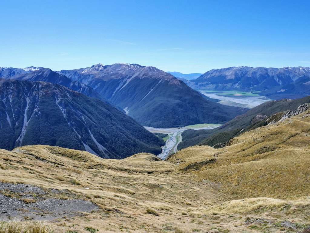
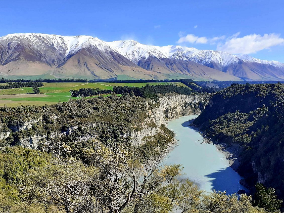
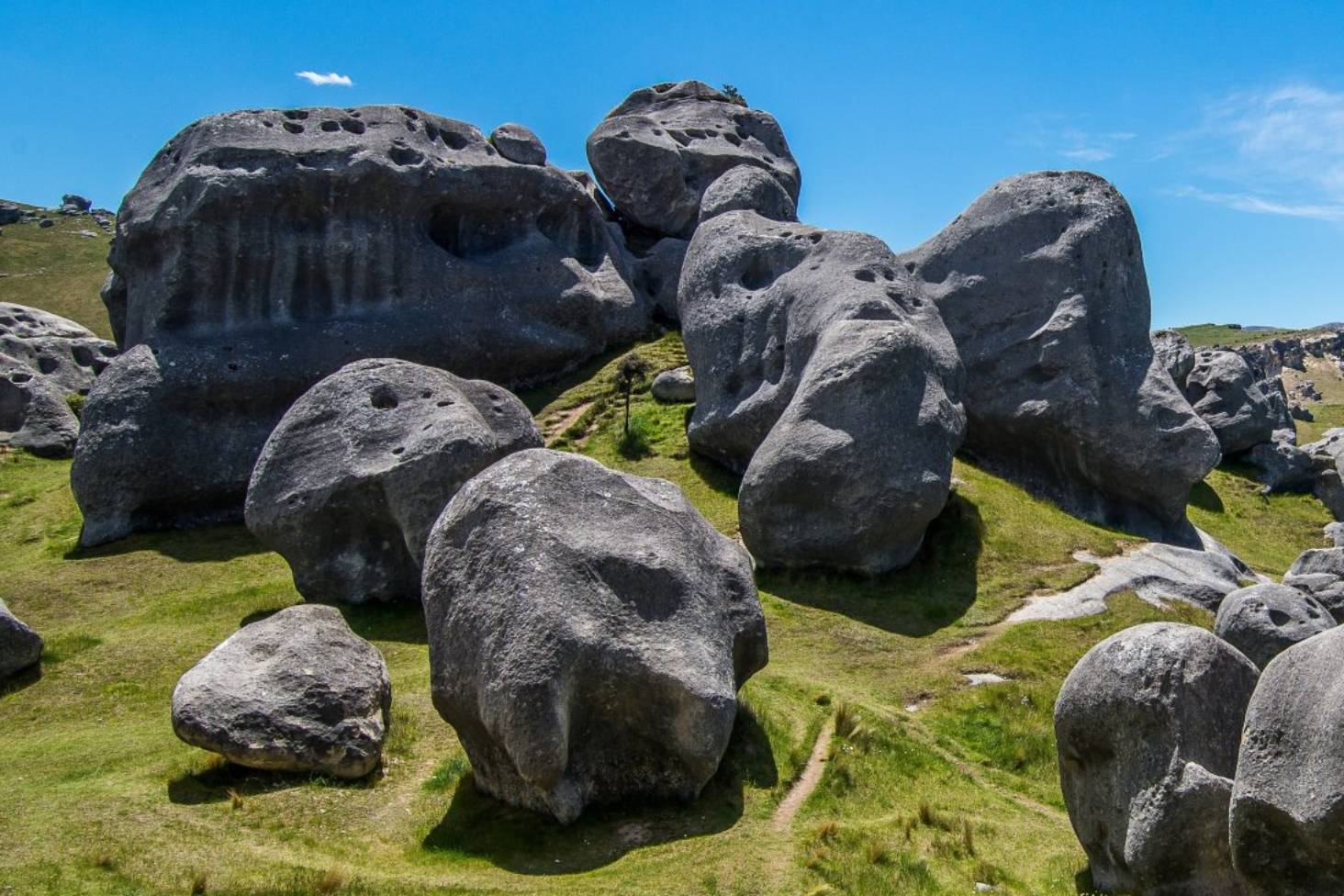
A very special loop starting at the bottom of Kura Tawhiti conservation area a bit more than an hour away from Christchurch. The trail begins at the Castle Hill car park and follows a moderately inclined trail to castle Hill. The rock formations are particularly numerous and impressive, the boulders dotting the land are oddly shaped, some even seem to fold like fabric. The trail is surrounded by beautiful mountain views all around as well.

Already more than 200,000 users!
Uphill
242m
Highest point
909m
Downhill
242m
Lowest point
731m
Route type
Loop
Download the map on your smartphone to save battery and rest assured to always keep access to the route, even without signal.
Includes IGN France and Swisstopo.
I indicate whether dogs are allowed or prohibited on this trail
Can be difficult in Winter
0 ratings
Also enjoy:

Already more than 200,000 users!