Uphill
1166m
Length
27km
Duration
9h30min
Elev gain
1166m
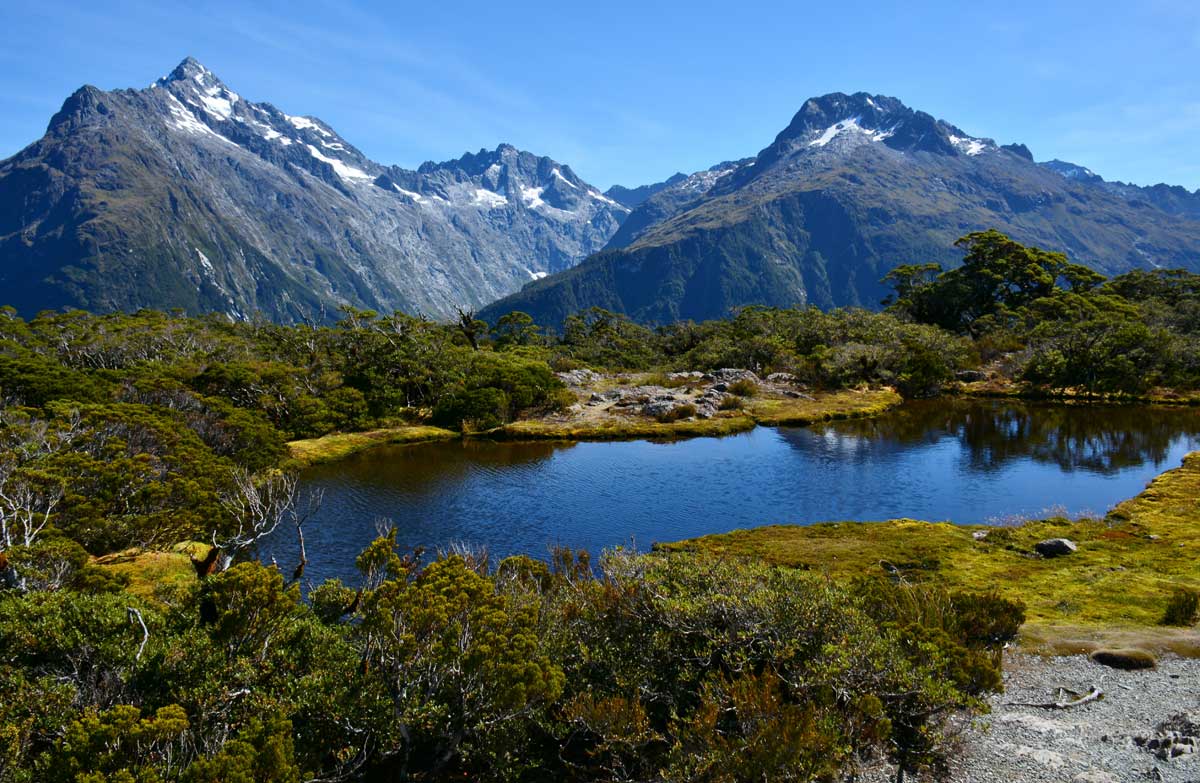
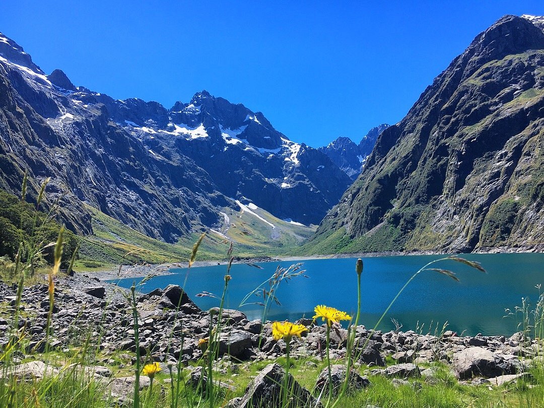
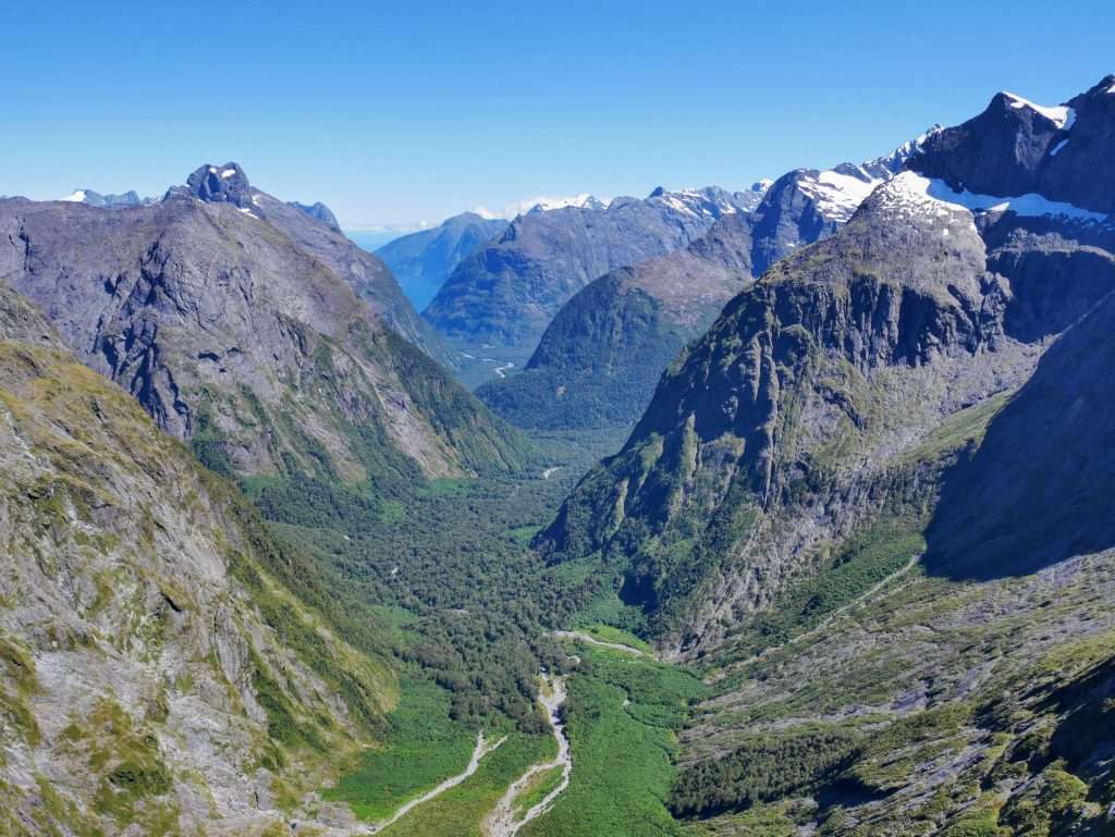
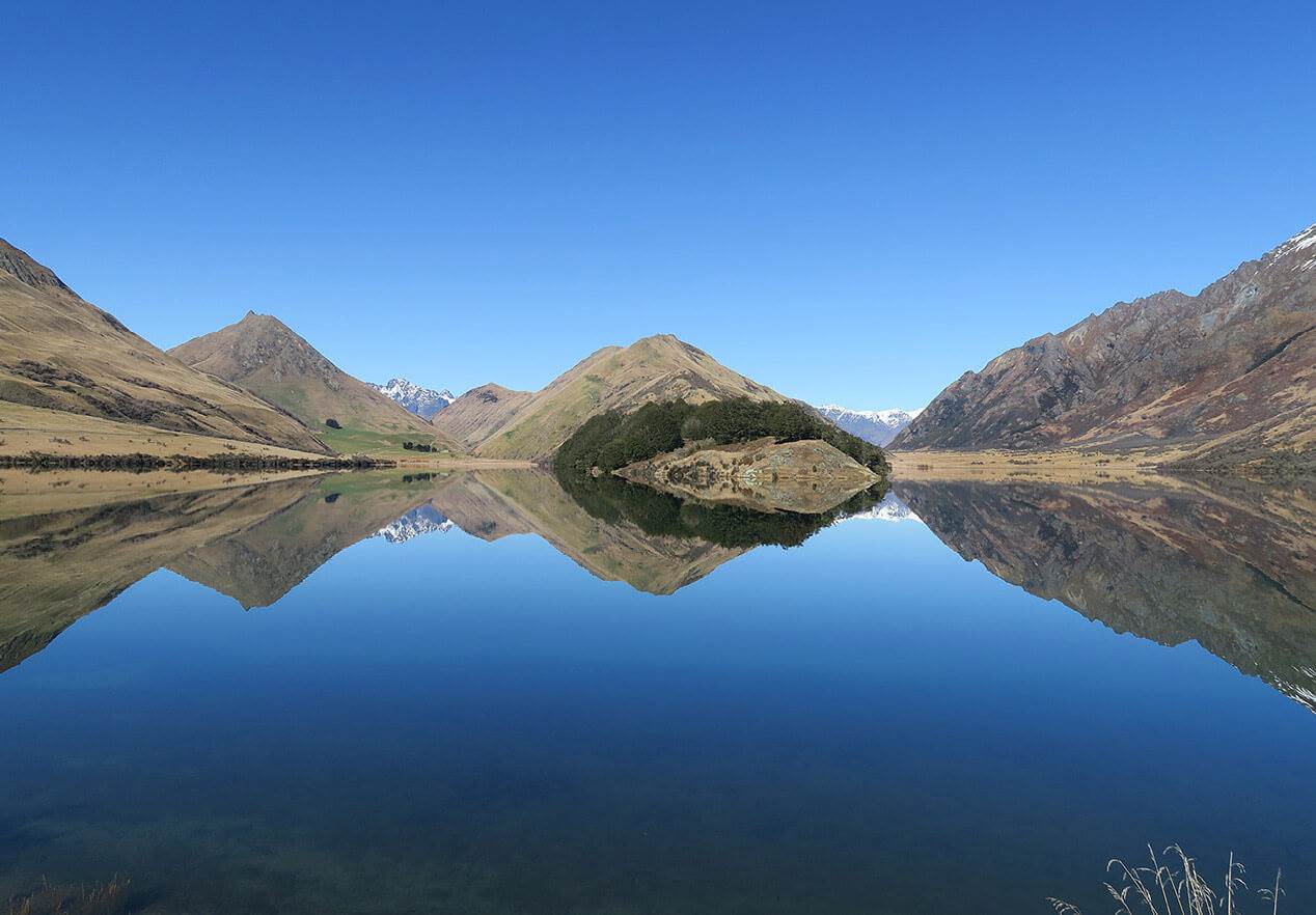
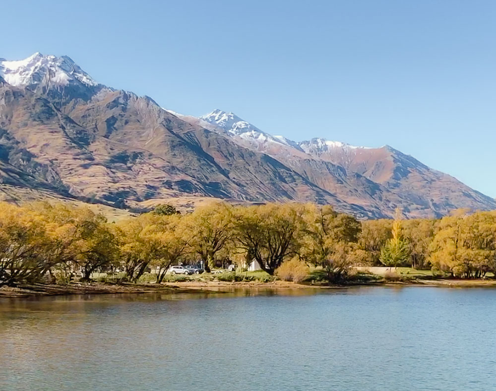
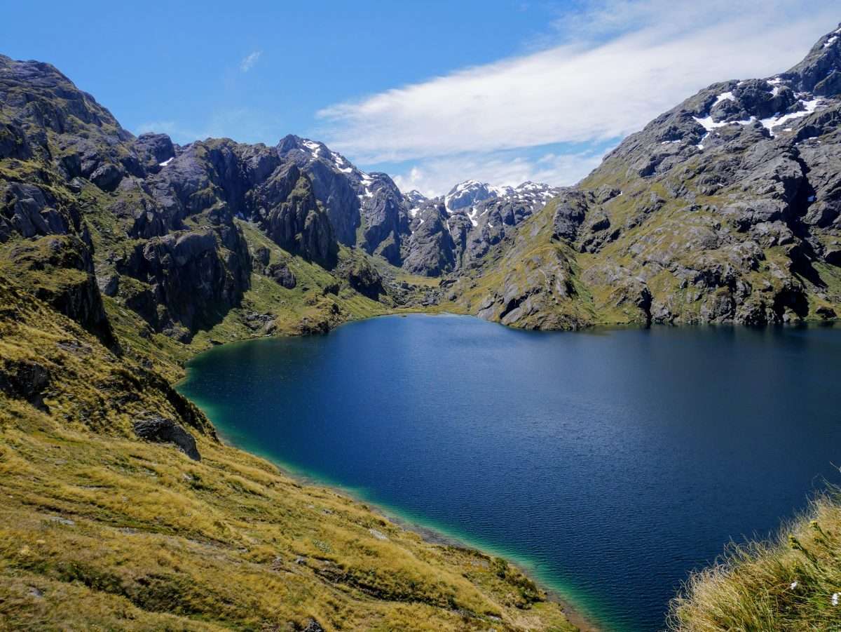
This is a difficult there-and-back track on the iconic Routeburn track to Lake Harris in Mount Aspiring National Park. The track can be steep and narrow at times but oh so beautiful all the way up. The views are immaculate, be it on the mountains, the rivers, the snowy peaks and lakes, this is a very special and beautiful trail. The Harris Saddle Shelter is a little bit to the side of the track and can be a good option to rest the night.

Already more than 200,000 users!
Uphill
1166m
Highest point
1310m
Downhill
1166m
Lowest point
471m
Route type
There and back
Download the map on your smartphone to save battery and rest assured to always keep access to the route, even without signal.
Includes IGN France and Swisstopo.
I indicate whether dogs are allowed or prohibited on this trail
All year
0 ratings
Also enjoy:

Already more than 200,000 users!