Uphill
172m
Length
7km
Duration
2h
Elev gain
172m
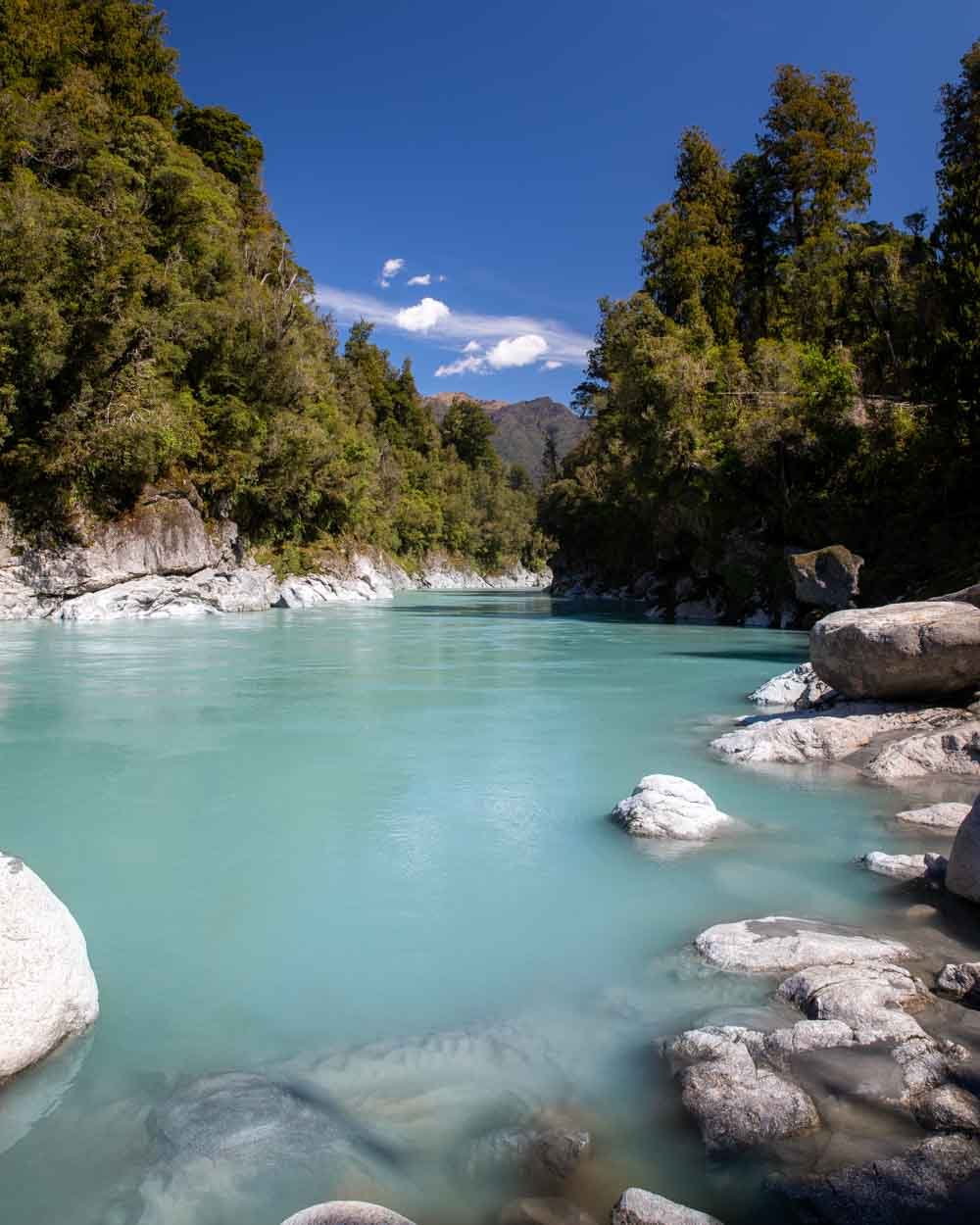
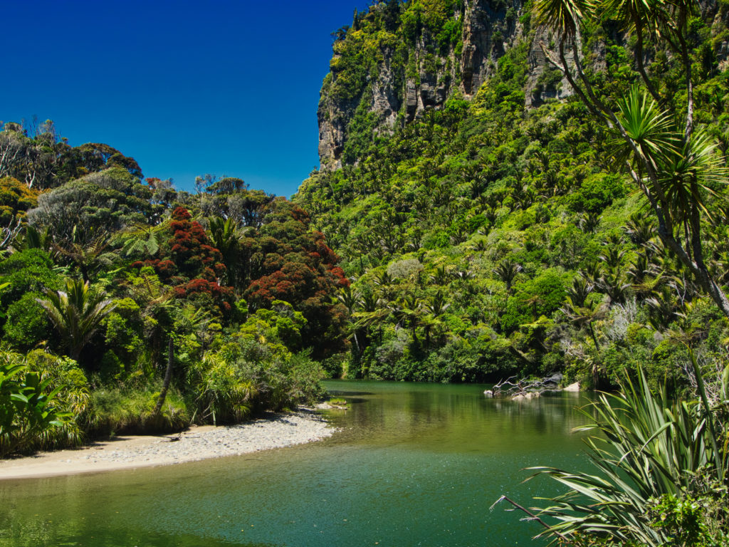
A spectacular there-and-back hike along the Pororari River in the Paparoa National Park. The path winds in the tropical forest following the bends of the river. An amazing steep rock face is visible above the riverside with lush vegetation slowly colonising these new heights. The track is flat and leads to an amazing viewpoint on the river.

Already more than 200,000 users!
Uphill
172m
Highest point
69m
Downhill
172m
Lowest point
8m
Route type
There and back
Download the map on your smartphone to save battery and rest assured to always keep access to the route, even without signal.
Includes IGN France and Swisstopo.
I indicate whether dogs are allowed or prohibited on this trail
All year
0 ratings
Also enjoy:

Already more than 200,000 users!