Uphill
331m
Length
10km
Duration
3h30min
Elev gain
331m
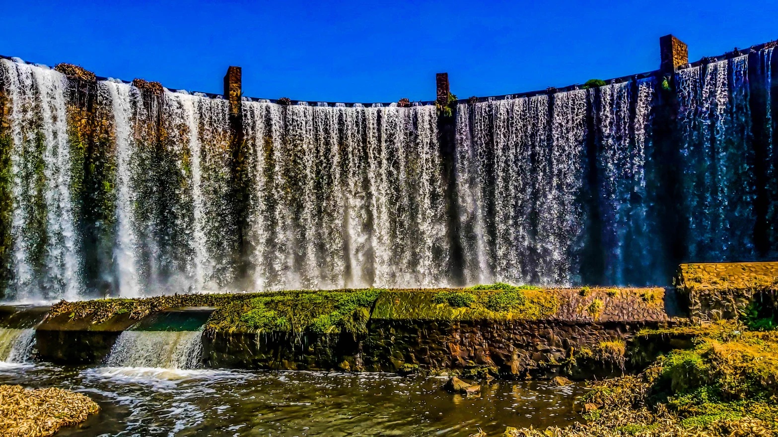
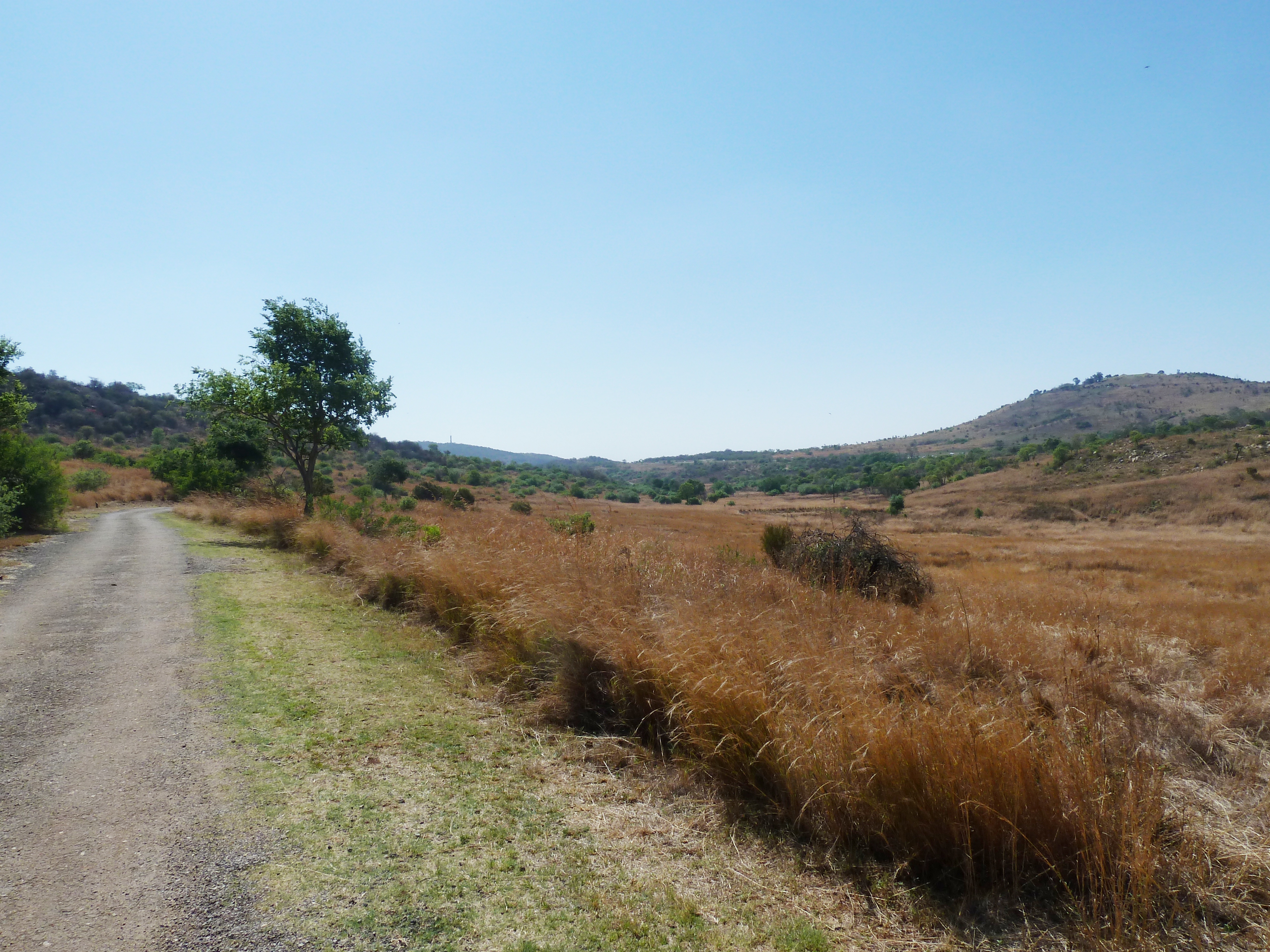
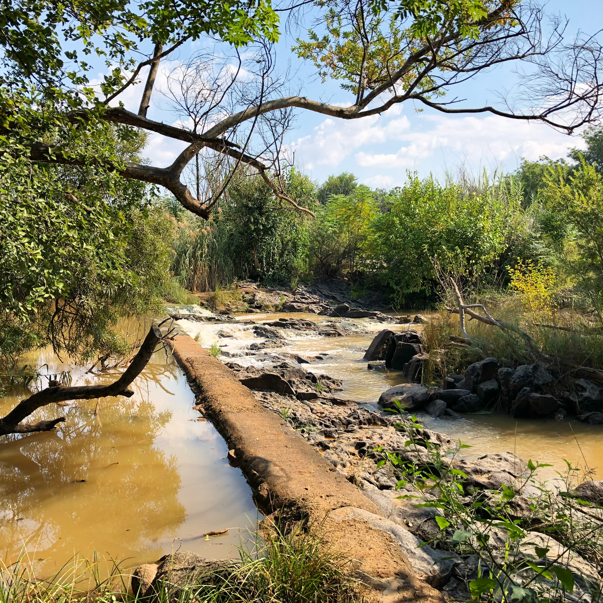
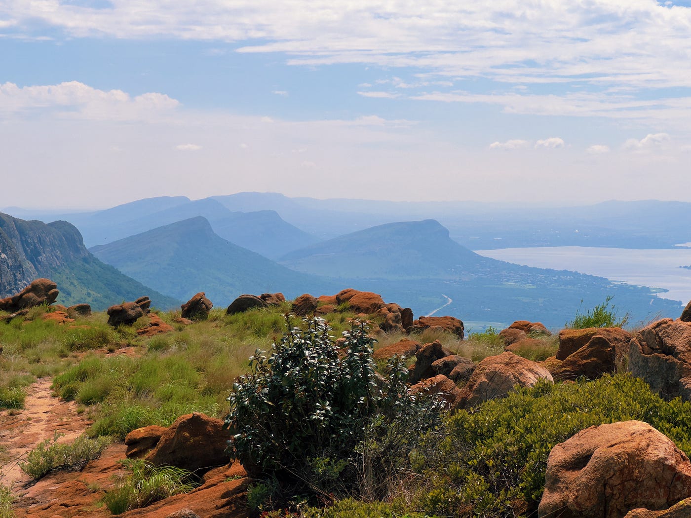
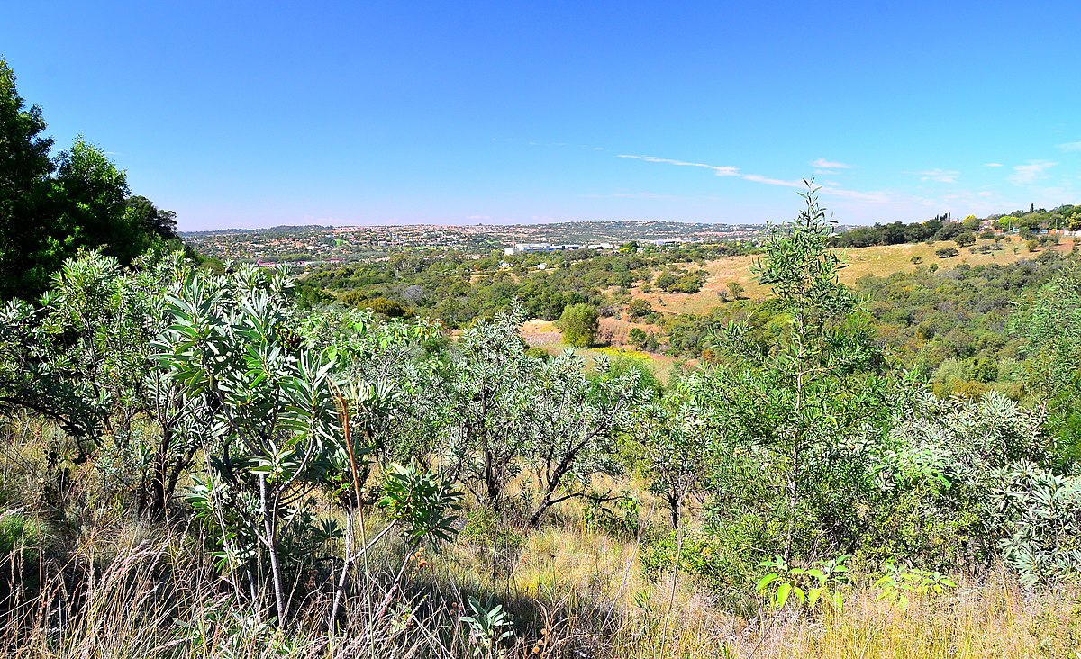
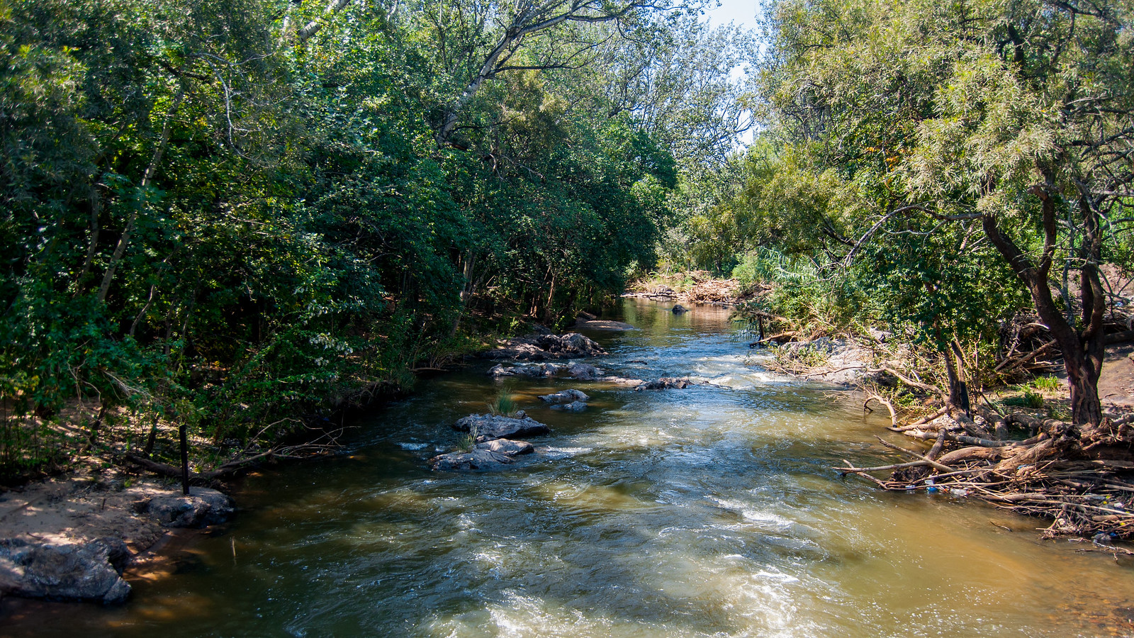
This is a lovely loop in the Hennops hiking area following the Krokodilberg Route, a bit more than half an hour away from Pretoria. The trail is moderate and is packed with fun features like suspension bridges to cross rivers, a tire ladder and a cable car, which will keep little ones entertained. The terrain can be a little rocky at times. The views on the river and hilly fields around are wonderful and add to the walk’s natural charm.

Already more than 200,000 users!
Uphill
331m
Highest point
1495m
Downhill
331m
Lowest point
1283m
Route type
Loop
Download the map on your smartphone to save battery and rest assured to always keep access to the route, even without signal.
Includes IGN France and Swisstopo.
I indicate whether dogs are allowed or prohibited on this trail
All year
1 rating
Also enjoy:

Already more than 200,000 users!