Uphill
159m
Length
12km
Duration
3h30min
Elev gain
159m
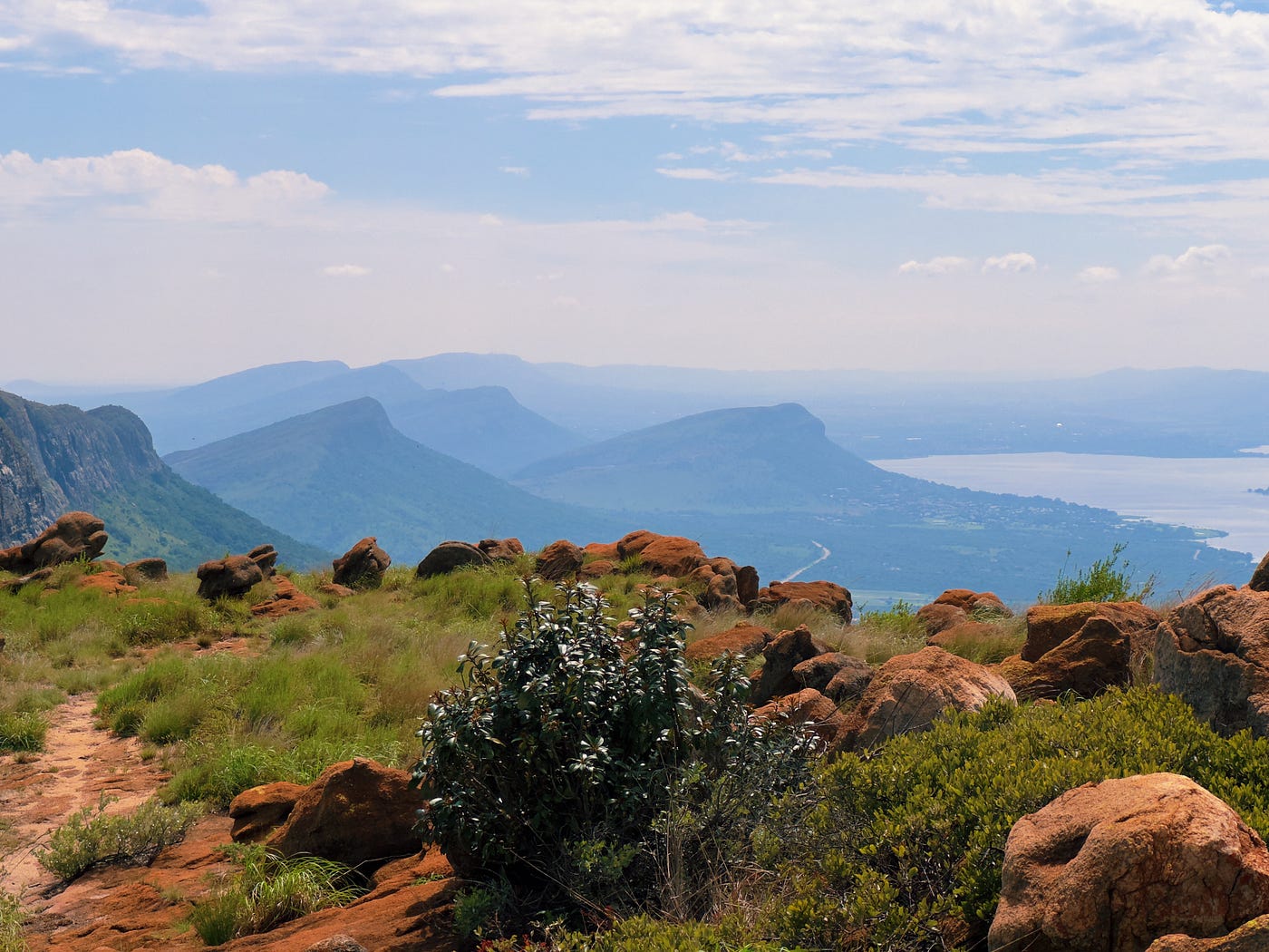
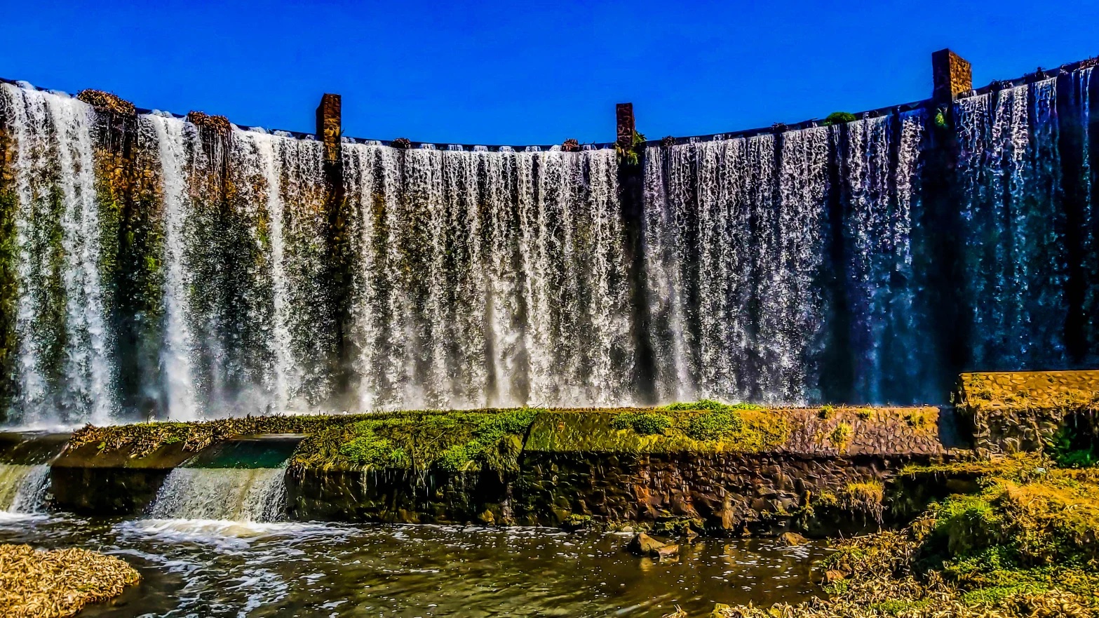
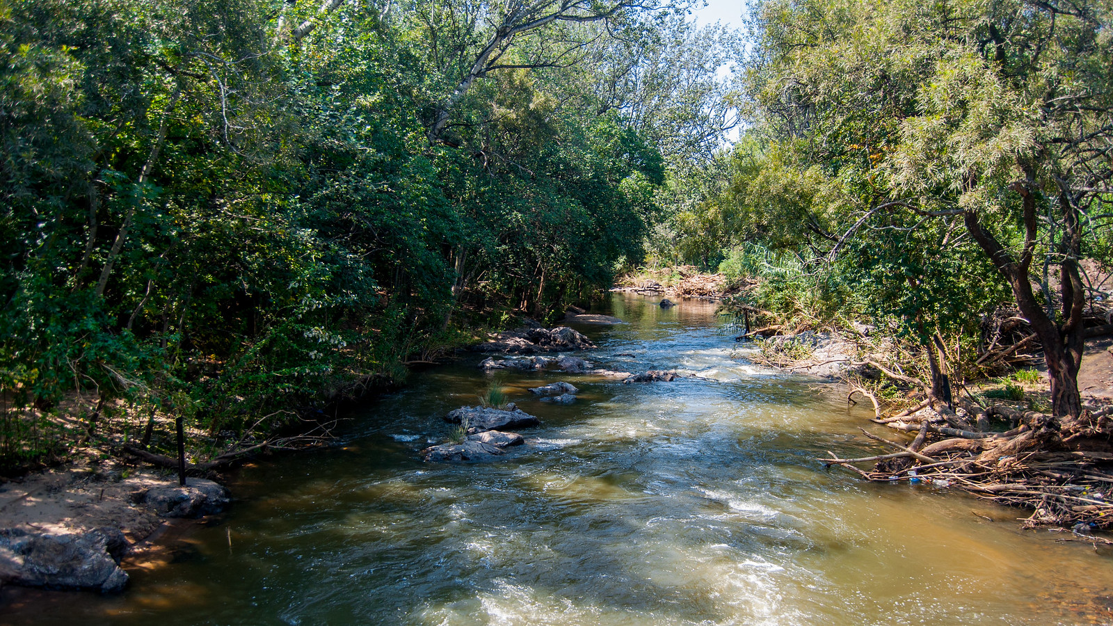
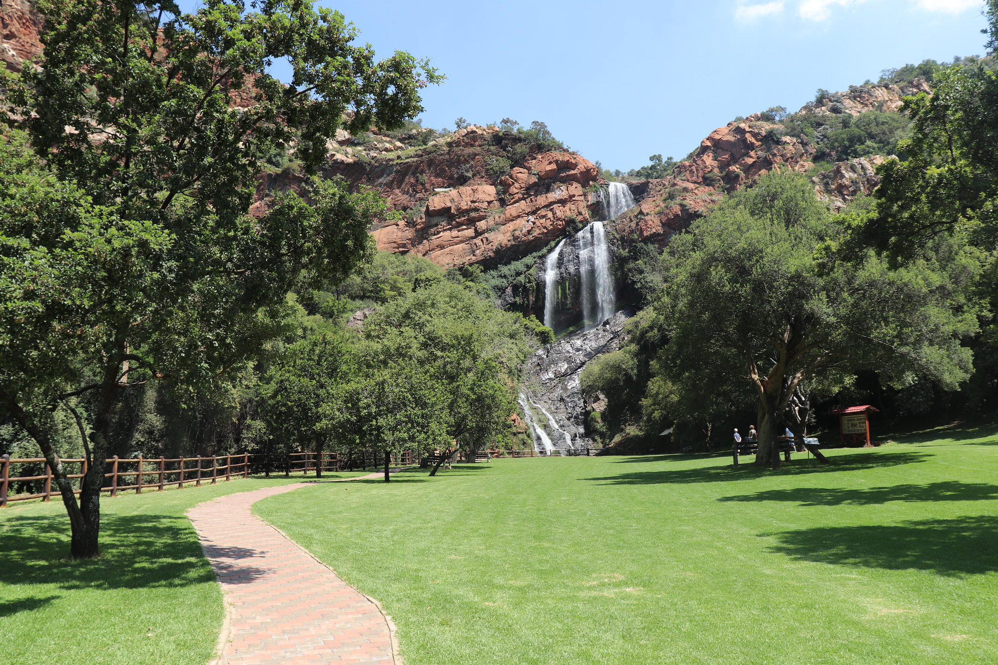
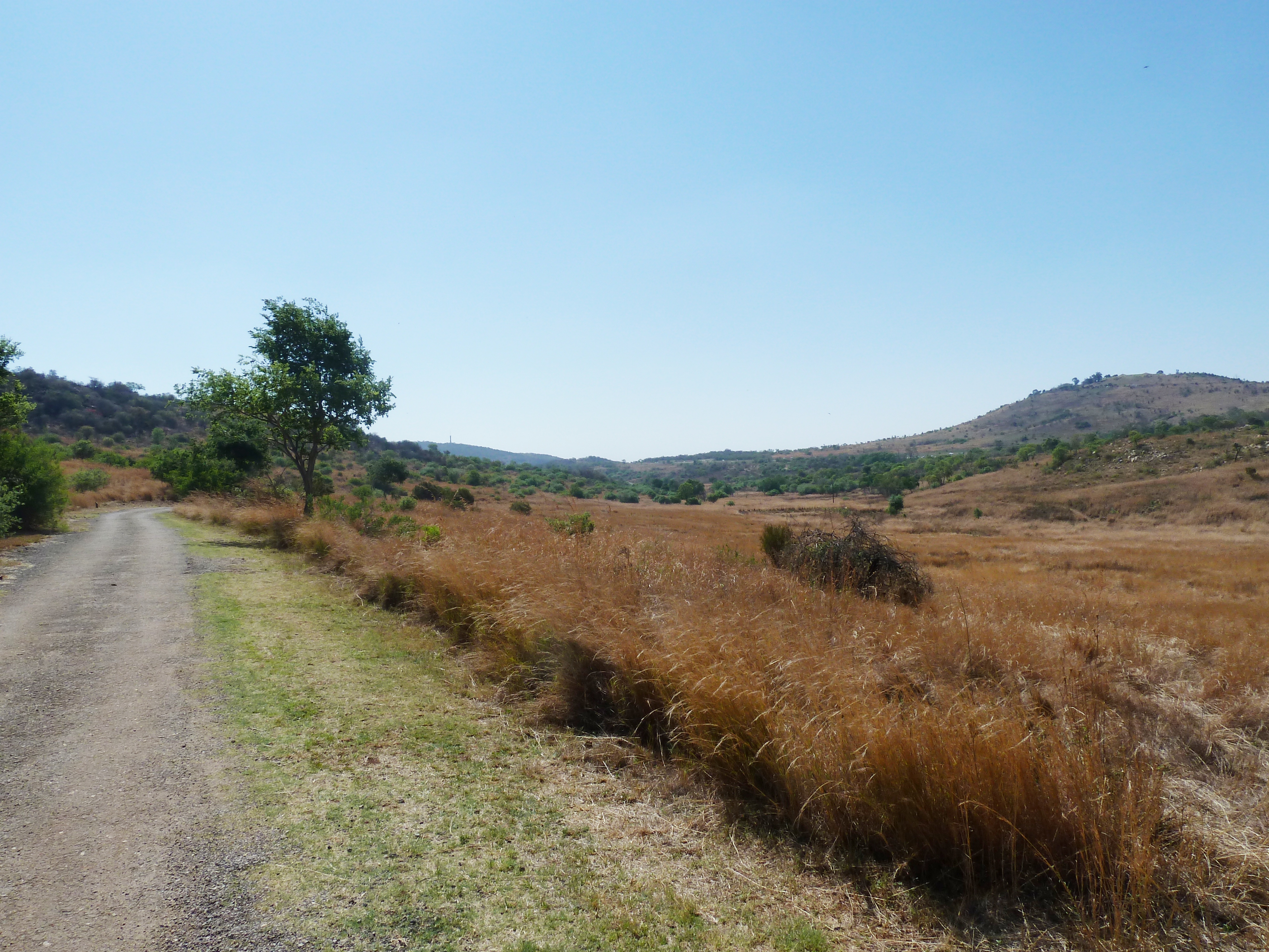
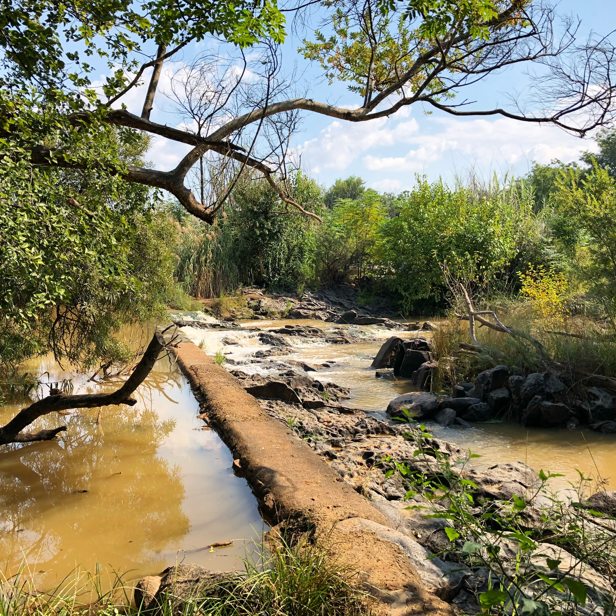
This is a lovely loop along the Van Gaalen River Trail, just under an hour from Pretoria. The trail is long but well-maintained and relatively flat. Hikers might have to share the path with runners and bicycles. The views on the river and the surrounding farms are quaint and serene. There are numerous birds flying around, making the hike a great place for birdwatching.

Already more than 200,000 users!
Uphill
159m
Highest point
1211m
Downhill
159m
Lowest point
1173m
Route type
Loop
Download the map on your smartphone to save battery and rest assured to always keep access to the route, even without signal.
Includes IGN France and Swisstopo.
I indicate whether dogs are allowed or prohibited on this trail
All year
0 ratings
Also enjoy:

Already more than 200,000 users!