Uphill
365m
Length
9km
Duration
3h30min
Elev gain
365m
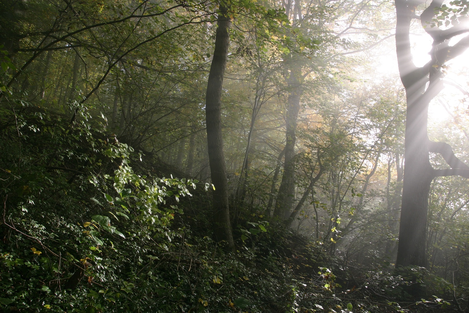
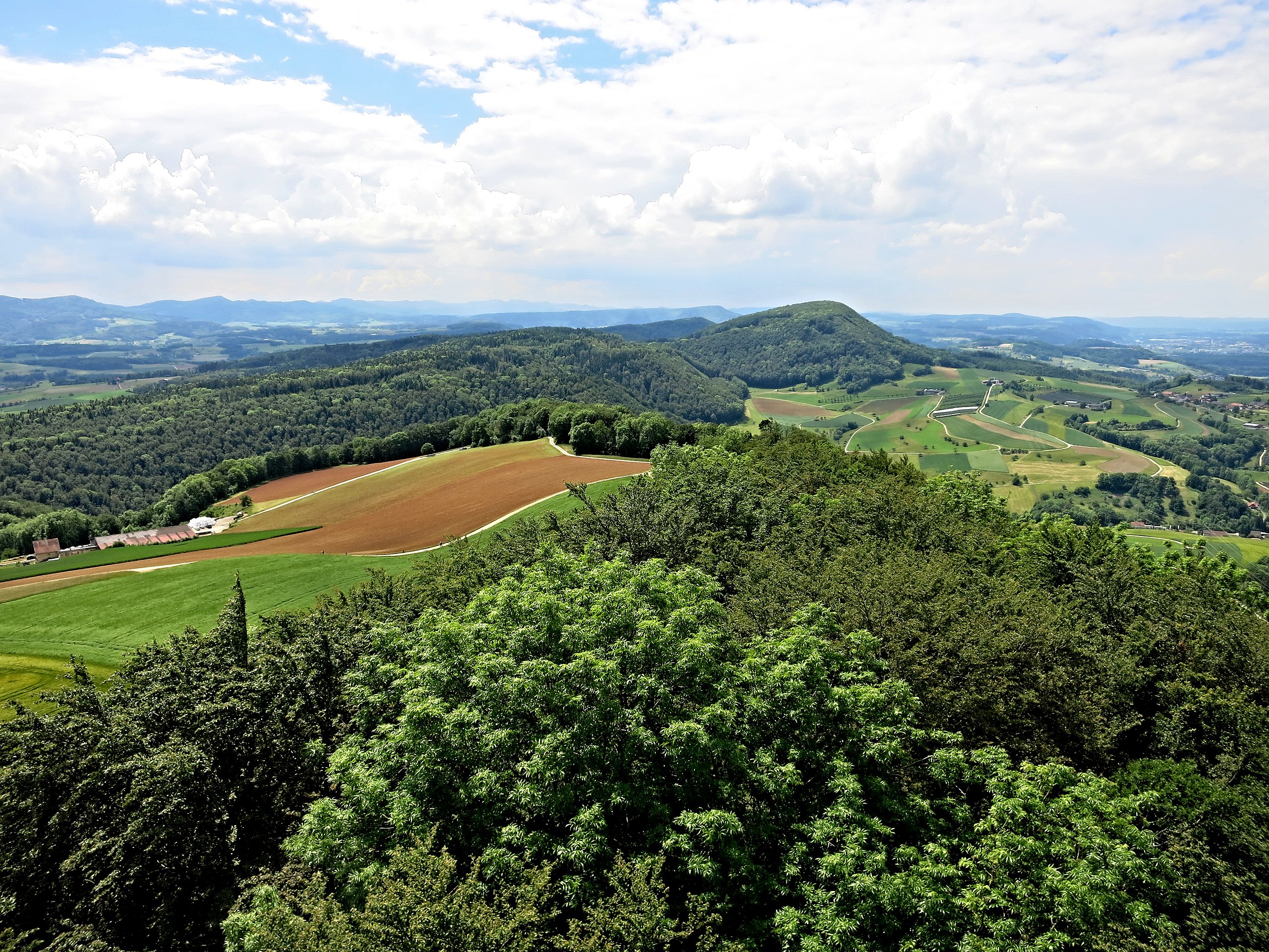
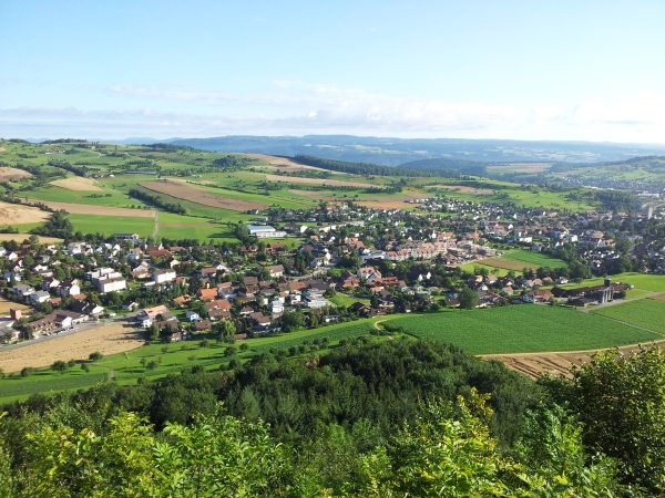
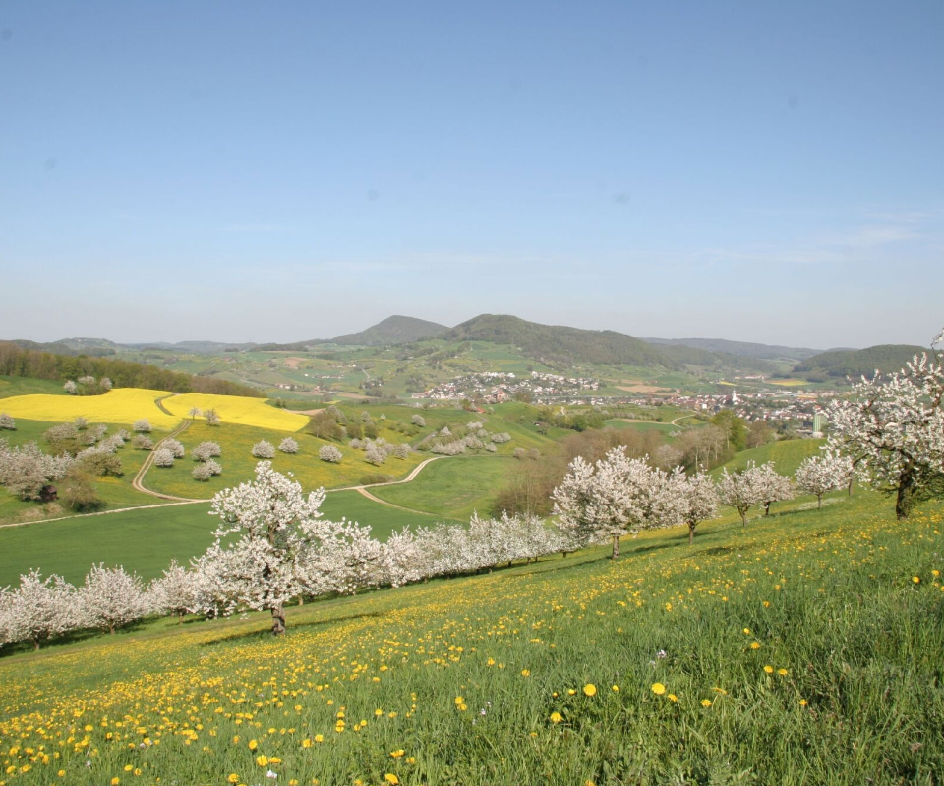
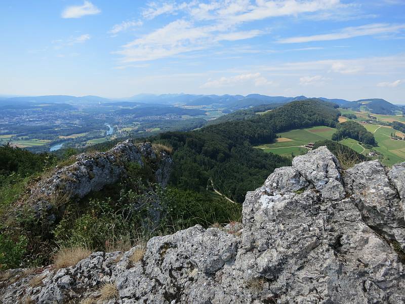
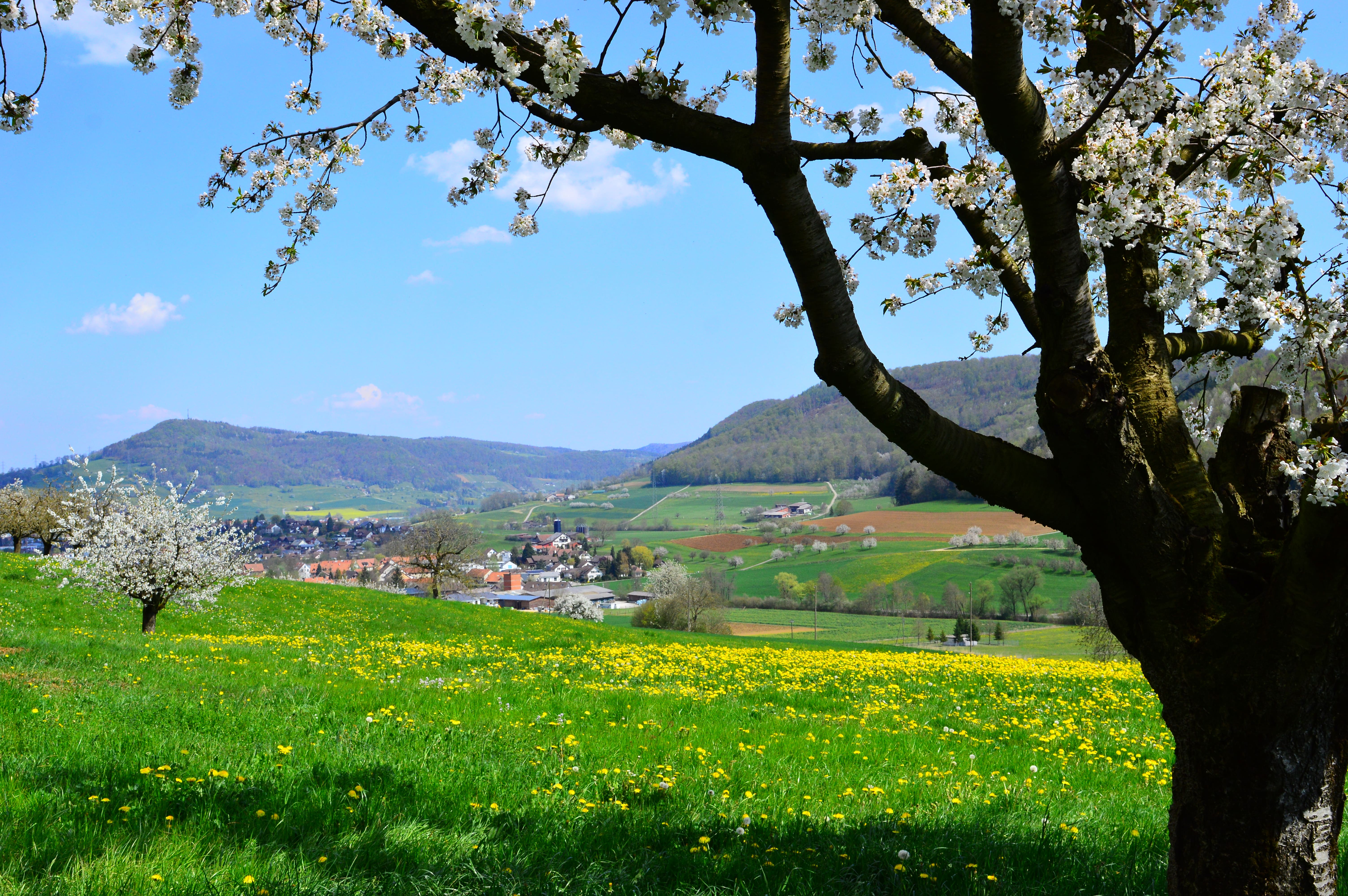
Short hike in the Frick valley, between fields and forests. The route makes a nice loop on various and varied paths, which also offer superb views of the surroundings.

Already more than 200,000 users!
Uphill
365m
Highest point
795m
Downhill
365m
Lowest point
467m
Route type
Loop
Download the map on your smartphone to save battery and rest assured to always keep access to the route, even without signal.
Includes IGN France and Swisstopo.
I indicate whether dogs are allowed or prohibited on this trail
All year
0 ratings
Also enjoy:

Already more than 200,000 users!