Uphill
234m
Length
11km
Duration
3h30min
Elev gain
234m
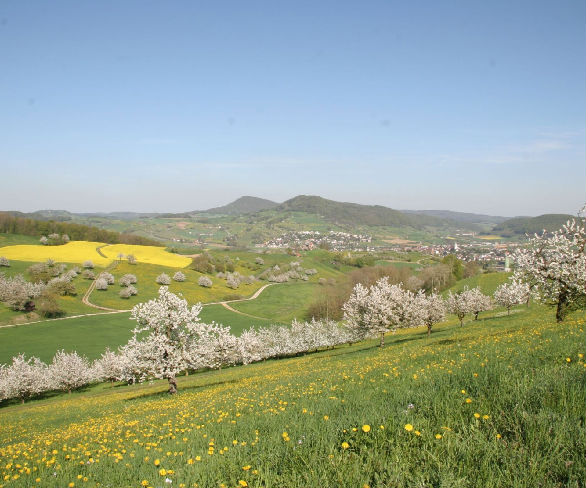
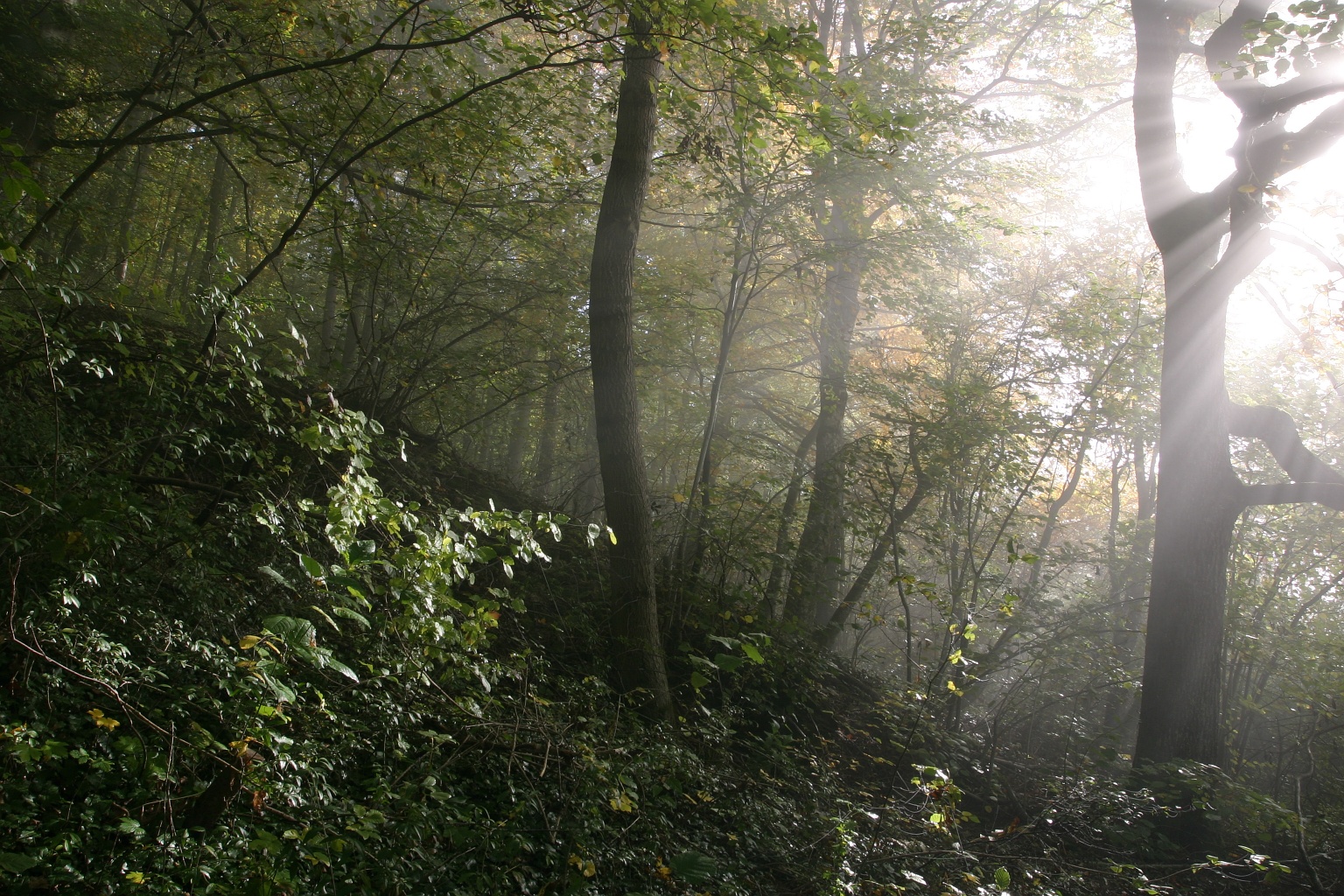
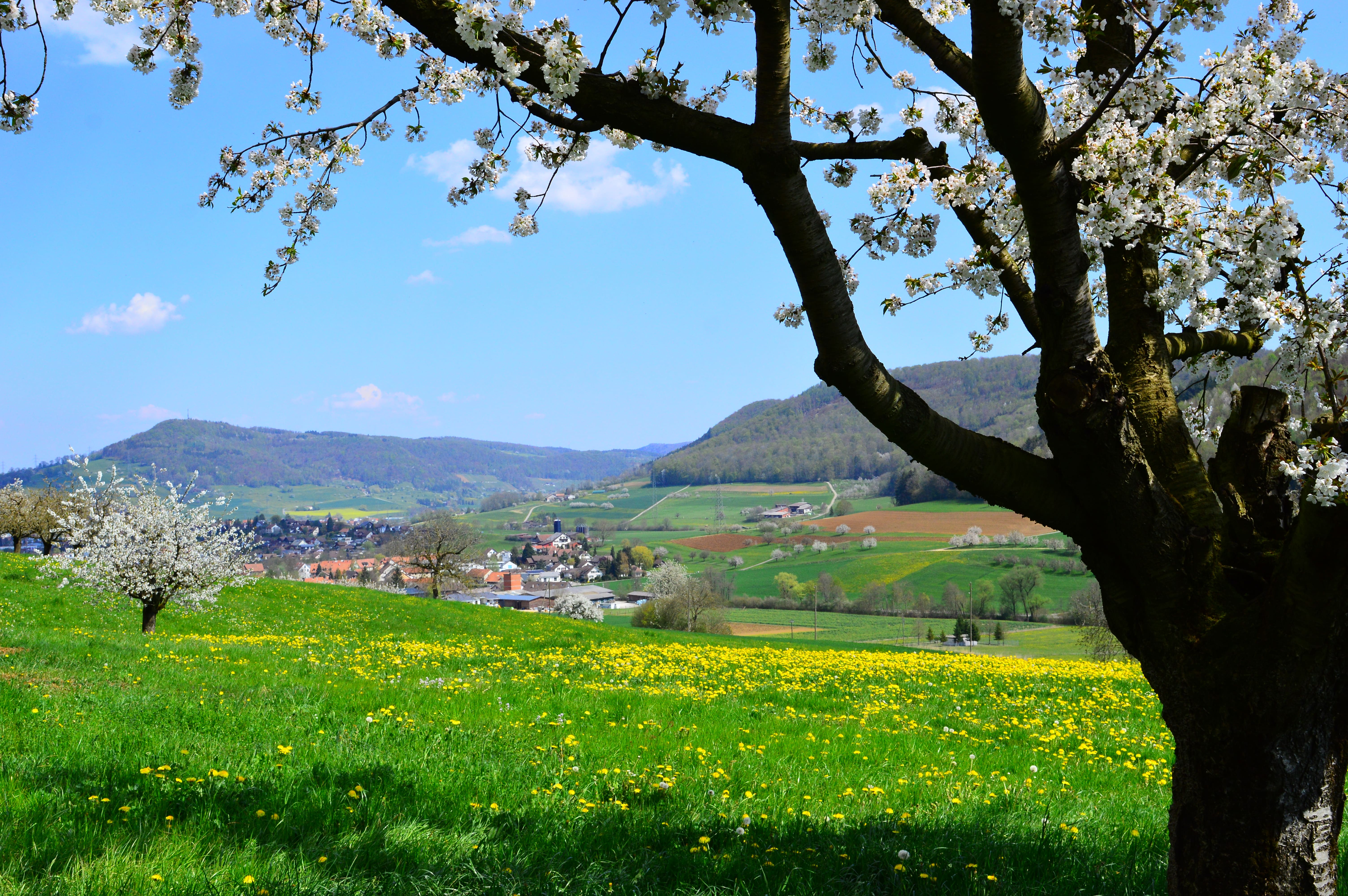
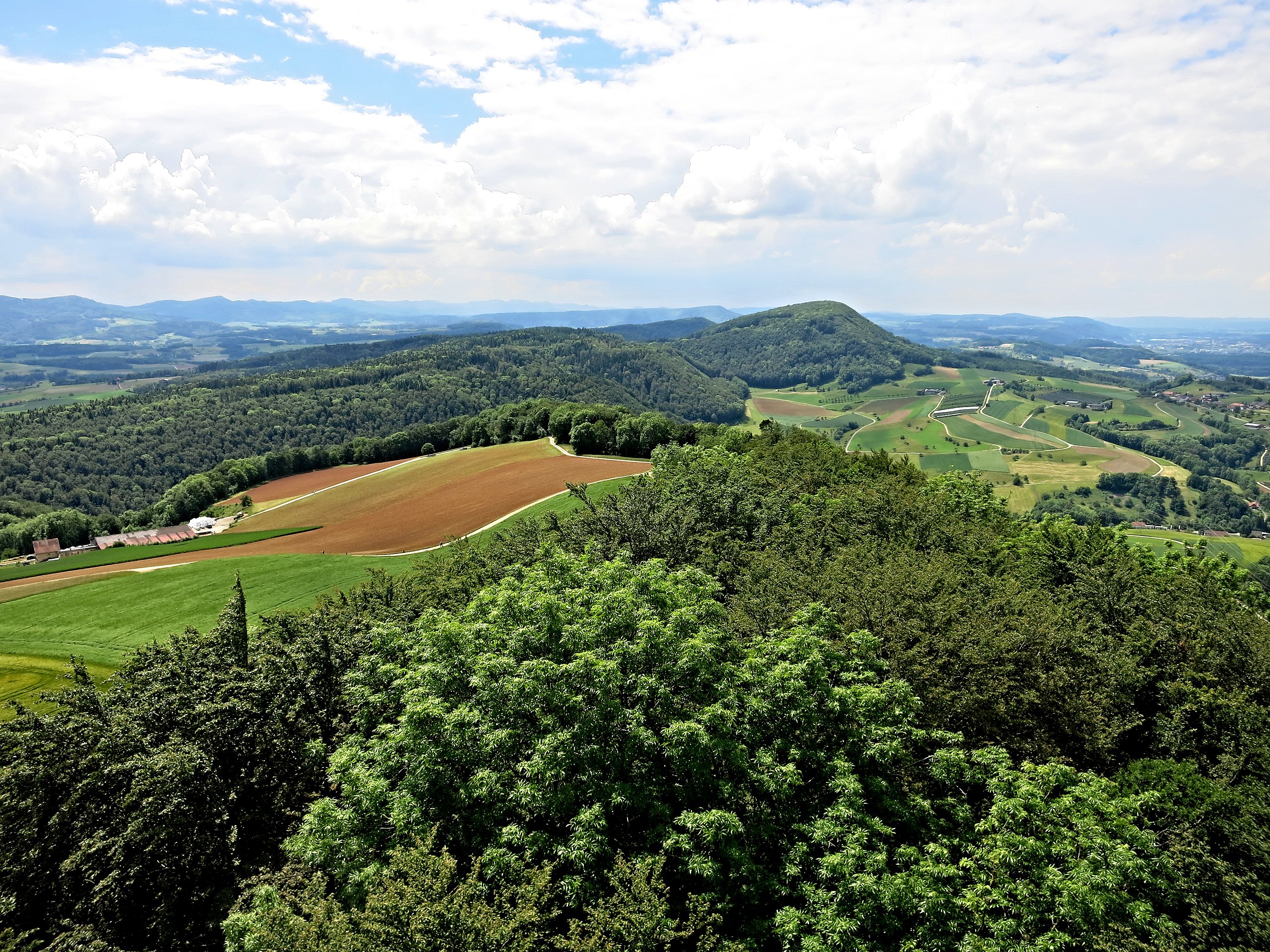
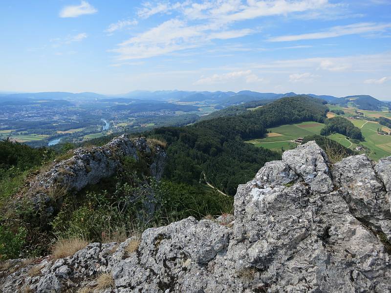
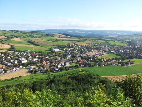
Departing from Gipf-Oberfrick, this pretty little walk heads south to rush into a forest. The path then alternates between fields and forests and offers beautiful views of the surroundings.

Already more than 200,000 users!
Uphill
234m
Highest point
567m
Downhill
234m
Lowest point
368m
Route type
Loop
Download the map on your smartphone to save battery and rest assured to always keep access to the route, even without signal.
Includes IGN France and Swisstopo.
I indicate whether dogs are allowed or prohibited on this trail
All year
0 ratings
Also enjoy:

Already more than 200,000 users!