Uphill
367m
Length
7km
Duration
3h
Elev gain
367m
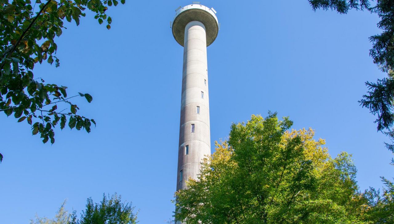
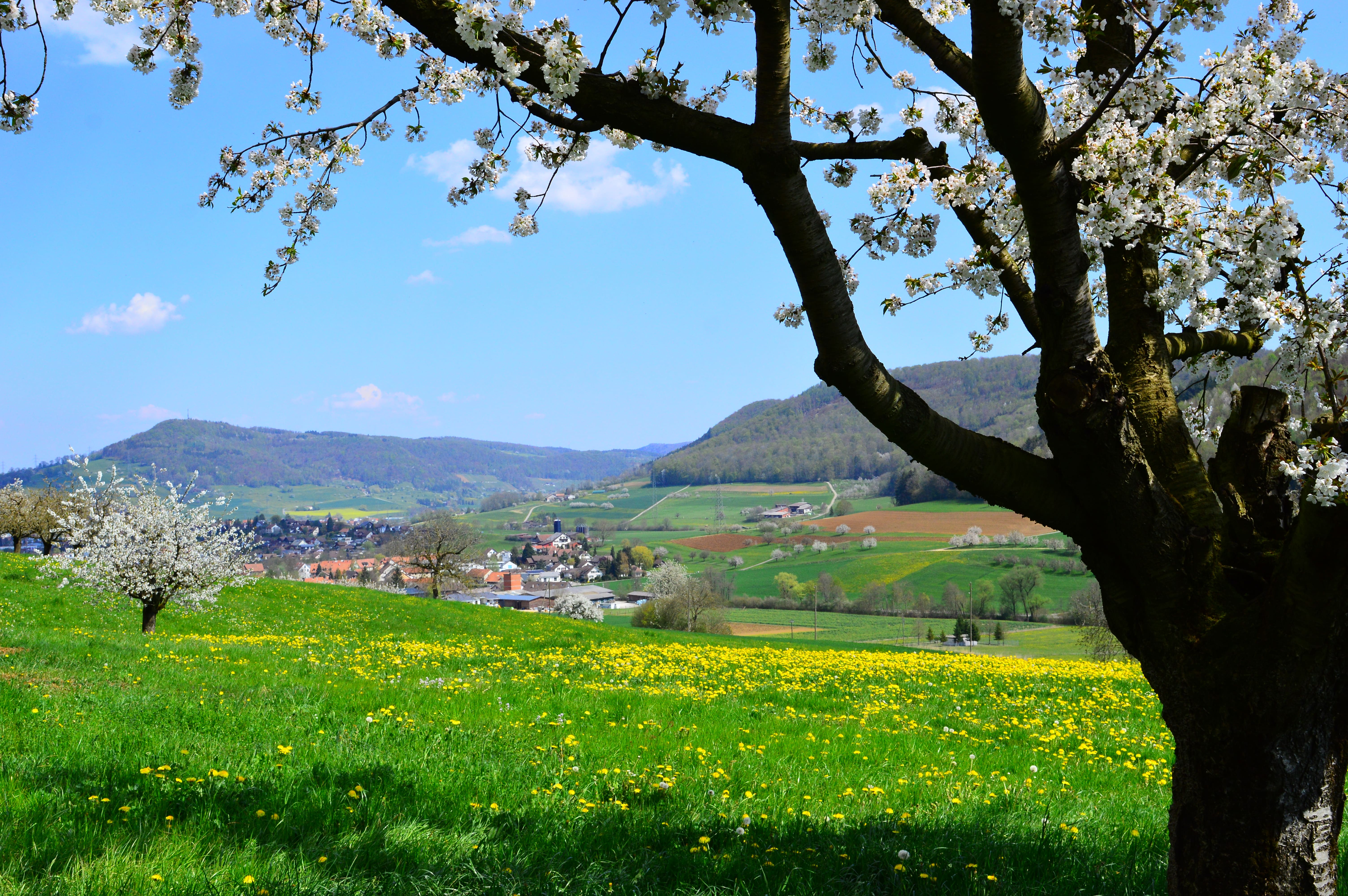
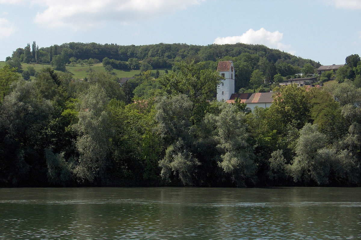
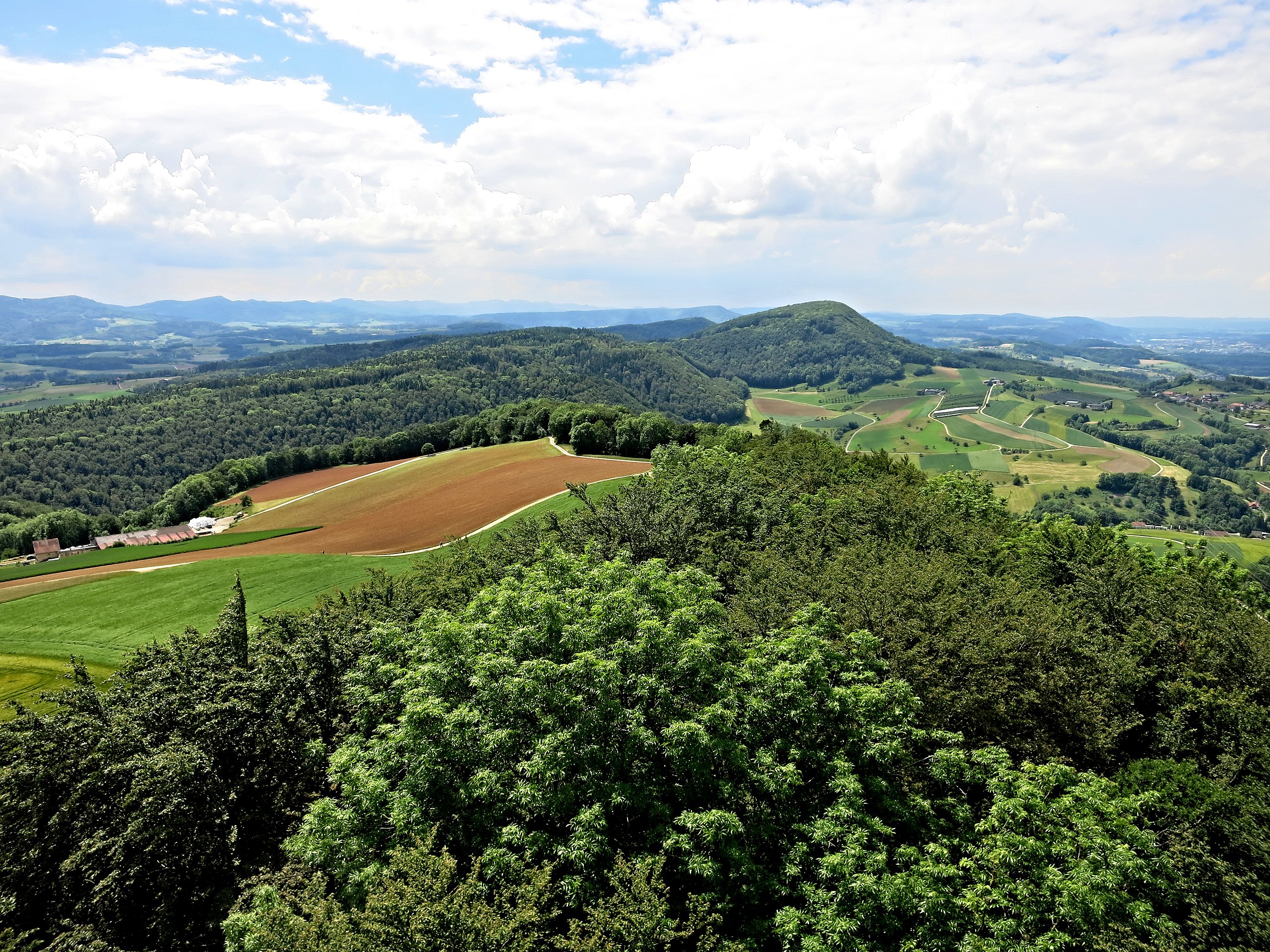
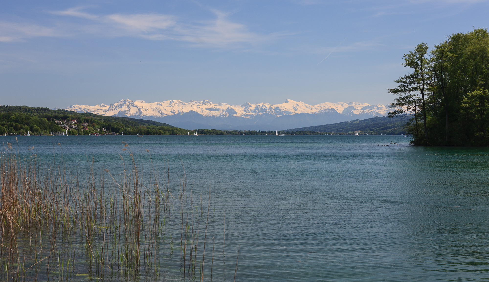
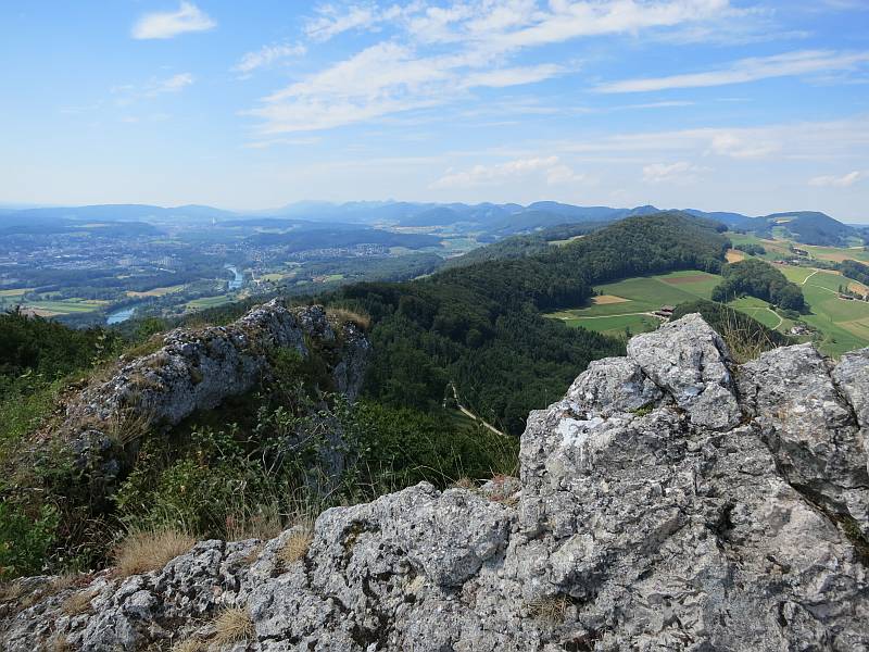
Departing from Auenstein, this route meanders through the forest until it reaches Gisliflue, the highest point of this hike, located at an altitude of 772 metres. At the top, the view of the valley is absolutely sublime.

Already more than 200,000 users!
Uphill
367m
Highest point
766m
Downhill
367m
Lowest point
408m
Route type
Loop
Download the map on your smartphone to save battery and rest assured to always keep access to the route, even without signal.
Includes IGN France and Swisstopo.
I indicate whether dogs are allowed or prohibited on this trail
All year
0 ratings
Also enjoy:

Already more than 200,000 users!