Uphill
164m
Length
21km
Duration
6h
Elev gain
164m
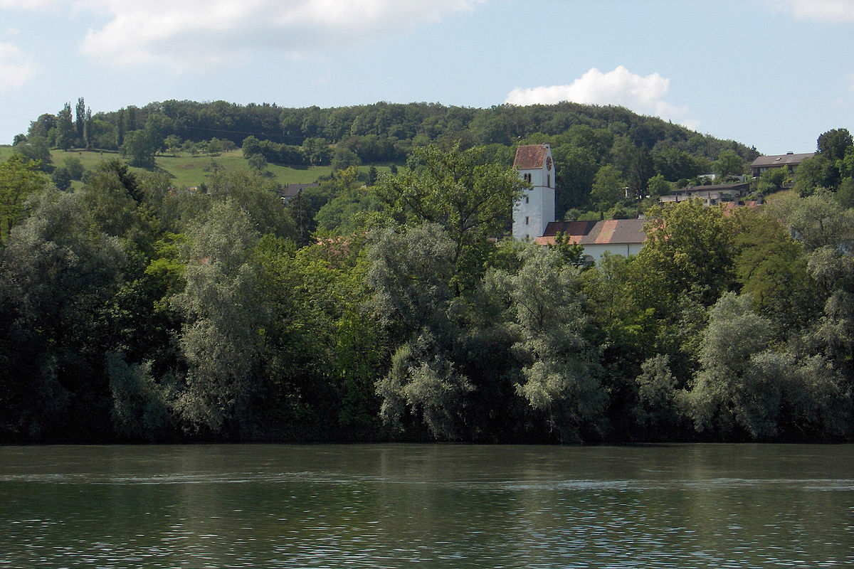
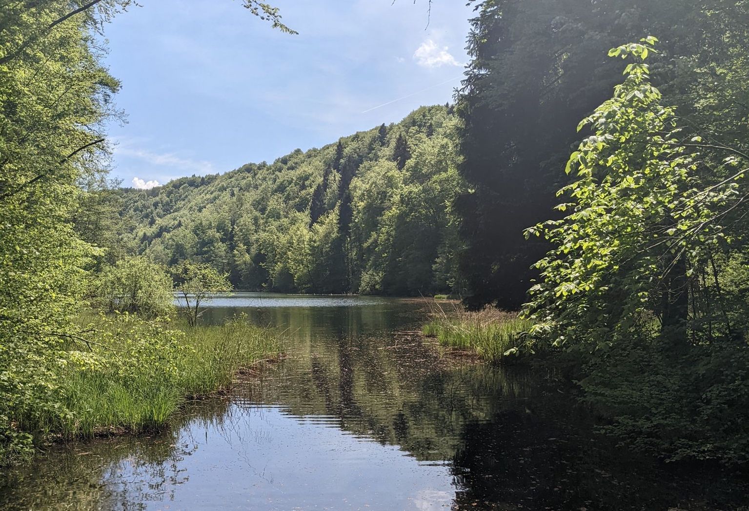
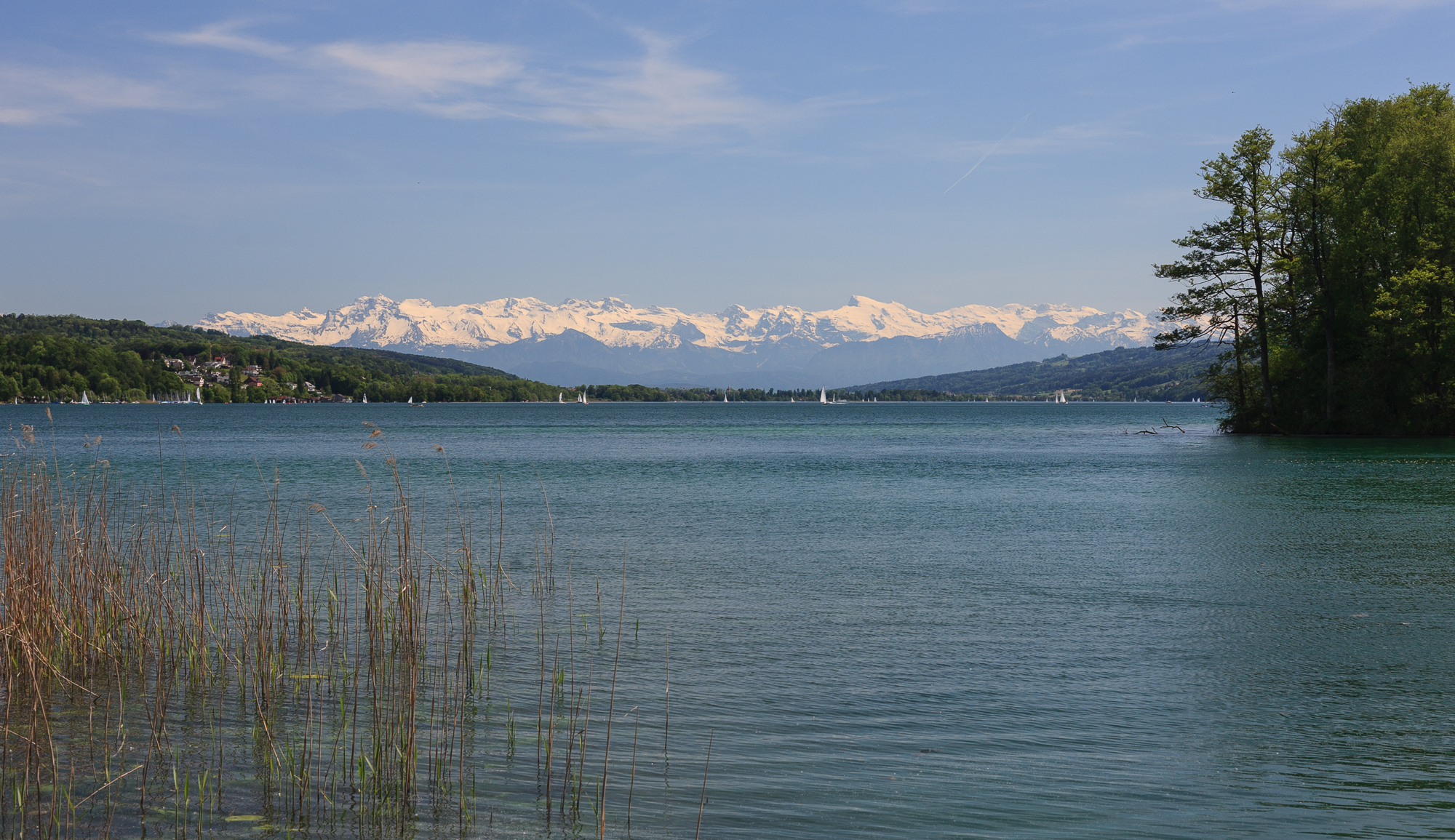
This route makes a long loop around Lake Hallwil, itself 8.4 kilometers long and dotted with restaurants, campsites and Hallwyl Castle.

Already more than 200,000 users!
Uphill
164m
Highest point
480m
Downhill
164m
Lowest point
446m
Route type
Loop
Download the map on your smartphone to save battery and rest assured to always keep access to the route, even without signal.
Includes IGN France and Swisstopo.
I indicate whether dogs are allowed or prohibited on this trail
All year
0 ratings
Also enjoy:

Already more than 200,000 users!