Uphill
41m
Length
8km
Duration
2h
Elev gain
41m
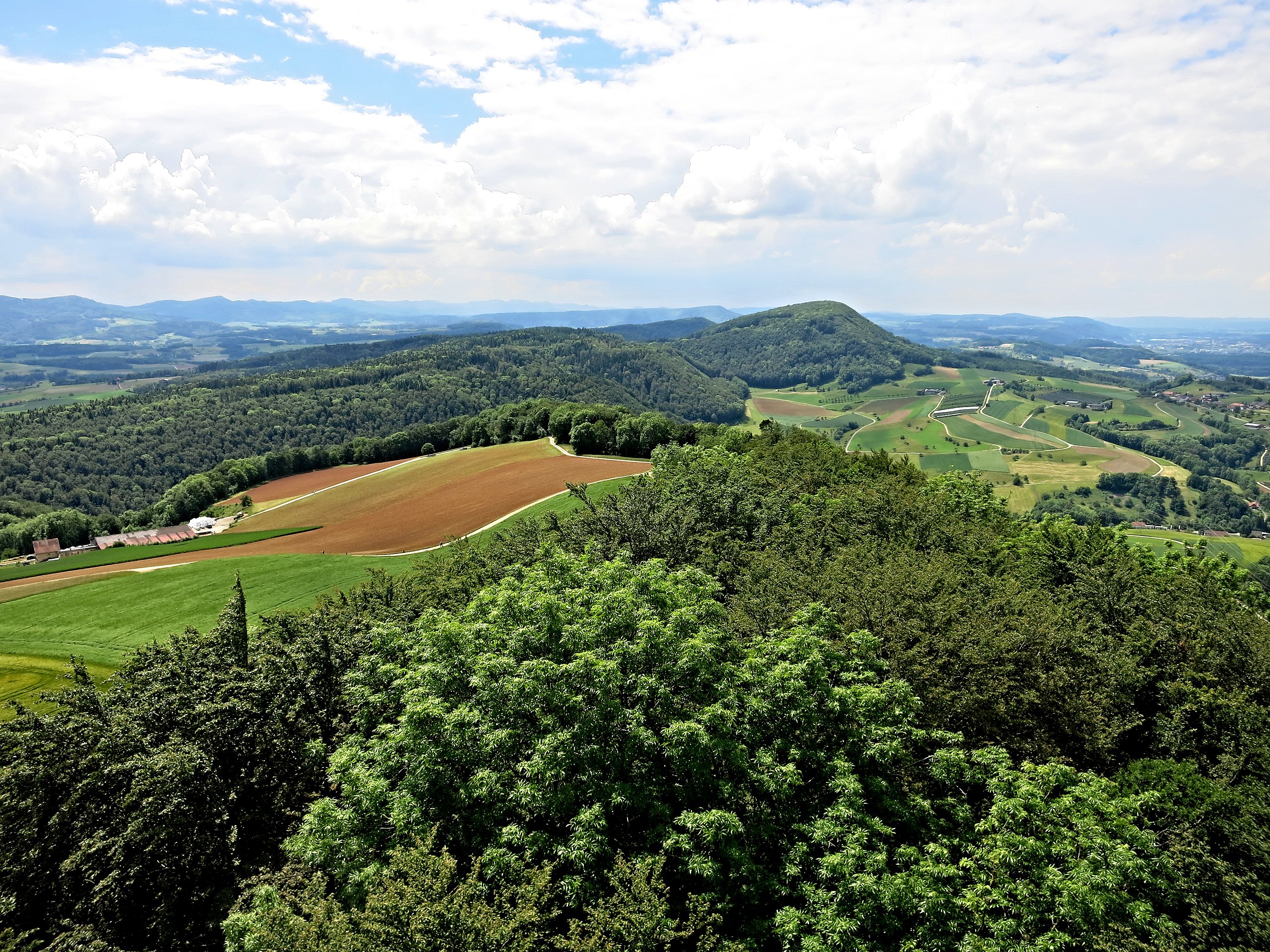
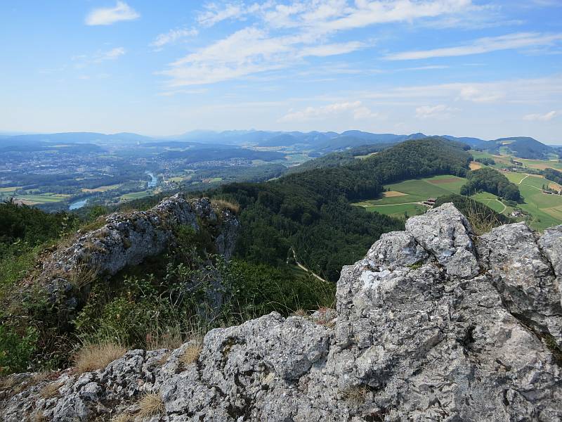
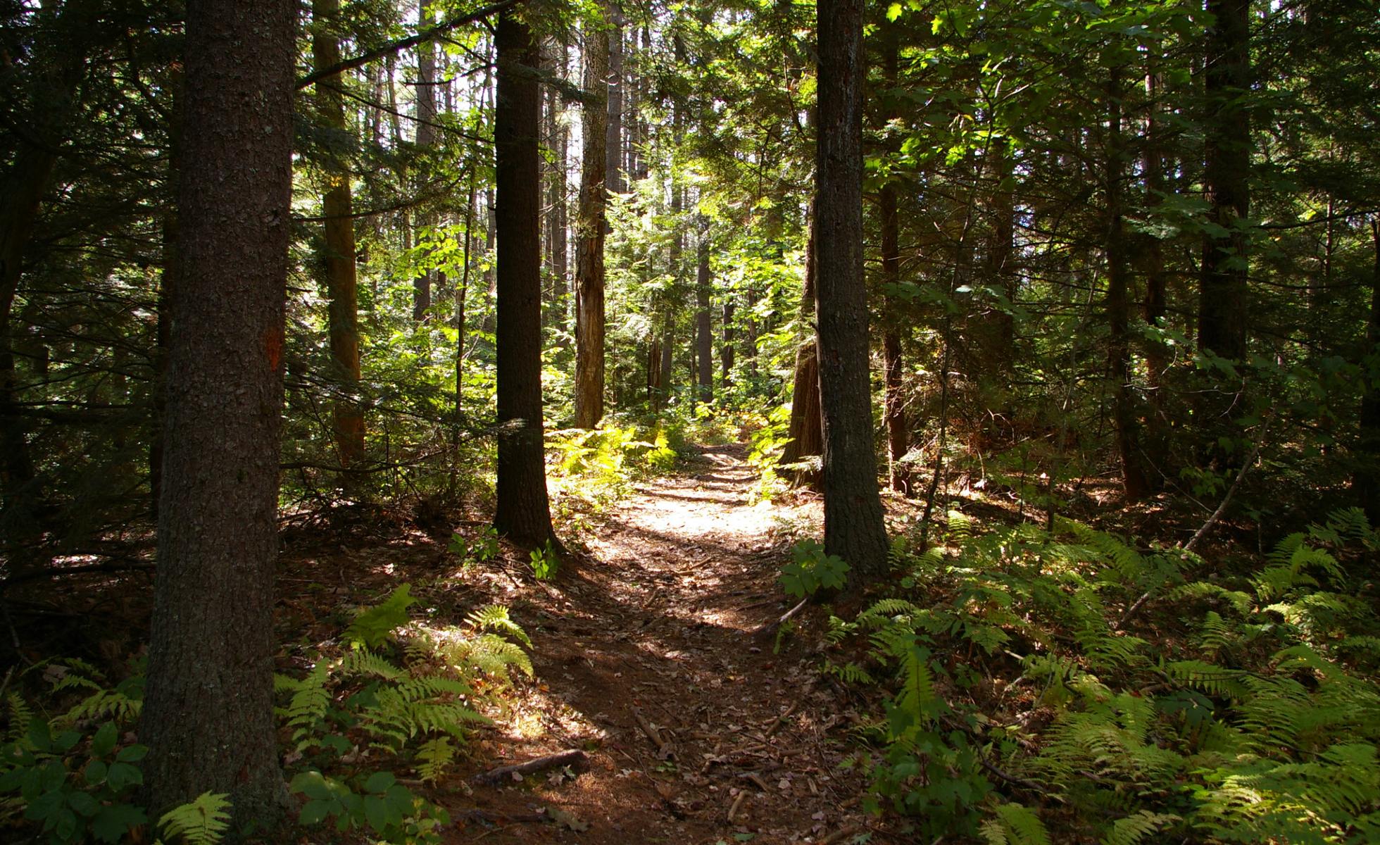
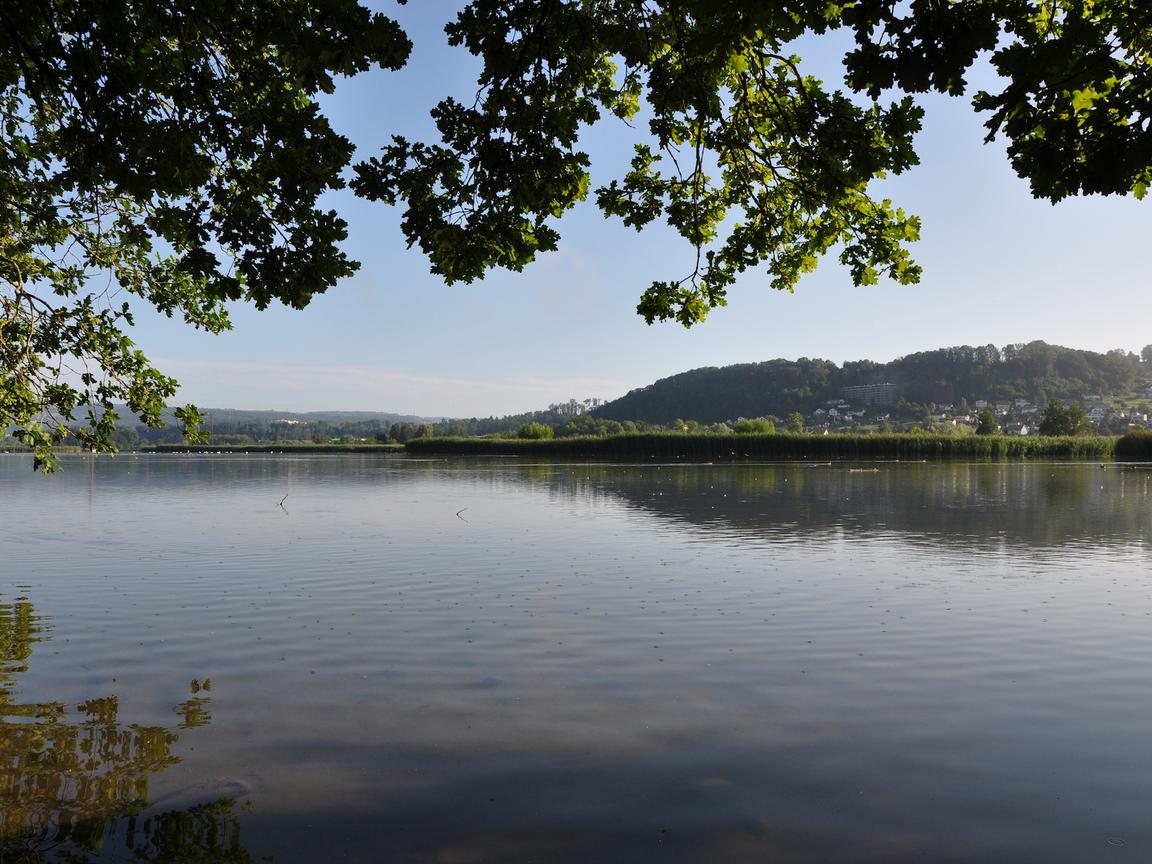
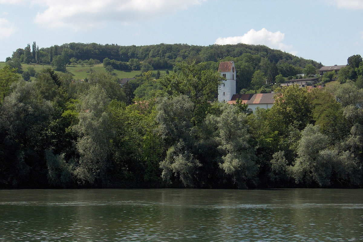
Departing from Umiken, this short walk is ideal for a family outing. The route makes a loop around the Aare, at the rhythm of the water, and offers beautiful views of the latter as well as of Umiken and Brugg.

Already more than 200,000 users!
Uphill
41m
Highest point
363m
Downhill
41m
Lowest point
334m
Route type
Loop
Download the map on your smartphone to save battery and rest assured to always keep access to the route, even without signal.
Includes IGN France and Swisstopo.
I indicate whether dogs are allowed or prohibited on this trail
All year
0 ratings
Also enjoy:

Already more than 200,000 users!