Uphill
156m
Length
3km
Duration
1h30min
Elev gain
156m
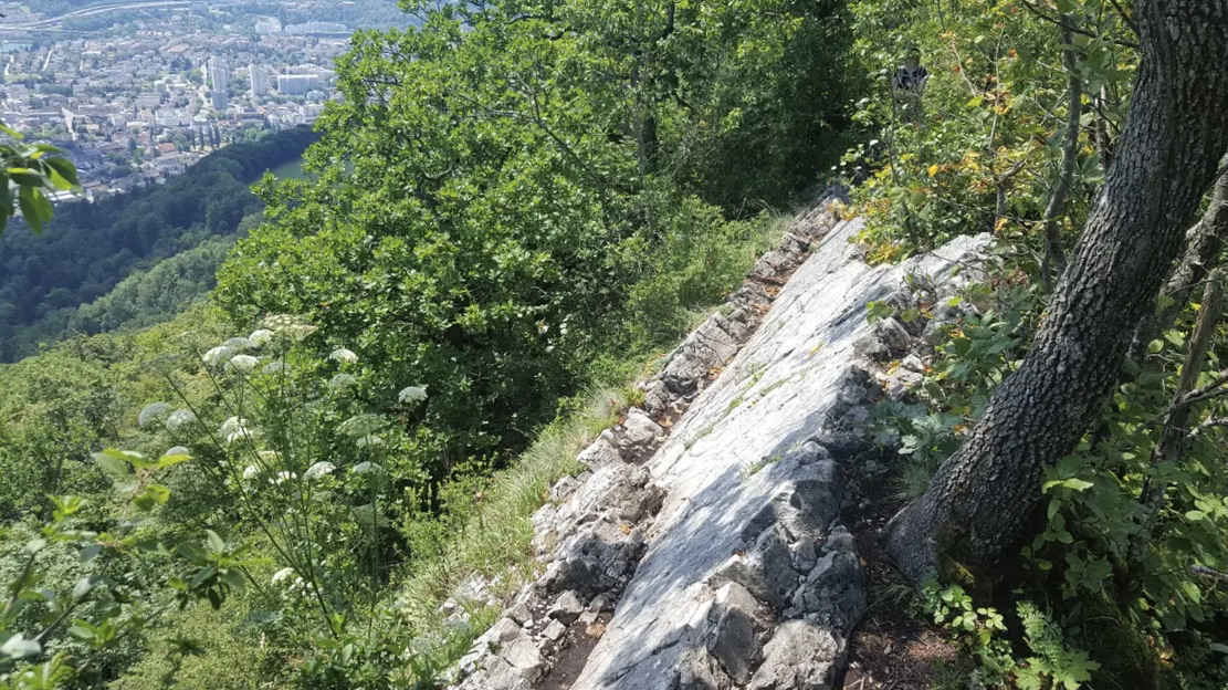
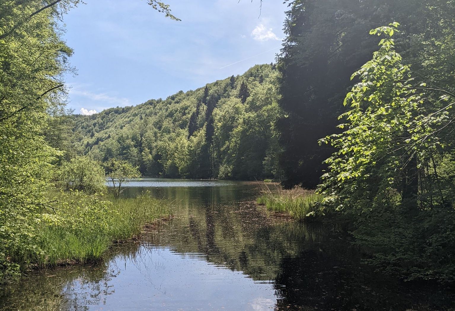
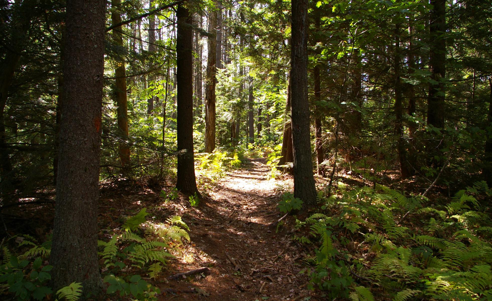
A short family outing near Baden. This course makes a loop in a calm and pleasant forest environment, ideal for the whole family, young and old.

Already more than 200,000 users!
Uphill
156m
Highest point
523m
Downhill
156m
Lowest point
376m
Route type
Loop
Download the map on your smartphone to save battery and rest assured to always keep access to the route, even without signal.
Includes IGN France and Swisstopo.
I indicate whether dogs are allowed or prohibited on this trail
All year
0 ratings
Also enjoy:

Already more than 200,000 users!