Uphill
13m

Length
7km
Duration
2h
Elev gain
13m
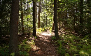
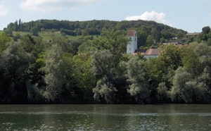
Departing from Kleindöttingen, this route quickly crosses the bridge to reach Döttingen. Then, the route loops and runs all the way around the Klingnauer Stausee, offering great views of the latter.

Already more than 200,000 users!
Uphill
13m
Highest point
328m
Downhill
13m
Lowest point
314m
Route type
Loop
Download the map on your smartphone to save battery and rest assured to always keep access to the route, even without signal.
Includes IGN France and Swisstopo.
I indicate whether dogs are allowed or prohibited on this trail
All year
0 ratings
Also enjoy:

Already more than 200,000 users!