Uphill
365m
Length
6km
Duration
2h30min
Elev gain
365m
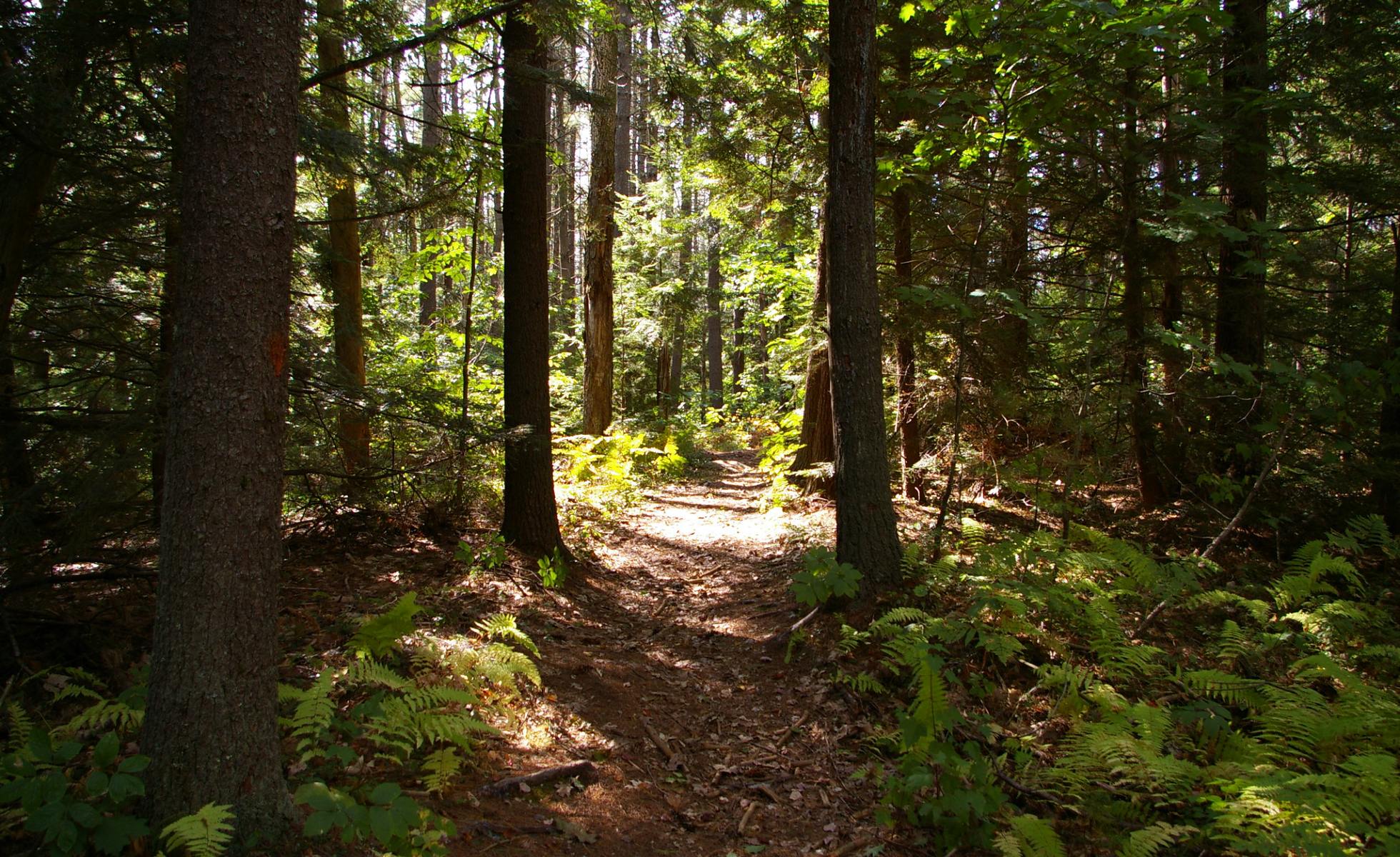
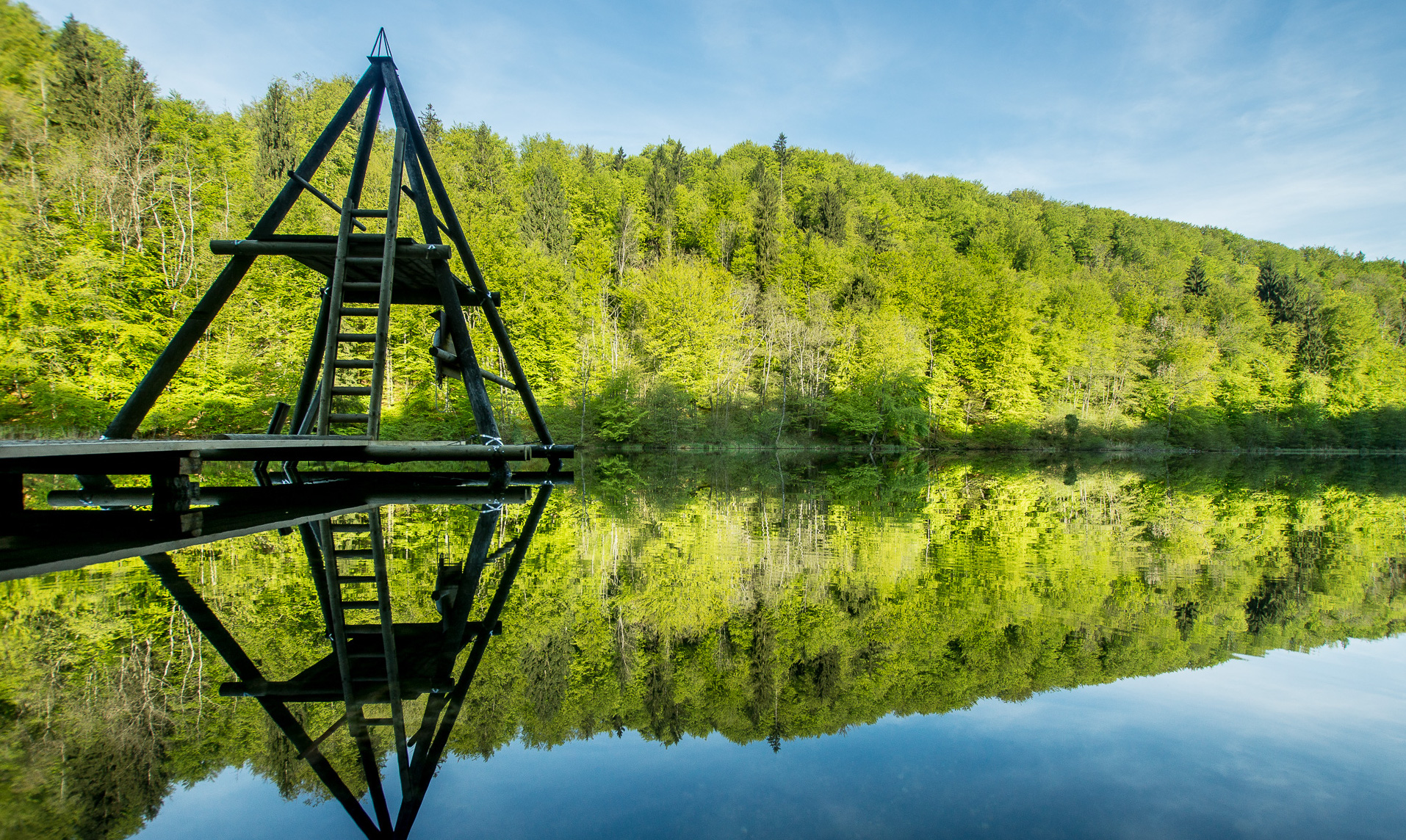
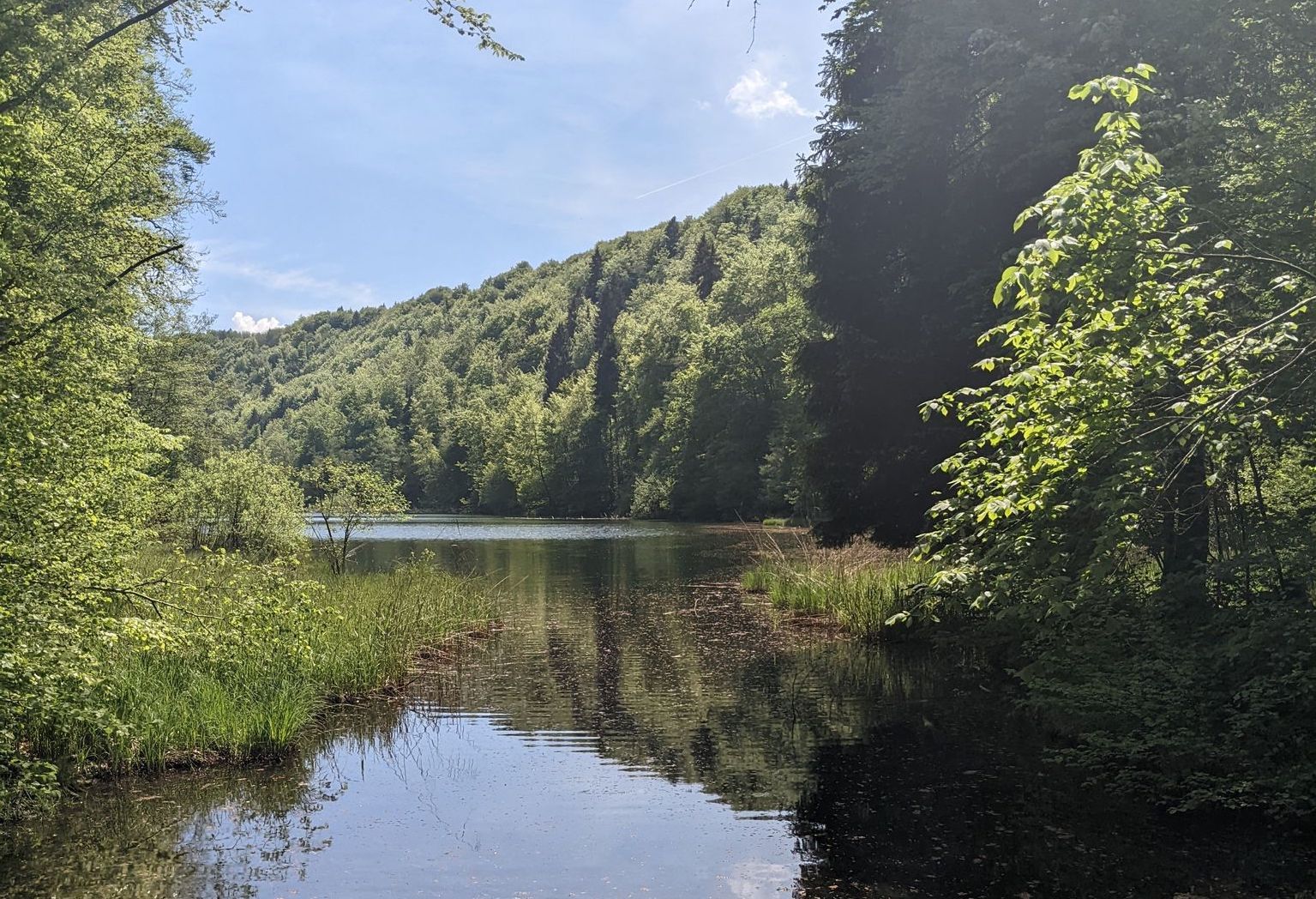
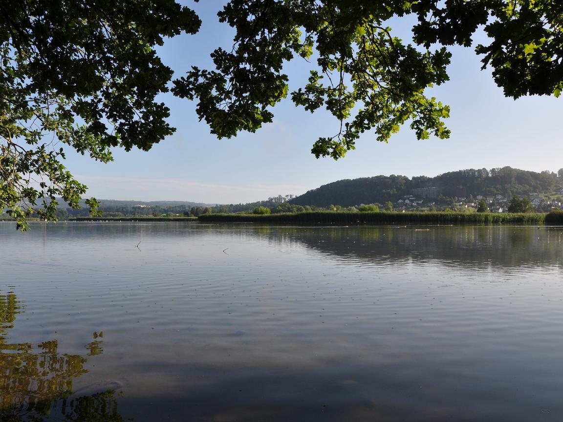
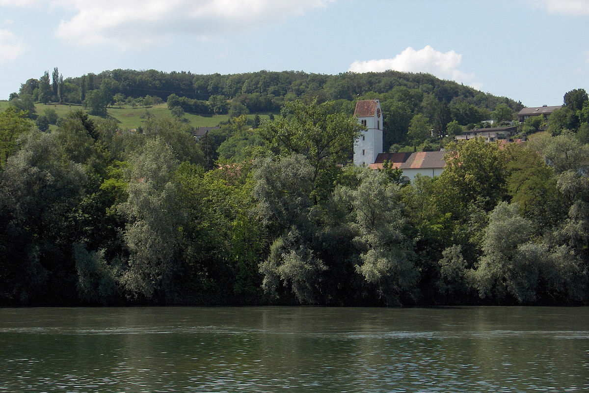
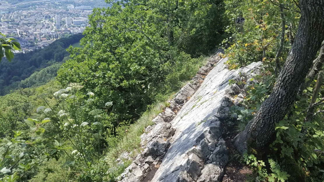
Starting from the Schloss Schartenfels restaurant, this pretty route climbs up to Lägerensattel. A little steep in nature, the trails offer great views of the surroundings throughout the hike.

Already more than 200,000 users!
Uphill
365m
Highest point
817m
Downhill
365m
Lowest point
455m
Route type
Loop
Download the map on your smartphone to save battery and rest assured to always keep access to the route, even without signal.
Includes IGN France and Swisstopo.
I indicate whether dogs are allowed or prohibited on this trail
All year
0 ratings
Also enjoy:

Already more than 200,000 users!