Uphill
675m
Length
11km
Duration
5h
Elev gain
675m
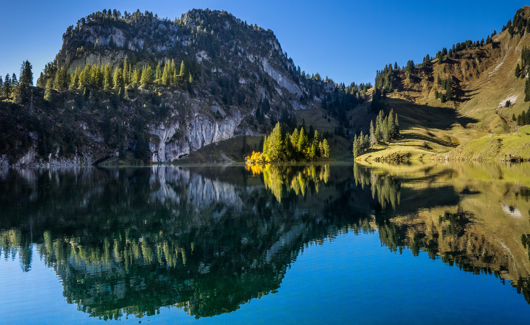
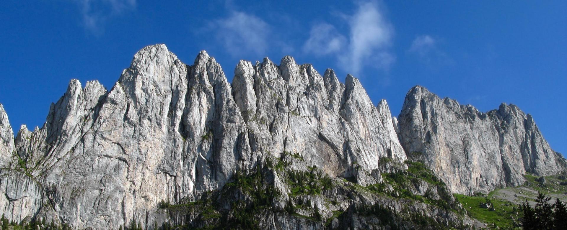
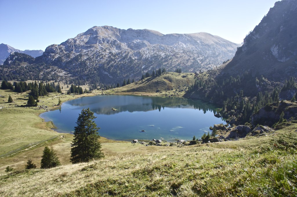
Superb hike in the Diemtigtal nature park. The route makes a loop passing by the very beautiful Seebergsee lake and then reaching the summit of Chumigalm, located at 2,125 meters above sea level.

Already more than 200,000 users!
Uphill
675m
Highest point
2077m
Downhill
675m
Lowest point
1741m
Route type
Loop
Download the map on your smartphone to save battery and rest assured to always keep access to the route, even without signal.
Includes IGN France and Swisstopo.
I indicate whether dogs are allowed or prohibited on this trail
From May to September
0 ratings
Also enjoy:

Already more than 200,000 users!