Uphill
656m
Length
9km
Duration
4h30min
Elev gain
656m
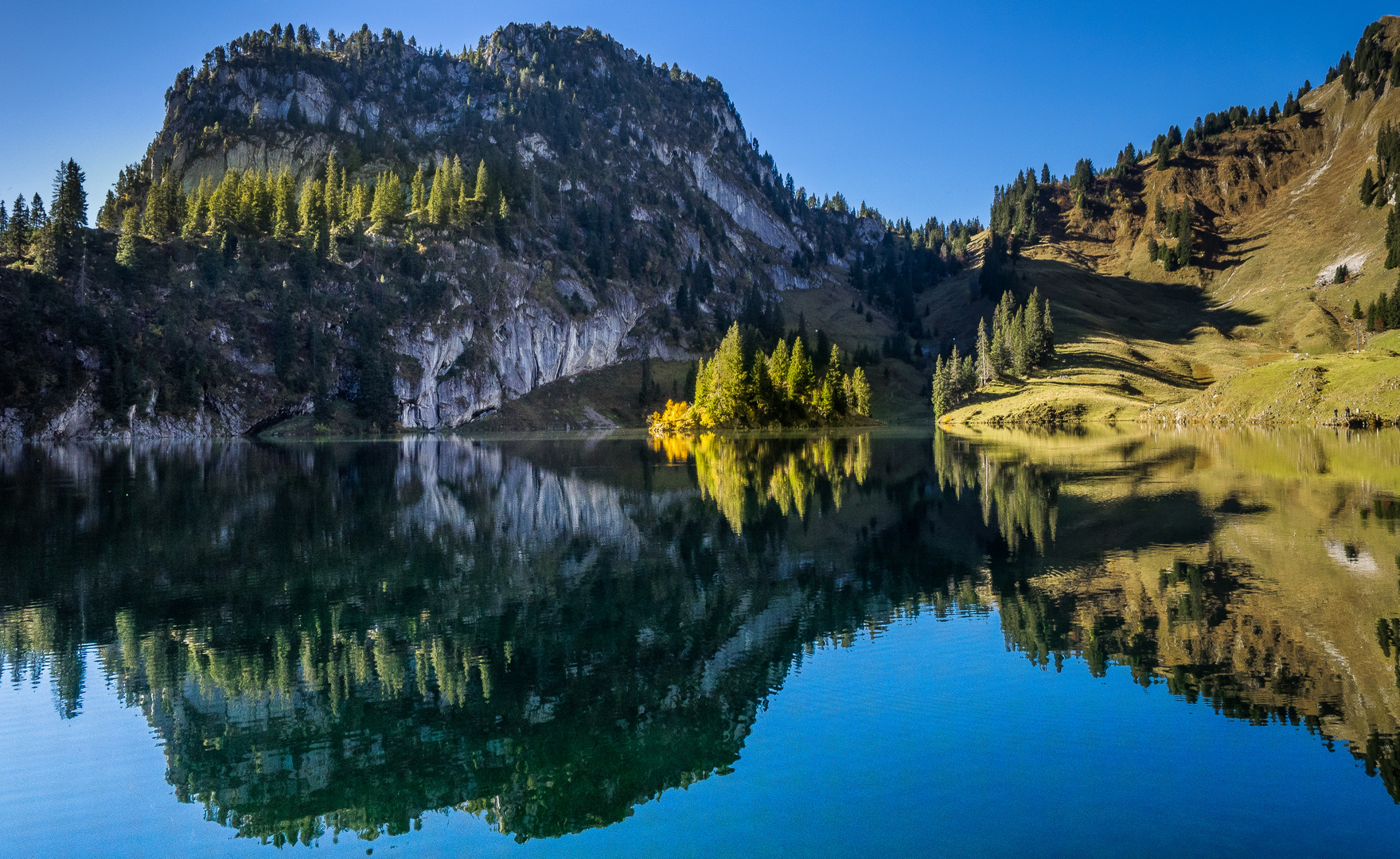
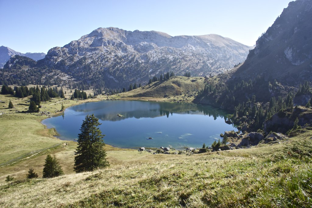
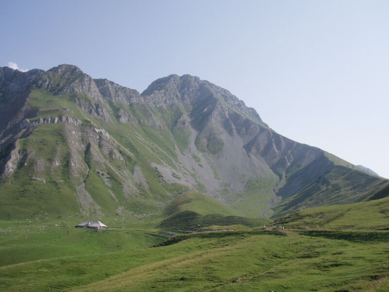
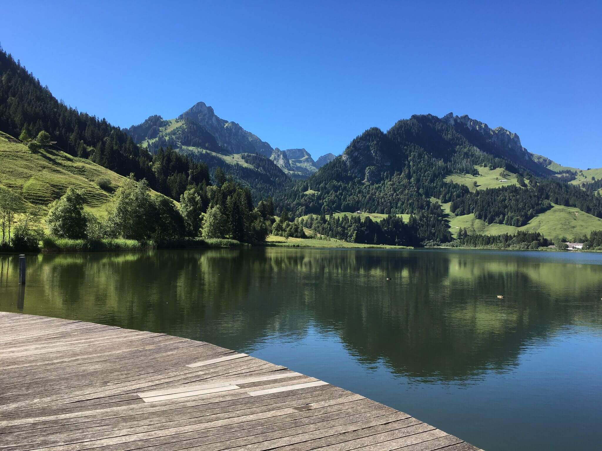
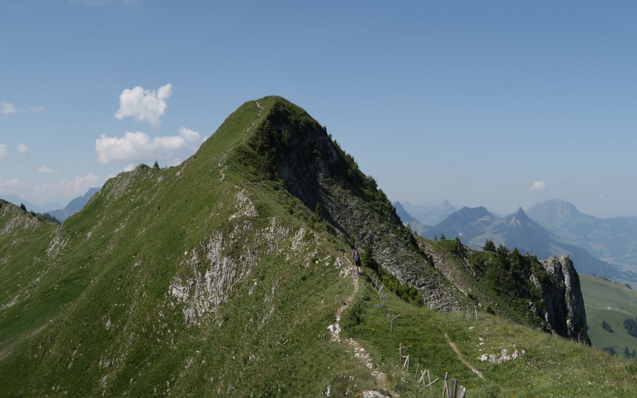
Nice hike to discover two passes and two summits. Indeed, this route joins Gantrisch via Leiterepass then joins Schibenspitz before returning to the starting point via Morgetepass.

Already more than 200,000 users!
Uphill
656m
Highest point
2151m
Downhill
656m
Lowest point
1540m
Route type
Loop
Download the map on your smartphone to save battery and rest assured to always keep access to the route, even without signal.
Includes IGN France and Swisstopo.
I indicate whether dogs are allowed or prohibited on this trail
From May to September
1 rating
Nous avons fait la boucle en 3h15 et la vue est vraiment magnifique. Un super panorama ! Je conseille de faire la boucle dans le sens inverse que celui proposé ! Attention passages vertigineux et assez technique pour accéder au sommet. A ne surtout pas faire avec des enfants ou si vous avez le vertige.
Also enjoy:

Already more than 200,000 users!