Uphill
435m
Length
6km
Duration
2h30min
Elev gain
435m
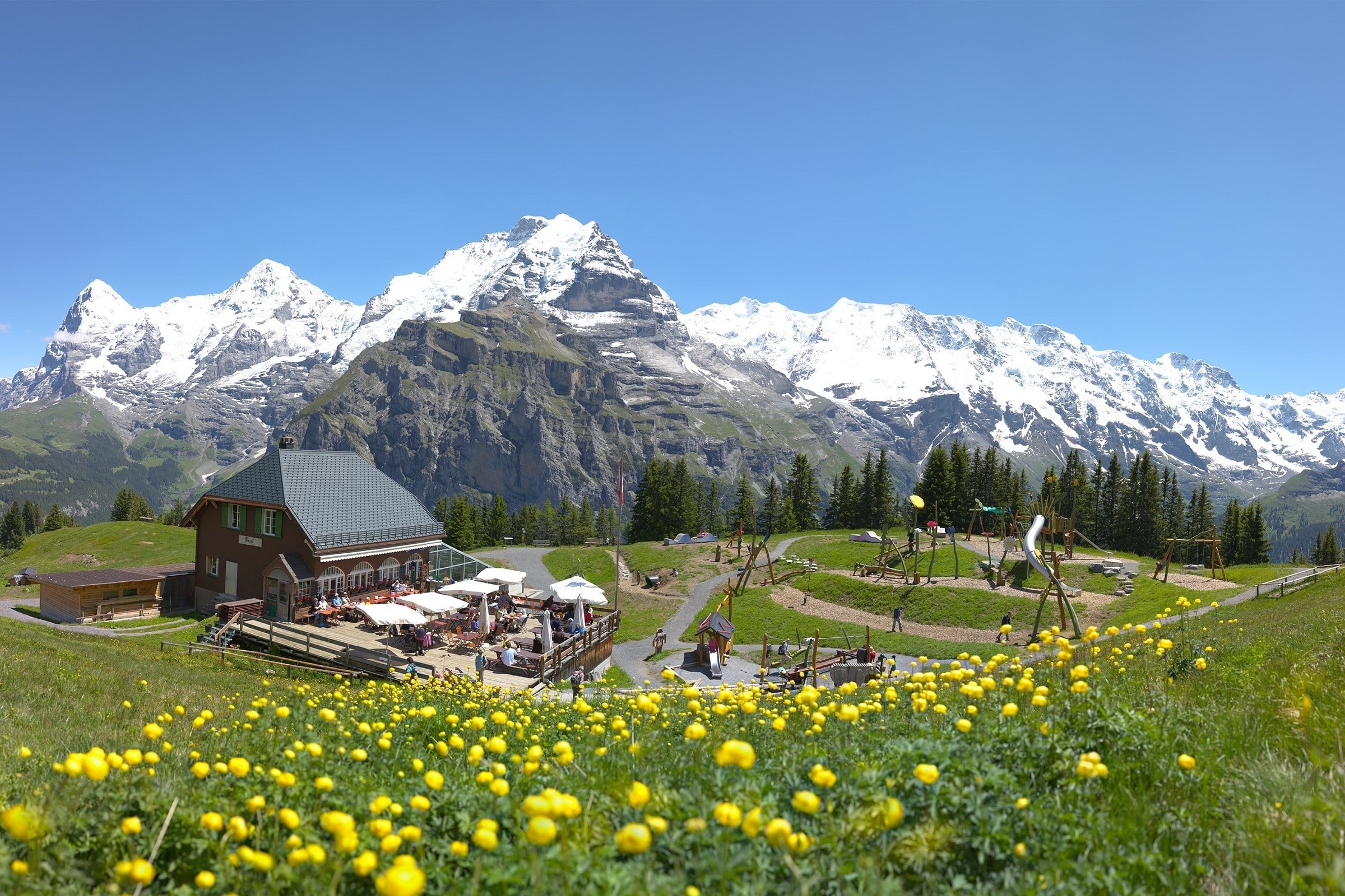
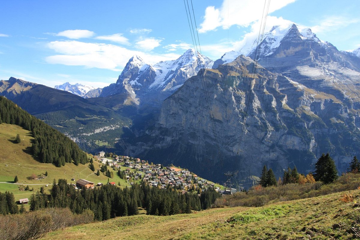
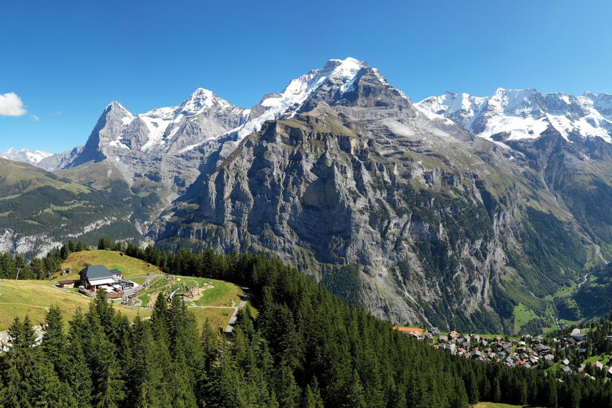
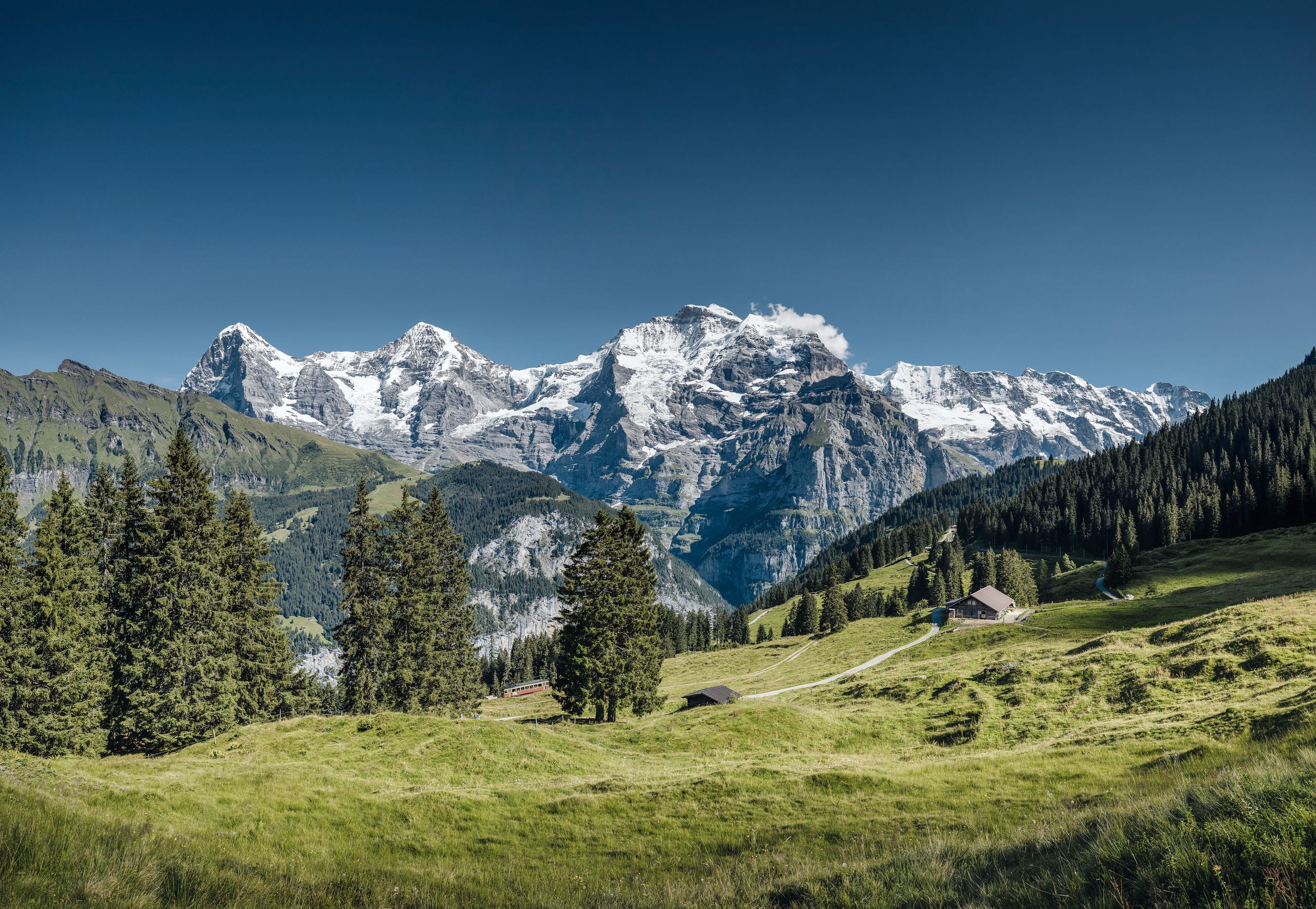
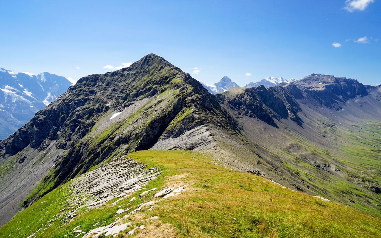
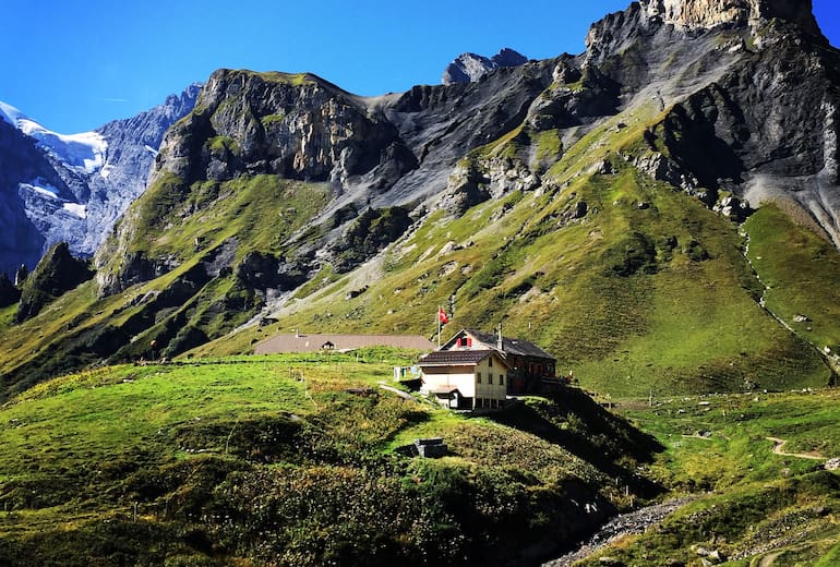
Magnificent hike between Mürren and the Rotstock hut, located at the foot of the Schilthorn, at 2,039 meters above sea level. Amidst unique alpine flora, the route offers superb views of the peaks of Mönch and Jungfrau. Once at the hut, it is possible to extend the route by climbing up to the Schilthorn, for a guaranteed spectacle.

Already more than 200,000 users!
Uphill
435m
Highest point
2059m
Downhill
35m
Lowest point
1641m
Route type
One way
Download the map on your smartphone to save battery and rest assured to always keep access to the route, even without signal.
Includes IGN France and Swisstopo.
Mürren station at the start (cable car).
Rotstockhütte station on arrival (cable car).
I indicate whether dogs are allowed or prohibited on this trail
From May to September
2 ratings
Magnifiques paysages, sentier très bien indiqué 2h de descente pour retrouver un téléphérique ou 3h pour aller au parking de Lauterbrunnen.
Also enjoy:

Already more than 200,000 users!