Uphill
396m
Length
9km
Duration
3h30min
Elev gain
396m
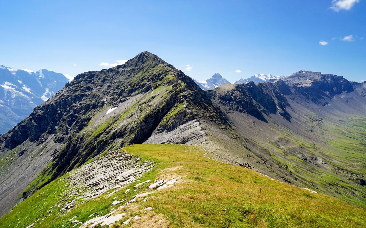
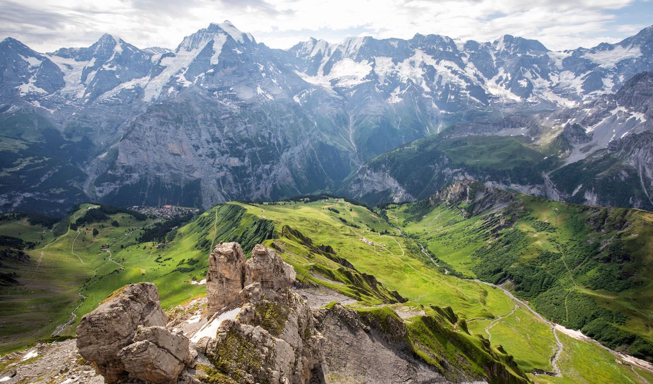
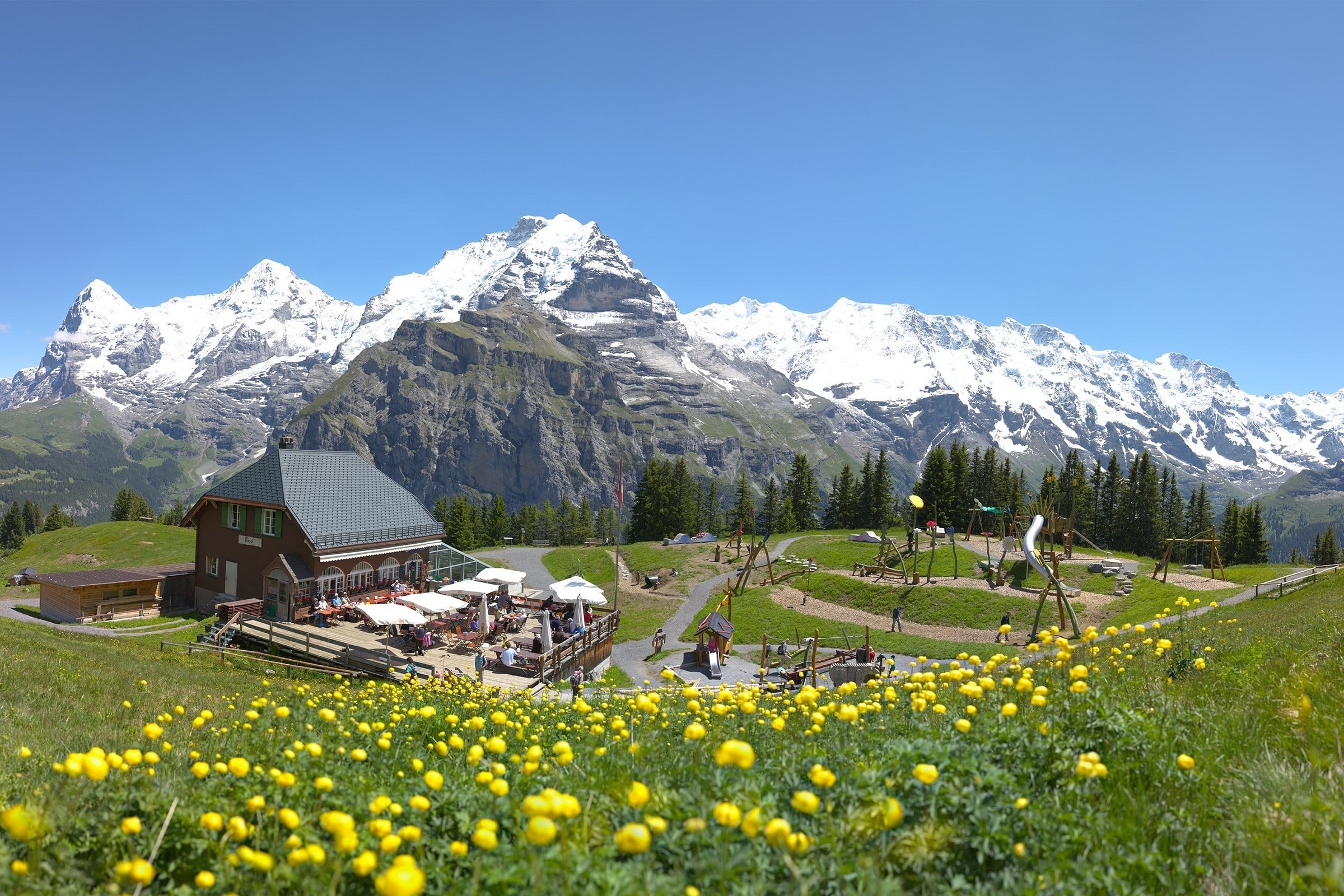
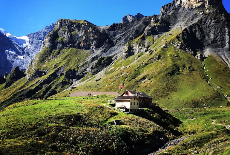
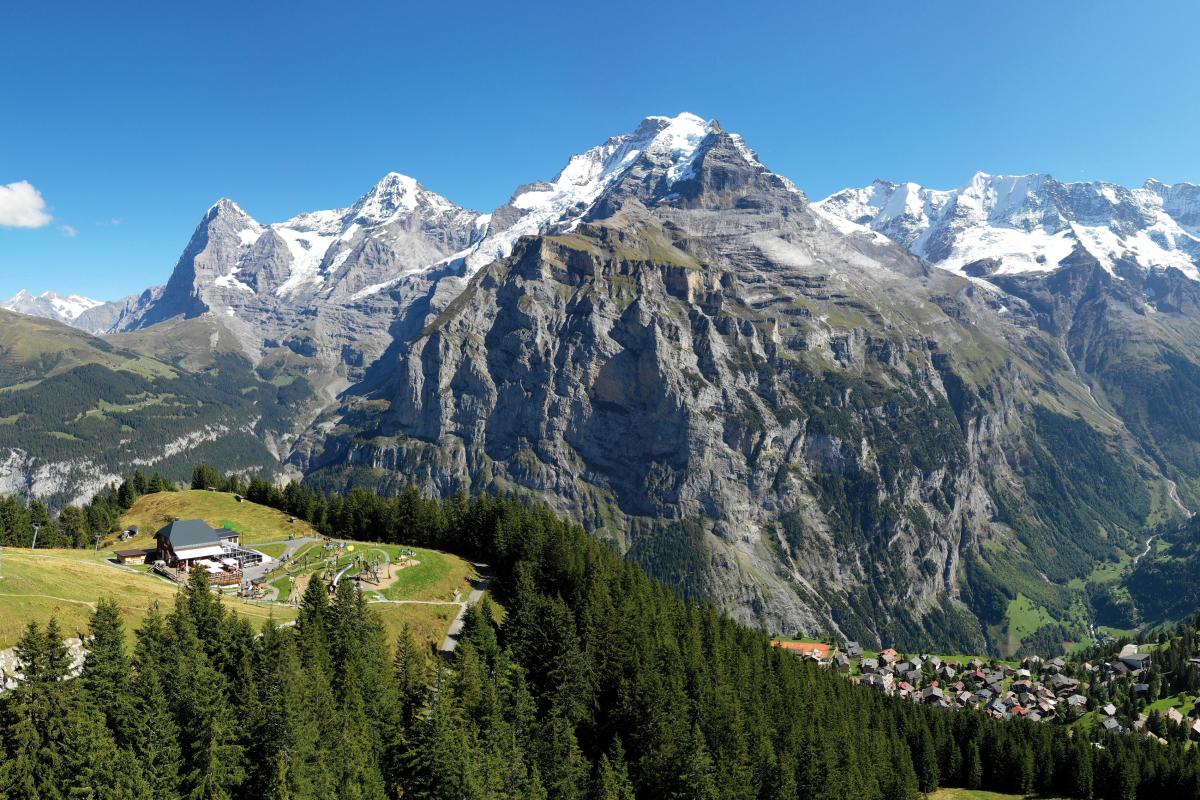
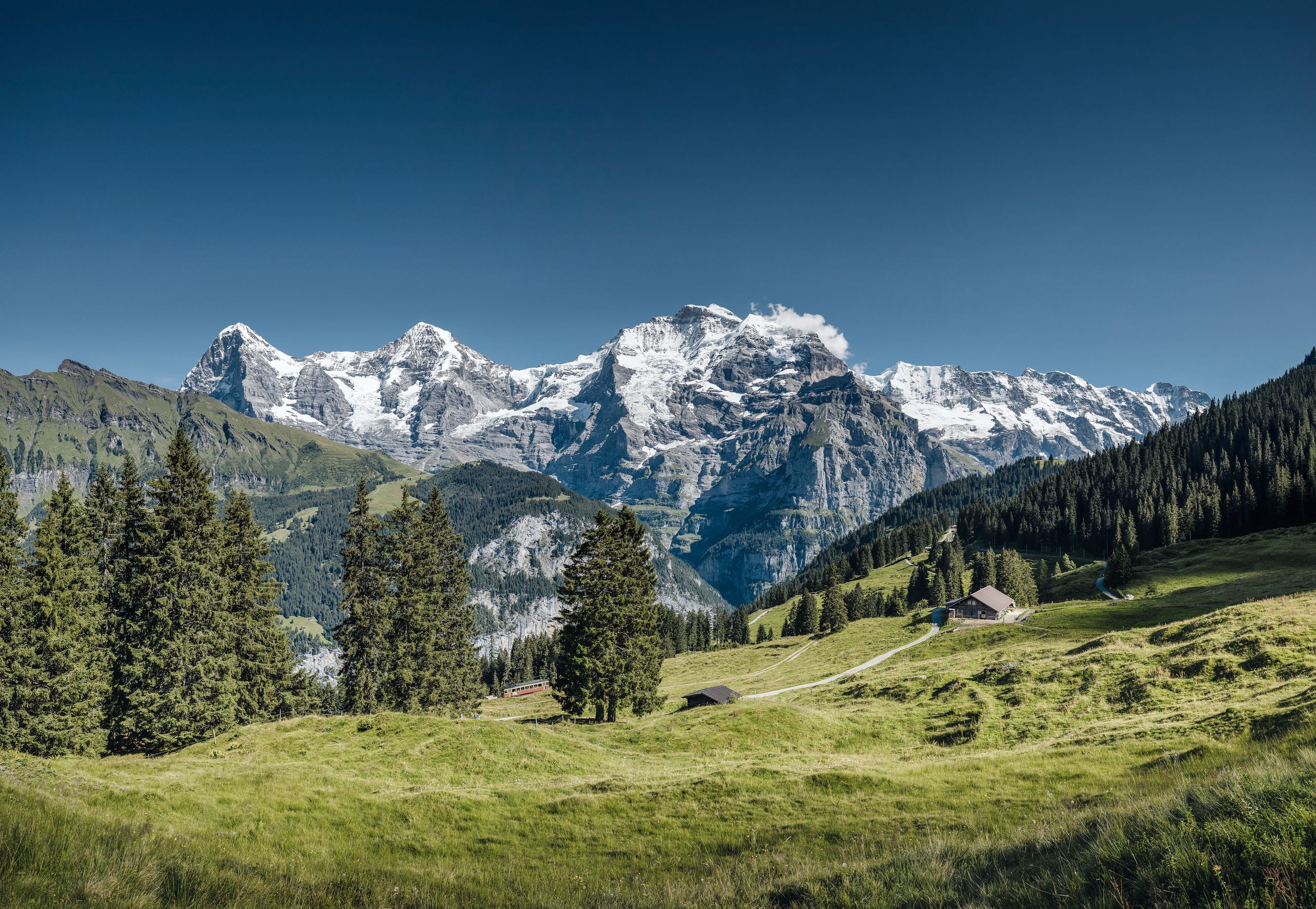
Departing from Mürren, this hike amazes us. Indeed, between forest, waterfalls and wild flowers, this route offers superb views of the surrounding mountains.

Already more than 200,000 users!
Uphill
396m
Highest point
1881m
Downhill
396m
Lowest point
1522m
Route type
Loop
Download the map on your smartphone to save battery and rest assured to always keep access to the route, even without signal.
Includes IGN France and Swisstopo.
I indicate whether dogs are allowed or prohibited on this trail
From May to October
0 ratings
Also enjoy:

Already more than 200,000 users!