Uphill
1366m
Length
17km
Duration
9h30min
Elev gain
1366m
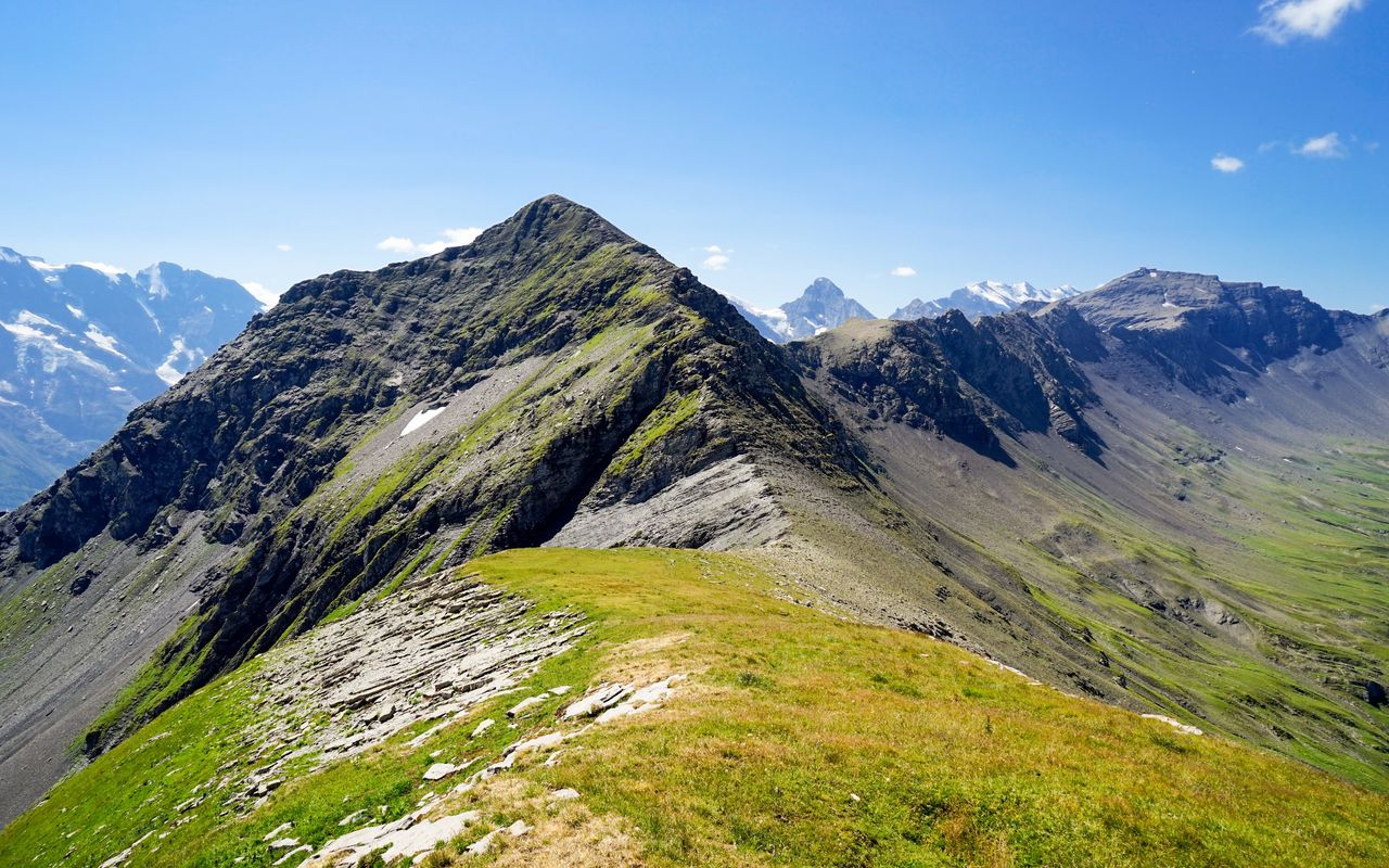
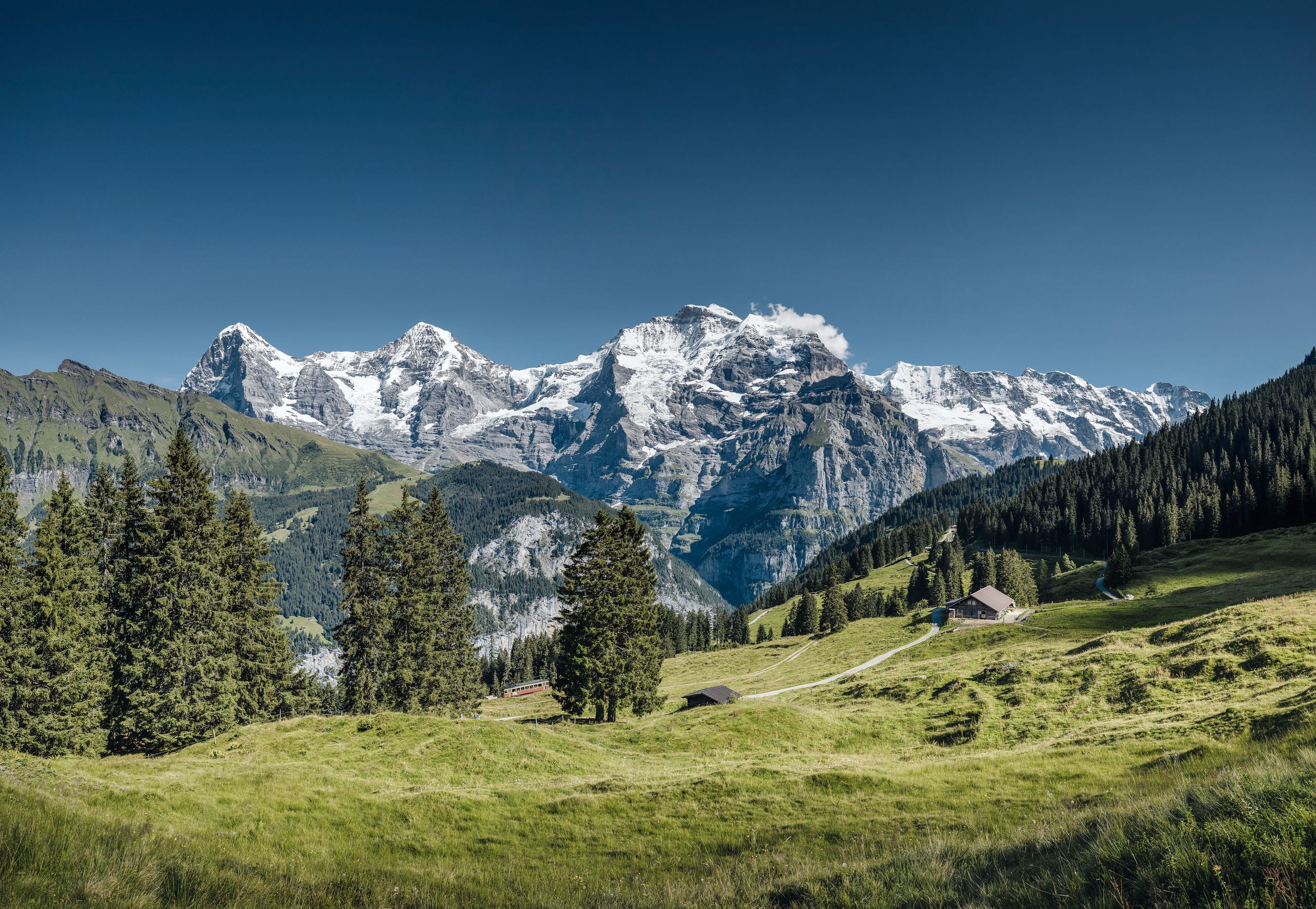
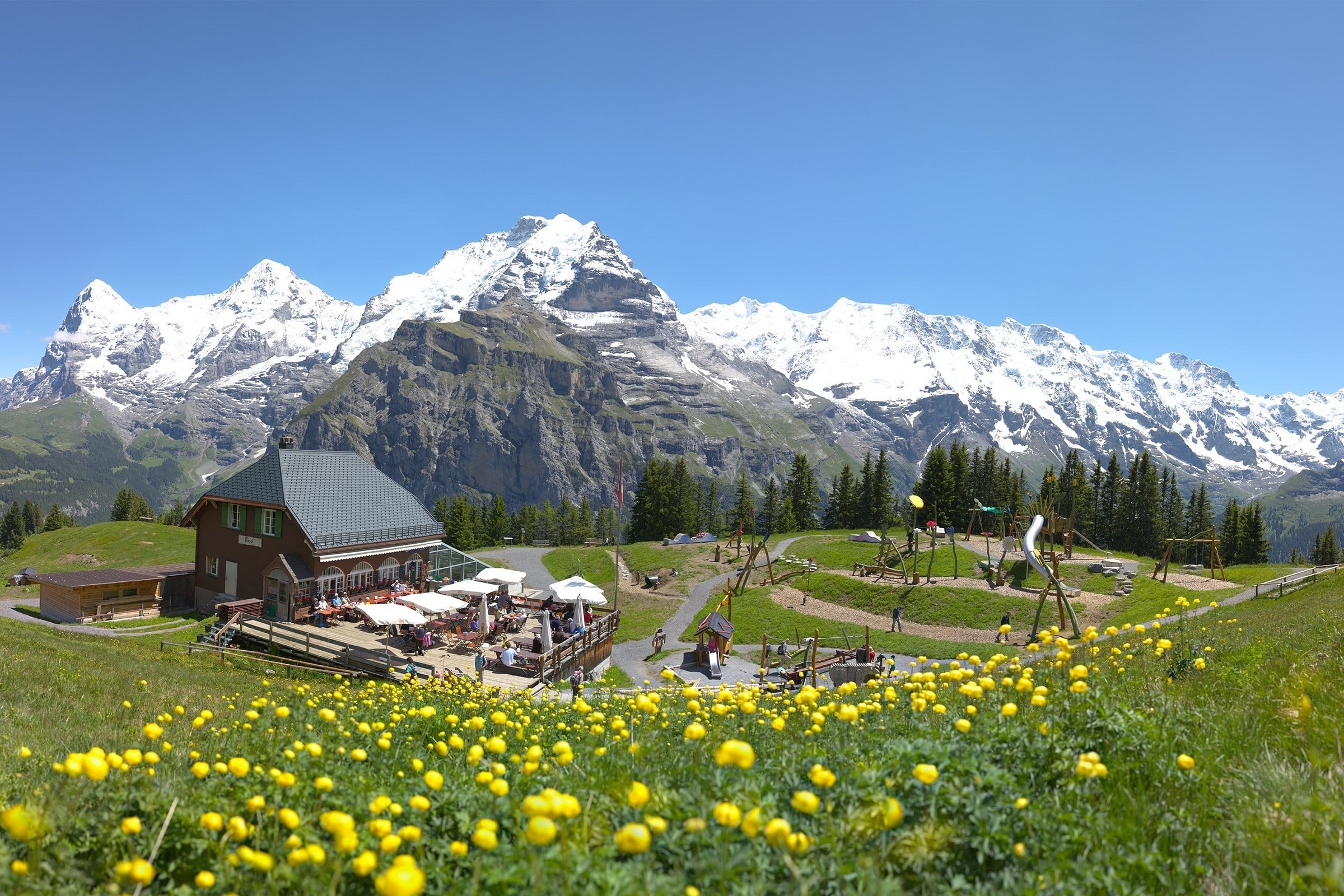
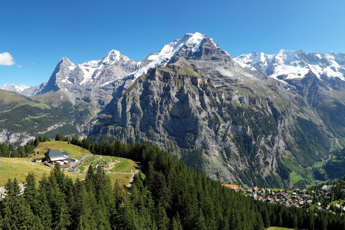
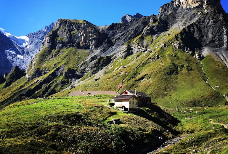
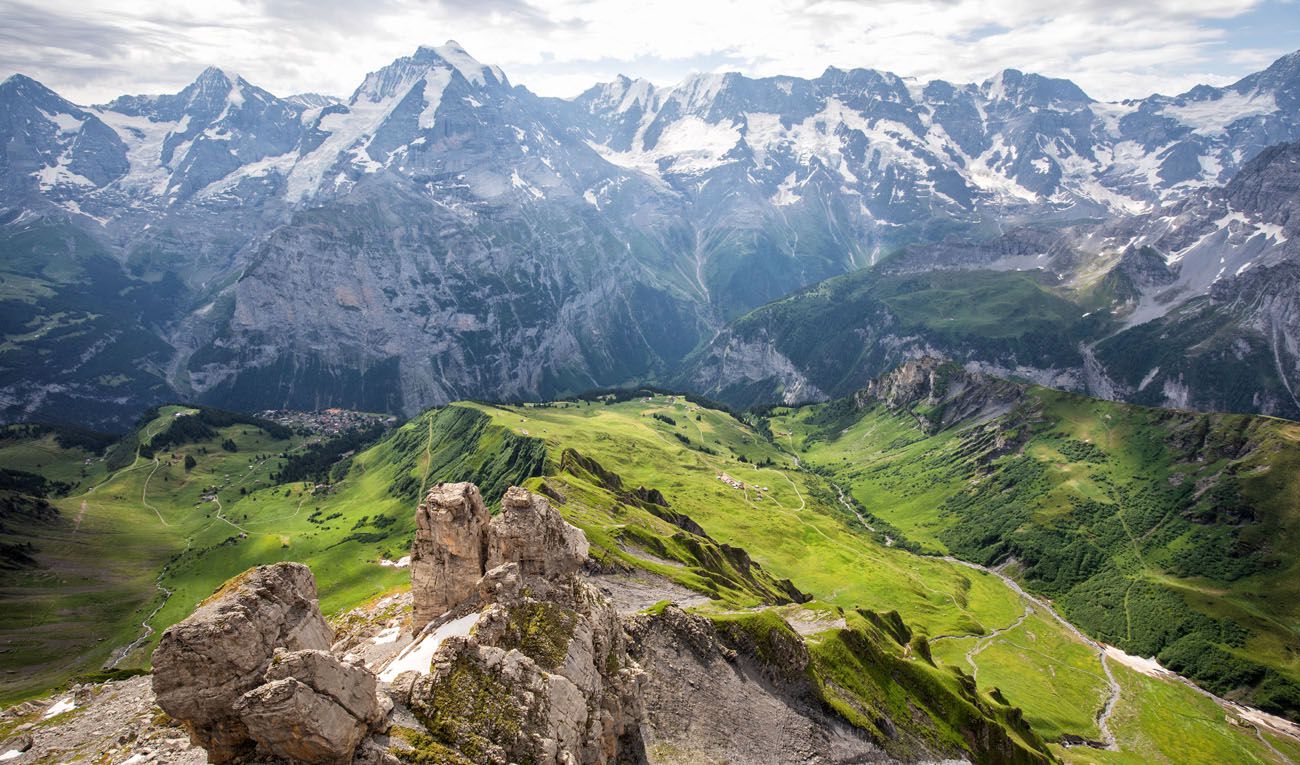
Magnificent hike starting from Mürren and passing through Höhlücke, Schlithornhütte, Seelifuhre, then climbing up to Schlithorn. The climb is relatively physically demanding, but this effort is rewarded with fabulous views along the way. The path also passes by the charming lake of Grauseewil and then returns to the direction of the starting point.

Already more than 200,000 users!
Uphill
1366m
Highest point
2954m
Downhill
1366m
Lowest point
1634m
Route type
Loop
Download the map on your smartphone to save battery and rest assured to always keep access to the route, even without signal.
Includes IGN France and Swisstopo.
I indicate whether dogs are allowed or prohibited on this trail
From June to September
1 rating
Also enjoy:

Already more than 200,000 users!