Uphill
1375m
Length
18km
Duration
9h30min
Elev gain
1375m
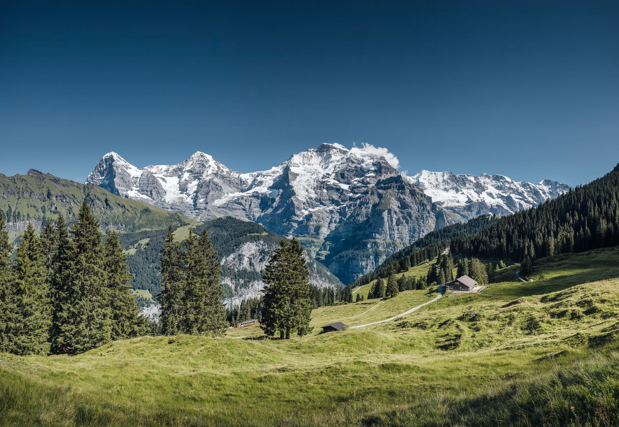
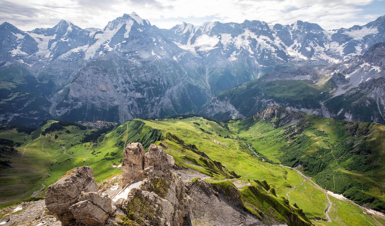
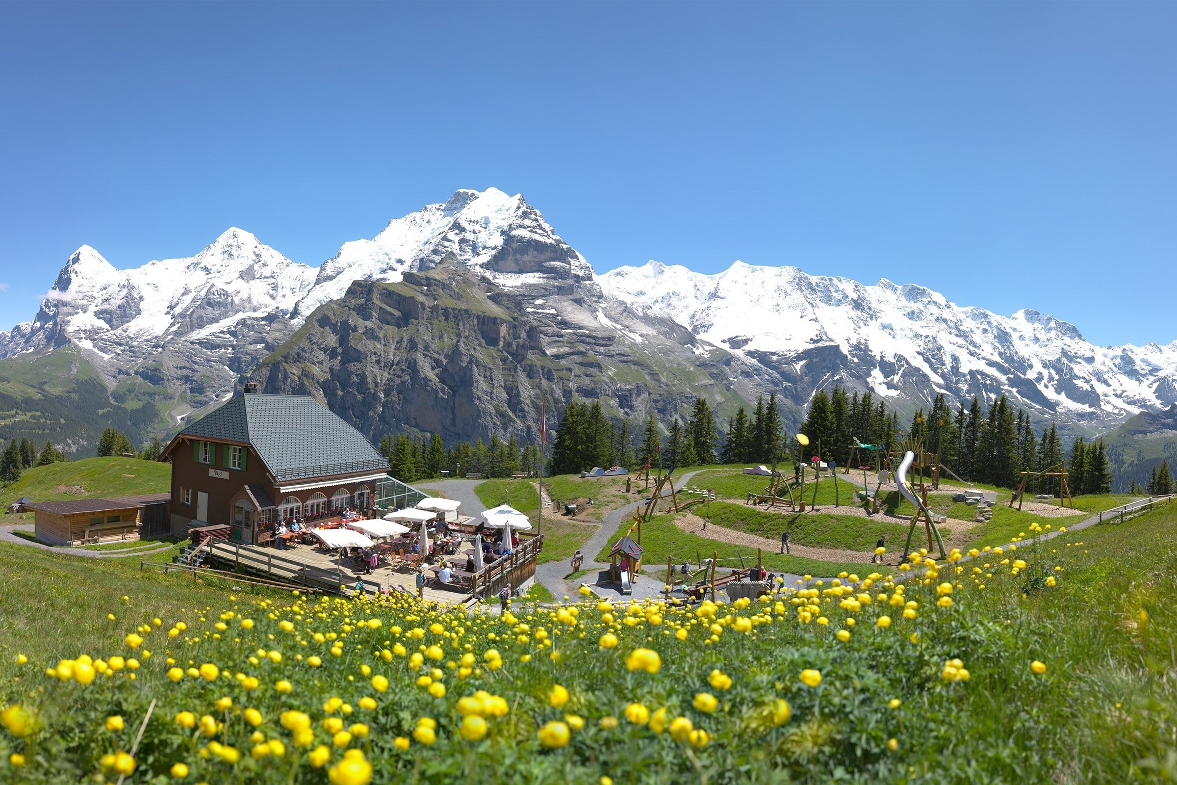
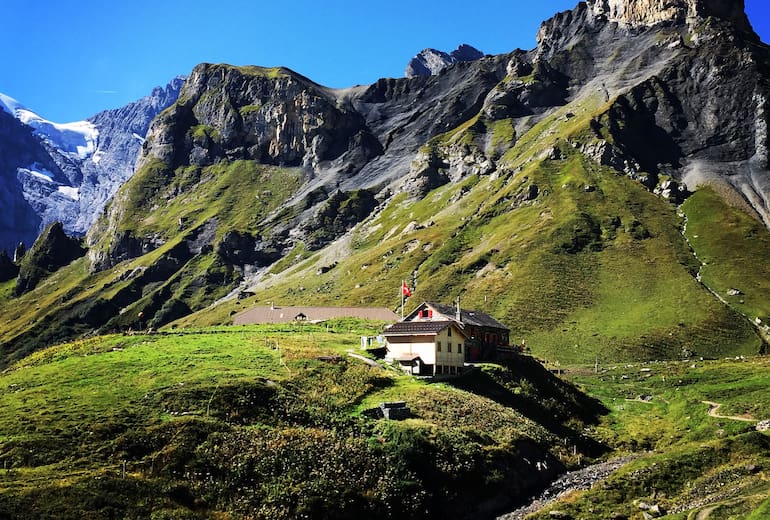
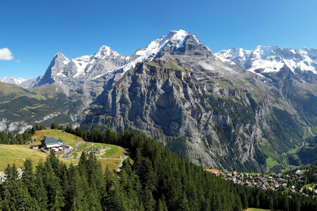
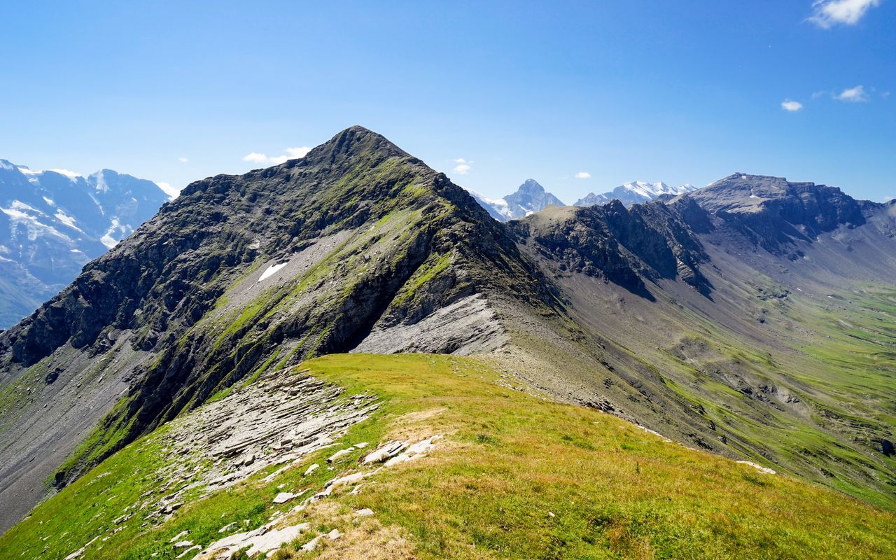
Very nice hike from Mürren station. The route alternates between forests and open slopes until you reach the Bietenhorn, a summit located at an altitude of 2,756 metres. The views of the surroundings are sublime and largely reward the efforts made.

Already more than 200,000 users!
Uphill
1375m
Highest point
2744m
Downhill
1375m
Lowest point
1592m
Route type
Loop
Download the map on your smartphone to save battery and rest assured to always keep access to the route, even without signal.
Includes IGN France and Swisstopo.
I indicate whether dogs are allowed or prohibited on this trail
From June to September
0 ratings
Also enjoy:

Already more than 200,000 users!