Uphill
0m
Length
3km
Duration
1h30min
Elev gain
0m
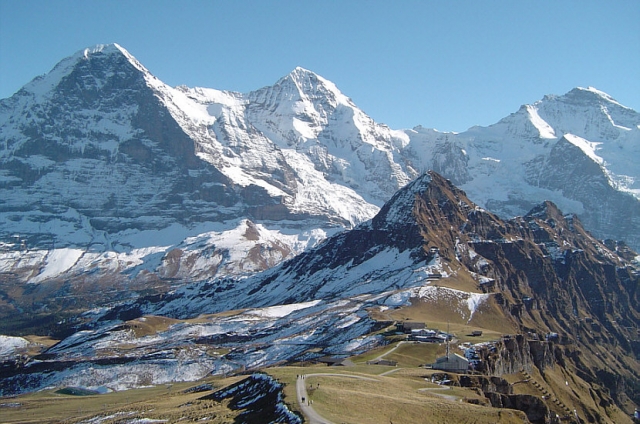
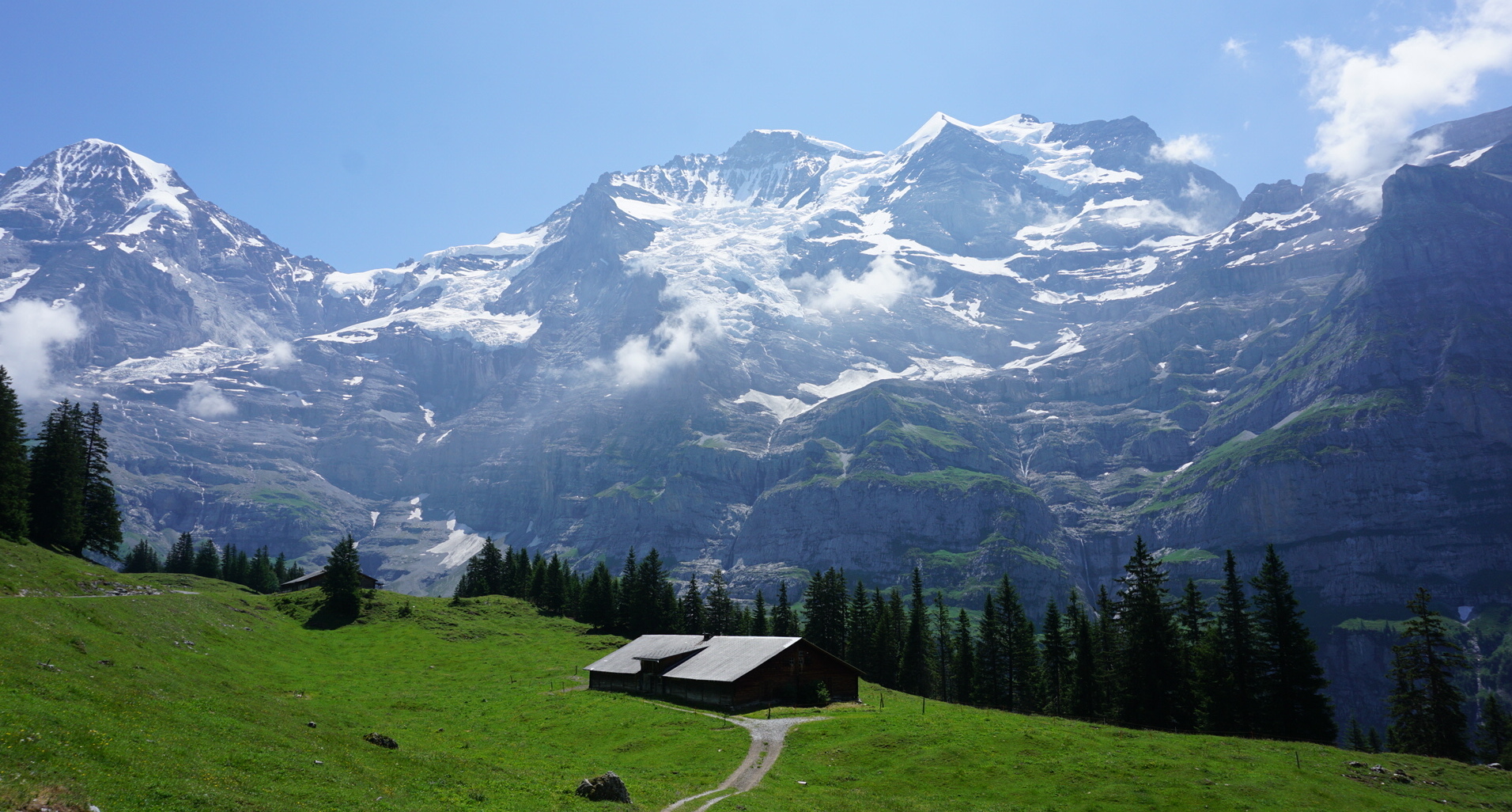
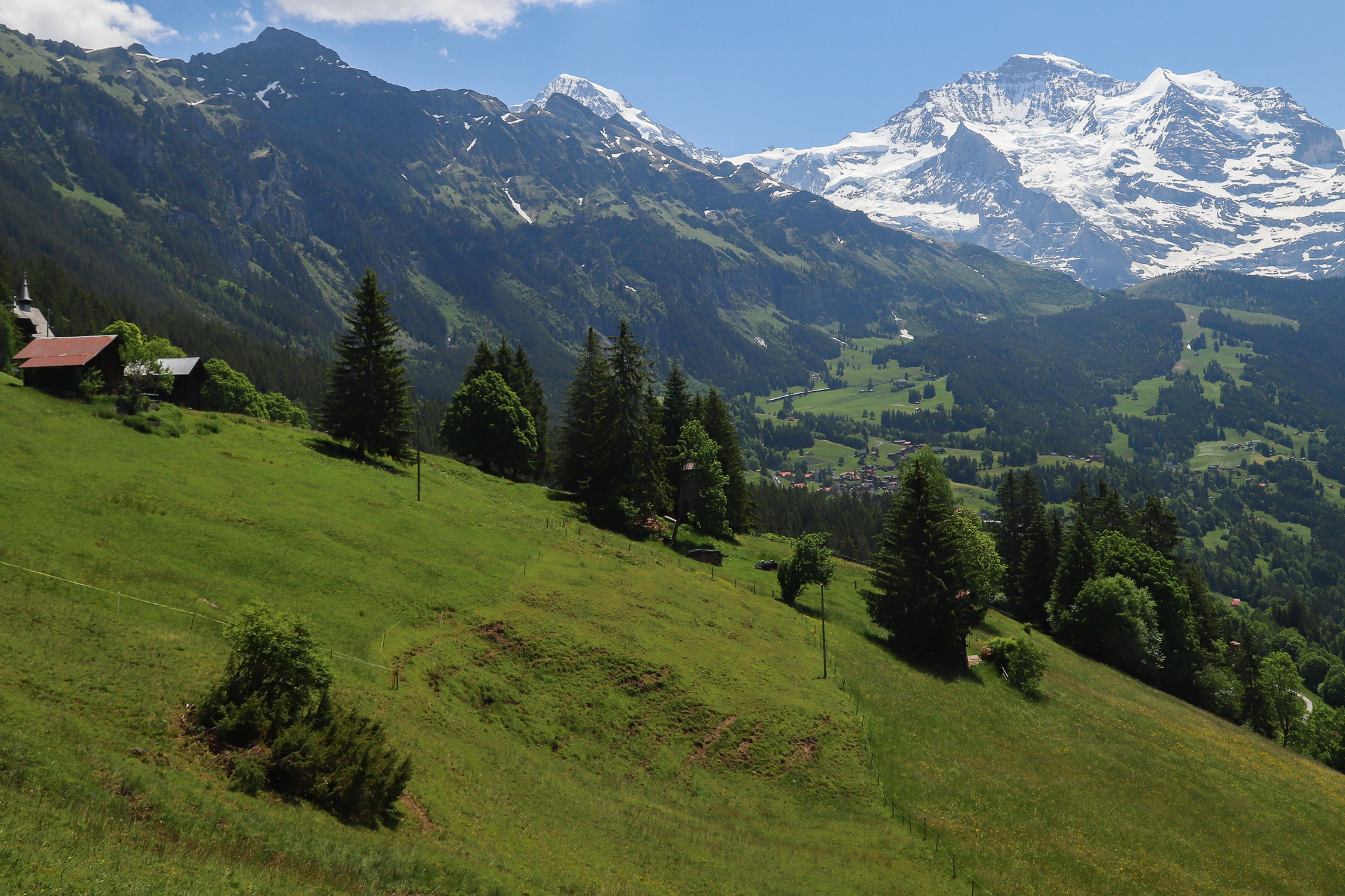
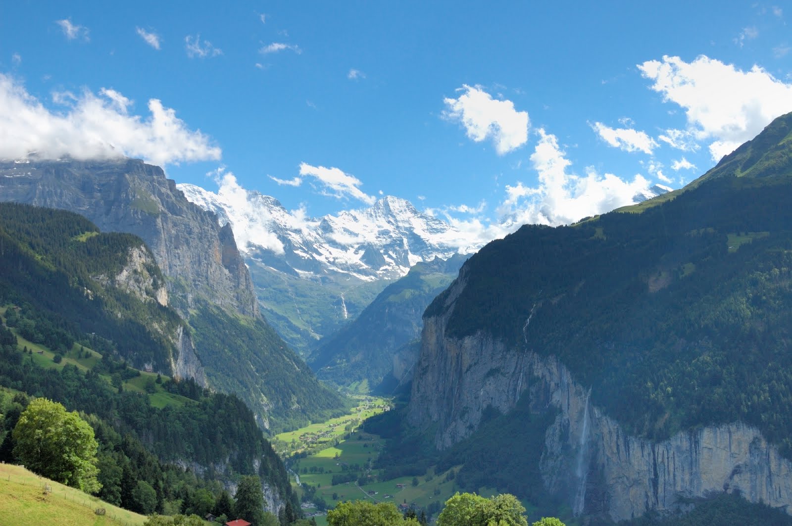
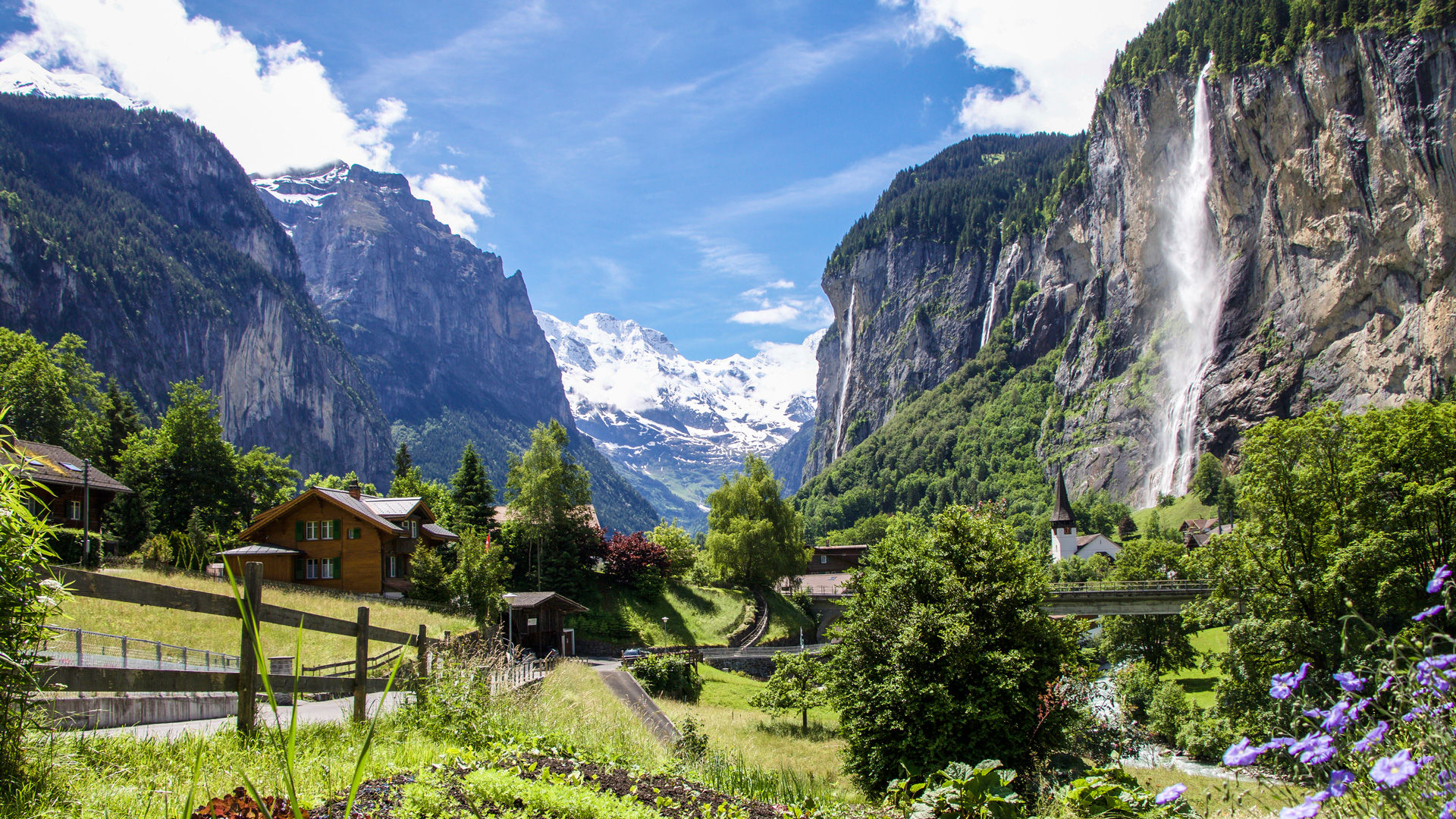
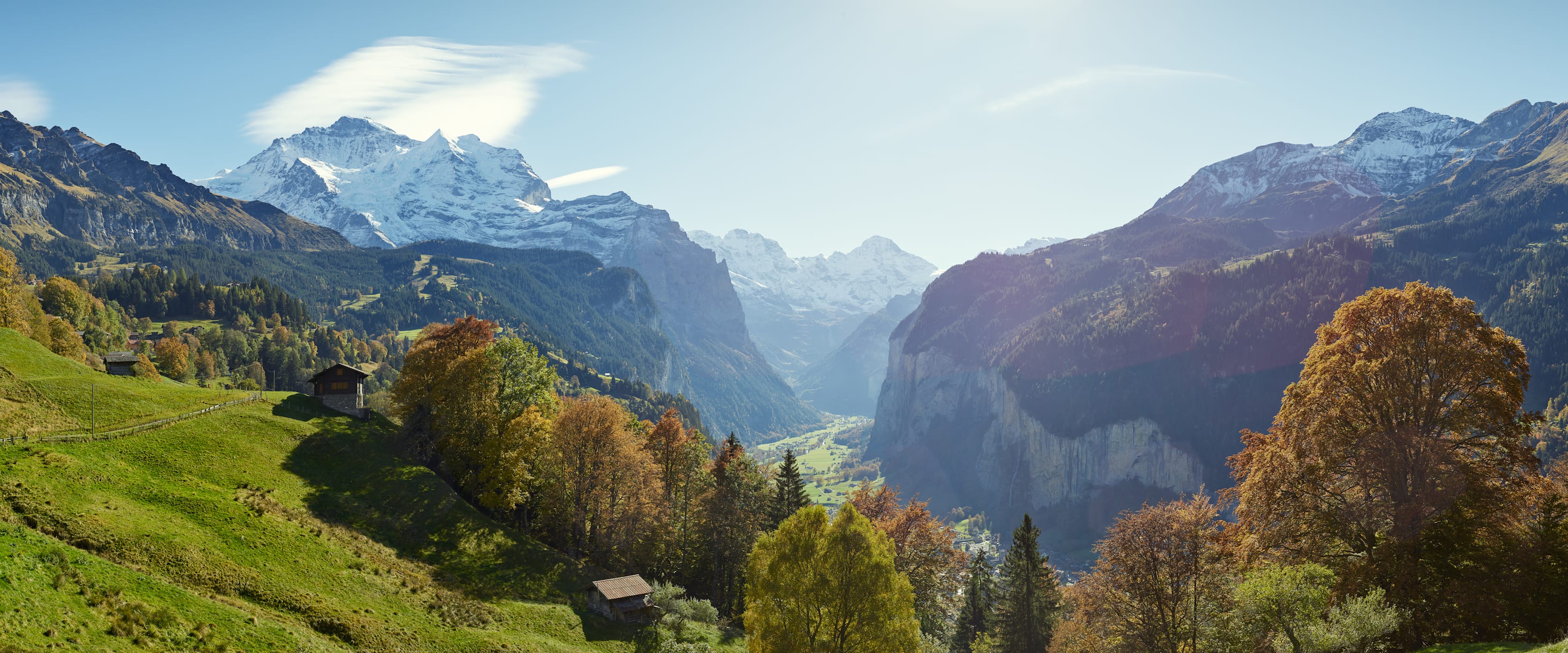
Nice route crossing between the municipalities of Wengen and Lauterbrunnen, from station to station. The route is on a downhill path that leads to Lauterbrunnen, known for its Trümmelbach waterfalls.

Already more than 200,000 users!
Uphill
0m
Highest point
1278m
Downhill
476m
Lowest point
796m
Route type
One way
Download the map on your smartphone to save battery and rest assured to always keep access to the route, even without signal.
Includes IGN France and Swisstopo.
I indicate whether dogs are allowed or prohibited on this trail
Can be difficult in Winter
1 rating
Also enjoy:

Already more than 200,000 users!