Uphill
1042m
Length
6km
Duration
4h
Elev gain
1042m
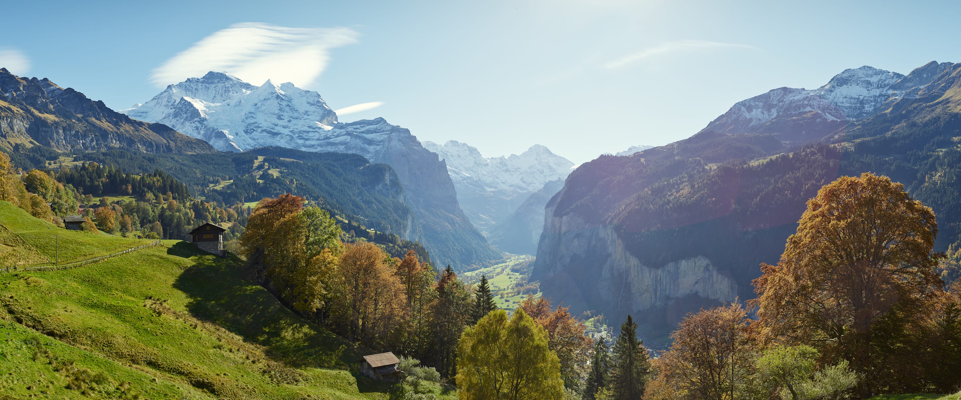
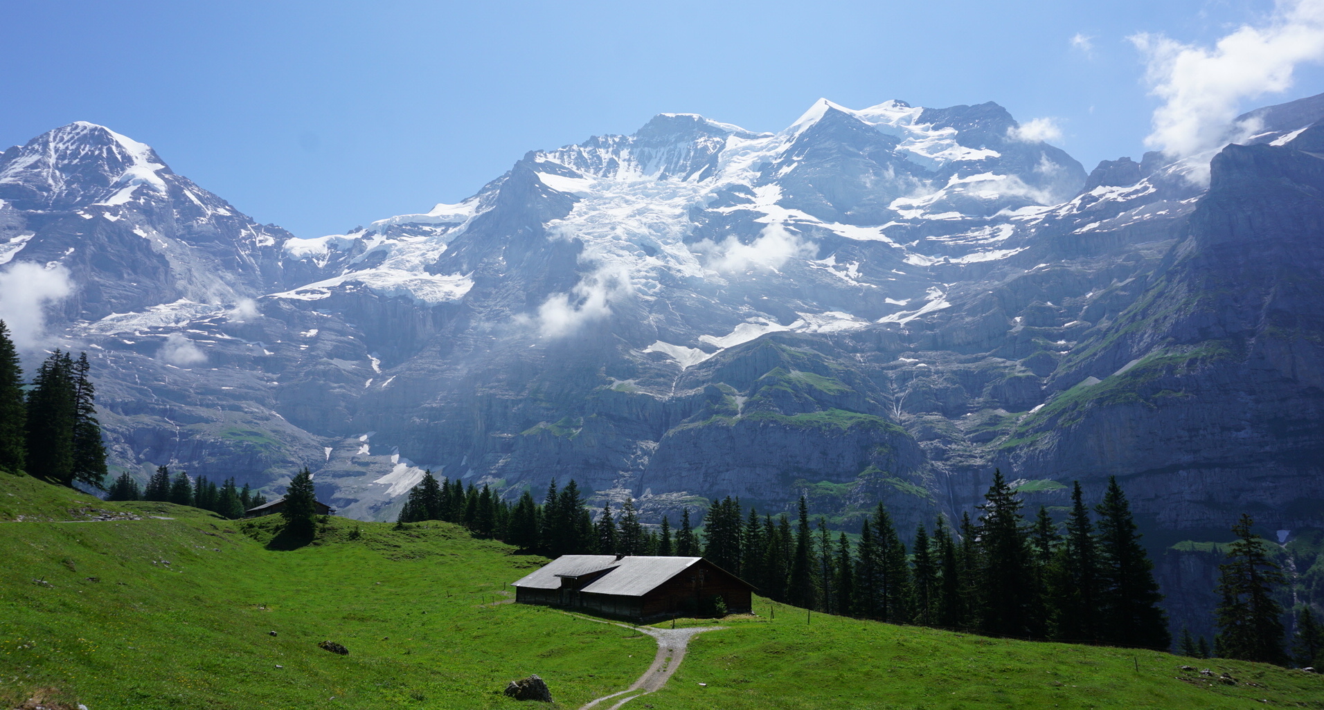
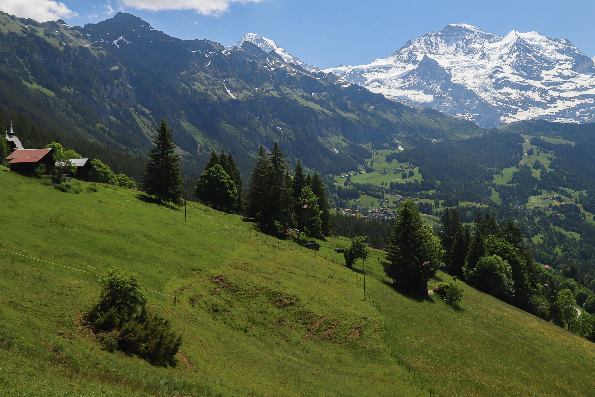
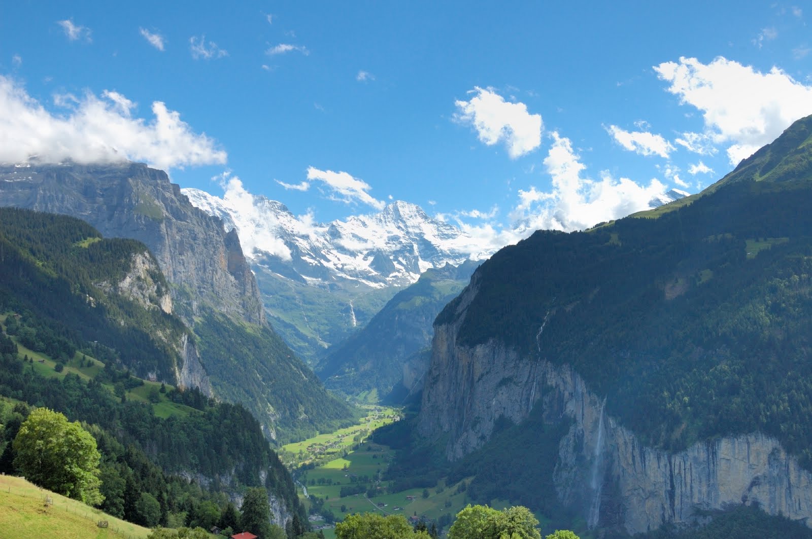
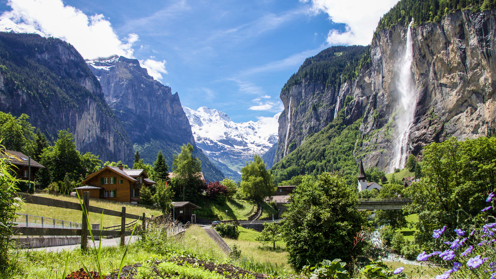
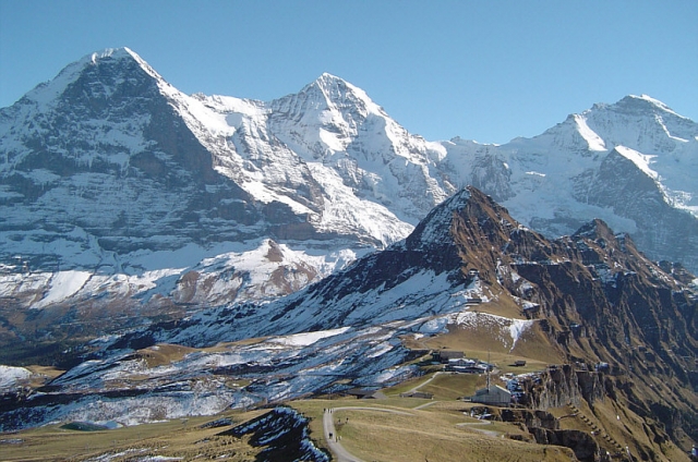
Departing from Wengen station, this crossing hike will satisfy more than one. Indeed, this steep and steep route leads to the summit of the Männlichen, located at 2,345 meters above sea level, where the view is simply incredible. The descent is done by cable car, towards Wengen or Grindelwald.

Already more than 200,000 users!
Uphill
1042m
Highest point
2329m
Downhill
0m
Lowest point
1274m
Route type
One way
Download the map on your smartphone to save battery and rest assured to always keep access to the route, even without signal.
Includes IGN France and Swisstopo.
I indicate whether dogs are allowed or prohibited on this trail
From May to September
0 ratings
Also enjoy:

Already more than 200,000 users!